Hallfield Gate

Settlement in Derbyshire North East Derbyshire

England

Hallfield Gate

Farmland by Alfreton Brook The valley bottom which is designated a flood risk from the brook. Lower Delves Farm is in the trees on the opposite slope.
Farmland by Alfreton Brook Credit: Bill Boaden

Hallfield Gate is a small village located in the county of Derbyshire, England. Situated in the Amber Valley district, it lies approximately 6 miles east of the market town of Belper. The village is nestled in a rural setting, surrounded by picturesque countryside and rolling hills.

Hallfield Gate is primarily a residential area, characterized by its charming cottages and traditional stone-built houses. The village retains a sense of tranquility and community, with a close-knit population of around 500 residents. The village is known for its peaceful atmosphere and provides a welcome escape from the hustle and bustle of nearby towns and cities.

While Hallfield Gate itself does not have many amenities, the nearby village of Kilburn offers a range of facilities including shops, pubs, and a primary school. The village is well-connected to the wider area, with easy access to major road networks and public transportation.

The surrounding area offers a plethora of outdoor activities and attractions for residents and visitors alike. The Peak District National Park, a renowned area of natural beauty, is within close proximity, providing opportunities for hiking, cycling, and exploring the stunning landscapes. The nearby Derwent Valley Mills, a UNESCO World Heritage Site, is also worth a visit, showcasing the area's rich industrial heritage.

Overall, Hallfield Gate offers a peaceful and idyllic setting, making it a desirable place to live for those seeking a quiet village lifestyle with easy access to both rural and urban amenities.

If you have any feedback on the listing, please let us know in the comments section below.

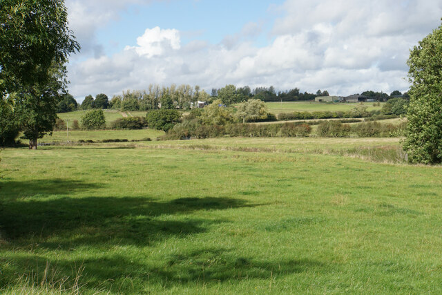
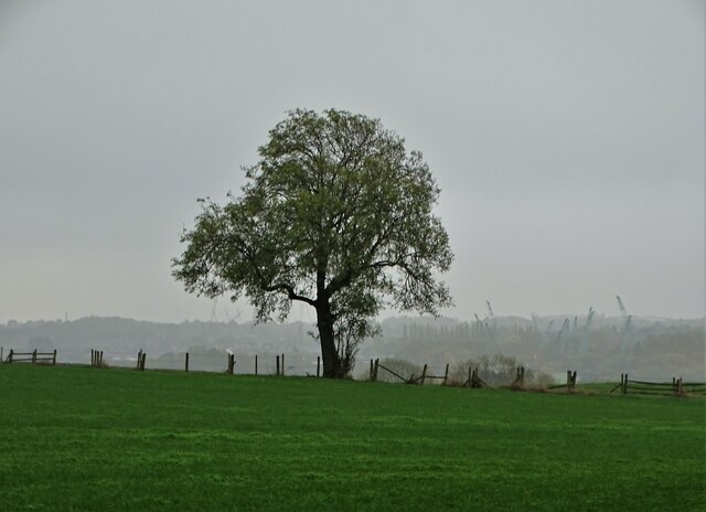
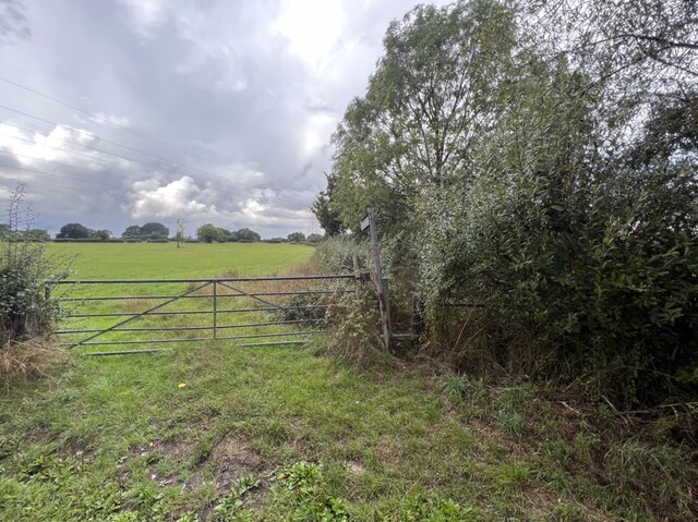
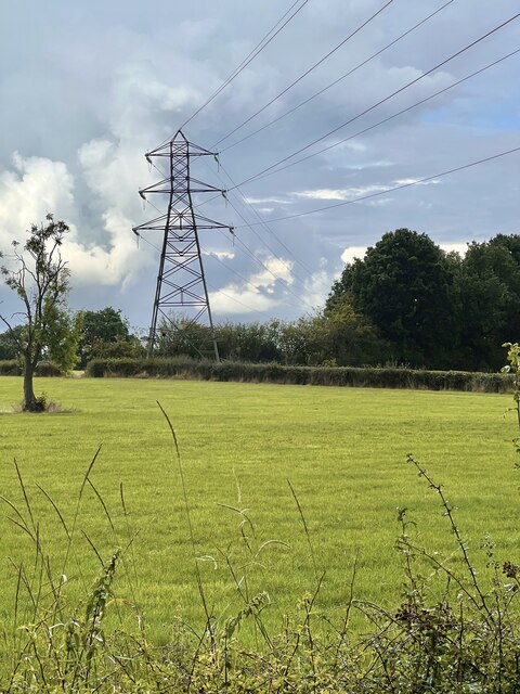
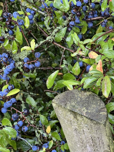
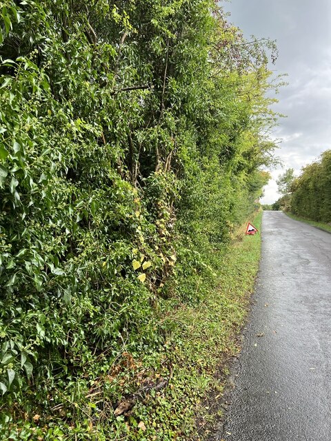
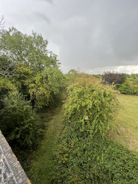
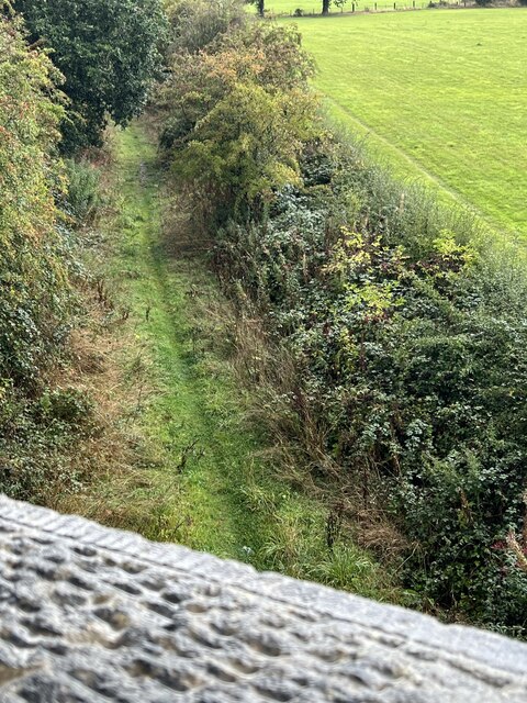
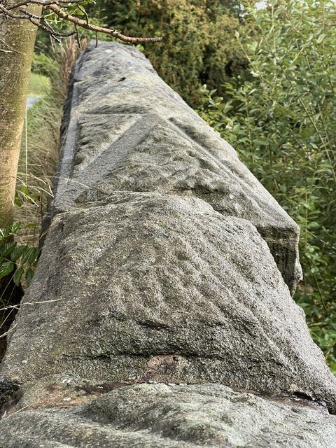
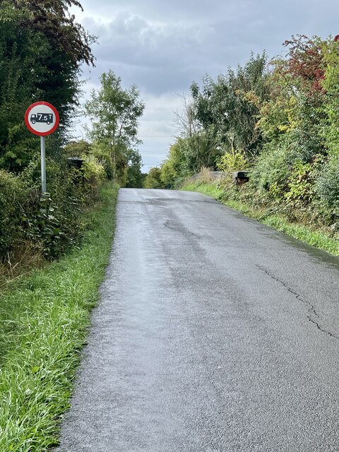
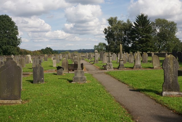
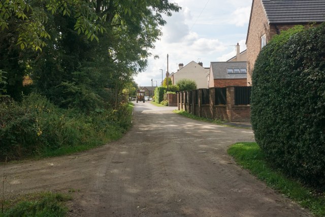
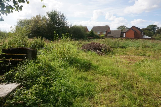
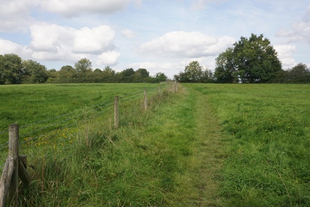
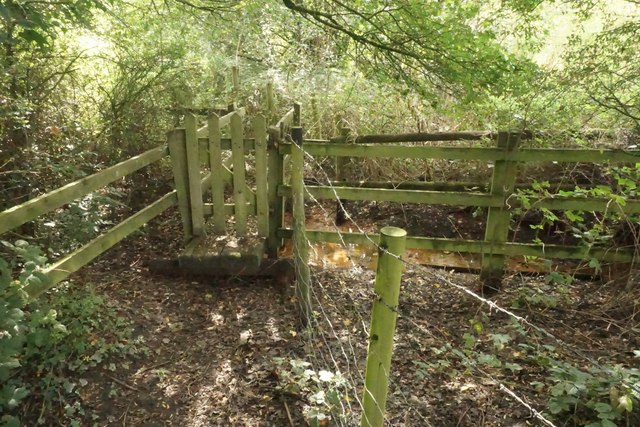
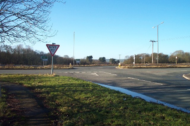
Hallfield Gate Images

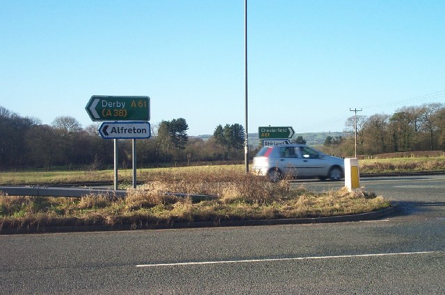
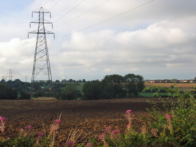
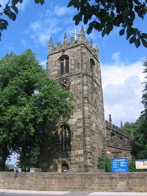
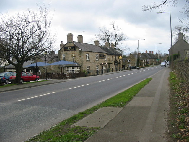
Images are sourced within 2km of 53.119499/-1.410503 or Grid Reference SK3958. Thanks to Geograph Open Source API. All images are credited.

Farmland by Alfreton Brook The valley bottom which is designated a flood risk from the brook. Lower Delves Farm is in the trees on the opposite slope.
Farmland by Alfreton Brook
The valley bottom which is designated a flood risk from the brook. Lower Delves Farm is in the trees on the opposite slope.
Lone tree in the landscape - south of Shirland
Footpath and gateway Public footpath towards Mickley.
Footpath and gateway
Public footpath towards Mickley.
Power line The main electric power line heading towards Chesterfield.
Power line
The main electric power line heading towards Chesterfield.
Hedgerow Berries Purple Sloe berries in the hedge row.
Hedgerow Berries
Purple Sloe berries in the hedge row.
Overgrown hedge A variety of different bushes in the hedge approaching the old railway bridge.
Overgrown hedge
A variety of different bushes in the hedge approaching the old railway bridge.
Old trackbed Looking north west onto the old trackbed.
Old trackbed
Looking north west onto the old trackbed.
Old Railway track bed Looking south east, the path appears to be well used.
Old Railway track bed
Looking south east, the path appears to be well used.
Capping Stones The stone masonry has an interesting pattern to the carving on it.
Capping Stones
The stone masonry has an interesting pattern to the carving on it.
Weight limit The old bridge isn’t allowed to have heavy vehicles over it as can be seen by the badly cracked road surface approaching the summit.
Weight limit
The old bridge isn’t allowed to have heavy vehicles over it as can be seen by the badly cracked road surface approaching the summit.
Churchyard of St Leonard's, Shirland A large churchyard behind the church and the far end is still active.
Churchyard of St Leonard's, Shirland
A large churchyard behind the church and the far end is still active.
Church Street Originally a track but the part further on has been made up to adopted standards to give access to new housing.
Church Street
Originally a track but the part further on has been made up to adopted standards to give access to new housing.
Waste land on the edge of Shirland New housing on Wellington Park can be seen on the far side.
Waste land on the edge of Shirland
New housing on Wellington Park can be seen on the far side.
Footpath to Stonebroom A path over green fields linking the former mining villages of Shirland and Stonebroom.
Footpath to Stonebroom
A path over green fields linking the former mining villages of Shirland and Stonebroom.
Footpath near Shirland Just over the little footbridge, the path disappears into undergrowth and is not currently passable.
Footpath near Shirland
Just over the little footbridge, the path disappears into undergrowth and is not currently passable.
Road junction near Alfreton Junction of the B6025 and the A61 Alfreton to Chesterfield road
Road junction near Alfreton
Junction of the B6025 and the A61 Alfreton to Chesterfield road
Road signs at junction near Alfreton Roads signs at the junction of the B6025 with the A61 Alfreton to Chesterfield road.
Road signs at junction near Alfreton
Roads signs at the junction of the B6025 with the A61 Alfreton to Chesterfield road.
Across the fields to Stonebroom The picture was taken from Dam Lane, Shirland, looking across the fields to Stonebroom. The southern edge of Stonebroom housing estate can be seen to the centre right of the picture. The houses of the estate were owned by the coal board to provide housing for Derbyshire miners.
Across the fields to Stonebroom
The picture was taken from Dam Lane, Shirland, looking across the fields to Stonebroom. The southern edge of Stonebroom housing estate can be seen to the centre right of the picture. The houses of the estate were owned by the coal board to provide housing for Derbyshire miners.
Show me another place!

Hallfield Gate is located at Grid Ref: SK3958 (Lat: 53.119499, Lng: -1.410503)

Administrative County: Derbyshire

District: North East Derbyshire

Police Authority: Derbyshire

What 3 Words

///frames.ends.slows. Near Shirland, Derbyshire

Related Wikis

Shirland

Shirland is a former pit village in Derbyshire, England. Together with the neighbouring villages of Higham, Stretton and Stonebroom, it forms part of the...

St Leonard's Church, Shirland

St Leonard's Church, Shirland is a Grade II* listed parish church in the Church of England: 317  in Shirland, Derbyshire. == History == The church dates...

Shirland and Higham

Shirland and Higham is a civil parish within the North East Derbyshire district, which is in the county of Derbyshire, England. Mainly built up with rural...

Higham, Derbyshire

Higham is a small village in Derbyshire, England. It is on the B6013 and A61 roads. Nearby settlements include Shirland, Stretton, Alfreton and Clay Cross...

Nearby Amenities

Located within 500m of 53.119499,-1.410503
Bus Stop
Bus: yes
Public Transport: platform
Lat/Long: 53.1214078/-1.4056854
Bus Stop
Bus: yes
Public Transport: platform
Lat/Long: 53.1211194/-1.4066724
Bus Stop
Bus: yes
Public Transport: platform
Lat/Long: 53.1210215/-1.4088353
Bus Stop
Bus: yes
Public Transport: platform
Lat/Long: 53.1205833/-1.4114546
Bus Stop
Bus: yes
Public Transport: platform
Lat/Long: 53.1201252/-1.412672
Post Box
Ref: DE55 441
Lat/Long: 53.1198265/-1.4136934
Hallfield Gate
Is In: Derbyshire, England, UK
Place: village
Lat/Long: 53.1198867/-1.4145155
Bus Stop
St Leonard's Church
Bus: yes
Public Transport: platform
Lat/Long: 53.1223606/-1.4048694
Turning Circle
Lat/Long: 53.1213786/-1.4093789
Barrier: stile
Steps: 2
Stile: stepover
Lat/Long: 53.1209385/-1.4035741
Turning Circle
Lat/Long: 53.1219815/-1.4115363
Turning Circle
Lat/Long: 53.1213767/-1.4140806
Crossing
Crossing: uncontrolled
Crossing Ref: zebra
Source: survey
Lat/Long: 53.122064/-1.4047515
Ele: 127
Lat/Long: 53.1218323/-1.4044238
Barrier: stile
Ele: 108.2734375
Steps: 1
Stile: stepover
Lat/Long: 53.1160792/-1.4118684
Barrier: stile
Ele: 123.1737061
Steps: 1
Stile: stepover
Lat/Long: 53.1176465/-1.4044106
Barrier: stile
Ele: 124.8560791
Steps: 1
Stile: stepover
Lat/Long: 53.120818/-1.4038872
Barrier: stile
Ele: 119.0881348
Steps: 1
Stile: stepover
Lat/Long: 53.1173184/-1.4125357
Ele: 119
Lat/Long: 53.1182853/-1.4143162
Ele: 109.4750977
Lat/Long: 53.1175913/-1.4098033
Ele: 111.8782959
Lat/Long: 53.1172876/-1.4090369
Ele: 103.9475098
Lat/Long: 53.1155177/-1.41028
Ele: 104.6684570
Lat/Long: 53.1161859/-1.4098831
Ele: 107.0716553
Lat/Long: 53.1168254/-1.4098875
Passing Place
Lat/Long: 53.1202517/-1.4056563
Barrier: gate;stile
Steps: 0
Stile: stepover
Lat/Long: 53.1201914/-1.4057384
Ele: 119.0881348
Lat/Long: 53.1192246/-1.4074193
Ele: 119.3284912
Lat/Long: 53.1188387/-1.4077489
Ele: 118.3670654
Lat/Long: 53.1183102/-1.4076188
Ele: 118.1268311
Lat/Long: 53.117584/-1.4075088
Ele: 117.4058838
Lat/Long: 53.1175463/-1.4075345
Ele: 116.4444580
Lat/Long: 53.1174188/-1.408531
ABM News
Ele: 128
Shop: newsagent
Lat/Long: 53.1210459/-1.408237
Bus Stop
Bus: yes
Ele: 125.5770264
Naptan AtcoCode: 1000DSHL2911
Naptan NaptanCode: dbsdjgtg
Public Transport: platform
Lat/Long: 53.1207893/-1.4093839
Bus Stop
Bus: yes
Ele: 134.2287598
Public Transport: platform
Lat/Long: 53.1201083/-1.4133081
Bench
Backrest: yes
Ele: 139.7562256
Lat/Long: 53.1205488/-1.4154941
Ele: 131
Lat/Long: 53.1236851/-1.4080279
Ele: 126.7786865
Lat/Long: 53.1220837/-1.4103746
Manor Farm Shop
Shop: butcher
Source: survey
Lat/Long: 53.121204/-1.404531
Walls Coals and Skip Hire
Source: survey
Lat/Long: 53.1227936/-1.4062742
Bus Stop
St Leonard's Church
Bus: yes
Public Transport: platform
Lat/Long: 53.1209167/-1.4040168
Toilets
Fee: no
Female: yes
Lat/Long: 53.1169101/-1.4092187
Shirland Pit
Information: board
Tourism: information
Lat/Long: 53.1215774/-1.4046865
Direction: WSW
Generator Method: photovoltaic
Generator Output Electricity: yes
Generator Solar Modules: 16
Generator Source: solar
Generator Type: solar_photovoltaic_panel
Location: roof
Power: generator
Lat/Long: 53.1210795/-1.4141959
Direction: WSW
Generator Method: photovoltaic
Generator Output Electricity: yes
Generator Solar Modules: 10
Generator Source: solar
Generator Type: solar_photovoltaic_panel
Location: roof
Power: generator
Lat/Long: 53.1216308/-1.4111227
Direction: ENE
Generator Method: photovoltaic
Generator Output Electricity: yes
Generator Solar Modules: 10
Generator Source: solar
Generator Type: solar_photovoltaic_panel
Location: roof
Power: generator
Lat/Long: 53.1216379/-1.4110668
Direction: WSW
Generator Method: photovoltaic
Generator Output Electricity: yes
Generator Solar Modules: 10
Generator Source: solar
Generator Type: solar_photovoltaic_panel
Location: roof
Power: generator
Lat/Long: 53.1205014/-1.4150871
Direction: WSW
Generator Method: photovoltaic
Generator Output Electricity: yes
Generator Solar Modules: 10
Generator Source: solar
Generator Type: solar_photovoltaic_panel
Location: roof
Power: generator
Lat/Long: 53.1205636/-1.4151521
Direction: SSE
Generator Method: photovoltaic
Generator Output Electricity: yes
Generator Source: solar
Generator Type: solar_photovoltaic_panel
Location: roof
Power: generator
Lat/Long: 53.1211089/-1.4097448
Direction: 170
Generator Method: photovoltaic
Generator Output Electricity: yes
Generator Solar Modules: 10
Generator Source: solar
Generator Type: solar_photovoltaic_panel
Location: roof
Power: generator
Lat/Long: 53.121619/-1.4101991
Direction: 170
Generator Method: photovoltaic
Generator Output Electricity: yes
Generator Solar Modules: 4
Generator Source: solar
Generator Type: solar_photovoltaic_panel
Location: roof
Power: generator
Lat/Long: 53.1207104/-1.4081472
Direction: 170
Generator Method: photovoltaic
Generator Output Electricity: yes
Generator Solar Modules: 4
Generator Source: solar
Generator Type: solar_photovoltaic_panel
Location: roof
Power: generator
Lat/Long: 53.1207188/-1.4080546
Direction: 170
Generator Method: photovoltaic
Generator Output Electricity: yes
Generator Solar Modules: 8
Generator Source: solar
Generator Type: solar_photovoltaic_panel
Location: roof
Power: generator
Lat/Long: 53.1207655/-1.4080399
Direction: 150
Generator Method: photovoltaic
Generator Output Electricity: yes
Generator Solar Modules: 15
Generator Source: solar
Generator Type: solar_photovoltaic_panel
Location: roof
Power: generator
Lat/Long: 53.1215077/-1.4054516
The data included in this document is from www.openstreetmap.org. The data is made available under ODbL.

Have you been to Hallfield Gate?

Leave your review of Hallfield Gate below (or comments, questions and feedback).