Admaston

Settlement in Staffordshire East Staffordshire

England

Admaston

Blythfield Reservoir Complete with a stack of logs.
Blythfield Reservoir Credit: Jonathan Billinger

Admaston is a small village located in the county of Staffordshire, England. Situated approximately 4 miles north of the town of Rugeley, Admaston is nestled amidst the picturesque countryside of the Cannock Chase Area of Outstanding Natural Beauty.

With a population of around 1,000 residents, Admaston boasts a close-knit community atmosphere. The village is predominantly residential, with a mix of traditional stone cottages and modern housing developments. Its peaceful ambiance and beautiful surroundings make it an attractive place for families and nature enthusiasts alike.

Admaston benefits from its proximity to Cannock Chase, a designated Area of Outstanding Natural Beauty known for its diverse wildlife and stunning landscapes. The area offers numerous outdoor activities, including hiking, cycling, and horse riding trails, making it popular with locals and visitors alike.

Although small, Admaston has a few amenities to cater to the needs of its residents. These include a local primary school, a village hall, and a small convenience store. For additional services and facilities, residents can easily access the nearby town of Rugeley, which offers a wider range of shops, supermarkets, and leisure activities.

Transport links in Admaston are relatively convenient. The village is well-connected by road, with the A51 passing nearby, providing easy access to surrounding towns and cities. The nearest railway station is located in Rugeley, offering regular services to Birmingham and Stafford.

In summary, Admaston is a charming village nestled within the beautiful countryside of Staffordshire. Its tranquil atmosphere, proximity to nature, and close-knit community make it an idyllic place to live or visit.

If you have any feedback on the listing, please let us know in the comments section below.
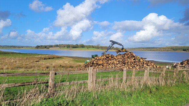
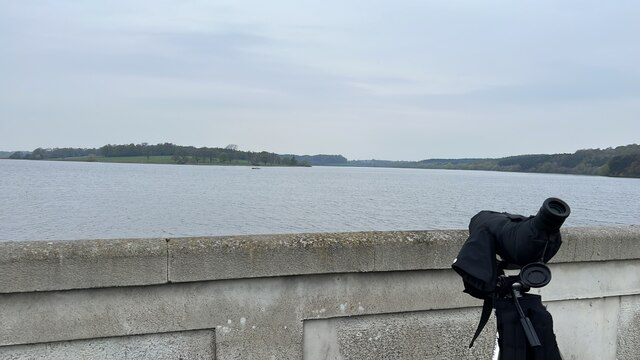
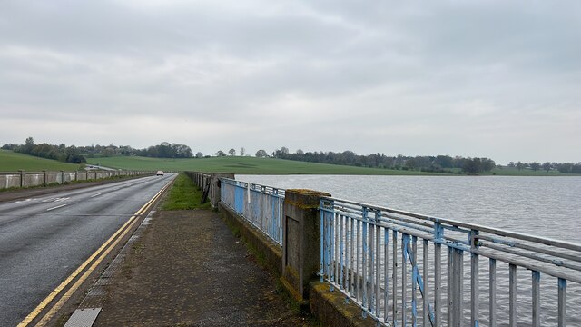
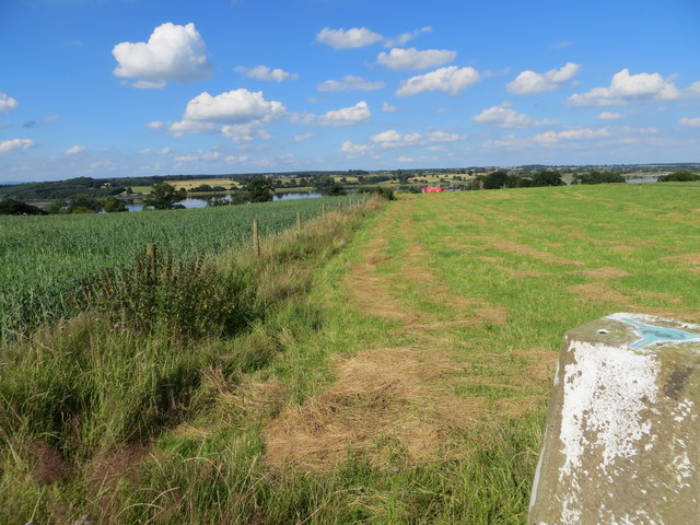
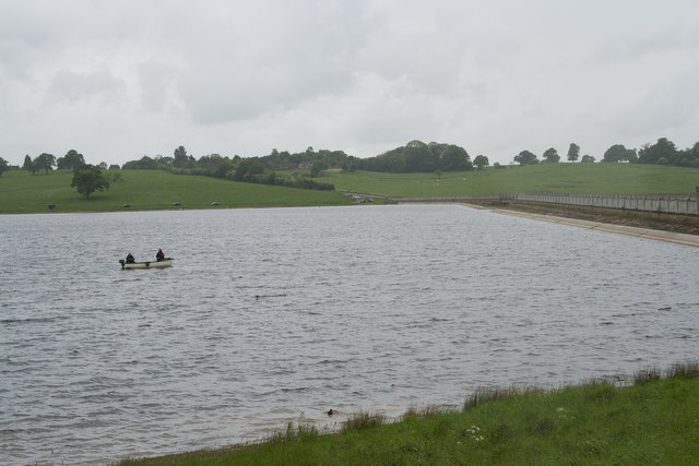
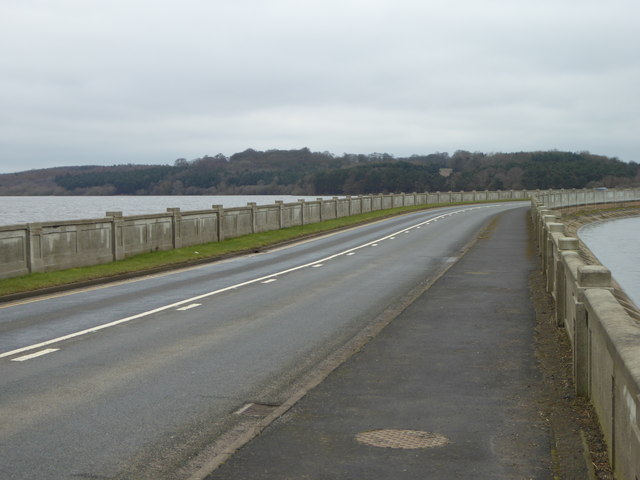
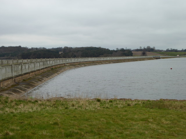
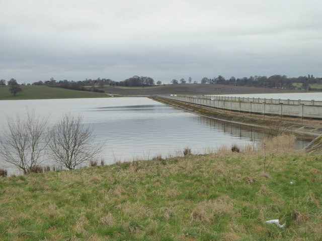
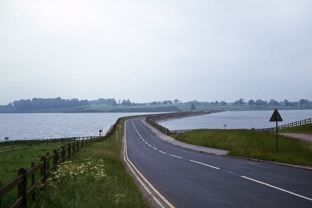
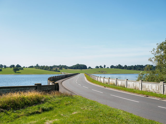
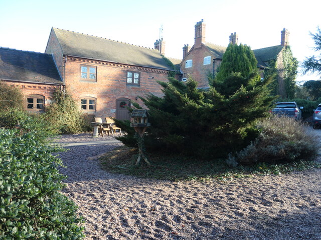
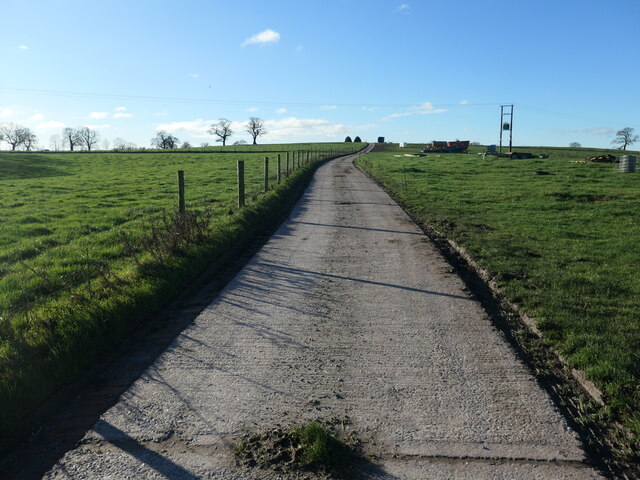
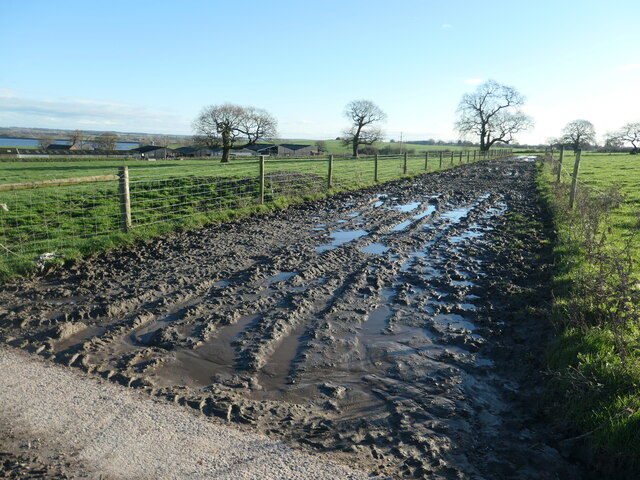
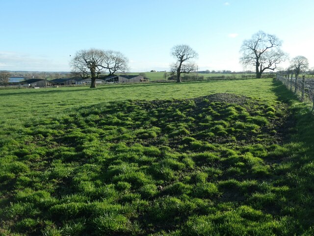
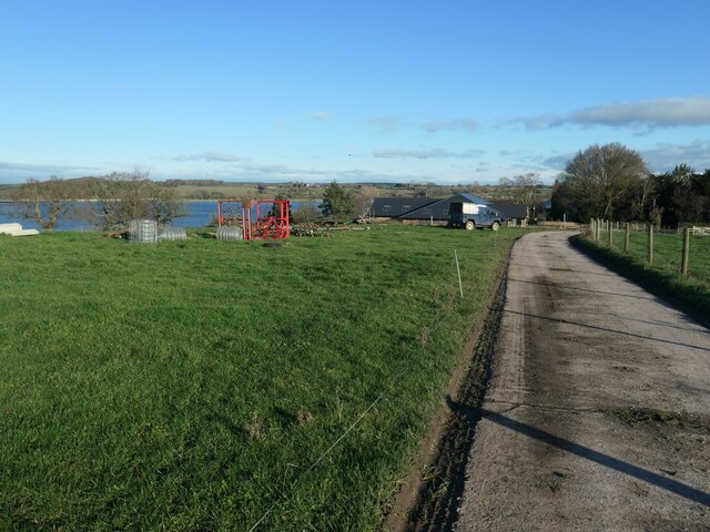
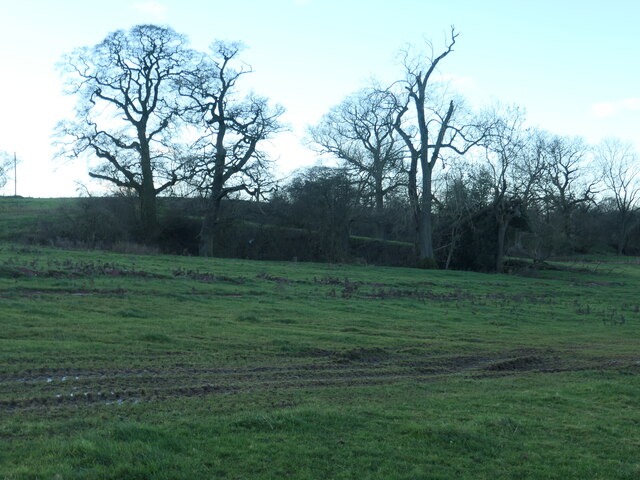
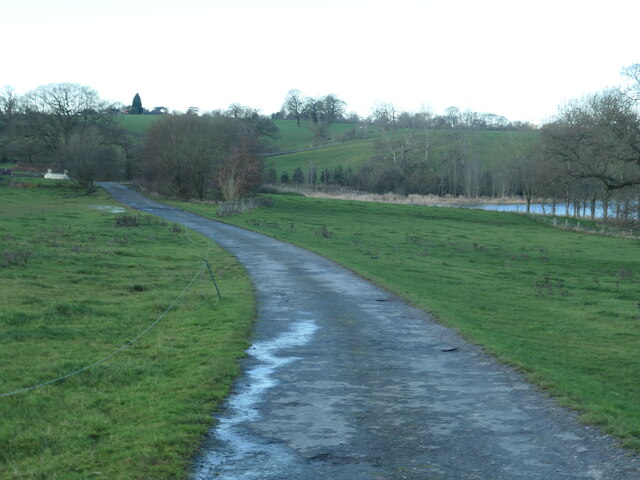
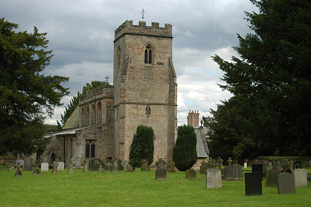
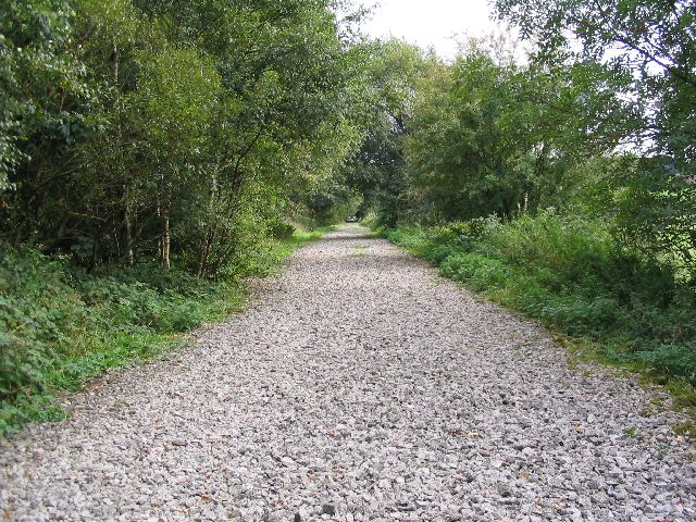
Admaston Images

Images are sourced within 2km of 52.806217/-1.926982 or Grid Reference SK0523. Thanks to Geograph Open Source API. All images are credited.

Blythfield Reservoir Complete with a stack of logs.
Blythfield Reservoir
Complete with a stack of logs.
Blithfield, St Leonard
Blithfield Reservoir A spring evening, dull rainy heavily cloudy weather all day and with a steady south-easterly breeze. Perfect for bringing down passing migrants, and sure enough my 'scope revealed nearly 70 Common/Arctic Terns (of which all I could certainly identify were Arctic) and 3 Black Terns, all beating to and fro low over the water of the north basin.
Blithfield Reservoir
A spring evening, dull rainy heavily cloudy weather all day and with a steady south-easterly breeze. Perfect for bringing down passing migrants, and sure enough my 'scope revealed nearly 70 Common/Arctic Terns (of which all I could certainly identify were Arctic) and 3 Black Terns, all beating to and fro low over the water of the north basin.
Causeway of Blithfield Reservoir
Field Edge view at St Stephen's Hill Triangulation Pillar Looking north-eastward.
Field Edge view at St Stephen's Hill Triangulation Pillar
Looking north-eastward.
Blithfield Reservoir The view across the reservoir from Watery Lane shows one of two boats with people fishing in the rain. The right hand edge shows the causeway across the reservoir that carries the B5013. 

As we drove across the causeway and also whilst we stopped to take the photo there were large numbers of Swift swooping low over the water. I presume they were catching insects to stock up their body reserves after the long migration from Africa.
Blithfield Reservoir
The view across the reservoir from Watery Lane shows one of two boats with people fishing in the rain. The right hand edge shows the causeway across the reservoir that carries the B5013. As we drove across the causeway and also whilst we stopped to take the photo there were large numbers of Swift swooping low over the water. I presume they were catching insects to stock up their body reserves after the long migration from Africa.
Causeway across Blithfield Reservoir Carrying the B5013.
Causeway across Blithfield Reservoir
Carrying the B5013.
The southern part of Blithfield Reservoir and the B5013 causeway
The eastern end of the causeway across Blithfield Reservoir The causeway carries the B5013.
The eastern end of the causeway across Blithfield Reservoir
The causeway carries the B5013.
The B5013 causeway across Blithfield Reservoir near Rugeley
Blithfield Reservoir, Staffordshire Causeway across Blithfield Reservoir. Opened October 1953. The reservoir covers an area of 790 acres and a capacity of 18,200 million litres of water.
Blithfield Reservoir, Staffordshire
Causeway across Blithfield Reservoir. Opened October 1953. The reservoir covers an area of 790 acres and a capacity of 18,200 million litres of water.
Farmhouse and holiday cottages, St Stephen's Hill Farm The cottages are converted from Victorian barns.
Farmhouse and holiday cottages, St Stephen's Hill Farm
The cottages are converted from Victorian barns.
Concrete road, St Stephen's Hill Farm Heading south-west up to Steenwood Lane.
Concrete road, St Stephen's Hill Farm
Heading south-west up to Steenwood Lane.
Unsurfaced track, St Stephen's Hill Farm Leading down to the distant farm buildings.
Unsurfaced track, St Stephen's Hill Farm
Leading down to the distant farm buildings.
Trees in a field, St Stephen's Hill Farm Probably an old field boundary.
Trees in a field, St Stephen's Hill Farm
Probably an old field boundary.
Road descending to St Stephen's Hill Farm Beyond the Landrover, a partially-built function room. Beyond that, Blithfield reservoir.
Road descending to St Stephen's Hill Farm
Beyond the Landrover, a partially-built function room. Beyond that, Blithfield reservoir.
Trees around a pond, St Stephen's Hill Farm A former pit, probably a marl pit. Shown on the large scale OS map from the 1890s.
Trees around a pond, St Stephen's Hill Farm
A former pit, probably a marl pit. Shown on the large scale OS map from the 1890s.
Access road, St Stephen's Hill Farm Between the holiday cottages and the B5013.
Access road, St Stephen's Hill Farm
Between the holiday cottages and the B5013.
Show me another place!

Admaston is located at Grid Ref: SK0523 (Lat: 52.806217, Lng: -1.926982)

Administrative County: Staffordshire

District: East Staffordshire

Police Authority: Staffordshire

What 3 Words

///drumbeat.almost.shaped. Near Abbots Bromley, Staffordshire

Nearby Locations

Admaston

Related Wikis

Nearby Amenities

Located within 500m of 52.806217,-1.926982
Bus Stop
Phone Box
Bus: yes
Naptan AtcoCode: 3800C335701
Naptan Bearing: NE
Naptan CommonName: Phone Box
Naptan Indicator: Adj
Naptan Landmark: Phone Box
Naptan Street: Main Road
Naptan Verified: no
Public Transport: platform
Source: naptan_import
Lat/Long: 52.8061514/-1.9271183
Admaston
Place: village
Wikidata: Q4683343
Lat/Long: 52.8083007/-1.9262551
Parking
Lat/Long: 52.8061553/-1.9270301
Booth: K6
Covered: booth
Disused Amenity: telephone
Man Made: telephone_box
Lat/Long: 52.8062124/-1.9269625
Post Box
Post Box Type: lamp
Royal Cypher: EIIR
Royal Cypher Wikidata: Q33102113
Lat/Long: 52.8061843/-1.9269911
Defibrillator
Access: yes
Emergency: defibrillator
Indoor: no
Lat/Long: 52.8081486/-1.9283205
The data included in this document is from www.openstreetmap.org. The data is made available under ODbL.

Have you been to Admaston?

Leave your review of Admaston below (or comments, questions and feedback).