Shenley Lodge
Settlement in Buckinghamshire
England
Shenley Lodge
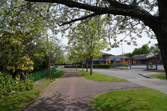
Shenley Lodge is a small residential area located in the county of Buckinghamshire, England. Situated just south of Milton Keynes, it is part of the larger Shenley Brook End district. The area is known for its peaceful and leafy surroundings, making it an attractive place to live for families and professionals alike.
The development of Shenley Lodge began in the 1980s and has since grown to become a thriving community. The houses in Shenley Lodge are predominantly detached and semi-detached properties, offering a range of styles and sizes to suit various needs. Many of the homes boast spacious gardens and ample parking, creating a suburban feel.
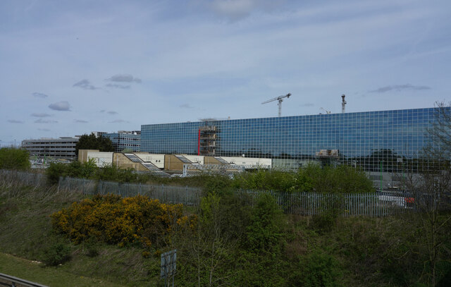
Residents of Shenley Lodge benefit from its convenient location. The nearby Westcroft District Centre provides a range of amenities, including supermarkets, shops, and restaurants. In addition, the area is well-served by public transportation, with regular bus services connecting it to the wider Milton Keynes area.
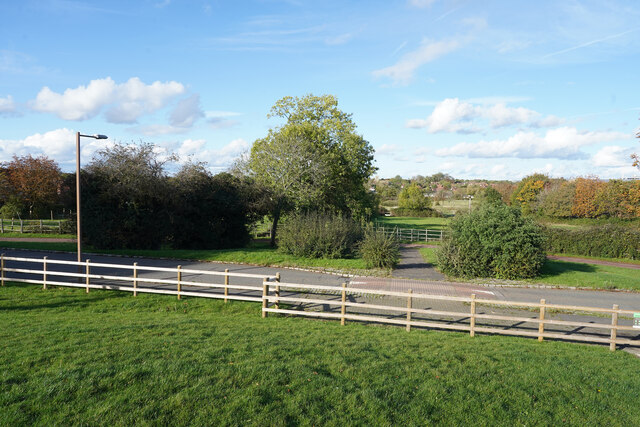
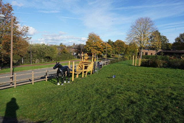
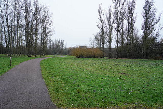
For those seeking outdoor recreation, Shenley Lodge is surrounded by green spaces and parks. Shenley Wood and Tattenhoe Valley Park are within easy reach, offering opportunities for walking, jogging, and picnicking. The area is also close to the beautiful Ouzel Valley Park, which provides scenic trails along the River Ouzel.
Overall, Shenley Lodge offers a peaceful and family-friendly environment with convenient amenities and access to nature. Its proximity to Milton Keynes ensures that residents have access to a wider range of services and entertainment options.
If you have any feedback on the listing, please let us know in the comments section below.
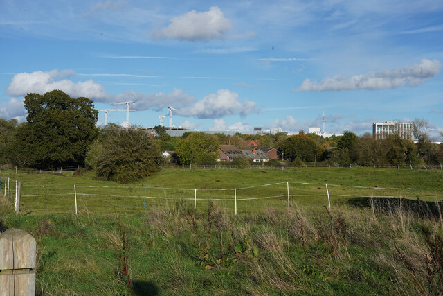
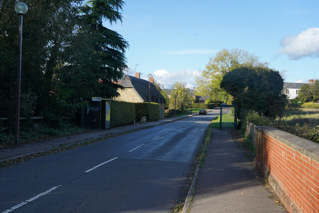
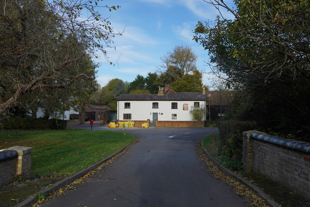
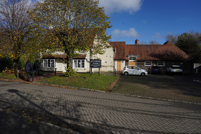
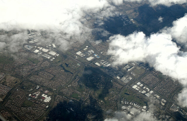
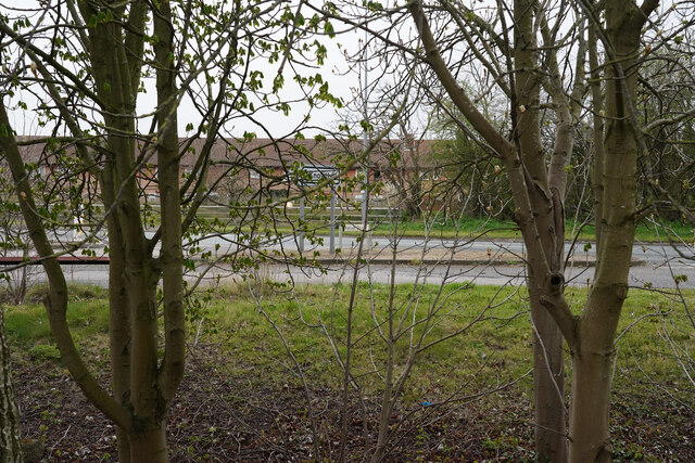
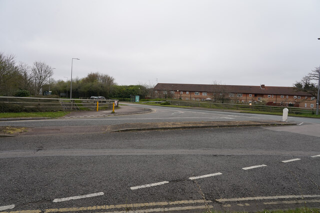
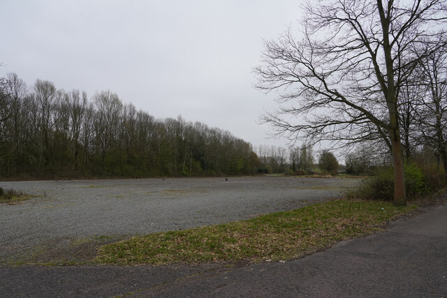
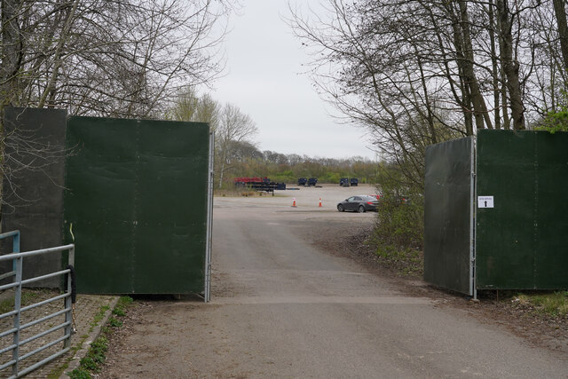
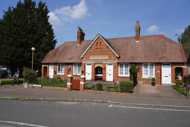
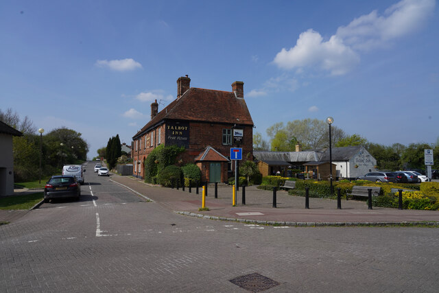
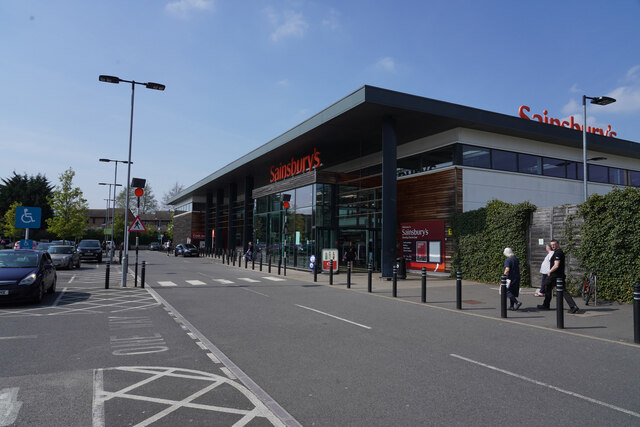
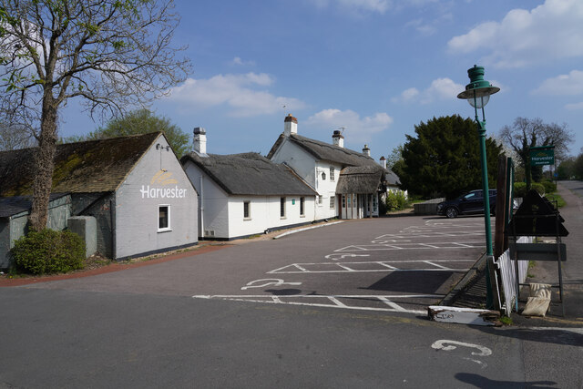
Shenley Lodge Images
Images are sourced within 2km of 52.016845/-0.770531 or Grid Reference SP8436. Thanks to Geograph Open Source API. All images are credited.
Shenley Lodge is located at Grid Ref: SP8436 (Lat: 52.016845, Lng: -0.770531)
Unitary Authority: Milton Keynes
Police Authority: Thames Valley
What 3 Words
///cornfield.mile.cobbles. Near Shenley Church End, Buckinghamshire
Nearby Locations
Related Wikis
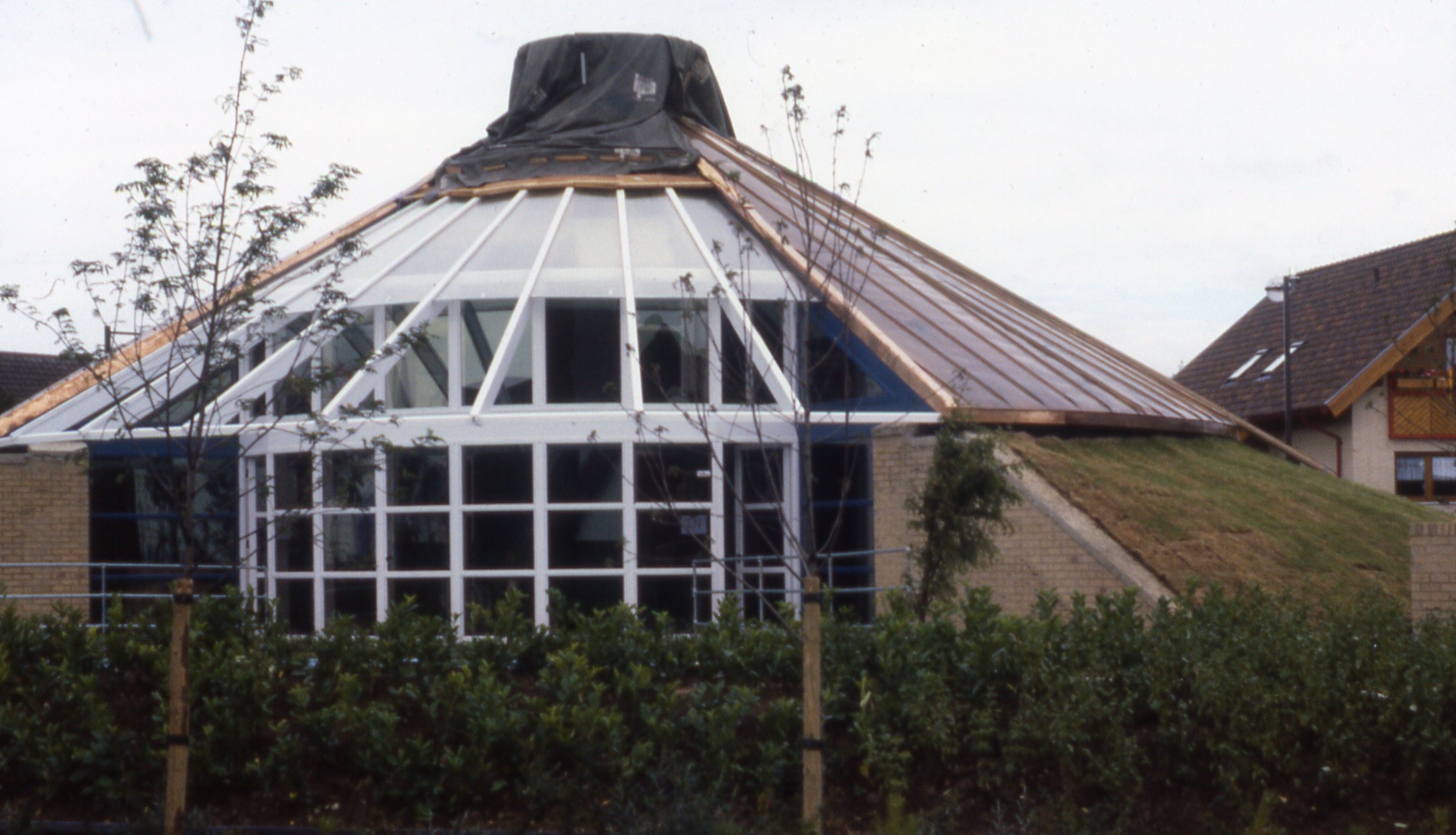
Energy World
Energy World was a demonstration project of 51 low-energy houses constructed in the Shenley Lodge area of Milton Keynes, United Kingdom. The project was...

National Bowl
The National Bowl (originally the Milton Keynes Bowl) is an entertainment venue located in Milton Keynes, Buckinghamshire, England. The site was a former...

Milton Keynes College
Milton Keynes College is a general further education and training college, serving the City of Milton Keynes. It also serves the surrounding areas (northern...

A421 road
The A421 is an important road for east/west journeys across south central England. Together with the A428, the A43 and A34, it forms the route from Cambridge...

Shenley Church End
Shenley Church End is a village, district and wider civil parish in Milton Keynes, Buckinghamshire, England, about 2 miles (3.2 km) south-west of Central...

Furzton
Furzton is a district in south-west Milton Keynes, Buckinghamshire, England and in the civil parish of Shenley Brook End The man-made Furzton Lake is a...

St Mary's Church, Shenley
St. Mary's Church, Shenley is an ecumenical church located in Shenley Church End, Milton Keynes, England. The church now forms part of the Watling Valley...
Shenley Brook End
Shenley Brook End is a village, district and wider civil parish in Milton Keynes, Buckinghamshire, England, located about 2 miles (3.2 km) north-west of...
Nearby Amenities
Located within 500m of 52.016845,-0.770531Have you been to Shenley Lodge?
Leave your review of Shenley Lodge below (or comments, questions and feedback).