Furzton Lake

Settlement in Buckinghamshire

England

Furzton Lake

Robins Hill, Coffee Hall
Robins Hill, Coffee Hall Credit: David Howard

Furzton Lake is a picturesque man-made lake located in the town of Furzton, Buckinghamshire, England. It covers an area of approximately 35 hectares and was created in the 1970s as part of the Milton Keynes development project. The lake was designed to provide a recreational space for the local community and enhance the natural environment.

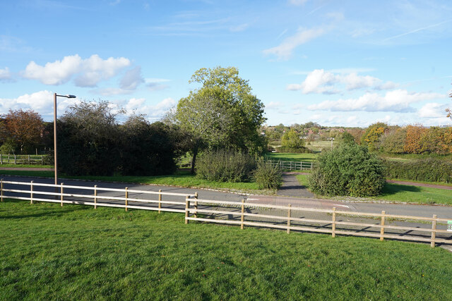
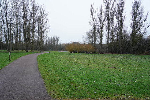
Surrounded by lush greenery and scenic walking paths, Furzton Lake offers a tranquil escape from the hustle and bustle of daily life. The lake itself is home to a variety of wildlife, including ducks, swans, and geese, making it a popular spot for birdwatchers and nature enthusiasts.

The lake boasts several amenities for visitors to enjoy. There is a large car park with ample space for visitors, as well as picnic areas and benches dotted along the shoreline, providing the perfect setting for a leisurely picnic or a peaceful afternoon in the sun. Additionally, there are designated fishing areas for anglers to try their luck at catching carp, bream, and tench.

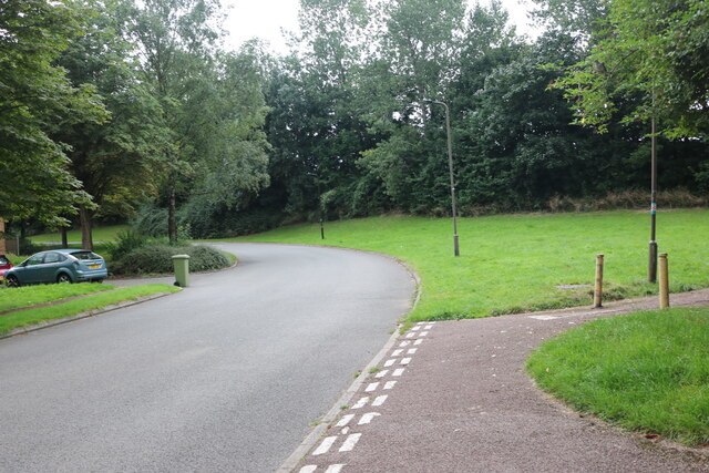
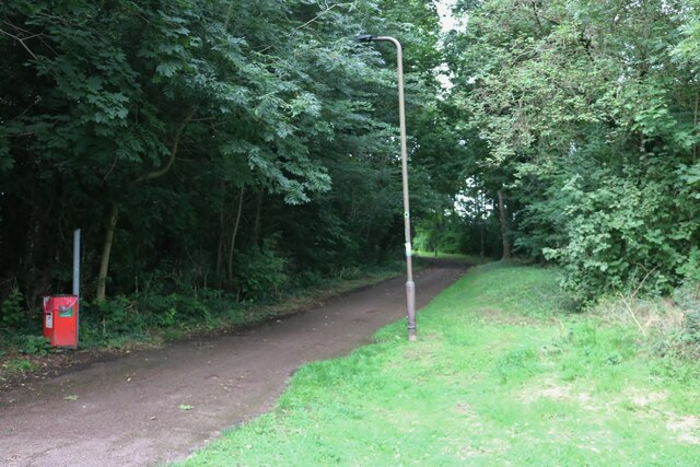
For those seeking more active pursuits, Furzton Lake offers a wide range of watersports, including sailing, windsurfing, and kayaking. There is a dedicated watersports center on-site, where visitors can rent equipment or book lessons to explore the lake's waters. The lake also has a circular footpath that spans approximately 2.5 miles, providing a scenic route for walkers, joggers, and cyclists.

Overall, Furzton Lake is a charming and versatile destination that caters to both nature lovers and those seeking recreational activities. Its serene ambiance and abundance of amenities make it a beloved local attraction in Buckinghamshire.

If you have any feedback on the listing, please let us know in the comments section below.
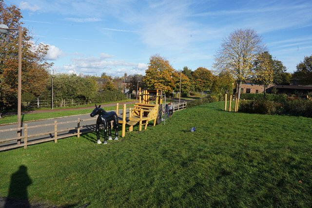
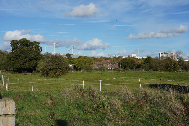
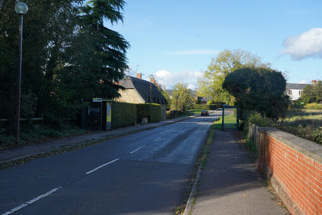
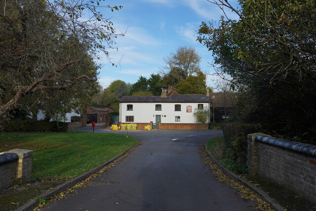
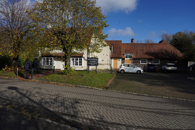
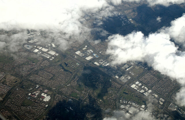
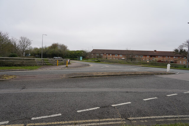
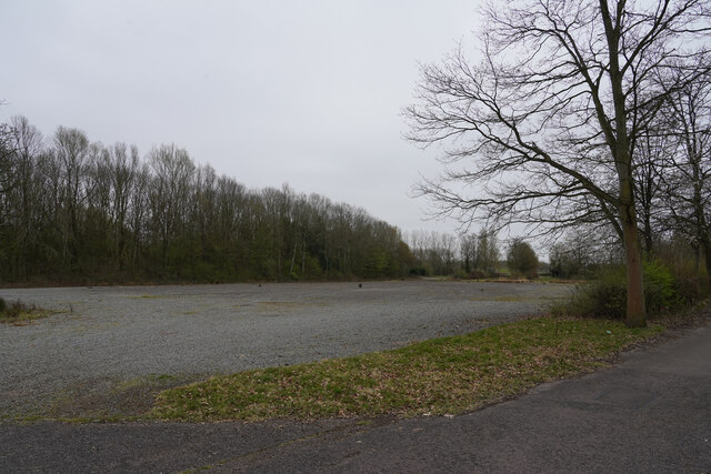
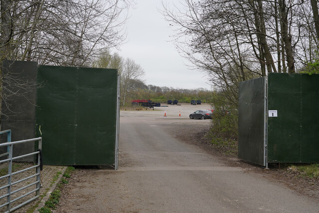
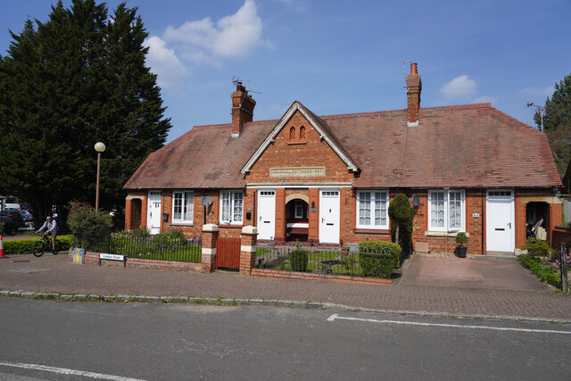
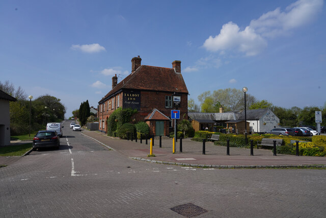
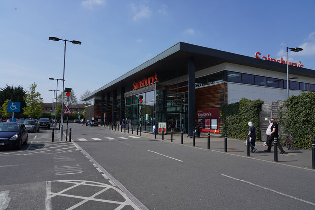
Furzton Lake Images

Images are sourced within 2km of 52.018756/-0.76702176 or Grid Reference SP8436. Thanks to Geograph Open Source API. All images are credited.

Robins Hill, Coffee Hall
Robins Hill at the junction of Saxon Street
Path by Saxon Street, Coffee Hall
Looking across Ashpole Furlong Standing in the small children's playground looking across the appropriately named road near the equestrian centre.
Looking across Ashpole Furlong
Standing in the small children's playground looking across the appropriately named road near the equestrian centre.
The horse themed climbing frame This is one of the children's toys in the small playground near Ashpole Furlong.
The horse themed climbing frame
This is one of the children's toys in the small playground near Ashpole Furlong.
Distant development Looking across the fields next to Whitworth Lane towards the distant tower cranes.
Distant development
Looking across the fields next to Whitworth Lane towards the distant tower cranes.
Bradwell Road Looking along Bradwell Road on a bright sunny afternoon, much improved from the heavy rain of this morning when we were further north.
Bradwell Road
Looking along Bradwell Road on a bright sunny afternoon, much improved from the heavy rain of this morning when we were further north.
The Wheatsheaf The former public house "The Wheatsheaf" is now a private residential property which may still be undergoing some renovation, judging from the builders materials in bags outside the house.
The Wheatsheaf
The former public house "The Wheatsheaf" is now a private residential property which may still be undergoing some renovation, judging from the builders materials in bags outside the house.
The Old Beams Looking from the car park to the Old Beams Restaurant, the entrance of which is to the left of the white building.
The Old Beams
Looking from the car park to the Old Beams Restaurant, the entrance of which is to the left of the white building.
A path by the Teardrop Lakes There is a series of four lakes called the Teardrop Lakes in Milton Keynes. This is just one of the paths in the area.
A path by the Teardrop Lakes
There is a series of four lakes called the Teardrop Lakes in Milton Keynes. This is just one of the paths in the area.
Milton Keynes from the air Looking north over Knowhill to the city centre from a Birmingham bound flight from Prague.
Milton Keynes from the air
Looking north over Knowhill to the city centre from a Birmingham bound flight from Prague.
Trees by Kelvin Drive Scrubby trees by the junction of Watling Street and Kelvin Drive.
Trees by Kelvin Drive
Scrubby trees by the junction of Watling Street and Kelvin Drive.
Looking across Watling Street On a dull misty day we had a short walk along the side of Watling Street.
Looking across Watling Street
On a dull misty day we had a short walk along the side of Watling Street.
Is this an old car park? Our walk has taken us close to the National Bowl and what might have been one of the car parks.
Is this an old car park?
Our walk has taken us close to the National Bowl and what might have been one of the car parks.
More trailers than cars There was a security man behind us though I don't know quite what he was there for, as the only vehicles in the car park were a couple of cars and many empty lorry trailers.
More trailers than cars
There was a security man behind us though I don't know quite what he was there for, as the only vehicles in the car park were a couple of cars and many empty lorry trailers.
Memorial Cottages The cottages have a date of 1897 above the door. They were built to commemorate the 60th jubilee of Queen Victoria's time on the throne.
Memorial Cottages
The cottages have a date of 1897 above the door. They were built to commemorate the 60th jubilee of Queen Victoria's time on the throne.
The Talbot Arms This is a fairly large public house with what appears to be a lot of space around it.
The Talbot Arms
This is a fairly large public house with what appears to be a lot of space around it.
Sainsbury's Supermarket A fairly modern building which for modern standards is quite a small supermarket. It was, however, very busy.
Sainsbury's Supermarket
A fairly modern building which for modern standards is quite a small supermarket. It was, however, very busy.
Show me another place!

Furzton Lake is located at Grid Ref: SP8436 (Lat: 52.018756, Lng: -0.76702176)

Unitary Authority: Milton Keynes

Police Authority: Thames Valley

What 3 Words

///budgeted.digitally.structure. Near Shenley Church End, Buckinghamshire

Related Wikis

Nearby Amenities

Located within 500m of 52.018756,-0.76702176
Traffic Calming: table
Lat/Long: 52.0163555/-0.7698494
Sundial
Comment: This was part of the Energy World Exhibition.in 1986 by Milton Keynes Development Coporation
Historic: monument
Monument: mile_post
Lat/Long: 52.0196812/-0.7715144
Bus Stop
The Bowl Roundabout South
Bus: yes
Naptan AtcoCode: 049004215182
Naptan Bearing: SE
Naptan CommonName: The Bowl Roundabout South
Naptan Indicator: o/s
Naptan Landmark: Milton Keynes National Bowl
Naptan NaptanCode: mltdtwa
Naptan PlusbusZoneRef: MKNSCEN
Naptan Street: Watling Street V4
Naptan Verified: no
Public Transport: platform
Shelter: yes
Source: GPS Survey;naptan_import
Lat/Long: 52.0182976/-0.7657517
Bus Stop
The Bowl Roundabout South
Bus: yes
Naptan AtcoCode: 049004215183
Naptan Bearing: NW
Naptan CommonName: The Bowl Roundabout South
Naptan Indicator: opp
Naptan Landmark: Milton Keynes National Bowl
Naptan NaptanCode: mltdtwd
Naptan PlusbusZoneRef: MKNSCEN
Naptan Street: Watling Street V4
Naptan Verified: no
Public Transport: platform
Shelter: yes
Source: GPS Survey;naptan_import
Lat/Long: 52.0182011/-0.7658226
Post Box
Brand: Royal Mail
Brand Wikidata: Q638098
Brand Wikipedia: en:Royal Mail
Collection Times: Mo-Fr 17:45
Note: Franked mail only
Operator: Royal Mail
Operator Wikidata: Q638098
Post Box Type: pillar
Ref: MK5 629
Royal Cypher: EIIR
Royal Cypher Wikidata: Q33102113
Source: survey
Lat/Long: 52.0221496/-0.7670032
Traffic Calming: hump
Lat/Long: 52.0201544/-0.7718431
Kidsplay Activity Land
Addr City: Milton Keynes
Addr Country: GB
Addr Housenumber: 1a
Addr Postcode: MK5 8HL
Addr Street: Roebuck Way
Addr Suburb: Knowlhill
Fhrs Authority: Milton Keynes
Fhrs Id: 984949
Fhrs Local Authority Id: 88210
Tourism: theme_park
Lat/Long: 52.0213052/-0.770691
Bus Stop
Kelvin Drive
Bus: yes
Naptan AtcoCode: 049004205588
Naptan Bearing: SW
Naptan CommonName: Kelvin Drive
Naptan Indicator: o/s
Naptan Landmark: Shenley Lodge Meeting Place
Naptan NaptanCode: mltdtpt
Naptan PlusbusZoneRef: MKNSCEN
Naptan Street: Watling Street V4
Naptan Verified: no
Public Transport: platform
Shelter: yes
Source: naptan_import
Lat/Long: 52.0201138/-0.7701325
Bus Stop
Kelvin Drive
Bus: yes
Naptan AtcoCode: 049004205591
Naptan Bearing: NE
Naptan CommonName: Kelvin Drive
Naptan Indicator: opp
Naptan Landmark: Shenley Lodge Meeting Place
Naptan NaptanCode: mltdtpw
Naptan PlusbusZoneRef: MKNSCEN
Naptan Street: Watling Street V4
Naptan Verified: no
Public Transport: platform
Shelter: yes
Source: naptan_import
Lat/Long: 52.0200497/-0.77031
The Bowl Park & Ride
Naptan AtcoCode: 049004215824
Naptan Bearing: N
Naptan BusStopType: CUS
Naptan CommonName: The Bowl Park & Ride
Naptan Indicator: Milton Keynes Bowl
Naptan Landmark: Milton Keynes Bowl
Naptan NaptanCode: mltdmg
Naptan PlusbusZoneRef: MKNSCEN
Naptan Street: Watling Street
Naptan Verified: no
Source: naptan_import
Lat/Long: 52.0193838/-0.7655876
Parking
Lat/Long: 52.0166502/-0.7731111
Turning Circle
Turning Circle: square
Lat/Long: 52.016951/-0.7732454
Turning Circle
Turning Circle: knuckle
Lat/Long: 52.0171817/-0.7713828
Turning Circle
Turning Circle: square
Lat/Long: 52.0174043/-0.7722907
Mini Roundabout
Direction: clockwise
Lat/Long: 52.0194907/-0.7718651
Turning Circle
Turning Circle: hammer
Lat/Long: 52.0199932/-0.7732915
Turning Circle
Turning Circle: hammer
Lat/Long: 52.0207136/-0.7732305
Post Box
Brand: Royal Mail
Brand Wikidata: Q638098
Brand Wikipedia: en:Royal Mail
Collection Times: Mo-Fr 17:30; Sa 12:00
Operator: Royal Mail
Operator Wikidata: Q638098
Post Box Type: pillar
Ref: MK5 422
Royal Cypher: EIIR
Royal Cypher Wikidata: Q33102113
Source: survey
Lat/Long: 52.0198987/-0.7717565
Bench
Lat/Long: 52.0164999/-0.7684426
Waste Basket
Lat/Long: 52.0161751/-0.7686449
Waste Basket
Lat/Long: 52.0160589/-0.7684815
Bench
Lat/Long: 52.0163393/-0.7682181
Bench
Lat/Long: 52.0163209/-0.7682574
Bench
Lat/Long: 52.0160965/-0.7626112
Bench
Lat/Long: 52.016478/-0.7684867
Bench
Lat/Long: 52.0170511/-0.7650291
Tourism: viewpoint
Lat/Long: 52.0164281/-0.7683654
Communication Mobile Phone: yes
Man Made: mast
Tower Type: communication
Lat/Long: 52.0190668/-0.7676848
Social Facility
Bluebirds Nursing Home
Addr City: Milton Keynes
Addr Country: GB
Addr Postcode: MK5 7FY
Addr Street: Faraday Drive
Addr Suburb: Shenley Lodge
Fhrs Authority: Milton Keynes
Fhrs Id: 131447
Fhrs Local Authority Id: 62963
Social Facility: nursing_home
Lat/Long: 52.01781/-0.7729375
Kindergarten
Shenley Lodge Pre School
Addr City: Milton Keynes
Addr Country: GB
Addr Housenumber: 5
Addr Postcode: MK5 7DE
Addr Street: Faraday Drive
Addr Suburb: Shenley Lodge
Fhrs Authority: Milton Keynes
Fhrs Id: 139014
Fhrs Local Authority Id: 74323
Lat/Long: 52.0199361/-0.7715695
Pharmacy
Jardines (on-line)
Addr City: Milton Keynes
Addr Housename: Lakeside
Addr Postcode: MK4 1GA
Addr Street: Shirwell Crescent
Dispensing: yes
Drive Through: no
Healthcare: pharmacy
Note: On-line orders only from corporate customers (e.g Nursing Homes, Care Homes etc.)
Operator: Jardines (U.K.) Ltd
Lat/Long: 52.0165944/-0.7690316
Portals
Artist Name: Susan Hitching
Artwork Type: sculpture
Start Date: 1985
Tourism: artwork
Lat/Long: 52.014612/-0.7667086
Crossing
Lat/Long: 52.0165683/-0.7688531
Direction: 230
Generator Method: photovoltaic
Generator Output Electricity: yes
Generator Solar Modules: 16
Generator Source: solar
Generator Type: solar_photovoltaic_panel
Location: roof
Power: generator
Lat/Long: 52.0168003/-0.7732961
Direction: 135
Fixme: additional panels certre? thermal?
Generator Method: photovoltaic
Generator Output Electricity: yes
Generator Solar Modules: 12
Generator Source: solar
Generator Type: solar_photovoltaic_panel
Location: roof
Power: generator
Lat/Long: 52.0184694/-0.7715975
Bench
Backrest: yes
Material: wood
Lat/Long: 52.0182215/-0.7732467
Barrier: cycle_barrier
Bicycle: yes
Foot: yes
Motor Vehicle: no
Lat/Long: 52.0194299/-0.7713676
Direction: 145
Generator Method: photovoltaic
Generator Output Electricity: yes
Generator Solar Modules: 10
Generator Source: solar
Generator Type: solar_photovoltaic_panel
Location: roof
Power: generator
Lat/Long: 52.0152986/-0.7714565
Direction: 100
Generator Method: photovoltaic
Generator Output Electricity: yes
Generator Solar Modules: 6
Generator Source: solar
Generator Type: solar_photovoltaic_panel
Location: roof
Power: generator
Lat/Long: 52.015245/-0.771534
Traffic Calming: table
Lat/Long: 52.0157912/-0.7709448
Direction: 230
Generator Method: photovoltaic
Generator Output Electricity: yes
Generator Solar Modules: 12
Generator Source: solar
Generator Type: solar_photovoltaic_panel
Location: roof
Power: generator
Lat/Long: 52.0185812/-0.7721458
Bus Stop
Bus: yes
Public Transport: platform
Shelter: no
Lat/Long: 52.019104/-0.771926
Direction: 180
Fixme: survey for panel count
Generator Method: photovoltaic
Generator Output Electricity: yes
Generator Solar Modules: 16
Generator Source: solar
Generator Type: solar_photovoltaic_panel
Location: roof
Power: generator
Lat/Long: 52.0188359/-0.7716071
Direction: 230
Fixme: survey for panel count
Generator Method: photovoltaic
Generator Output Electricity: yes
Generator Solar Modules: 8
Generator Source: solar
Generator Type: solar_photovoltaic_panel
Location: roof
Power: generator
Lat/Long: 52.0177167/-0.7713286
Direction: 140
Fixme: survey for panel count
Generator Method: photovoltaic
Generator Output Electricity: yes
Generator Solar Modules: 7
Generator Source: solar
Generator Type: solar_photovoltaic_panel
Location: roof
Power: generator
Lat/Long: 52.0177249/-0.7713866
Direction: 270
Fixme: survey for panel count
Generator Method: photovoltaic
Generator Output Electricity: yes
Generator Solar Modules: 16
Generator Source: solar
Generator Type: solar_photovoltaic_panel
Location: roof
Power: generator
Lat/Long: 52.0174166/-0.7725306
Direction: 240
Generator Method: photovoltaic
Generator Output Electricity: yes
Generator Solar Modules: 14
Generator Source: solar
Generator Type: solar_photovoltaic_panel
Location: roof
Power: generator
Lat/Long: 52.0170799/-0.7720489
Turning Circle
Turning Circle: knuckle
Lat/Long: 52.016863/-0.7721087
Direction: 185
Generator Method: photovoltaic
Generator Output Electricity: yes
Generator Solar Modules: 16
Generator Source: solar
Generator Type: solar_photovoltaic_panel
Location: roof
Power: generator
Lat/Long: 52.0190838/-0.77214
Traffic Calming: island
Lat/Long: 52.0204636/-0.7706851
Bus Stop
Bus: yes
Public Transport: platform
Shelter: no
Lat/Long: 52.0195155/-0.7722875
Direction: 185
Fixme: survey for panel coun
Generator Method: photovoltaic
Generator Output Electricity: yes
Generator Solar Modules: 8
Generator Source: solar
Generator Type: solar_photovoltaic_panel
Location: roof
Power: generator
Lat/Long: 52.020555/-0.77236
Fixme: solar panels?
Lat/Long: 52.0205572/-0.7725885
The data included in this document is from www.openstreetmap.org. The data is made available under ODbL.

Have you been to Furzton Lake?

Leave your review of Furzton Lake below (or comments, questions and feedback).