Fustyweed
Settlement in Norfolk Breckland
England
Fustyweed

Fustyweed is a small village located in the county of Norfolk, England. Situated in the eastern part of the country, Fustyweed is nestled amidst picturesque countryside, characterized by rolling hills and lush green fields. The village is situated approximately 10 miles south of the county town of Norwich.
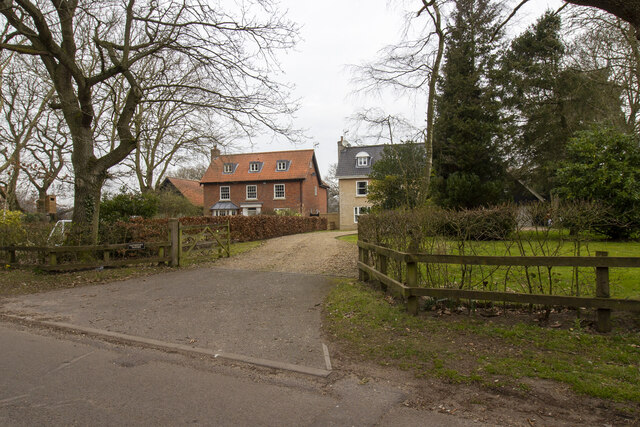
Fustyweed is a quintessential English village, known for its charm and tranquility. With a population of around 500 residents, it offers a close-knit community atmosphere. The village is mainly residential, with traditional cottages and modern houses lining the streets, creating a pleasant and homely ambiance. The architecture reflects the village's rich history, with some buildings dating back several centuries.
The village is surrounded by idyllic natural beauty, making it a haven for nature lovers. There are several walking trails and footpaths that lead to stunning viewpoints, allowing residents and visitors to admire the unspoiled countryside. Fustyweed is also home to a beautiful village green, a central gathering place for community events and festivities.
Despite its small size, Fustyweed boasts a few amenities to cater to its residents' needs. There is a local village shop, providing essential groceries and daily provisions. Additionally, a cozy pub offers a warm and friendly atmosphere for locals and visitors alike to enjoy a drink and a meal.
Overall, Fustyweed is a charming village that encapsulates the essence of rural Norfolk. Its peaceful ambiance, natural beauty, and sense of community make it an attractive place to live or visit for those seeking a slower pace of life.
If you have any feedback on the listing, please let us know in the comments section below.
Fustyweed Images
Images are sourced within 2km of 52.721529/1.0434757 or Grid Reference TG0518. Thanks to Geograph Open Source API. All images are credited.


Fustyweed is located at Grid Ref: TG0518 (Lat: 52.721529, Lng: 1.0434757)
Administrative County: Norfolk
District: Breckland
Police Authority: Norfolk
What 3 Words
///suiting.inches.enlarge. Near Reepham, Norfolk
Nearby Locations
Related Wikis

Lyng, Norfolk
Lyng is a village and civil parish in the English county of Norfolk. It is situated on the River Wensum, some 10 km (6.2 mi) north-east of the town of...
Elsing
Elsing is a village and civil parish in the English county of Norfolk. The village is located 4.2 miles (6.8 km) north-east of Dereham and 12 miles (19...
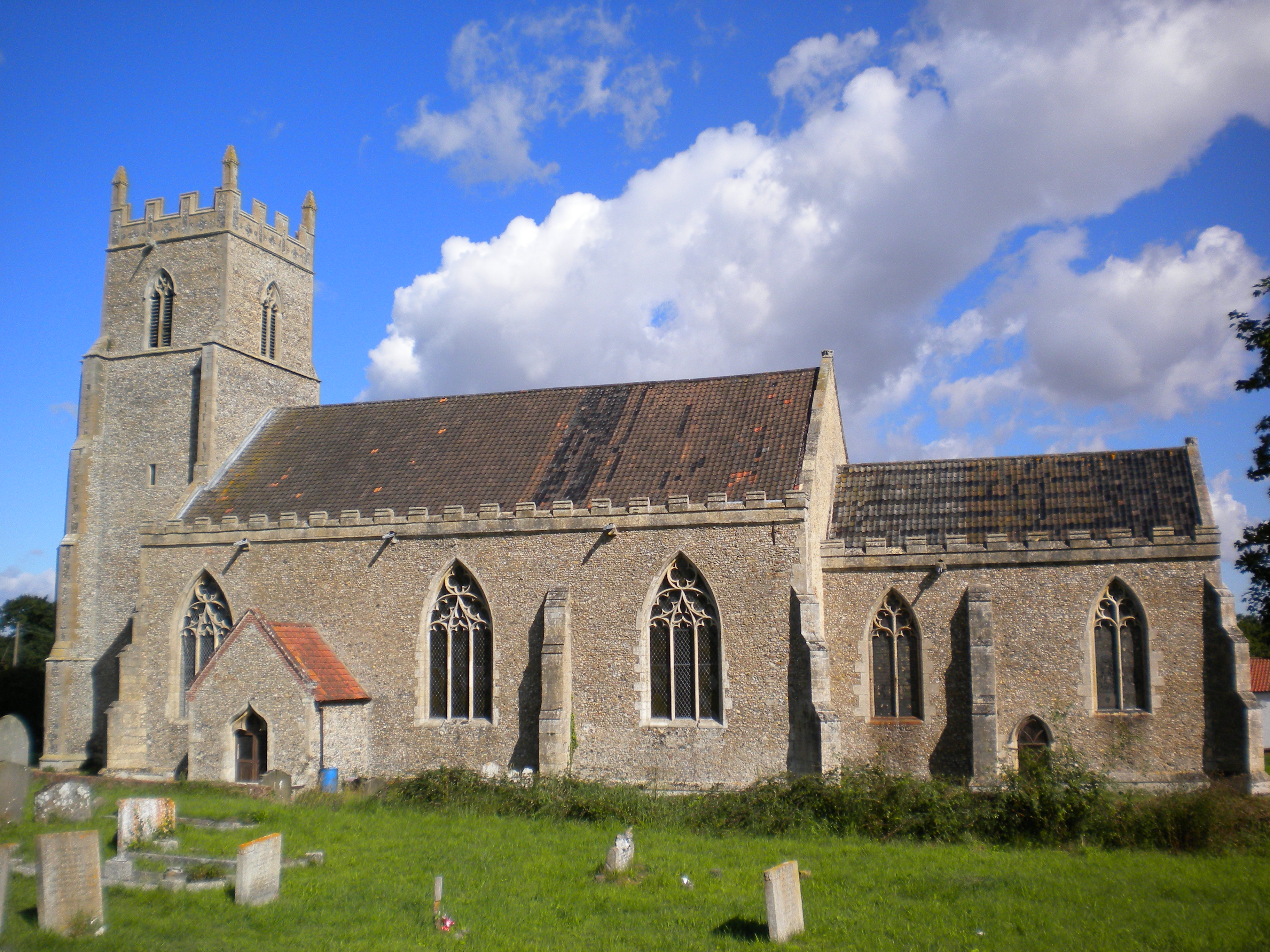
St Mary's Church, Elsing
St Mary's is an Anglican parish church in Elsing, a small village and civil parish in the Breckland district of Norfolk, England. The 14th-century church...

Sparham Pools
Sparham Pools is a 12.2-hectare (30-acre) nature reserve south of Sparham in Norfolk. It is leased and managed by the Norfolk Wildlife Trust.These former...
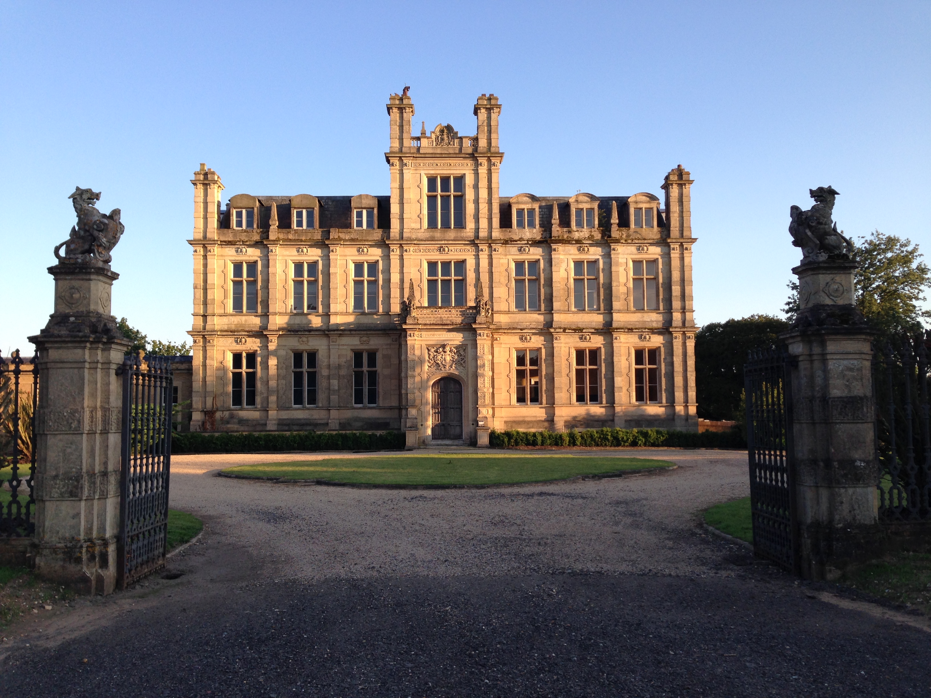
Bylaugh Hall
Bylaugh Hall, also known as Bylaugh Park, is a country house situated in the parish of Bylaugh in Norfolk, England. == History == The estate was acquired...

Sparham
Sparham is a village and civil parish in Norfolk, England. It covers an area of 7.22 km2 (2.79 sq mi) and had a population of 291 in 109 households at...

A1067 road
The A1067 is an English A road entirely in the county of Norfolk. It runs from Fakenham Northern By-Pass (A148) to Norwich inner ring road (A147). �...

Bylaugh
Bylaugh is a civil parish in Norfolk, England 4.5 miles (7.2 km) north-east of East Dereham and 13.5 miles (21.7 km) WNW of Norwich. For the purposes...
Nearby Amenities
Located within 500m of 52.721529,1.0434757Have you been to Fustyweed?
Leave your review of Fustyweed below (or comments, questions and feedback).