Shenley Fields
Settlement in Worcestershire
England
Shenley Fields

The requested URL returned error: 429 Too Many Requests
If you have any feedback on the listing, please let us know in the comments section below.
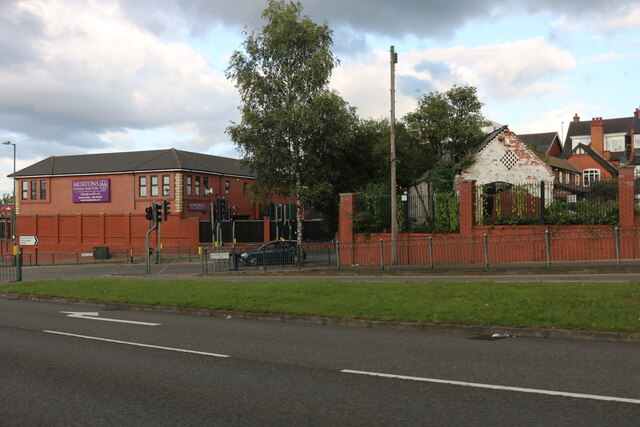
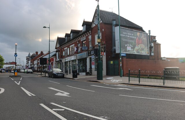
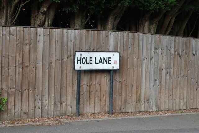
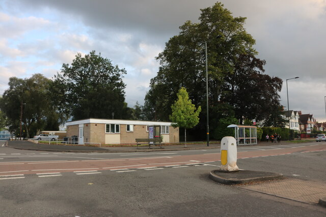
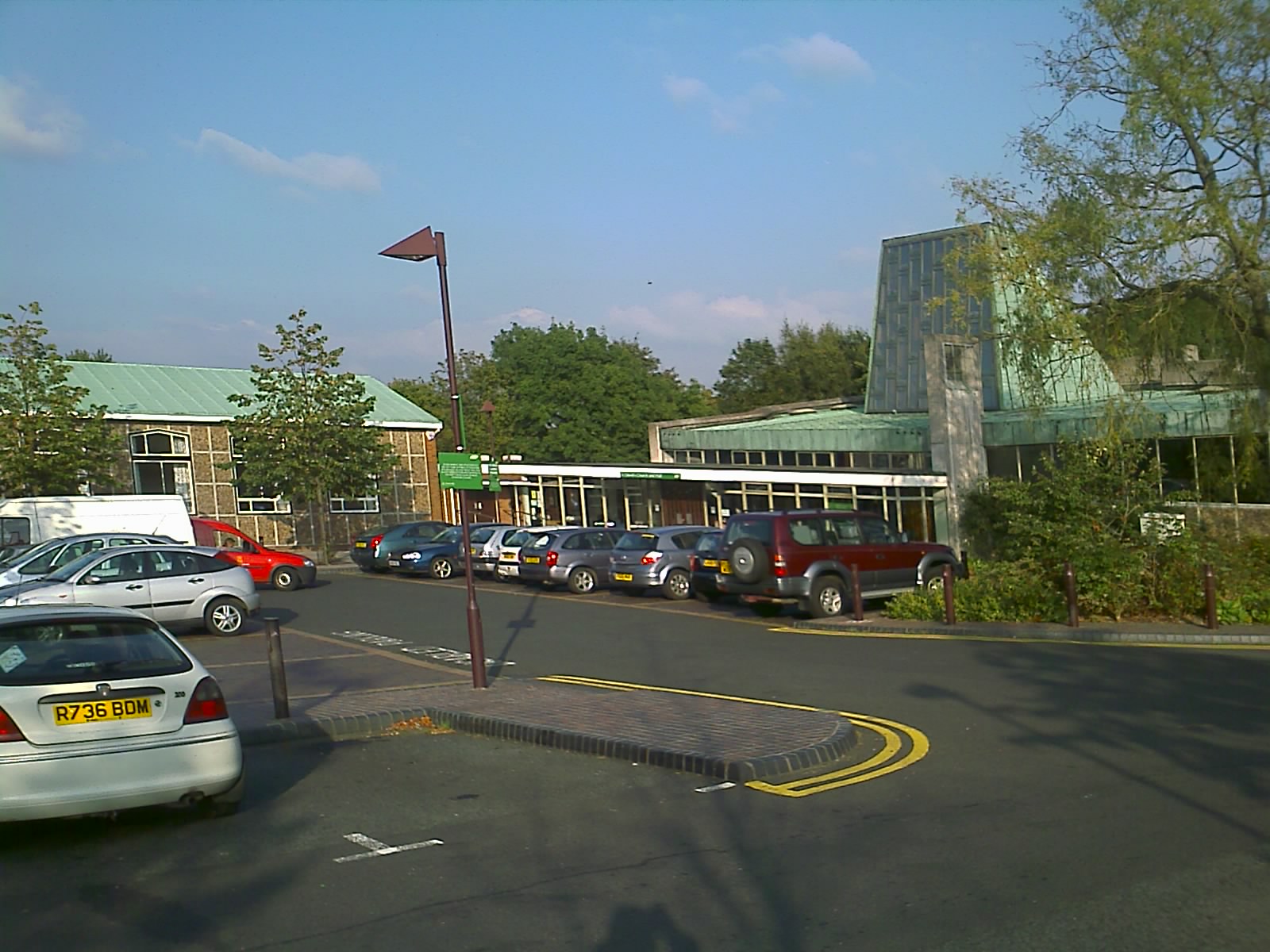
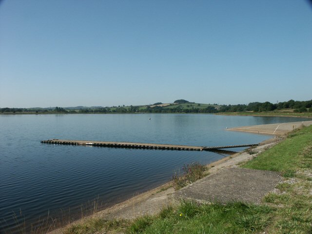
Shenley Fields Images
Images are sourced within 2km of 52.426682/-1.977172 or Grid Reference SP0180. Thanks to Geograph Open Source API. All images are credited.


Shenley Fields is located at Grid Ref: SP0180 (Lat: 52.426682, Lng: -1.977172)
Unitary Authority: Birmingham
Police Authority: West Midlands
What 3 Words
///grant.string.actor. Near Bartley Green, West Midlands
Nearby Locations
Related Wikis
Shenley Green
Shenley Green is an area of Birmingham. It is located in the south-west of the city, between Weoley Castle and Northfield. Shenley Green was a post war...

Shenley Academy
Shenley Academy (formerly known as Shenley Court Specialist Arts College) is a mixed secondary school and sixth form located in the Weoley Castle area...
St David's Church, Shenley Green
St David's Church, Shenley Green is a parish church of the Church of England located in Shenley Green, Birmingham. == History == Until 1970 services were...
Bartley Green
Bartley Green is a residential suburban area and electoral ward in Birmingham, England, 5 miles (8 km) south west of the city centre. The ward is part...
Nearby Amenities
Located within 500m of 52.426682,-1.977172Have you been to Shenley Fields?
Leave your review of Shenley Fields below (or comments, questions and feedback).