Blair Atholl
Settlement in Perthshire
Scotland
Blair Atholl
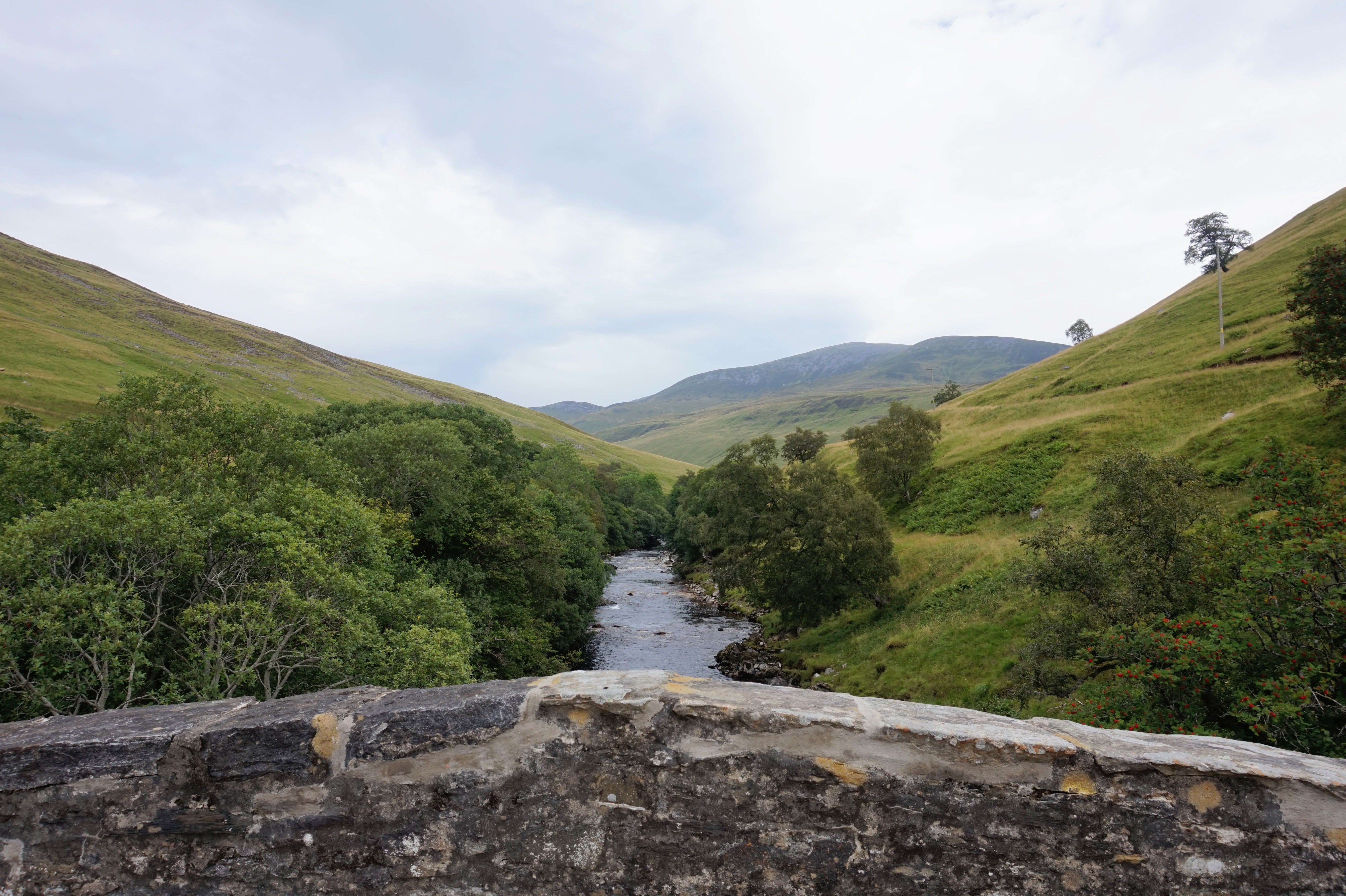
Blair Atholl is a picturesque village located in the county of Perthshire, Scotland. Situated on the banks of the River Garry, it is nestled within the stunning Cairngorms National Park, offering breathtaking natural beauty and a tranquil atmosphere.
The village is best known for its iconic Blair Castle, a historic landmark dating back to the 13th century. This magnificent castle is one of Scotland's most renowned and well-preserved buildings, boasting a rich history and serving as the ancestral home of the Clan Murray. Visitors can explore the castle's opulent rooms, admire its extensive collections of art and artifacts, and even witness daily traditional Scottish piper performances.
Surrounded by rolling hills and lush greenery, Blair Atholl offers a multitude of outdoor activities for nature enthusiasts. The surrounding landscape is perfect for hiking, with various trails catering to different levels of difficulty. Beinn a' Ghlo, one of Scotland's most accessible Munros (mountains over 3,000 feet), is a popular destination for experienced climbers. The area is also a haven for wildlife, allowing visitors to spot red deer, golden eagles, and even the elusive Scottish wildcat.
The village itself offers a range of amenities for tourists, including quaint shops, cozy cafes, and traditional Scottish pubs. The Atholl Country Life Museum provides insights into the local history and culture, while the nearby Blair Atholl Distillery offers guided tours and the chance to sample fine Scotch whisky.
Blair Atholl is easily accessible, located just off the A9 road and served by a train station on the Highland Main Line. With its captivating scenery, historical sites, and outdoor pursuits, Blair Atholl is a must-visit destination for those seeking an authentic Scottish experience.
If you have any feedback on the listing, please let us know in the comments section below.
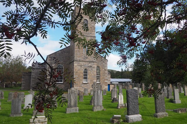
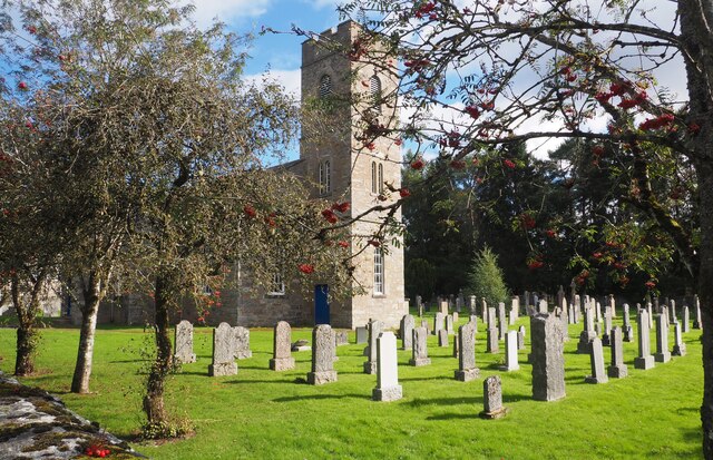
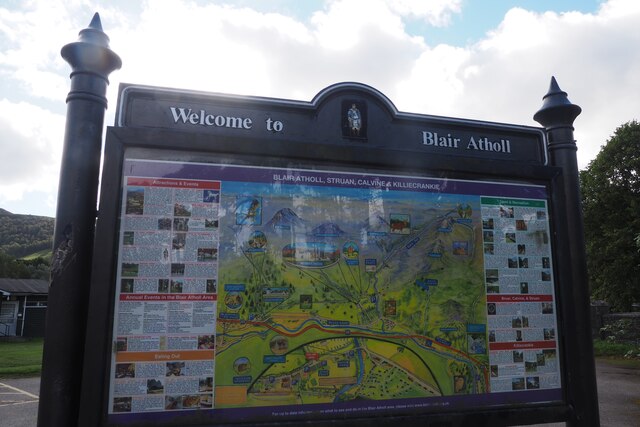
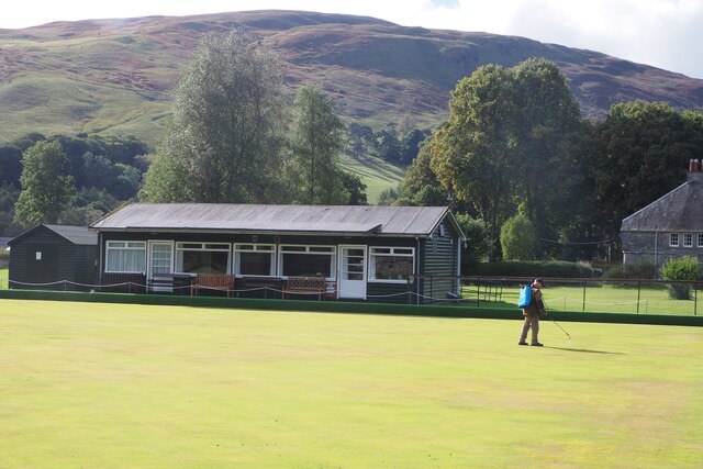
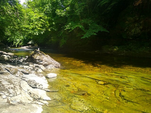
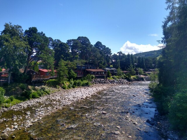
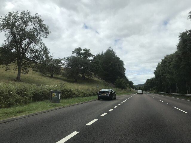
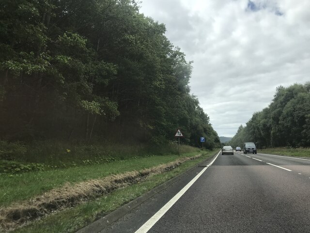
Blair Atholl Images
Images are sourced within 2km of 56.766099/-3.848052 or Grid Reference NN8765. Thanks to Geograph Open Source API. All images are credited.


Blair Atholl is located at Grid Ref: NN8765 (Lat: 56.766099, Lng: -3.848052)
Unitary Authority: Perth and Kinross
Police Authority: Tayside
What 3 Words
///lecturing.replenish.blazers. Near Blair Atholl, Perth & Kinross
Nearby Locations
Related Wikis

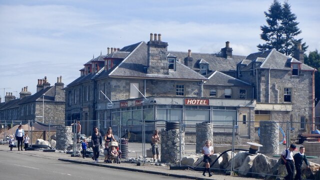
Atholl Arms Hotel, Blair Atholl
The Atholl Arms Hotel is a hotel and restaurant in Blair Atholl, Perth and Kinross, Scotland. Standing on the B8079, it is a Category C listed building...
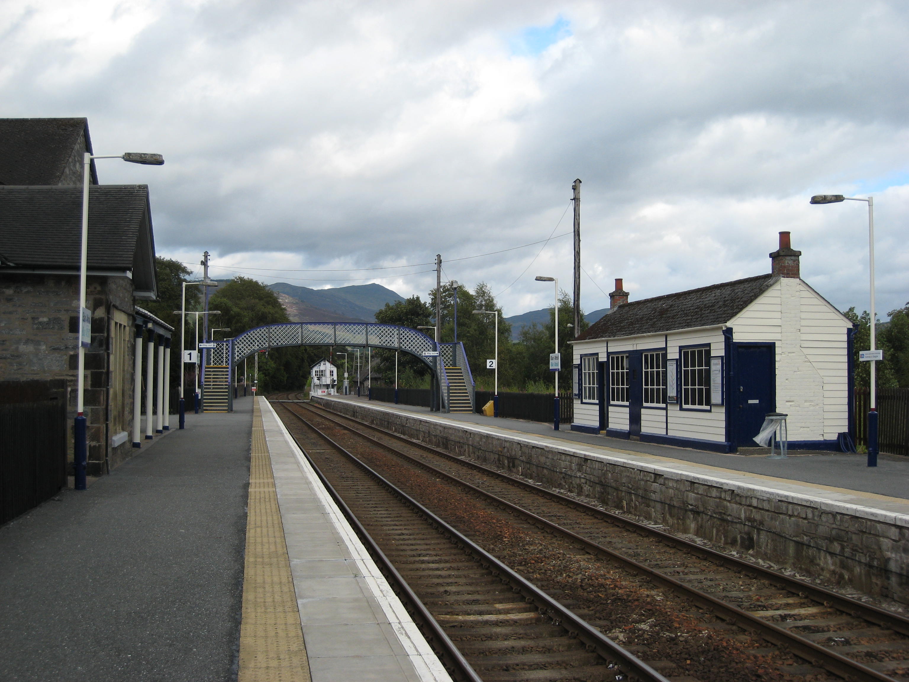
Blair Atholl railway station
Blair Atholl railway station is a railway station serving the town of Blair Atholl, Perth and Kinross, Scotland. The station is managed by ScotRail and...

Blair Atholl Watermill
Blair Atholl Watermill is Scotland's oldest working watermill, located in Blair Atholl, Perth and Kinross, and dating to around 1830. There has been a...
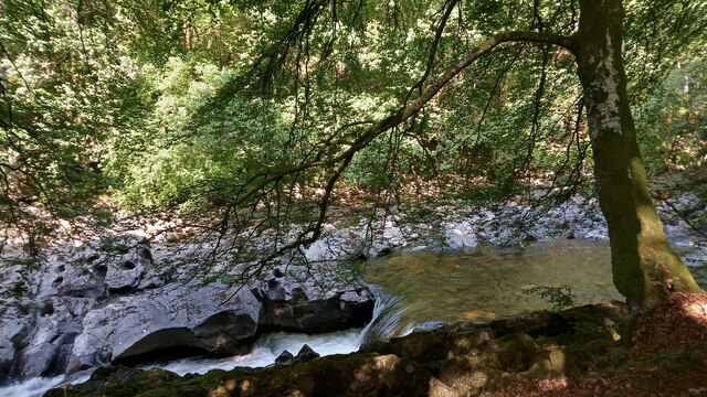
River Tilt
The River Tilt is a tributary of the River Garry in Perth and Kinross, Scotland. It is sourced from the confluence of Tarf Water and the Allt Garbh Buidhe...
Nearby Amenities
Located within 500m of 56.766099,-3.848052Have you been to Blair Atholl?
Leave your review of Blair Atholl below (or comments, questions and feedback).