Blair Drummond
Settlement in Perthshire
Scotland
Blair Drummond
![Road junction at Blair Drummond Kirk Lane [B8075] from Gargunnock approaches the A84 Stirling to Callander road. On the right is the exit-slip from the westward A84](https://s0.geograph.org.uk/geophotos/06/93/18/6931828_0e377759.jpg)
Blair Drummond is a charming village located in the county of Perthshire, Scotland. Situated approximately 5 miles west of Stirling, it is nestled amidst stunning countryside and offers a peaceful retreat away from the hustle and bustle of city life.
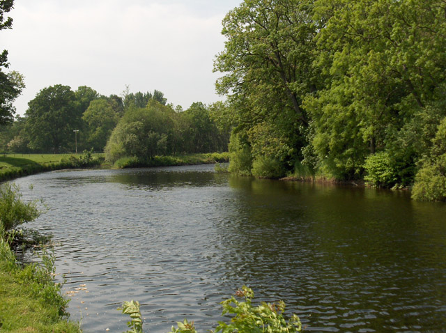
The village is known for its picturesque surroundings, with rolling hills, lush green fields, and the sparkling waters of the River Teith flowing nearby. It is an idyllic location for nature lovers, offering an abundance of walking trails and cycling routes to explore the surrounding landscape.
Blair Drummond is also home to the renowned Blair Drummond Safari Park, a major attraction in the area. Visitors can embark on an exciting safari adventure, where they can encounter a wide range of exotic animals, including lions, tigers, elephants, and giraffes. The park also features a variety of other activities, such as sea lion shows, bird of prey displays, and a large adventure playground for children.
In addition to the safari park, Blair Drummond boasts a rich history. The village is home to Blair Drummond Castle, an impressive stately home that dates back to the 15th century. The castle is surrounded by beautifully landscaped gardens, offering visitors a glimpse into the area's past.
Blair Drummond is a peaceful and picturesque village, offering a unique blend of natural beauty, wildlife encounters, and historical attractions. Whether exploring the safari park or taking a leisurely stroll through the countryside, visitors are sure to be captivated by the charm and tranquility of this delightful Perthshire village.
If you have any feedback on the listing, please let us know in the comments section below.
Blair Drummond Images
Images are sourced within 2km of 56.157706/-4.0463314 or Grid Reference NS7398. Thanks to Geograph Open Source API. All images are credited.
![The road to Gargunnock Kirk Lane [B8075] heads south from the A84 at Blait Drummond.](https://s0.geograph.org.uk/geophotos/06/93/18/6931836_99a20dc6.jpg)


Blair Drummond is located at Grid Ref: NS7398 (Lat: 56.157706, Lng: -4.0463314)
Unitary Authority: Stirling
Police Authority: Forth Valley
What 3 Words
///fools.prongs.home. Near Doune, Stirling
Nearby Locations
Related Wikis

Blair Drummond Safari Park
Blair Drummond Safari Park is a family visitor attraction located near Stirling in Scotland. It opened to the public on 15 May 1970 and is home to over...
Kincardine-in-Menteith
Kincardine is a civil parish in the Scottish council area of Stirling and the former county of Perthshire in the historic district of Menteith. It lies...
Blair Drummond
Blair Drummond is a small rural community 5 miles (8 kilometres) northwest of Stirling in the Stirling district of Scotland, predominantly located along...

Stirling torcs
The Stirling torcs make up a hoard of four gold Iron Age torcs, a type of necklace, all of which date to between 300 and 100 BC and which were buried deliberately...

Menteith
Menteith or Monteith (Scottish Gaelic: Mòine Tèadhaich), a district of south Perthshire, Scotland, roughly comprises the territory between the Teith and...

Ardoch Burn
The Ardoch Burn is a stream in Stirling council area, Scotland, which flows from the Braes Of Doune into the River Teith at Inverardoch, just behind Doune...
Hill of Row
The Hill of Row (Scottish Gaelic: Cnoc Nan Rhu; Scots: Hill o Rou) is the high ground south east of Doune in Stirlingshire. == Etymology == The word Row...
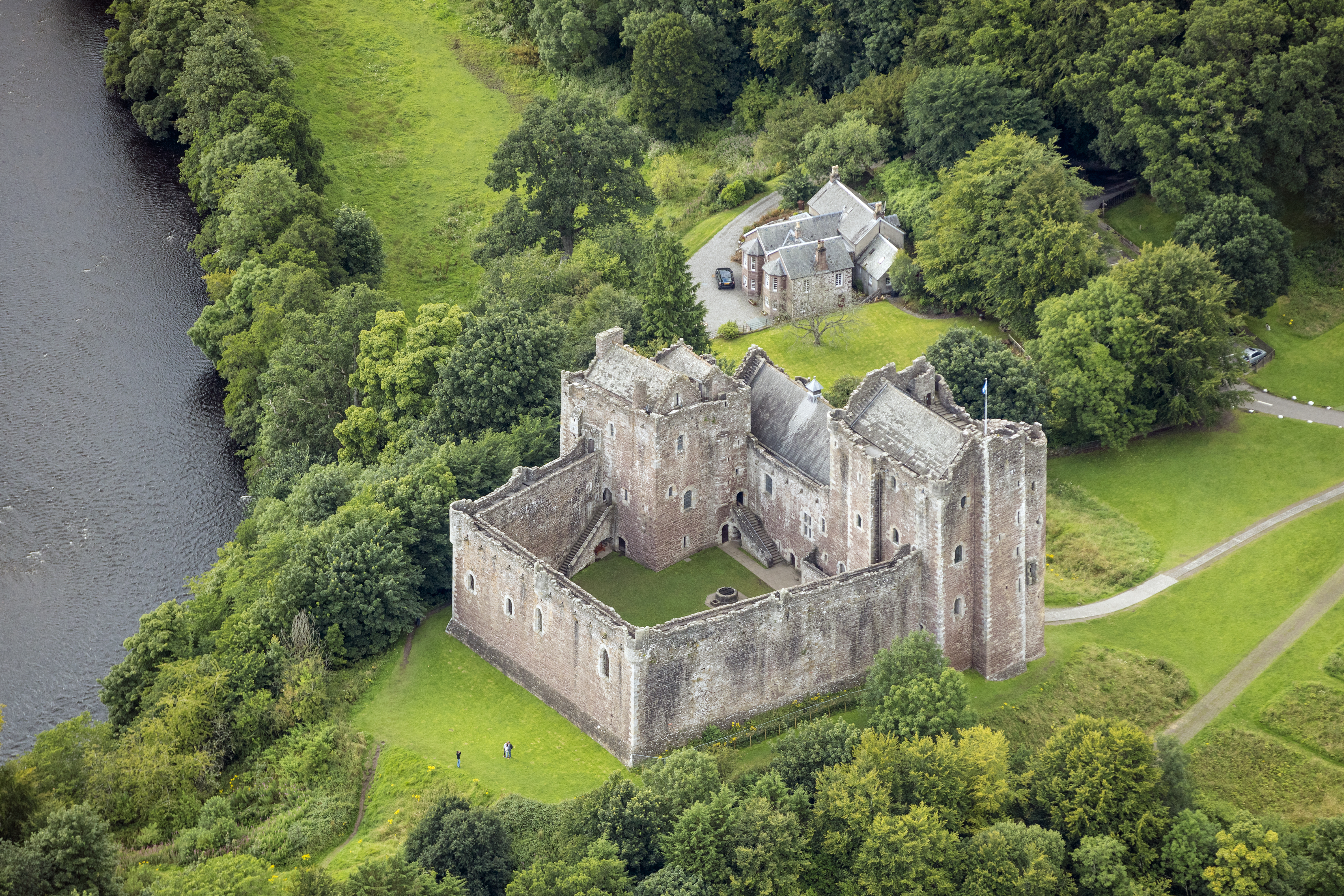
Doune Castle
Doune Castle is a medieval stronghold near the village of Doune, in the Stirling council area of central Scotland and the historic county of Perthshire...
Nearby Amenities
Located within 500m of 56.157706,-4.0463314Have you been to Blair Drummond?
Leave your review of Blair Drummond below (or comments, questions and feedback).