Blair
Settlement in Fife
Scotland
Blair

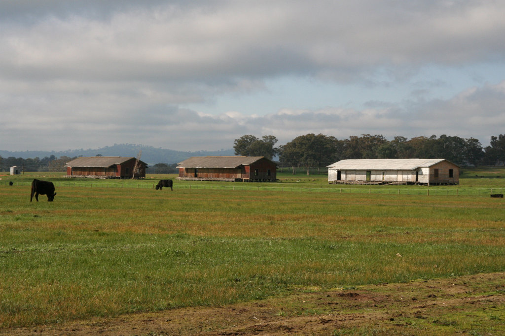
Blair is a small town located in the county of Fife, Scotland. Situated on the southern banks of the River Tay, Blair is nestled between the towns of Perth and Dundee. With a population of approximately 2,000 residents, Blair is a close-knit community known for its picturesque surroundings and historical significance.
The town boasts a rich heritage, dating back to medieval times. Blair Castle, a stunning example of Scottish baronial architecture, stands as a prominent landmark in the area. Built in the 13th century, the castle offers visitors a glimpse into the past, with its opulent interiors and extensive grounds.
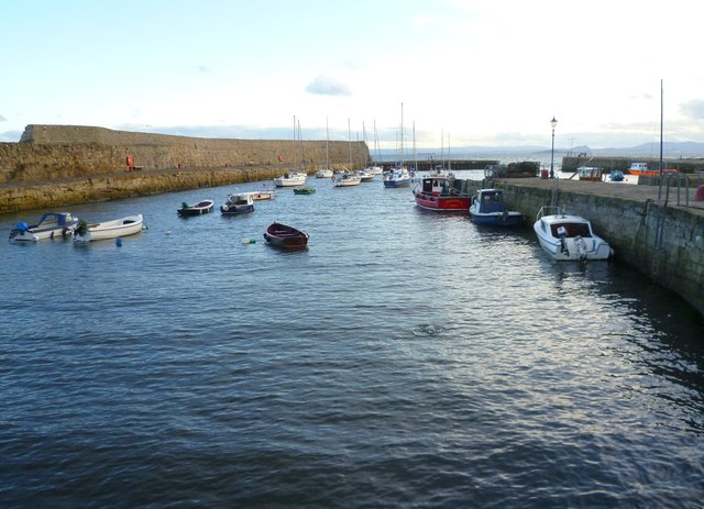
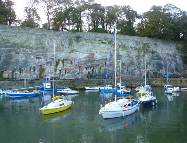
Blair is also renowned for its natural beauty, with the nearby Sidlaw Hills providing a stunning backdrop to the town. The surrounding countryside offers ample opportunities for outdoor activities such as hiking, cycling, and wildlife spotting. The River Tay, which flows through Blair, is a popular spot for fishing enthusiasts.
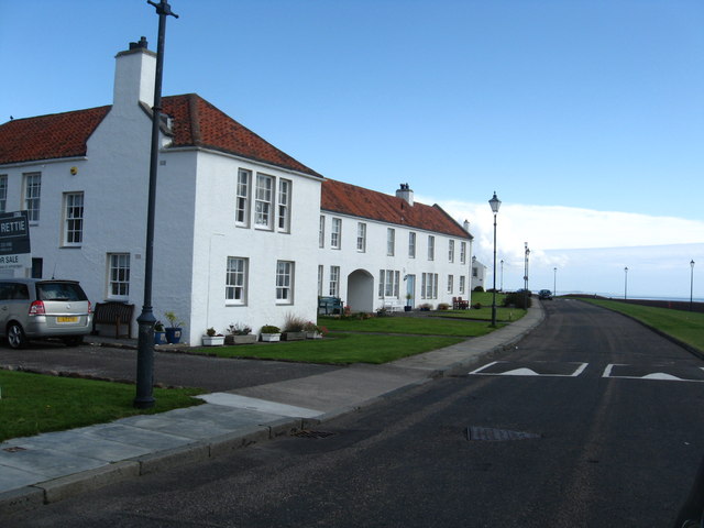
Despite its small size, Blair has a thriving community, with a range of local amenities and services. The town center features a variety of shops, cafes, and restaurants, providing residents with convenient access to everyday essentials. Additionally, Blair is well-connected to neighboring towns and cities, with regular bus services and a nearby train station.
Overall, Blair, Fife, is a charming town that combines historical charm with natural beauty. Its close community and convenient location make it an attractive place to live or visit for those seeking a peaceful and picturesque Scottish experience.
If you have any feedback on the listing, please let us know in the comments section below.
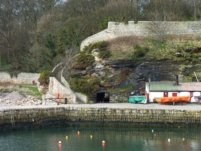
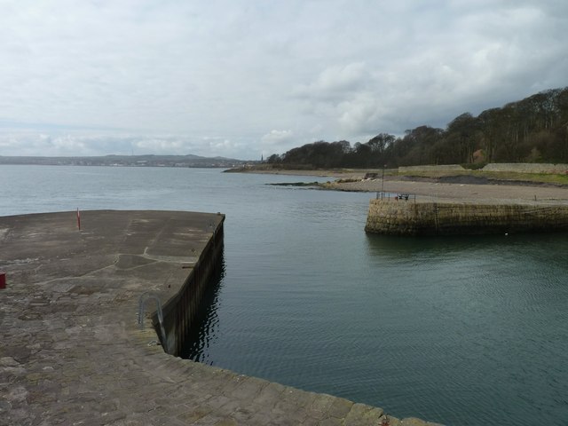
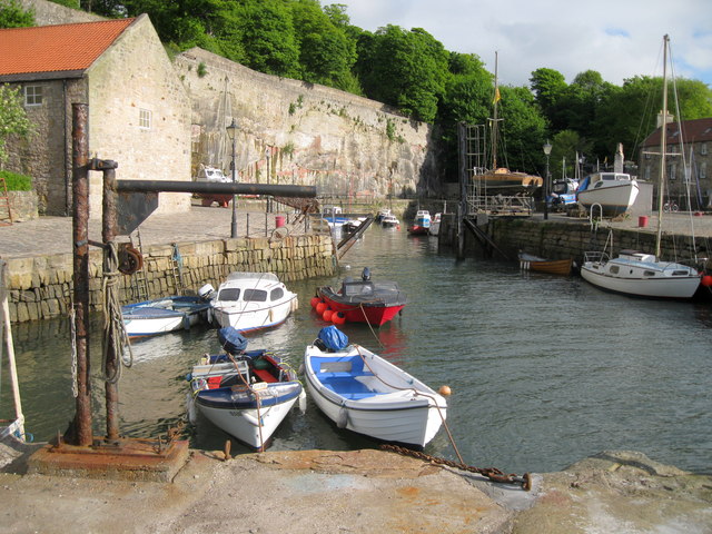
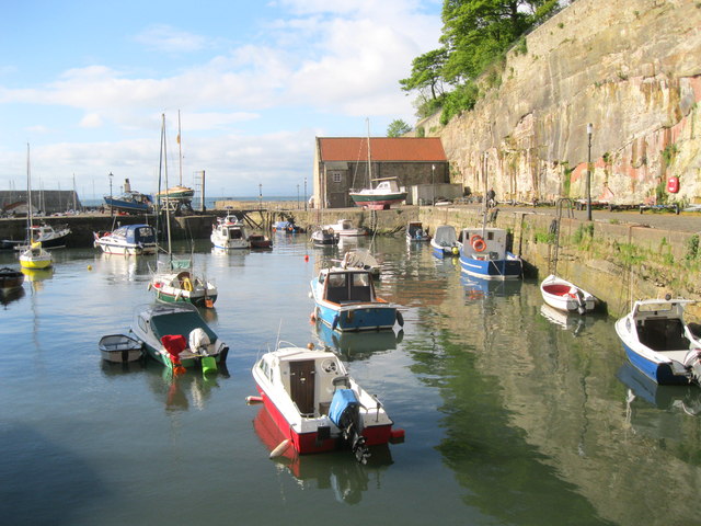
Blair Images
Images are sourced within 2km of 56.133709/-3.1117546 or Grid Reference NT3194. Thanks to Geograph Open Source API. All images are credited.


Blair is located at Grid Ref: NT3194 (Lat: 56.133709, Lng: -3.1117546)
Unitary Authority: Fife
Police Authority: Fife
What 3 Words
///crumbles.sudden.each. Near Kirkcaldy, Fife
Nearby Locations
Related Wikis

Dysart, Fife
Dysart ( ; Scottish Gaelic: Dìseart) is a town and former royal burgh located on the south-east coast between Kirkcaldy and West Wemyss in Fife, Scotland...
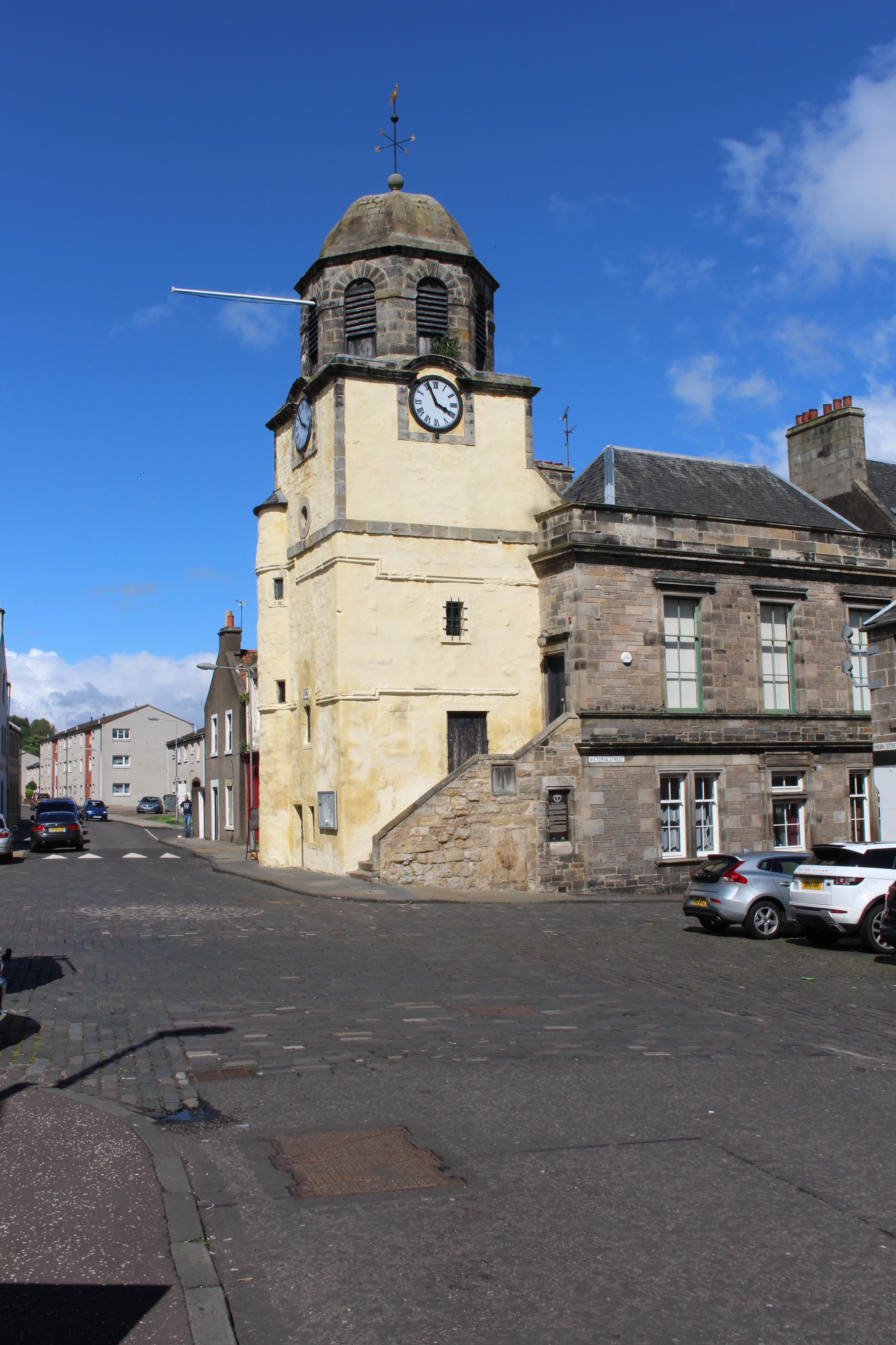
Dysart Tolbooth and Town House
Dysart Tolbooth and Town House is a municipal building in the High Street, Dysart, Fife, Scotland. The structure, which was comprehensively restored in...
Dysart railway station, Fife
Dysart railway station served the burgh of Dysart, Fife, Scotland from 1847 to 1969 on the Edinburgh and Northern Railway. == History == The station opened...
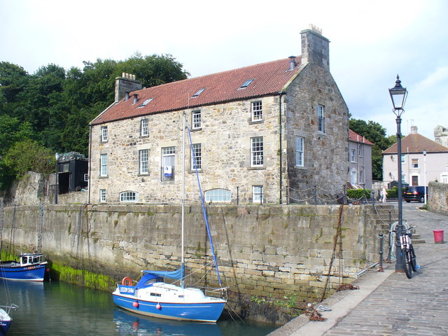
Harbourmaster's House, Dysart
The Harbourmaster's House is a B-listed 18th-century building located by Dysart Harbour, near Kirkcaldy in Fife, Scotland. It houses the first coastal...
Nearby Amenities
Located within 500m of 56.133709,-3.1117546Have you been to Blair?
Leave your review of Blair below (or comments, questions and feedback).