Scotland

Settlement in Lincolnshire South Kesteven

England

Scotland

Entering Ingoldsby past Ingoldsby Academy
Entering Ingoldsby past Ingoldsby Academy Credit: Tim Heaton

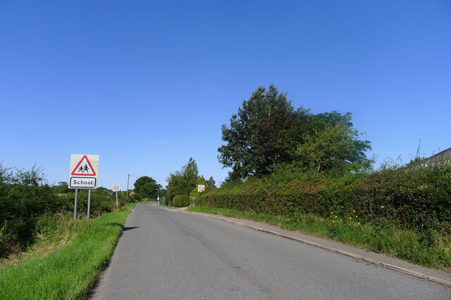
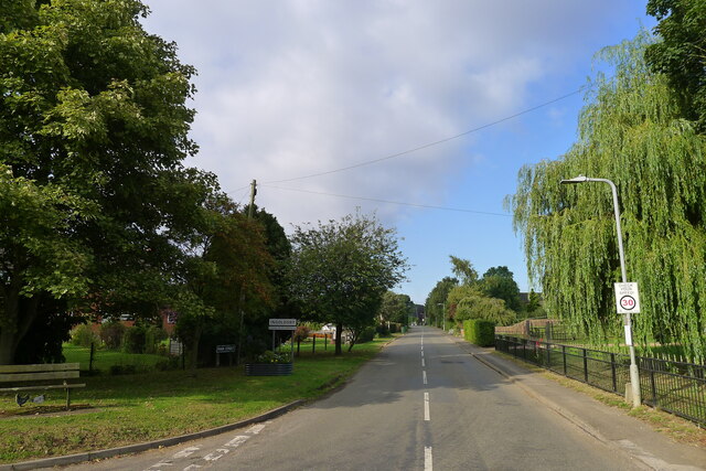
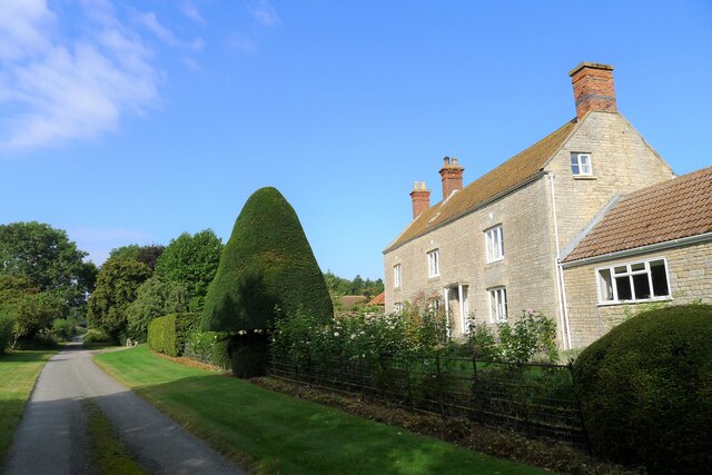
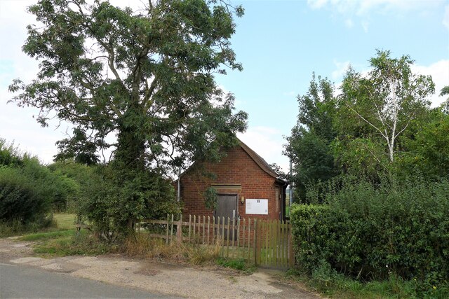
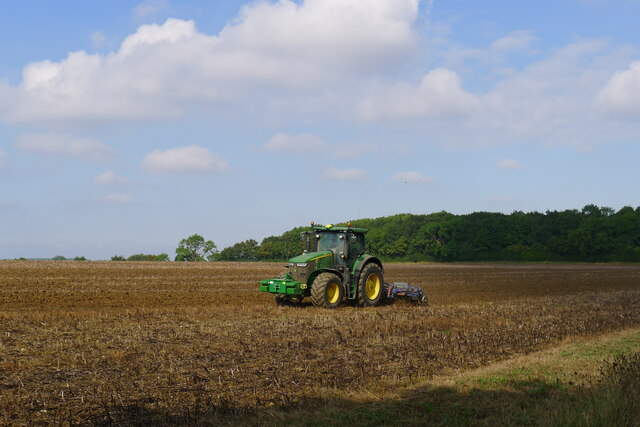
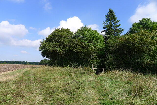
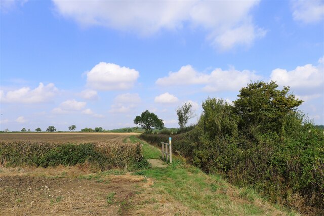
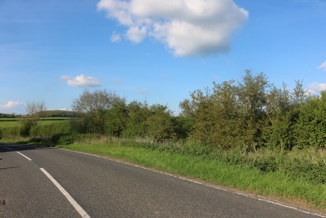
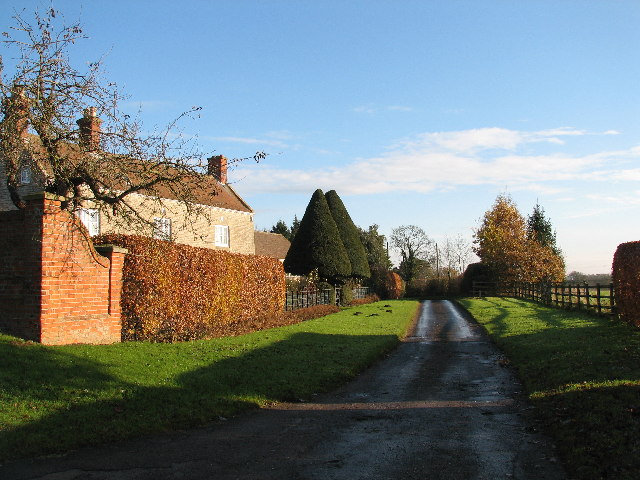
Scotland, Lincolnshire is a small village located in the East Lindsey district of Lincolnshire, England. Situated approximately 6 miles south of the town of Boston, it is surrounded by picturesque countryside and offers a tranquil and idyllic setting.

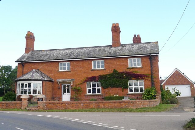
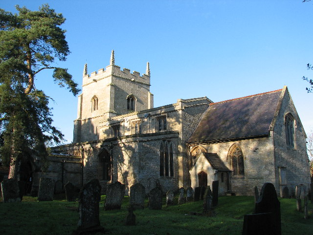
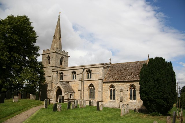
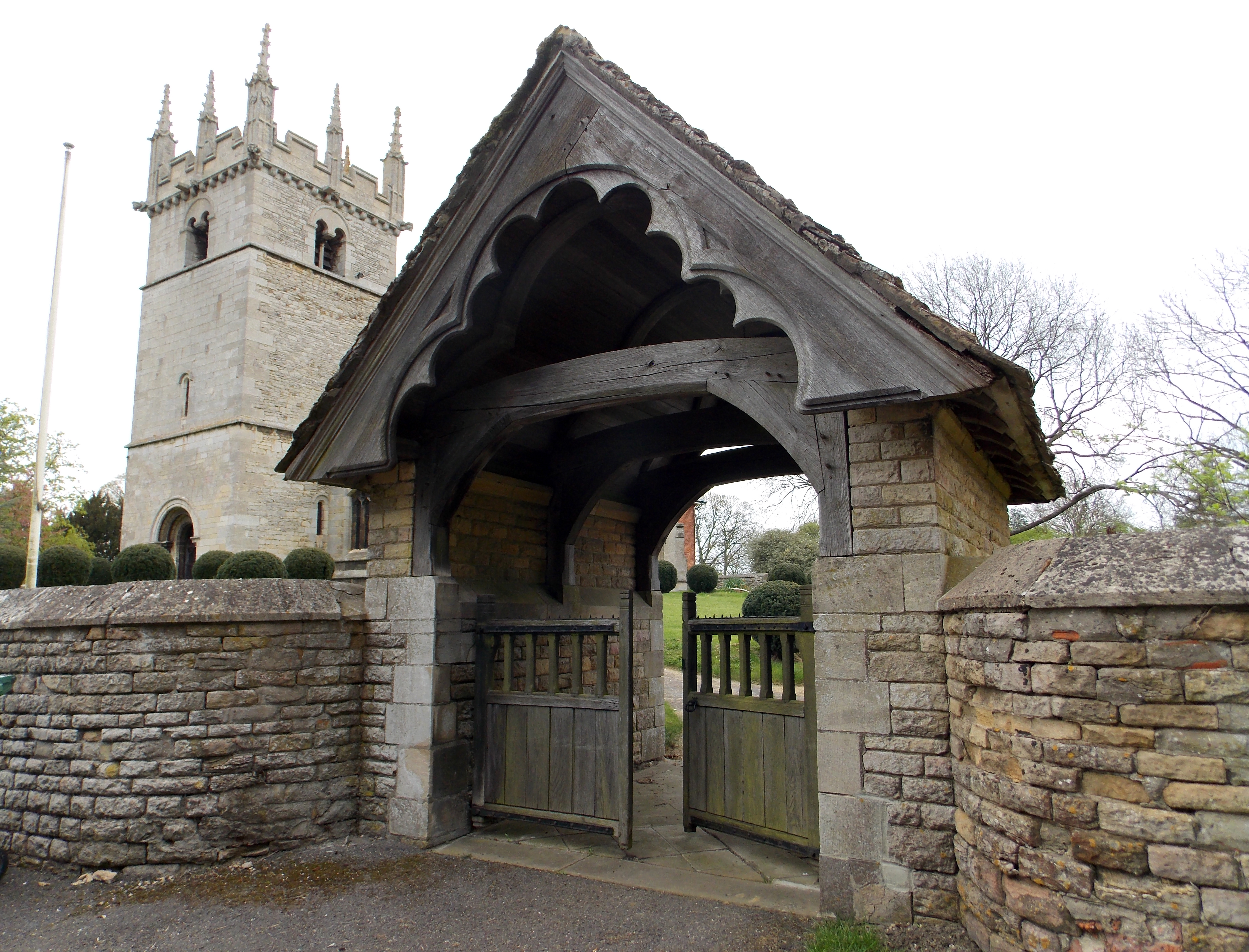
The village is named after the Scotland family, who were influential landowners in the area during the medieval period. It has a rich history dating back many centuries and is known for its charming and well-preserved buildings, including the Grade II listed All Saints Church, which dates back to the 14th century.

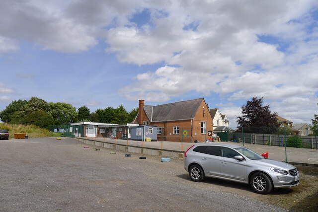
With a population of around 400 residents, Scotland has a close-knit community that prides itself on its friendly and welcoming atmosphere. The village is home to a primary school, providing education for local children, and a village hall that serves as a hub for community activities and events.

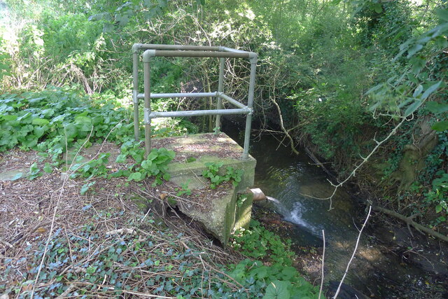
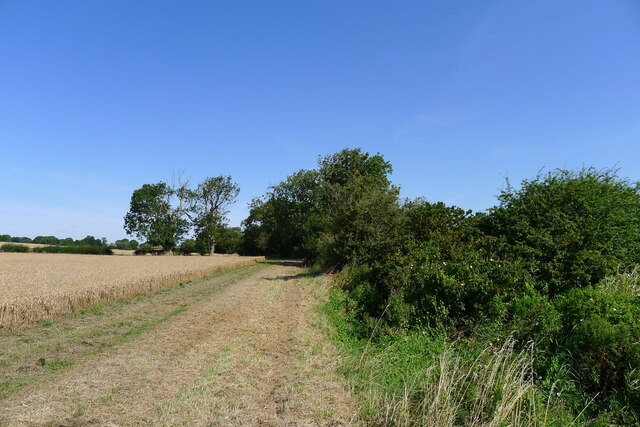
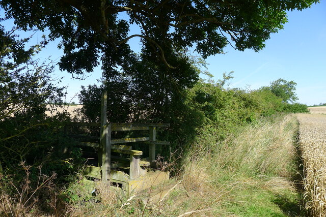
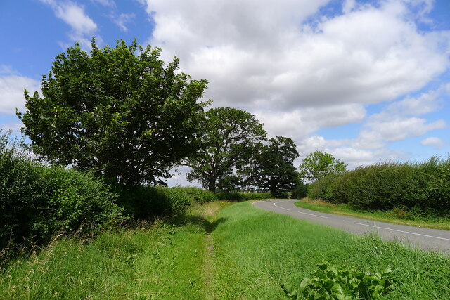
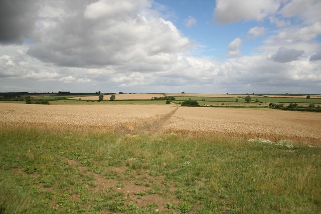
The surrounding countryside offers plenty of opportunities for outdoor pursuits, such as walking, cycling, and birdwatching. The nearby River Witham provides a tranquil spot for fishing enthusiasts, and there are several nature reserves in the area that offer a chance to explore the diverse local flora and fauna.

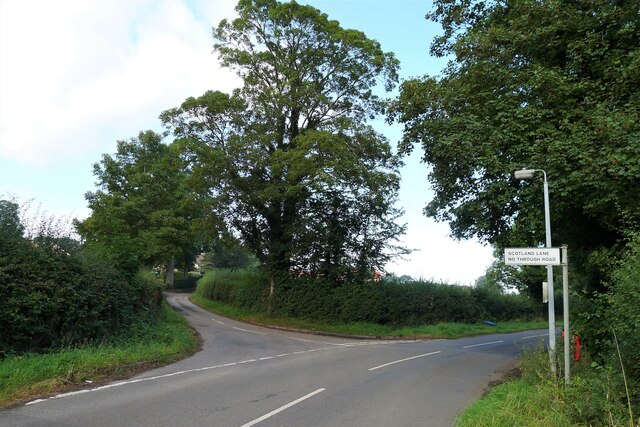
Despite its small size, Scotland, Lincolnshire is well-connected to nearby towns and cities. The A52 road passes through the village, providing easy access to Boston and other major urban centers. Overall, Scotland, Lincolnshire is a charming and peaceful village that offers a rural retreat for residents and visitors alike.

If you have any feedback on the listing, please let us know in the comments section below.

Scotland Images

Images are sourced within 2km of 52.8604/-0.5125 or Grid Reference TF0030. Thanks to Geograph Open Source API. All images are credited.

Entering Ingoldsby past Ingoldsby Academy
Ingoldsby Academy Primary school with nursery facility
Ingoldsby Academy
Primary school with nursery facility
Sewage works outfall into the East Glen River Work was being undertaken at the sewage works, which might explain the high flow from the outfall
Sewage works outfall into the East Glen River
Work was being undertaken at the sewage works, which might explain the high flow from the outfall
Wheat field by the East Glen River The river - barely a trickle in this headwater - is hidden amongst the shrubs on the right.
Wheat field by the East Glen River
The river - barely a trickle in this headwater - is hidden amongst the shrubs on the right.
Footbridge over the East Glen River Carrying the footpath from Hanby to Ingoldsby. The bridge is quite substantial, whereas the path is poorly marked.
Footbridge over the East Glen River
Carrying the footpath from Hanby to Ingoldsby. The bridge is quite substantial, whereas the path is poorly marked.
Entering Ingoldsby on Main Street Ingoldsby =  ‘Farmstead or village of a man called Ingjaldr’ <span class="nowrap"><a title="https://www.oxfordreference.com/view/10.1093/acref/9780199609086.001.0001/acref-9780199609086" rel="nofollow ugc noopener" href="https://www.oxfordreference.com/view/10.1093/acref/9780199609086.001.0001/acref-9780199609086">Link</a><img style="margin-left:2px;" alt="External link" title="External link - shift click to open in new window" src="https://s1.geograph.org.uk/img/external.png" width="10" height="10"/></span>
Entering Ingoldsby on Main Street
Ingoldsby = ‘Farmstead or village of a man called Ingjaldr’ LinkExternal link
The Old Heathcote Arms, Ingoldsby Originally built as farmer's cottages. It was converted to a pub by a member of the Heathcote family about 1811; then became an Everards pub; closed (when?), leaving the village 'dry'; and now produces honey <span class="nowrap"><a title="https://theheathcotearms.co.uk/history" rel="nofollow ugc noopener" href="https://theheathcotearms.co.uk/history">Link</a><img style="margin-left:2px;" alt="External link" title="External link - shift click to open in new window" src="https://s1.geograph.org.uk/img/external.png" width="10" height="10"/></span> <span class="nowrap"><a title="https://www.heathcotehoney.co.uk/" rel="nofollow ugc noopener" href="https://www.heathcotehoney.co.uk/">Link</a><img style="margin-left:2px;" alt="External link" title="External link - shift click to open in new window" src="https://s1.geograph.org.uk/img/external.png" width="10" height="10"/></span>
The Old Heathcote Arms, Ingoldsby
Originally built as farmer's cottages. It was converted to a pub by a member of the Heathcote family about 1811; then became an Everards pub; closed (when?), leaving the village 'dry'; and now produces honey LinkExternal link LinkExternal link
Entrance to Scotland Lane, Ingoldsby A No Through Road leading to the hamlet of Scotland.
Entrance to Scotland Lane, Ingoldsby
A No Through Road leading to the hamlet of Scotland.
Scotland House, Scotland Lane, Scotland Listed Grade II "House: c.1700 with mid C19 alterations" <span class="nowrap"><a title="https://historicengland.org.uk/listing/the-list/list-entry/1261912" rel="nofollow ugc noopener" href="https://historicengland.org.uk/listing/the-list/list-entry/1261912">Link</a><img style="margin-left:2px;" alt="External link" title="External link - shift click to open in new window" src="https://s1.geograph.org.uk/img/external.png" width="10" height="10"/></span>
Scotland House, Scotland Lane, Scotland
Listed Grade II "House: c.1700 with mid C19 alterations" LinkExternal link
Ingoldsby telephone exchange on Humby Road Network ID: EMINGOL, <span class="nowrap"><a title="https://telephone-exchange.co.uk/Ingoldsby-EMINGOL.html" rel="nofollow ugc noopener" href="https://telephone-exchange.co.uk/Ingoldsby-EMINGOL.html">Link</a><img style="margin-left:2px;" alt="External link" title="External link - shift click to open in new window" src="https://s1.geograph.org.uk/img/external.png" width="10" height="10"/></span>
Ingoldsby telephone exchange on Humby Road
Network ID: EMINGOL, LinkExternal link
Overgrown footpath A useful footpath from Bitchfield alongside the busy B1176; becoming overgrown at this point.
Overgrown footpath
A useful footpath from Bitchfield alongside the busy B1176; becoming overgrown at this point.
I hate some folk Look at this catering rubbish dumped on private land with no thought at all.
I hate some folk
Look at this catering rubbish dumped on private land with no thought at all.
Harrowing field next to Ingoldsby Wood The productive farmland of the Kesteven Uplands
Harrowing field next to Ingoldsby Wood
The productive farmland of the Kesteven Uplands
Bridleway approaching Ingoldsby Wood The Danelaw Way one third of its distance from Stamford to Lincoln.
Bridleway approaching Ingoldsby Wood
The Danelaw Way one third of its distance from Stamford to Lincoln.
Bridleway north of Osgodby Coppice Taking the Danelaw Way across the flat Kesteven Uplands.
Bridleway north of Osgodby Coppice
Taking the Danelaw Way across the flat Kesteven Uplands.
The B1176, Bitchfield
Cottages, Scotland Lane, Ingoldsby.
Saint Bartholomew's Church, Ingoldsby
Show me another place!

Scotland is located at Grid Ref: TF0030 (Lat: 52.8604, Lng: -0.5125)

Division: Parts of Kesteven

Administrative County: Lincolnshire

District: South Kesteven

Police Authority: Lincolnshire

What 3 Words

///fuse.bravest.ballparks. Near Corby Glen, Lincolnshire

Related Wikis

Related Videos

Is it good? #me #fortnitebattleroyale #fortnitelive #fypシ #gaming #fornite #inspiration #cat #neko

Hello, This is Mr Unknown 831, The Reason for the live event is to introduce Open World In Fortnite Dare you to click this link: ...

🍽Haggis Arrives!

A cruise to Scotland aboard the beloved 50-pax Hebridean Princess wouldn't be the same without Haggis & the special delivery ...

Street Workout at Nudist Beach

Weak Day after Hard Legs Sesh & Biceps Pain.

Nearby Amenities

Located within 500m of 52.8604,-0.5125
Little Scotland Farm
Place: farm
Source: Bing
Lat/Long: 52.8594899/-0.5119229
Redhill Farm
Place: farm
Source: Bing
Lat/Long: 52.8611726/-0.5113886
Scotland
Place: hamlet
Source: Bing
Lat/Long: 52.8609703/-0.5098637
The data included in this document is from www.openstreetmap.org. The data is made available under ODbL.

Have you been to Scotland?

Leave your review of Scotland below (or comments, questions and feedback).