Ingoldsby

Settlement in Lincolnshire South Kesteven

England

Ingoldsby

Entering Ingoldsby past Ingoldsby Academy
Entering Ingoldsby past Ingoldsby Academy Credit: Tim Heaton

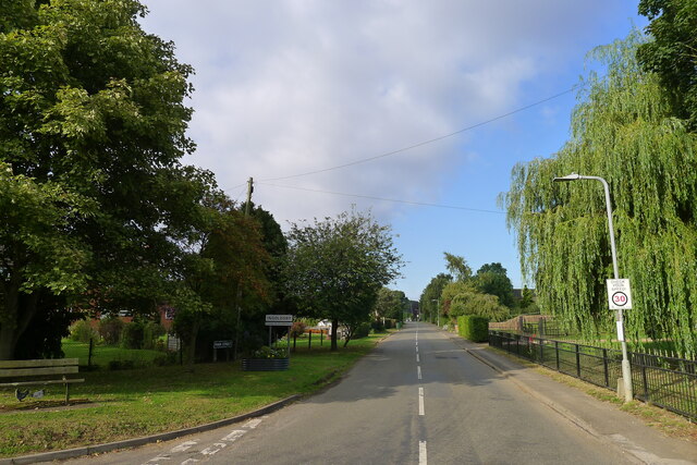
Ingoldsby is a small village situated in the county of Lincolnshire, England. It is located approximately 9 miles north of the town of Grantham and 23 miles south of the city of Lincoln. The village has a population of around 300 residents.

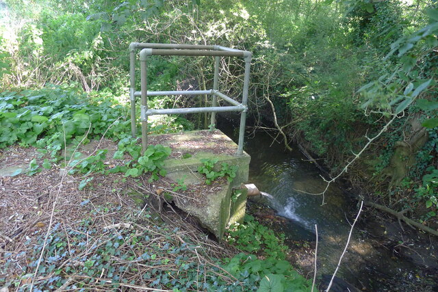
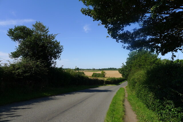
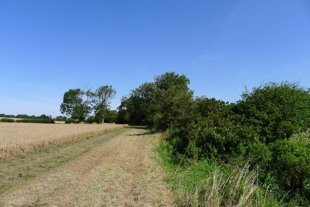
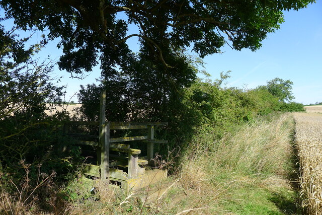
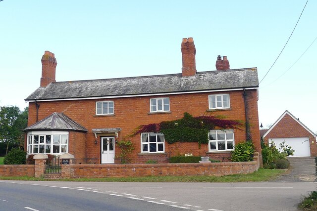
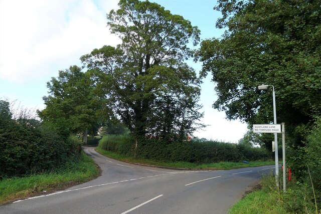
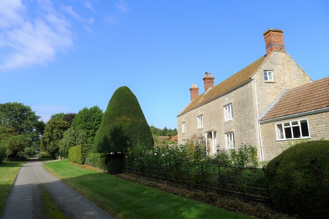
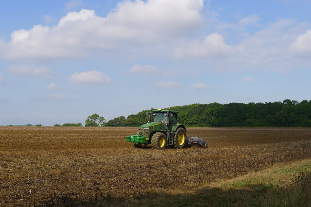
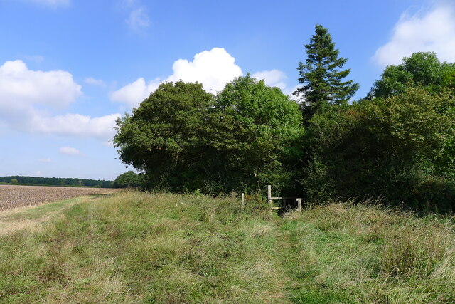
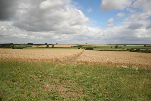
Ingoldsby is renowned for its picturesque and idyllic countryside setting. Surrounded by rolling hills, lush fields, and charming cottages, it offers a tranquil and serene atmosphere for its inhabitants. The village is predominantly rural, with agriculture playing a significant role in the local economy.

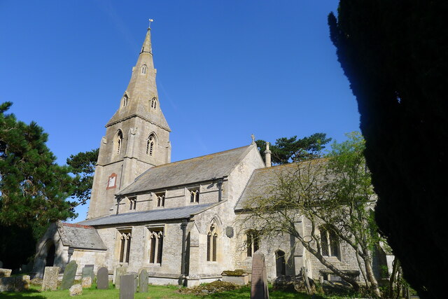
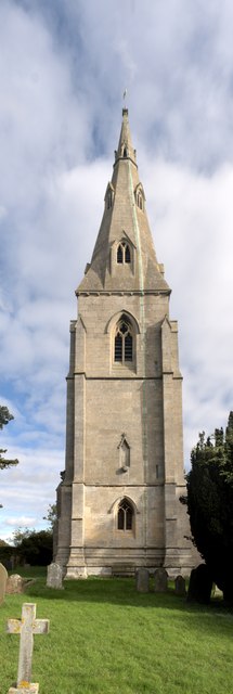
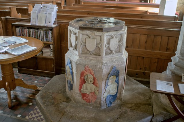
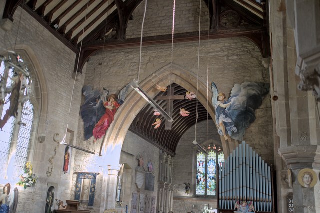
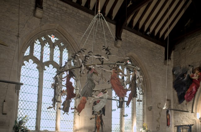
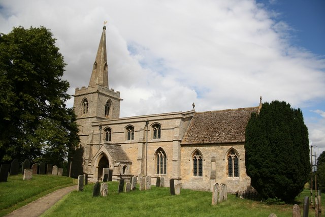
The centerpiece of Ingoldsby is the St. Bartholomew's Church, a beautiful medieval building that dates back to the 12th century. The church features stunning architectural details, including a Norman doorway and intricate stained glass windows. It serves as a place of worship for the community and attracts visitors interested in historical and religious sites.

Despite its small size, Ingoldsby has a strong sense of community, with various social events and gatherings organized throughout the year. The village hall serves as a hub for these activities, hosting regular meetings, clubs, and celebrations.

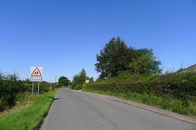
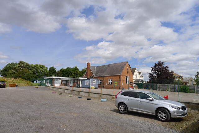
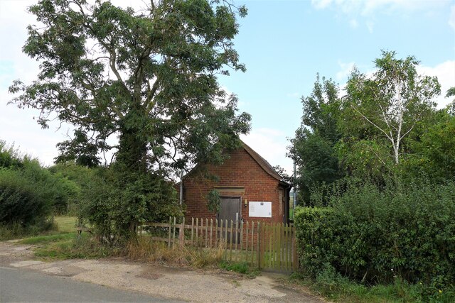
In terms of amenities, Ingoldsby has a primary school, providing education for local children. There is also a village pub, providing a meeting place for residents and visitors alike.

Overall, Ingoldsby offers a charming and peaceful retreat for those seeking a rural lifestyle, surrounded by natural beauty and a close-knit community.

If you have any feedback on the listing, please let us know in the comments section below.

Ingoldsby Images

Images are sourced within 2km of 52.859934/-0.503485 or Grid Reference TF0030. Thanks to Geograph Open Source API. All images are credited.

Entering Ingoldsby past Ingoldsby Academy
Ingoldsby Academy Primary school with nursery facility
Ingoldsby Academy
Primary school with nursery facility
Sewage works outfall into the East Glen River Work was being undertaken at the sewage works, which might explain the high flow from the outfall
Sewage works outfall into the East Glen River
Work was being undertaken at the sewage works, which might explain the high flow from the outfall
Ingoldsby Road leaving Lenton
Church of St Peter, Lenton Listed Grade I, from the 13th century <span class="nowrap"><a title="https://historicengland.org.uk/listing/the-list/list-entry/1253206" rel="nofollow ugc noopener" href="https://historicengland.org.uk/listing/the-list/list-entry/1253206">Link</a><img style="margin-left:2px;" alt="External link" title="External link - shift click to open in new window" src="https://s1.geograph.org.uk/img/external.png" width="10" height="10"/></span>
Church of St Peter, Lenton
Listed Grade I, from the 13th century LinkExternal link
Wheat field by the East Glen River The river - barely a trickle in this headwater - is hidden amongst the shrubs on the right.
Wheat field by the East Glen River
The river - barely a trickle in this headwater - is hidden amongst the shrubs on the right.
Footbridge over the East Glen River Carrying the footpath from Hanby to Ingoldsby. The bridge is quite substantial, whereas the path is poorly marked.
Footbridge over the East Glen River
Carrying the footpath from Hanby to Ingoldsby. The bridge is quite substantial, whereas the path is poorly marked.
Entering Ingoldsby on Main Street Ingoldsby =  ‘Farmstead or village of a man called Ingjaldr’ <span class="nowrap"><a title="https://www.oxfordreference.com/view/10.1093/acref/9780199609086.001.0001/acref-9780199609086" rel="nofollow ugc noopener" href="https://www.oxfordreference.com/view/10.1093/acref/9780199609086.001.0001/acref-9780199609086">Link</a><img style="margin-left:2px;" alt="External link" title="External link - shift click to open in new window" src="https://s1.geograph.org.uk/img/external.png" width="10" height="10"/></span>
Entering Ingoldsby on Main Street
Ingoldsby = ‘Farmstead or village of a man called Ingjaldr’ LinkExternal link
The Old Heathcote Arms, Ingoldsby Originally built as farmer's cottages. It was converted to a pub by a member of the Heathcote family about 1811; then became an Everards pub; closed (when?), leaving the village 'dry'; and now produces honey <span class="nowrap"><a title="https://theheathcotearms.co.uk/history" rel="nofollow ugc noopener" href="https://theheathcotearms.co.uk/history">Link</a><img style="margin-left:2px;" alt="External link" title="External link - shift click to open in new window" src="https://s1.geograph.org.uk/img/external.png" width="10" height="10"/></span> <span class="nowrap"><a title="https://www.heathcotehoney.co.uk/" rel="nofollow ugc noopener" href="https://www.heathcotehoney.co.uk/">Link</a><img style="margin-left:2px;" alt="External link" title="External link - shift click to open in new window" src="https://s1.geograph.org.uk/img/external.png" width="10" height="10"/></span>
The Old Heathcote Arms, Ingoldsby
Originally built as farmer's cottages. It was converted to a pub by a member of the Heathcote family about 1811; then became an Everards pub; closed (when?), leaving the village 'dry'; and now produces honey LinkExternal link LinkExternal link
Entrance to Scotland Lane, Ingoldsby A No Through Road leading to the hamlet of Scotland.
Entrance to Scotland Lane, Ingoldsby
A No Through Road leading to the hamlet of Scotland.
Scotland House, Scotland Lane, Scotland Listed Grade II "House: c.1700 with mid C19 alterations" <span class="nowrap"><a title="https://historicengland.org.uk/listing/the-list/list-entry/1261912" rel="nofollow ugc noopener" href="https://historicengland.org.uk/listing/the-list/list-entry/1261912">Link</a><img style="margin-left:2px;" alt="External link" title="External link - shift click to open in new window" src="https://s1.geograph.org.uk/img/external.png" width="10" height="10"/></span>
Scotland House, Scotland Lane, Scotland
Listed Grade II "House: c.1700 with mid C19 alterations" LinkExternal link
Harrowing field next to Ingoldsby Wood The productive farmland of the Kesteven Uplands
Harrowing field next to Ingoldsby Wood
The productive farmland of the Kesteven Uplands
Bridleway approaching Ingoldsby Wood The Danelaw Way one third of its distance from Stamford to Lincoln.
Bridleway approaching Ingoldsby Wood
The Danelaw Way one third of its distance from Stamford to Lincoln.
Ingoldsby telephone exchange on Humby Road Network ID: EMINGOL, <span class="nowrap"><a title="https://telephone-exchange.co.uk/Ingoldsby-EMINGOL.html" rel="nofollow ugc noopener" href="https://telephone-exchange.co.uk/Ingoldsby-EMINGOL.html">Link</a><img style="margin-left:2px;" alt="External link" title="External link - shift click to open in new window" src="https://s1.geograph.org.uk/img/external.png" width="10" height="10"/></span>
Ingoldsby telephone exchange on Humby Road
Network ID: EMINGOL, LinkExternal link
St Peter's Church, Lenton: the tower The tower of the church dates from the 14th century, and is typical of the period.

This is a grade I listed building: <span class="nowrap"><a title="https://historicengland.org.uk/listing/the-list/list-entry/1253206?section=official-list-entry" rel="nofollow ugc noopener" href="https://historicengland.org.uk/listing/the-list/list-entry/1253206?section=official-list-entry">Link</a><img style="margin-left:2px;" alt="External link" title="External link - shift click to open in new window" src="https://s1.geograph.org.uk/img/external.png" width="10" height="10"/></span> .
St Peter's Church, Lenton: the tower
The tower of the church dates from the 14th century, and is typical of the period. This is a grade I listed building: LinkExternal link .
St Peter's Church, Lenton: the font Angels round the font.  These are part of the Millennium art project created by  the late Roger Heaton.  It has been erected again for the 24th anniversary.

The octagonal font is 15th century.  The church is grade I listed - see <span class="nowrap"><a title="https://historicengland.org.uk/listing/the-list/list-entry/1253206?section=official-list-entry" rel="nofollow ugc noopener" href="https://historicengland.org.uk/listing/the-list/list-entry/1253206?section=official-list-entry">Link</a><img style="margin-left:2px;" alt="External link" title="External link - shift click to open in new window" src="https://s1.geograph.org.uk/img/external.png" width="10" height="10"/></span> .
St Peter's Church, Lenton: the font
Angels round the font. These are part of the Millennium art project created by the late Roger Heaton. It has been erected again for the 24th anniversary. The octagonal font is 15th century. The church is grade I listed - see LinkExternal link .
St Peter's Church, Lenton: chancel arch Decorated with angels, the chancel arch dates from the 14th century.
This is a Grade I listed church - <span class="nowrap"><a title="https://historicengland.org.uk/listing/the-list/list-entry/1253206?section=official-list-entry" rel="nofollow ugc noopener" href="https://historicengland.org.uk/listing/the-list/list-entry/1253206?section=official-list-entry">Link</a><img style="margin-left:2px;" alt="External link" title="External link - shift click to open in new window" src="https://s1.geograph.org.uk/img/external.png" width="10" height="10"/></span>.
St Peter's Church, Lenton: chancel arch
Decorated with angels, the chancel arch dates from the 14th century. This is a Grade I listed church - LinkExternal link.
St Peter's Church, Lenton: a flight of angels The Artists Roger and Liz Heaton created the display of angel images for the Millennium .
St Peter's Church, Lenton: a flight of angels
The Artists Roger and Liz Heaton created the display of angel images for the Millennium .
Show me another place!

Ingoldsby is located at Grid Ref: TF0030 (Lat: 52.859934, Lng: -0.503485)

Division: Parts of Kesteven

Administrative County: Lincolnshire

District: South Kesteven

Police Authority: Lincolnshire

What 3 Words

///fund.inclines.crass. Near Corby Glen, Lincolnshire

Related Wikis

Nearby Amenities

Located within 500m of 52.859934,-0.503485
Ingoldsby
Is In: Lincolnshire, England, UK
Place: village
Lat/Long: 52.8592595/-0.4993236
Bus Stop
St Bartholomew's Church
Naptan AtcoCode: 270000008958
Naptan Bearing: W
Naptan CommonName: St Bartholomew's Church
Naptan Indicator: adj
Naptan Landmark: St Bartholomew's Church
Naptan NaptanCode: lingwjpa
Naptan Street: Main Road
Naptan Verified: no
Source: naptan_import
Lat/Long: 52.8587263/-0.5003433
Bus Stop
St Bartholomew's Church
Naptan AtcoCode: 270000008959
Naptan Bearing: E
Naptan CommonName: St Bartholomew's Church
Naptan Indicator: opp
Naptan Landmark: St Bartholomew's Church
Naptan NaptanCode: lingwjpd
Naptan Street: Main Road
Naptan Verified: no
Source: naptan_import
Lat/Long: 52.8588327/-0.5004396
Post Box
Lat/Long: 52.859041/-0.4973894
Church Farm
Place: farm
Source: Bing
Lat/Long: 52.8585717/-0.4993805
Scotland
Place: hamlet
Source: Bing
Lat/Long: 52.8609703/-0.5098637
Ingoldsby & Dist Social Club
Addr City: Grantham
Addr Postcode: NG33 4EJ
Addr Street: Main Street
Addr Suburb: Ingoldsby
Club: social
Fhrs Authority: South Kesteven
Fhrs Id: 238611
Fhrs Local Authority Id: 4854
Lat/Long: 52.859934/-0.4968309
The data included in this document is from www.openstreetmap.org. The data is made available under ODbL.

Have you been to Ingoldsby?

Leave your review of Ingoldsby below (or comments, questions and feedback).