Abbot's Meads
Settlement in Cheshire
England
Abbot's Meads

Abbot's Meads is a charming residential area located in the city of Chester, Cheshire, in northwest England. Situated just outside the city center, this neighborhood offers a tranquil and picturesque setting while still being within easy reach of all the amenities and attractions Chester has to offer.
The area of Abbot's Meads is known for its well-maintained Victorian and Edwardian houses, which give the neighborhood a distinctive character. The architecture is a mix of red brick and traditional black-and-white timber-framed buildings, adding to the area's charm and historical appeal.
The beautiful River Dee is just a short walk away from Abbot's Meads, providing residents with stunning views and the opportunity to enjoy leisurely walks along its banks. Additionally, the nearby Grosvenor Park offers a peaceful green space where locals can relax, picnic, or engage in recreational activities.
Abbot's Meads benefits from its proximity to Chester's city center. Within a short distance, residents can access an array of shops, restaurants, and entertainment venues. The city is also home to several historical landmarks and attractions, including the iconic Chester Cathedral, the Roman walls, and the famous Rows, a unique shopping district with two-tiered galleries.
Transportation links are excellent in Abbot's Meads, with Chester's train station just a stone's throw away, providing easy access to major cities such as Manchester and Liverpool. The M53 motorway is also easily accessible, connecting residents to the wider region.
Overall, Abbot's Meads offers a peaceful and attractive residential area that combines historical charm with modern convenience, making it a desirable place to live in Cheshire.
If you have any feedback on the listing, please let us know in the comments section below.
Abbot's Meads Images
Images are sourced within 2km of 53.196565/-2.9145434 or Grid Reference SJ3967. Thanks to Geograph Open Source API. All images are credited.


Abbot's Meads is located at Grid Ref: SJ3967 (Lat: 53.196565, Lng: -2.9145434)
Unitary Authority: Cheshire West and Chester
Police Authority: Cheshire
What 3 Words
///work.number.fever. Near Blacon, Cheshire
Nearby Locations
Related Wikis

Sealand Road
Sealand Road was the home stadium of Chester City Football Club (until 1983 known as Chester Football Club) from 1906 until 1990. Although officially known...
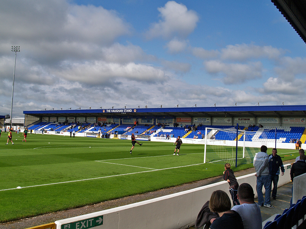
Deva Stadium
Deva Stadium is an association football stadium which is the home of Chester F.C., the effective successor club to the liquidated Chester City. The stadium...

Chester F.C.
Chester Football Club is an association football club based in Chester. They are currently members of the National League North, the sixth tier of English...
Water Tower, Chester
The Water Tower (originally known as the New Tower) is a 14th-century tower in Chester, Cheshire, England, which is attached by a spur wall to Bonewaldesthorne...
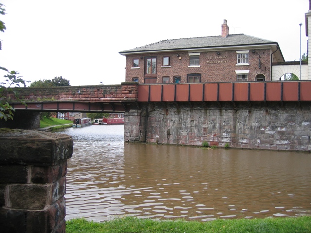
Telford's Warehouse
Telford's Warehouse is located between Raymond Street and Tower Wharf, Chester, Cheshire, England, alongside the Shropshire Union Canal. It is recorded...

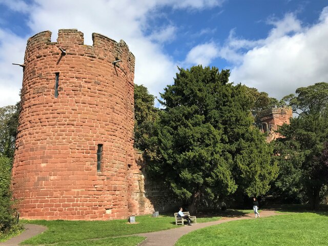
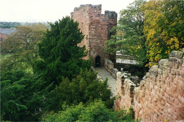
Bonewaldesthorne's Tower
Bonewaldesthorne's Tower is a medieval structure on the northwest corner of the city walls of Chester, Cheshire, England; it is attached by a spur wall...
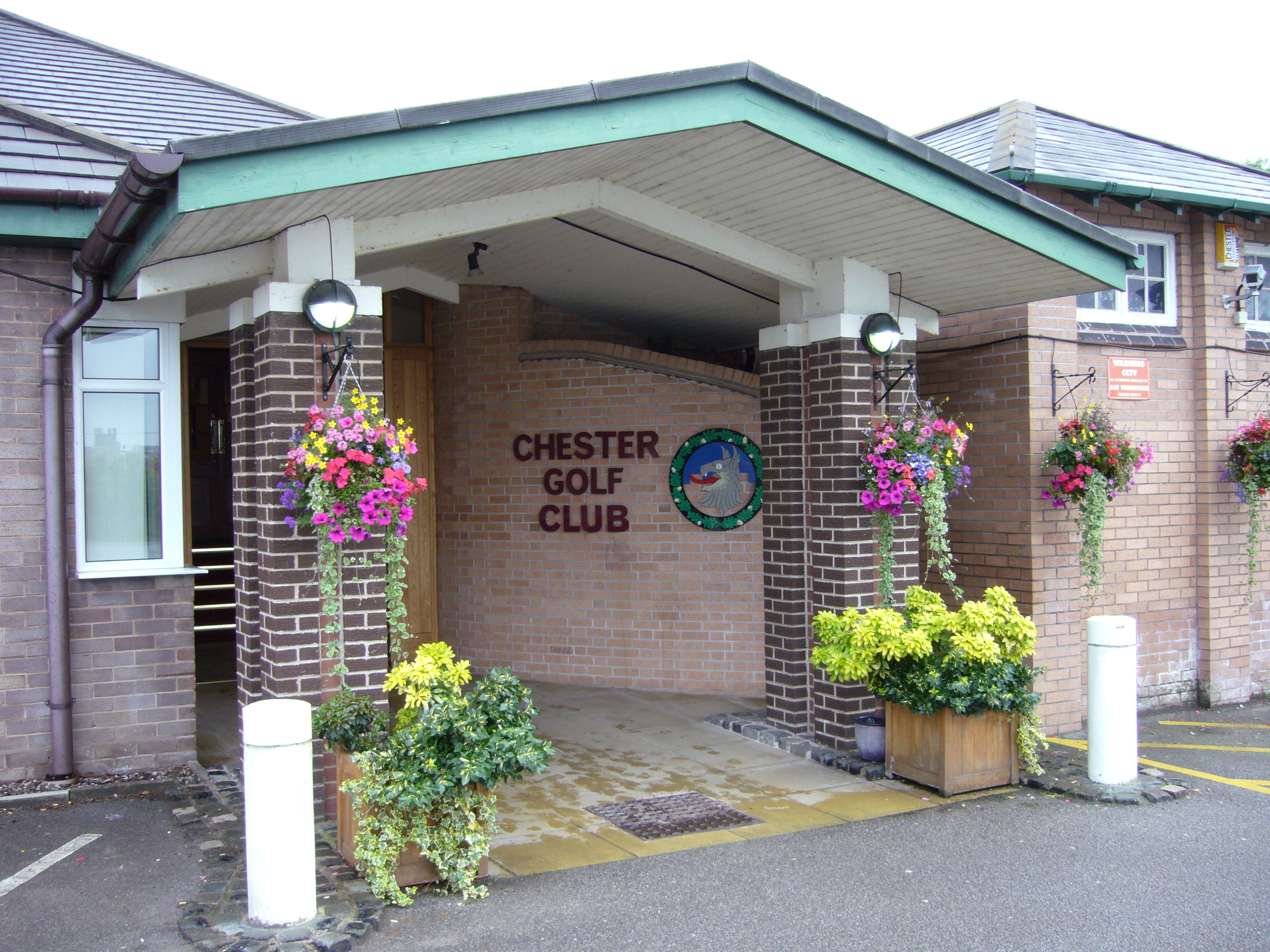
Chester Golf Club
Chester Golf Club is an English golf club, located in Curzon Park, Chester, Cheshire. The club participates in competitions and inter-club matches. Set...

University of Chester
The University of Chester is a public university located in Chester, England. The university originated as the first purpose-built teacher training college...
Nearby Amenities
Located within 500m of 53.196565,-2.9145434Have you been to Abbot's Meads?
Leave your review of Abbot's Meads below (or comments, questions and feedback).