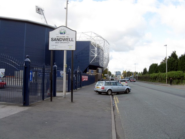
Sandwell

Settlement in Staffordshire

England

Sandwell

Bench in Handsworth Cemetery Memorial bench in Handsworth Cemetery, opposite office
Bench in Handsworth Cemetery Credit: Michael Westley

Sandwell is a metropolitan borough located in the West Midlands county of England. It is part of the wider West Midlands conurbation and is bordered by the cities of Birmingham and Wolverhampton. Despite being geographically close to the Black Country, which is known for its industrial heritage, Sandwell is predominantly a residential area.

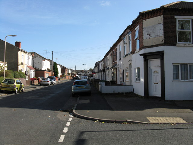
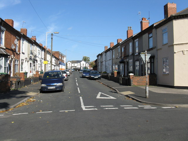
With a population of approximately 330,000 people, Sandwell is one of the most densely populated boroughs in the West Midlands. Its key towns include Oldbury, Smethwick, Wednesbury, Tipton, and West Bromwich. The borough is known for its diverse population, with a significant number of residents from South Asian and Afro-Caribbean backgrounds.

Historically, Sandwell was an important industrial area, with coal mining and manufacturing playing a significant role in its development. However, like many areas in the region, the decline of heavy industry led to a shift towards service-based sectors.

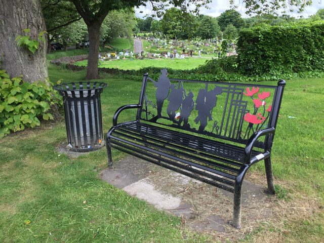
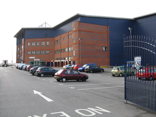
Sandwell offers a range of amenities and facilities to its residents. It has several shopping centers, including the West Bromwich town center, which has undergone significant regeneration in recent years. The borough is also home to numerous parks and green spaces, providing recreational opportunities for its residents.

Education in Sandwell is provided by a number of primary and secondary schools, as well as further education colleges. The borough is also home to Sandwell College, which offers a wide range of vocational and academic courses.

Overall, Sandwell is a diverse and densely populated metropolitan borough that has undergone significant changes since the decline of heavy industry, focusing on residential areas and improving its amenities for its residents.

If you have any feedback on the listing, please let us know in the comments section below.
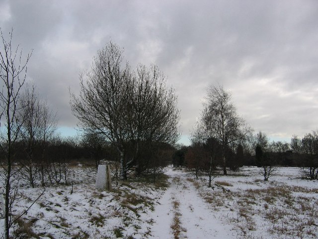
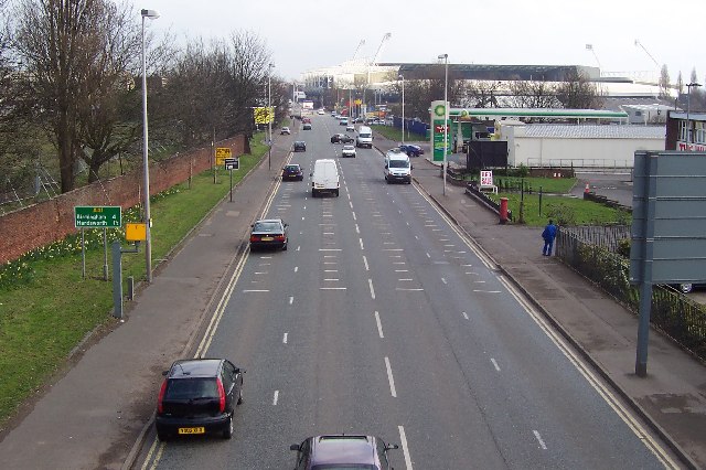
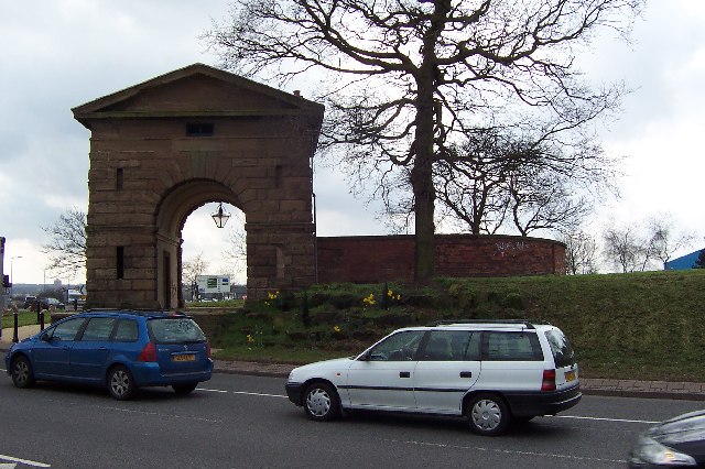
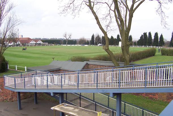
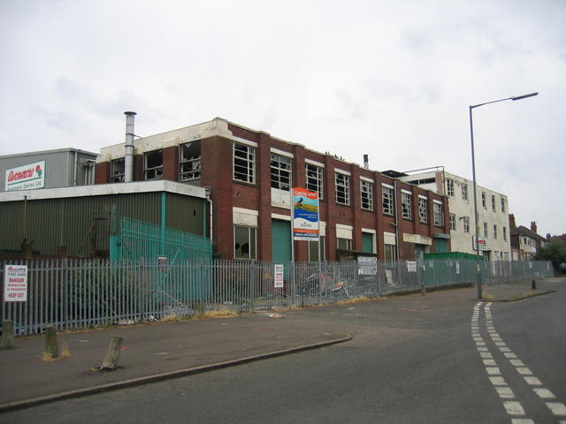
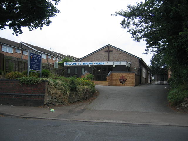
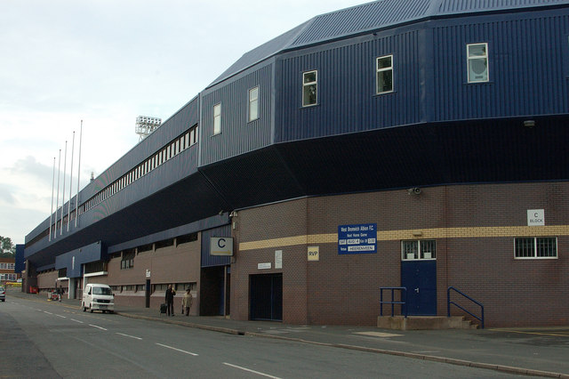
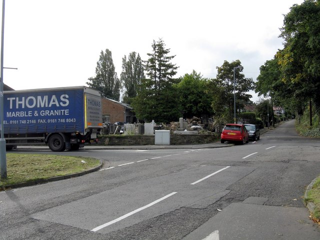
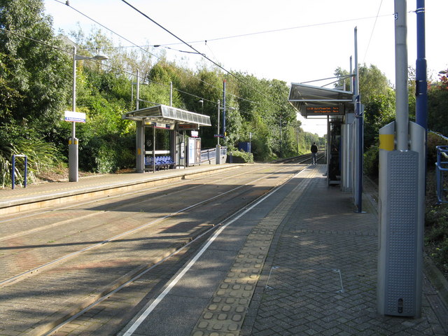
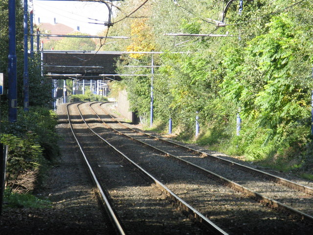
Sandwell Images

Images are sourced within 2km of 52.501568/-1.970357 or Grid Reference SP0289. Thanks to Geograph Open Source API. All images are credited.

Bench in Handsworth Cemetery Memorial bench in Handsworth Cemetery, opposite office
Bench in Handsworth Cemetery
Memorial bench in Handsworth Cemetery, opposite office
The Cricketers' Arms, Glover Street. West Bromwich The Cricketers' Arms has a fine gable end mural facing onto Kenrick Way (I have left off the brewery advertising to the left of the wicket, though). The tower blocks in the background are Neale House and Macauley House; they are adorned with the 'butterfly excrescences' (<a href="https://www.geograph.org.uk/photo/2931756">SP3379 : Paul Stacey House, Bath Street, Coventry</a>) that feature on many tower blocks in the West Midlands.
The Cricketers' Arms, Glover Street. West Bromwich
The Cricketers' Arms has a fine gable end mural facing onto Kenrick Way (I have left off the brewery advertising to the left of the wicket, though). The tower blocks in the background are Neale House and Macauley House; they are adorned with the 'butterfly excrescences' (SP3379 : Paul Stacey House, Bath Street, Coventry) that feature on many tower blocks in the West Midlands.
Kenrick House, viewed from Kenrick Park, West Bromwich Kenrick House is the nearer block, on the left; the block to the right is either Mountford or Lissimore. Kenrick House and Park remember the local ironfounding magnates Archibald Kenrick & Sons; see <a href="https://www.geograph.org.uk/photo/7457408">SP0089 : Kenrick Building, Hall Street South, West Bromwich</a>.
Kenrick House, viewed from Kenrick Park, West Bromwich
Kenrick House is the nearer block, on the left; the block to the right is either Mountford or Lissimore. Kenrick House and Park remember the local ironfounding magnates Archibald Kenrick & Sons; see SP0089 : Kenrick Building, Hall Street South, West Bromwich.
West Bromwich Albion Football Ground The Hawthorns ground.
West Bromwich Albion Football Ground
The Hawthorns ground.
Sandwell Park A wild bit of ground in West Bromwich. Now used as a golf course, but deserted on this snowy morning.
Sandwell Park
A wild bit of ground in West Bromwich. Now used as a golf course, but deserted on this snowy morning.
The Hawthorns The A41 Holyhead Road with the West Bromwich Albion football ground in the distance.
The Hawthorns
The A41 Holyhead Road with the West Bromwich Albion football ground in the distance.
The Sandwell Arch The sight that greets you when you leave the M5 southbound at junction 1.
The Sandwell Arch
The sight that greets you when you leave the M5 southbound at junction 1.
Dartmouth Cricket Club You would hardly guess that this lovely greensward was there beside the A41.
Dartmouth Cricket Club
You would hardly guess that this lovely greensward was there beside the A41.
Derelict dairy The former Avonmore Dairy at the junction of Sandwell and Island Roads which was due for demolition prior to re-development for more housing when this picture was submitted.

<a href="https://www.geograph.org.uk/photo/1666915">SP0390 : New Homes, Island Road</a>, submitted in January 2010, shows the completed development with the housing now up and in use.
Derelict dairy
The former Avonmore Dairy at the junction of Sandwell and Island Roads which was due for demolition prior to re-development for more housing when this picture was submitted. SP0390 : New Homes, Island Road, submitted in January 2010, shows the completed development with the housing now up and in use.
Beacon Evangelical Church Beside Sandwell road in Handsworth.
Beacon Evangelical Church
Beside Sandwell road in Handsworth.
West Bromwich Albion - The Hawthorns, Halfords Lane entrances.
Camp Lane, Handsworth Home of a monumental mason situated a short distance from a cemetery.
Camp Lane, Handsworth
Home of a monumental mason situated a short distance from a cemetery.
Welcome to West Brom! With The Hawthorns' north stand looming over the A41.
Welcome to West Brom!
With The Hawthorns' north stand looming over the A41.
The Hawthorns - East Stand Part of West Bromwich Albion's sizeable stadium.
The Hawthorns - East Stand
Part of West Bromwich Albion's sizeable stadium.
Durlington Road Typical of the area.
Durlington Road
Typical of the area.
Florence Road Typical of this area.
Florence Road
Typical of this area.
Trinity Way tram stop One of the standard designs for the Midland Metro tram system.
Trinity Way tram stop
One of the standard designs for the Midland Metro tram system.
Midland Metro tram line near Trinity Way The view is toward Wolverhampton along what was once the Great Western Railway's main line from London to Shrewsbury, Chester and Birkenhead.
Midland Metro tram line near Trinity Way
The view is toward Wolverhampton along what was once the Great Western Railway's main line from London to Shrewsbury, Chester and Birkenhead.
Show me another place!

Sandwell is located at Grid Ref: SP0289 (Lat: 52.501568, Lng: -1.970357)

Unitary Authority: Sandwell

Police Authority: West Midlands

What 3 Words

///successes.sweep.woods. Near Smethwick, West Midlands

Nearby Locations

Sandwell

Related Wikis

2013 Smethwick fire

At around 11pm on the night of 30 June 2013, a sky lantern landed on a Jayplas plastics and paper recycling plant on Dartmouth Road, near to the West Bromwich...

Galton Valley Canal Heritage Centre

Galton Valley Canal Museum is a small museum, located in Smethwick, England, on the border with Birmingham and alongside the BCN Main Line canals. The...

Engine Arm Aqueduct

The Engine Arm Aqueduct near Smethwick, West Midlands, England, was built in 1825 by Thomas Telford to carry a water feeder, the Engine Arm, from Edgbaston...

Galton Junction

Galton Junction is a minor junction on the West Coast Main Line's Rugby-Birmingham-Stafford Line. With Smethwick Junction, it allows northbound trains...

Nearby Amenities

Located within 500m of 52.501568,-1.970357
Traffic Signals
Source: survey
Lat/Long: 52.5014328/-1.9685148
Heritage: 2
Heritage Operator: Historic England
Listed Status: Grade II
Seamark Type: gate
Waterway: lock_gate
Lat/Long: 52.4986238/-1.965641
Crossing
Bicycle: yes
Crossing: traffic_signals
Crossing Ref: toucan
Lat/Long: 52.5028561/-1.9774178
Post Box
Post Box Type: pillar
Ref: B66 173
Royal Cypher: EVIIR
Royal Cypher Wikidata: Q33102324
Lat/Long: 52.5005563/-1.9695741
Traffic Calming: choker
Lat/Long: 52.4982873/-1.9715067
Source: bing
Traffic Calming: bump
Lat/Long: 52.4981967/-1.9694676
Source: bing
Traffic Calming: bump
Lat/Long: 52.4987955/-1.968856
Source: bing
Traffic Calming: bump
Lat/Long: 52.4988343/-1.9681592
Source: bing
Traffic Calming: bump
Lat/Long: 52.4987795/-1.9682791
Source: bing
Traffic Calming: bump
Lat/Long: 52.4995513/-1.968028
Source: bing
Traffic Calming: bump
Lat/Long: 52.4991286/-1.9672394
Noexit: yes
Lat/Long: 52.5016952/-1.9680763
Noexit: yes
Lat/Long: 52.5018611/-1.9679872
Place Of Worship
Bangladeshi Islamic Association Centre
Religion: muslim
Lat/Long: 52.5005925/-1.9658097
Post Box
Fixme: RM 2013 data shows B66 180
Postal Code: B66
Ref: B66 189
Lat/Long: 52.5033497/-1.9656776
Bus Stop
Brasshouse Ln / Community Centre
NaPTANAreaCode: 43000944201
Bus: yes
Location: Brasshouse Lane, Community Centre
Naptan AtcoCode: 43000944201
Naptan Bearing: NE
Naptan BusStopType: MKD
Naptan CommonName: Community Centre
Naptan Indicator: adj
Naptan NaptanCode: nwmpdwjt
Naptan PlusbusZoneRef: BHAMNWS
Naptan Status: ACT
Naptan StopType: BCT
Naptan Street: BRASSHOUSE LN
Naptan Towards: West Bromwich
Public Transport: platform
Route Ref: 50A
Shelter: yes
Shelter Ref: 305809
Source: WMCA
Towards: West Bromwich
Lat/Long: 52.5003833/-1.9699458
Bus Stop
Brasshouse Ln / Community Centre
NaPTANAreaCode: 43000944202
Asset Ref: 305804
Bus: yes
Location: Brasshouse Lane;Community Centre
Naptan AtcoCode: 43000944202
Naptan Bearing: SW
Naptan BusStopType: MKD
Naptan CommonName: Community Centre
Naptan Indicator: opp
Naptan NaptanCode: nwmpdwjw
Naptan PlusbusZoneRef: BHAMNWS
Naptan Status: ACT
Naptan StopType: BCT
Naptan Street: BRASSHOUSE LN
Naptan Towards: Smethwick
Public Transport: platform
Route Ref: 50C
Shelter: yes
Shelter Ref: 305804
Source: WMCA
Towards: Smethwick
Lat/Long: 52.500857/-1.9691701
Bus Stop
Brasshouse Ln / Doulton Drive
Bus: yes
Naptan AtcoCode: 43000944301
Naptan Bearing: NE
Naptan BusStopType: MKD
Naptan CommonName: Doulton Drive
Naptan Indicator: opp
Naptan NaptanCode: nwmpdwma
Naptan PlusbusZoneRef: BHAMNWS
Naptan Status: ACT
Naptan StopType: BCT
Naptan Street: BRASSHOUSE LN
Naptan Towards: West Bromwich
Naptan Verified: no
Public Transport: platform
Route Ref: 50A
Source: WMCA
Lat/Long: 52.4982818/-1.9720051
Bus Stop
Brasshouse Ln / Doulton Drive
Asset Ref: 0944301
Bus: yes
Naptan AtcoCode: 43000944302
Naptan Bearing: SW
Naptan BusStopType: MKD
Naptan CommonName: Doulton Drive
Naptan Indicator: adj
Naptan NaptanCode: nwmpdwmd
Naptan PlusbusZoneRef: BHAMNWS
Naptan Status: ACT
Naptan StopType: BCT
Naptan Street: BRASSHOUSE LN
Naptan Towards: Smethwick
Naptan Verified: no
Public Transport: platform
Route Ref: 50C
Shelter: yes
Source: WMCA
Lat/Long: 52.4981332/-1.9719892
Bus Stop
Lewisham Rd / Sydenham Rd
Asset Ref: 0950201
Bus: yes
Location: Lewisham Road;Sydenham Road
Naptan AtcoCode: 43000950201
Naptan Bearing: W
Naptan BusStopType: MKD
Naptan CommonName: Sydenham Rd
Naptan Indicator: opp
Naptan Landmark: Industrial Estate
Naptan NaptanCode: nwmpgdmt
Naptan PlusbusZoneRef: BHAMNWS
Naptan Status: ACT
Naptan StopType: BCT
Naptan Street: LEWISHAM RD
Public Transport: platform
Route Ref: 439
Shelter: no
Source: WMCA
Lat/Long: 52.5007001/-1.9657766
Bus Stop
Lewisham Rd / Sydenham Rd
Bus: yes
Naptan AtcoCode: 43000950202
Naptan Bearing: E
Naptan BusStopType: MKD
Naptan CommonName: Sydenham Rd
Naptan Indicator: adj
Naptan Landmark: Industrial Estate
Naptan NaptanCode: nwmpgdmw
Naptan PlusbusZoneRef: BHAMNWS
Naptan Status: ACT
Naptan StopType: BCT
Naptan Street: LEWISHAM RD
Naptan Verified: no
Public Transport: platform
Source: WMCA
Lat/Long: 52.5007982/-1.9655578
Bus Stop
Halfords Lane / Cambridge Rd
Bus: yes
Naptan AtcoCode: 43000950403
Naptan Bearing: NE
Naptan BusStopType: MKD
Naptan CommonName: Cambridge Rd
Naptan Indicator: opp
Naptan Landmark: The Wagon And Horses
Naptan NaptanCode: nwmpgdpa
Naptan PlusbusZoneRef: BHAMNWS
Naptan Status: ACT
Naptan StopType: BCT
Naptan Street: HALFORDS LANE
Naptan Towards: West Bromwich
Naptan Verified: no
Public Transport: platform
Source: WMCA
Lat/Long: 52.5019767/-1.968135
Bus Stop
Halfords Lane / Industrial Estate
Bus: yes
Naptan AtcoCode: 43000950501
Naptan Bearing: S
Naptan BusStopType: MKD
Naptan CommonName: Industrial Estate
Naptan Indicator: opp
Naptan NaptanCode: nwmpgdpd
Naptan PlusbusZoneRef: BHAMNWS
Naptan Status: ACT
Naptan StopType: BCT
Naptan Street: HALFORDS LANE
Naptan Towards: Smethwick
Naptan Verified: no
Public Transport: platform
Source: WMCA
Lat/Long: 52.5038463/-1.9669845
Bus Stop
Halfords Lane / Hawthorns Metro Stop
Asset Ref: 305807
Bus: yes
Local Ref: HA
Location: Halfords Lane, Hawthorns Metro Stop
Naptan AtcoCode: 43000950601
Naptan Bearing: NE
Naptan BusStopType: MKD
Naptan CommonName: Hawthorns Metro Stop
Naptan Indicator: before
Naptan NaptanCode: nwmpgdpg
Naptan PlusbusZoneRef: BHAMNWS
Naptan Status: ACT
Naptan StopType: BCT
Naptan Street: HALFORDS LANE
Naptan Towards: West Bromwich
Naptan Verified: no
Public Transport: platform
Route Ref: 450;478
Shelter: yes
Source: WMCA
Towards: West Bromwich
Lat/Long: 52.505372/-1.9664886
Bus Stop
Dartmouth Rd / Bevan Way
Bus: yes
Naptan AtcoCode: 43000950701
Naptan Bearing: NW
Naptan BusStopType: MKD
Naptan CommonName: Bevan Way
Naptan Indicator: adj
Naptan Landmark: Fire Service Training Centre
Naptan NaptanCode: nwmpgdpm
Naptan PlusbusZoneRef: BHAMNWS
Naptan Status: ACT
Naptan StopType: BCT
Naptan Street: DARTMOUTH RD
Naptan Towards: West Bromwich
Naptan Verified: no
Public Transport: platform
Route Ref: 50A
Source: WMCA
Lat/Long: 52.5032275/-1.9730547
Bus Stop
Dartmouth Rd / Bevan Way
Bus: yes
Naptan AtcoCode: 43000950702
Naptan Bearing: SE
Naptan BusStopType: MKD
Naptan CommonName: Bevan Way
Naptan Indicator: opp
Naptan Landmark: Fire Service Training Centre
Naptan NaptanCode: nwmpgdpt
Naptan PlusbusZoneRef: BHAMNWS
Naptan Status: ACT
Naptan StopType: BCT
Naptan Street: DARTMOUTH RD
Naptan Towards: Smethwick
Naptan Verified: no
Public Transport: platform
Route Ref: 50C
Source: WMCA
Lat/Long: 52.5033714/-1.9731282
Bus Stop
Lewisham Rd / Dartmouth Rd
Bus: yes
Naptan AtcoCode: 43009680102
Naptan Bearing: SE
Naptan BusStopType: MKD
Naptan CommonName: Dartmouth Rd
Naptan Indicator: after
Naptan Landmark: The Wagon & Horses
Naptan NaptanCode: nwmpmwgm
Naptan PlusbusZoneRef: BHAMNWS
Naptan Status: ACT
Naptan StopType: BCT
Naptan Street: LEWISHAM RD
Naptan Towards: Smethwick
Naptan Verified: no
Public Transport: platform
Source: WMCA
Lat/Long: 52.5015541/-1.967988
Bus Stop
Dartmouth Rd / Lewisham Rd
Asset Ref: 9680504
Bus: yes
Location: Dartmouth Road, Lewisham Road
Naptan AtcoCode: 43009680504
Naptan Bearing: NW
Naptan BusStopType: MKD
Naptan CommonName: Lewisham Rd
Naptan Indicator: after
Naptan Landmark: The Wagon & Horses
Naptan NaptanCode: nwmpmwgp
Naptan PlusbusZoneRef: BHAMNWS
Naptan Status: ACT
Naptan StopType: BCT
Naptan Street: DARTMOUTH RD
Naptan Towards: West Bromwich
Public Transport: platform
Route Ref: 50A
Shelter: yes
Source: WMCA
Towards: West Bromwich
Lat/Long: 52.5021936/-1.969975
Man Made: surveillance
Lat/Long: 52.5051537/-1.9666603
Galton Junction
Operator: Network Rail
Railway: switch
Lat/Long: 52.5000664/-1.9771208
Galton Junction
Operator: Network Rail
Railway: switch
Lat/Long: 52.4999645/-1.9770265
Traffic Calming: bump
Lat/Long: 52.5007243/-1.9659985
Traffic Signals
Source: bing
Lat/Long: 52.500817/-1.9639636
Grit Bin
Source: survey
Lat/Long: 52.4973905/-1.9727203
"Then revel in gladness..."
Source: visual survey; bing
Tourism: artwork
Wikidata: Q104763432
Lat/Long: 52.498454/-1.9724611
Man Made: surveillance
Source: survey
Lat/Long: 52.5050343/-1.9657535
Seamark Type: gate
Waterway: lock_gate
Lat/Long: 52.4985076/-1.9659458
Seamark Type: gate
Waterway: lock_gate
Lat/Long: 52.4992071/-1.9640671
Traffic Calming: bump
Lat/Long: 52.5014177/-1.9679309
Traffic Signals
Source: survey
Lat/Long: 52.5016512/-1.9685564
Crossing
Crossing: uncontrolled
Source: bing
Lat/Long: 52.4987747/-1.9715469
Operator: Network Rail
Railway: signal
Ref: BW423
Source: estimate
Lat/Long: 52.4977484/-1.9737142
Power: substation
Source: survey
Lat/Long: 52.4985714/-1.9715336
Source: survey
Traffic Calming: bump
Lat/Long: 52.4997356/-1.9706404
Addr Housenumber: 110
Addr Street: Brasshouse Lane
Lat/Long: 52.500005/-1.9700611
Addr Housenumber: 105
Addr Street: Brasshouse Lane
Lat/Long: 52.5002907/-1.9697017
Tourism: artwork
Lat/Long: 52.5005357/-1.9698948
Fadez
Shop: hairdresser
Lat/Long: 52.5009422/-1.9688889
Power: substation
Lat/Long: 52.5012802/-1.9684544
Man Made: street_cabinet
Ref: C0822
Street Cabinet: traffic_signals
Lat/Long: 52.501719/-1.9681004
Fire Hydrant
Emergency: fire_hydrant
Fire Hydrant Type: underground
Operator: WMFS
Source: survey
Lat/Long: 52.5017619/-1.9681057
Cycleway: asl
Source: survey
Lat/Long: 52.5014517/-1.9684947
Cycleway: asl
Source: survey
Lat/Long: 52.5017439/-1.9681976
Traffic Signals
Source: survey
Lat/Long: 52.5015104/-1.9681487
Traffic Signals
Source: survey
Lat/Long: 52.5017639/-1.9681862
Man Made: street_cabinet
Source: survey
Street Cabinet: telecom
Lat/Long: 52.5035293/-1.9673266
Man Made: street_cabinet
Source: survey
Street Cabinet: telecom
Lat/Long: 52.5035481/-1.9673172
Power: substation
Lat/Long: 52.5036183/-1.9673413
Power: substation
Source: survey
Lat/Long: 52.505213/-1.9666395
Source: bing
Traffic Calming: table
Lat/Long: 52.5000442/-1.9651108
Generator Method: photovoltaic
Generator Output Electricity: yes
Generator Source: solar
Generator Type: solar_photovoltaic_panel
Power: generator
Lat/Long: 52.5023203/-1.9763267
Generator Method: photovoltaic
Generator Output Electricity: yes
Generator Source: solar
Generator Type: solar_photovoltaic_panel
Power: generator
Lat/Long: 52.5044036/-1.9657373
Generator Method: photovoltaic
Generator Output Electricity: yes
Generator Source: solar
Generator Type: solar_photovoltaic_panel
Power: generator
Lat/Long: 52.5042322/-1.9652304
Generator Method: photovoltaic
Generator Output Electricity: yes
Generator Source: solar
Generator Type: solar_photovoltaic_panel
Power: generator
Lat/Long: 52.5042371/-1.9649246
Generator Method: photovoltaic
Generator Output Electricity: yes
Generator Source: solar
Generator Type: solar_photovoltaic_panel
Power: generator
Lat/Long: 52.5045506/-1.9651526
Generator Method: photovoltaic
Generator Output Electricity: yes
Generator Source: solar
Generator Type: solar_photovoltaic_panel
Power: generator
Lat/Long: 52.5002385/-1.9697472
Generator Method: photovoltaic
Generator Output Electricity: yes
Generator Source: solar
Generator Type: solar_photovoltaic_panel
Power: generator
Lat/Long: 52.4993306/-1.9687119
Generator Method: photovoltaic
Generator Output Electricity: yes
Generator Source: solar
Generator Type: solar_photovoltaic_panel
Power: generator
Lat/Long: 52.4979754/-1.9686019
Generator Method: photovoltaic
Generator Output Electricity: yes
Generator Source: solar
Generator Type: solar_photovoltaic_panel
Power: generator
Lat/Long: 52.4979558/-1.9687119
Generator Method: photovoltaic
Generator Output Electricity: yes
Generator Source: solar
Generator Type: solar_photovoltaic_panel
Power: generator
Lat/Long: 52.4982872/-1.9691813
Generator Method: photovoltaic
Generator Output Electricity: yes
Generator Source: solar
Generator Type: solar_photovoltaic_panel
Location: roof
Power: generator
Lat/Long: 52.4981011/-1.9714102
Galton Junction
Railway: junction
Lat/Long: 52.5000105/-1.9770666
Generator Method: photovoltaic
Generator Output Electricity: yes
Generator Source: solar
Generator Type: solar_photovoltaic_panel
Location: roof
Power: generator
Lat/Long: 52.4979264/-1.9691089
Generator Method: photovoltaic
Generator Output Electricity: yes
Generator Source: solar
Generator Type: solar_photovoltaic_panel
Location: roof
Power: generator
Lat/Long: 52.4981697/-1.9707665
Traffic Signals
Source: bing
Lat/Long: 52.5005544/-1.9643332
Traffic Signals
Source: bing
Lat/Long: 52.5007896/-1.9635634
Traffic Signals
Source: bing
Lat/Long: 52.5009871/-1.9638772
Traffic Signals
Source: bing
Lat/Long: 52.5007308/-1.9643667
Generator Method: photovoltaic
Generator Output Electricity: yes
Generator Source: solar
Generator Type: solar_photovoltaic_panel
Location: roof
Power: generator
Lat/Long: 52.5010288/-1.9664589
Generator Method: photovoltaic
Generator Output Electricity: yes
Generator Source: solar
Generator Type: solar_photovoltaic_panel
Location: roof
Power: generator
Lat/Long: 52.5005593/-1.9636144
Generator Method: photovoltaic
Generator Output Electricity: yes
Generator Source: solar
Generator Type: solar_photovoltaic_panel
Location: roof
Power: generator
Lat/Long: 52.5005104/-1.9634601
Generator Method: photovoltaic
Generator Output Electricity: yes
Generator Source: solar
Generator Type: solar_photovoltaic_panel
Location: roof
Power: generator
Lat/Long: 52.5004842/-1.9633757
Generator Method: photovoltaic
Generator Output Electricity: yes
Generator Source: solar
Generator Type: solar_photovoltaic_panel
Location: roof
Power: generator
Lat/Long: 52.5004369/-1.9632563
Generator Method: photovoltaic
Generator Output Electricity: yes
Generator Source: solar
Generator Type: solar_photovoltaic_panel
Location: roof
Power: generator
Lat/Long: 52.5003806/-1.9667539
Generator Method: photovoltaic
Generator Output Electricity: yes
Generator Source: solar
Generator Type: solar_photovoltaic_panel
Location: roof
Power: generator
Lat/Long: 52.5004165/-1.9667029
Generator Method: photovoltaic
Generator Output Electricity: yes
Generator Source: solar
Generator Type: solar_photovoltaic_panel
Location: roof
Power: generator
Lat/Long: 52.5003259/-1.9668438
Generator Method: photovoltaic
Generator Output Electricity: yes
Generator Source: solar
Generator Type: solar_photovoltaic_panel
Location: roof
Power: generator
Lat/Long: 52.5002916/-1.9668867
Generator Method: photovoltaic
Generator Output Electricity: yes
Generator Source: solar
Generator Type: solar_photovoltaic_panel
Location: roof
Power: generator
Lat/Long: 52.5002597/-1.9669229
Generator Method: photovoltaic
Generator Output Electricity: yes
Generator Source: solar
Generator Type: solar_photovoltaic_panel
Location: roof
Power: generator
Lat/Long: 52.5002287/-1.9669738
Generator Method: photovoltaic
Generator Output Electricity: yes
Generator Source: solar
Generator Type: solar_photovoltaic_panel
Location: roof
Power: generator
Lat/Long: 52.5001626/-1.9670489
Generator Method: photovoltaic
Generator Output Electricity: yes
Generator Source: solar
Generator Type: solar_photovoltaic_panel
Location: roof
Power: generator
Lat/Long: 52.5001242/-1.967108
Generator Method: photovoltaic
Generator Output Electricity: yes
Generator Source: solar
Generator Type: solar_photovoltaic_panel
Location: roof
Power: generator
Lat/Long: 52.5000744/-1.9671911
Generator Method: photovoltaic
Generator Output Electricity: yes
Generator Source: solar
Generator Type: solar_photovoltaic_panel
Location: roof
Power: generator
Lat/Long: 52.5000344/-1.9672447
Generator Method: photovoltaic
Generator Output Electricity: yes
Generator Source: solar
Generator Type: solar_photovoltaic_panel
Location: roof
Power: generator
Lat/Long: 52.4999789/-1.9673266
Generator Method: photovoltaic
Generator Output Electricity: yes
Generator Source: solar
Generator Type: solar_photovoltaic_panel
Location: roof
Power: generator
Lat/Long: 52.4999438/-1.9673775
Generator Method: photovoltaic
Generator Output Electricity: yes
Generator Source: solar
Generator Type: solar_photovoltaic_panel
Location: roof
Power: generator
Lat/Long: 52.4998621/-1.9674781
Generator Method: photovoltaic
Generator Output Electricity: yes
Generator Source: solar
Generator Type: solar_photovoltaic_panel
Location: roof
Power: generator
Lat/Long: 52.4998972/-1.9674271
Generator Method: photovoltaic
Generator Output Electricity: yes
Generator Source: solar
Generator Type: solar_photovoltaic_panel
Location: roof
Power: generator
Lat/Long: 52.4995797/-1.9667526
Generator Method: photovoltaic
Generator Output Electricity: yes
Generator Source: solar
Generator Type: solar_photovoltaic_panel
Location: roof
Power: generator
Lat/Long: 52.4996058/-1.9668075
Generator Method: photovoltaic
Generator Output Electricity: yes
Generator Source: solar
Generator Type: solar_photovoltaic_panel
Location: roof
Power: generator
Lat/Long: 52.4996311/-1.9668531
Generator Method: photovoltaic
Generator Output Electricity: yes
Generator Source: solar
Generator Type: solar_photovoltaic_panel
Location: roof
Power: generator
Lat/Long: 52.4996874/-1.9669363
Generator Method: photovoltaic
Generator Output Electricity: yes
Generator Source: solar
Generator Type: solar_photovoltaic_panel
Location: roof
Power: generator
Lat/Long: 52.4997184/-1.966998
Generator Method: photovoltaic
Generator Output Electricity: yes
Generator Source: solar
Generator Type: solar_photovoltaic_panel
Location: roof
Power: generator
Lat/Long: 52.499738/-1.9671442
Generator Method: photovoltaic
Generator Output Electricity: yes
Generator Source: solar
Generator Type: solar_photovoltaic_panel
Location: roof
Power: generator
Lat/Long: 52.4997633/-1.9671924
Generator Method: photovoltaic
Generator Output Electricity: yes
Generator Source: solar
Generator Type: solar_photovoltaic_panel
Location: roof
Power: generator
Lat/Long: 52.4997887/-1.9672434
Generator Method: photovoltaic
Generator Output Electricity: yes
Generator Source: solar
Generator Type: solar_photovoltaic_panel
Location: roof
Power: generator
Lat/Long: 52.4998123/-1.9672917
Source: bing
Traffic Calming: table
Lat/Long: 52.500334/-1.9643967
Barrier: cycle_barrier
Lat/Long: 52.4988089/-1.9656968
The data included in this document is from www.openstreetmap.org. The data is made available under ODbL.

Have you been to Sandwell?

Leave your review of Sandwell below (or comments, questions and feedback).