Sandway
Settlement in Kent Maidstone
England
Sandway

Sandway is a small village located in the county of Kent, in southeastern England. Situated approximately 5 miles northwest of the town of Maidstone, it is part of the civil parish of Lenham. The village is surrounded by beautiful countryside and offers a picturesque setting for residents and visitors alike.
Sandway is known for its tranquil atmosphere and close-knit community. The village consists primarily of residential properties, ranging from quaint cottages to more modern houses. The local architecture reflects the area's rich history, with some buildings dating back several centuries.
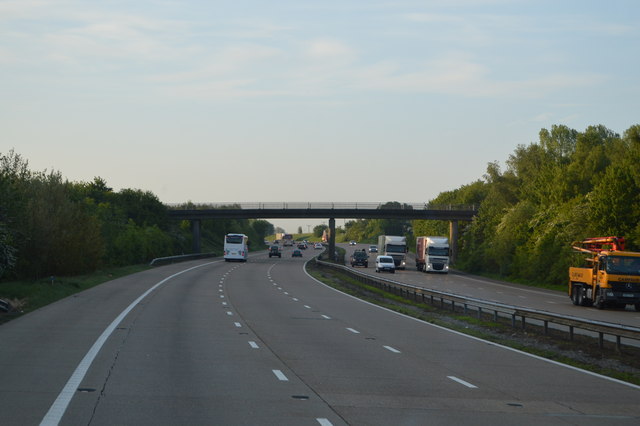
Although Sandway is a small village, it benefits from its proximity to larger towns and cities. The nearby town of Maidstone provides residents with access to a wide range of amenities, including shopping centers, schools, and healthcare facilities. Additionally, the village is well-connected by road, with the A20 passing nearby, providing easy access to London and other major cities.
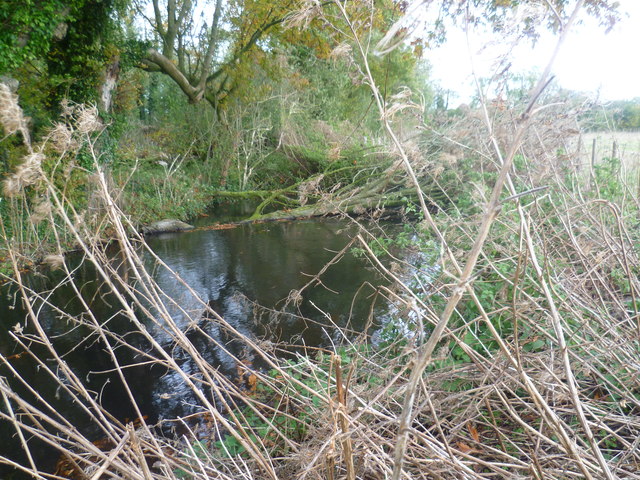
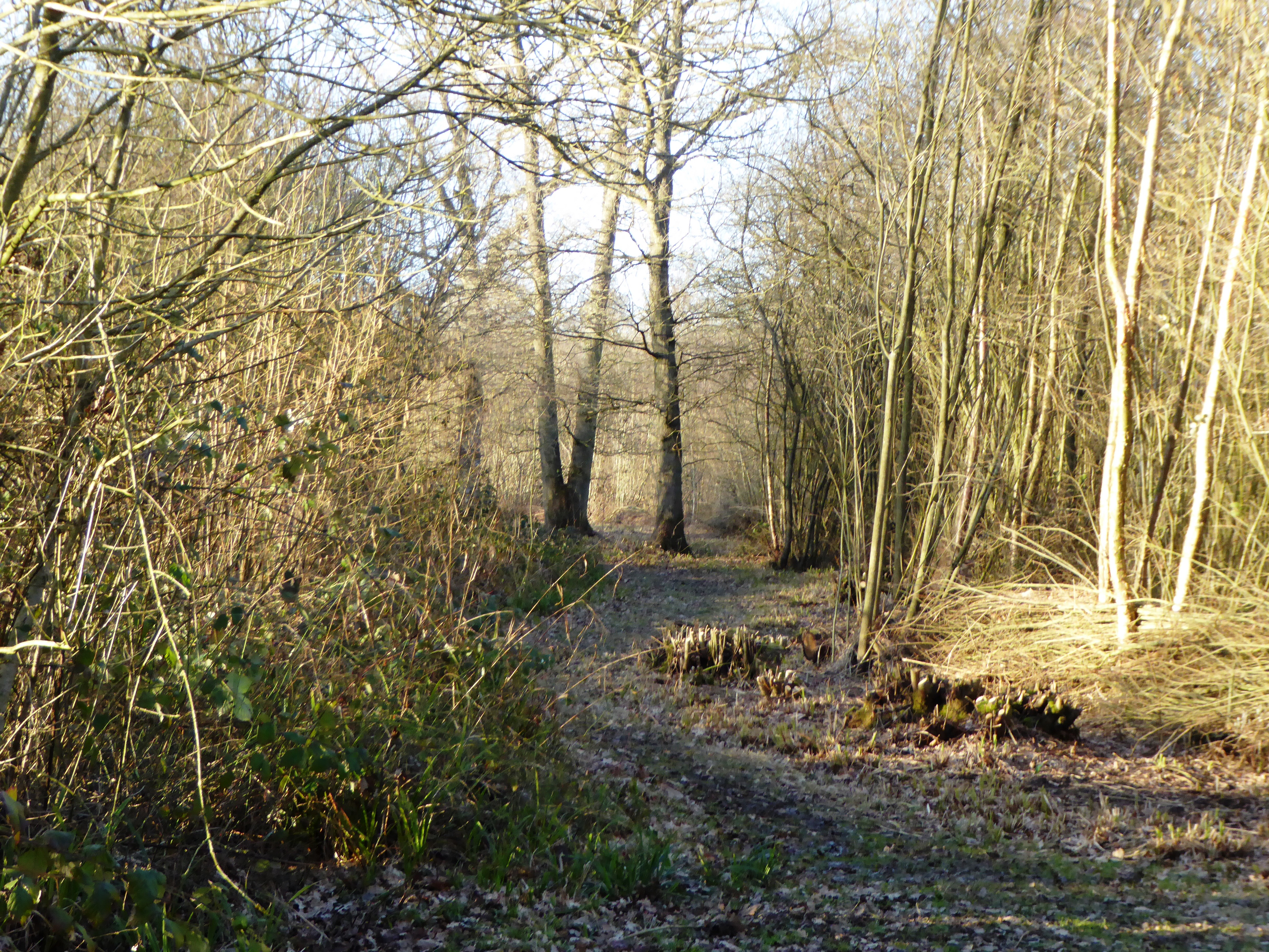
The surrounding countryside offers plenty of opportunities for outdoor activities, with several footpaths and bridleways crisscrossing the area. The village is also close to the beautiful Kent Downs, an Area of Outstanding Natural Beauty, which is popular among nature lovers and hikers.
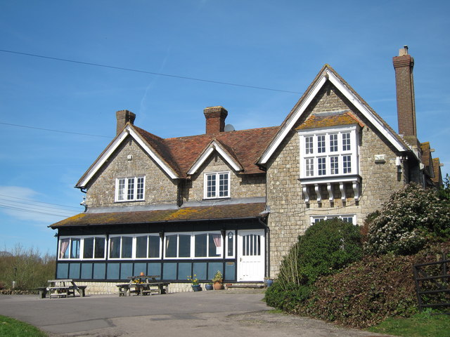
In terms of community facilities, Sandway has a local pub, providing a social hub for residents to gather and enjoy a drink or a meal. The village also benefits from a well-maintained village green, which hosts various events throughout the year, fostering a sense of community spirit.
Overall, Sandway is a charming village that offers a peaceful and idyllic setting, while still providing easy access to nearby amenities and attractions.
If you have any feedback on the listing, please let us know in the comments section below.
Sandway Images
Images are sourced within 2km of 51.227339/0.699069 or Grid Reference TQ8851. Thanks to Geograph Open Source API. All images are credited.


Sandway is located at Grid Ref: TQ8851 (Lat: 51.227339, Lng: 0.699069)
Administrative County: Kent
District: Maidstone
Police Authority: Kent
What 3 Words
///infinite.droplet.lilac. Near Lenham, Kent
Nearby Locations
Related Wikis

Sandway
Sandway is a hamlet about one mile (1.6 km) to the SW of Lenham in the Maidstone district of Kent, England. The population is included in the civil parish...
Kiln Wood
Kiln Wood is a 6-hectare (15-acre) nature reserve south of Lenham in Kent. It is managed by Kent Wildlife Trust.This wood is mainly oak, hornbeam and...

Platt's Heath
Platts Heath is a hamlet in the civil parish of Lenham, Kent, England. It is also the source of the River Len, which flows in a westerly direction to join...
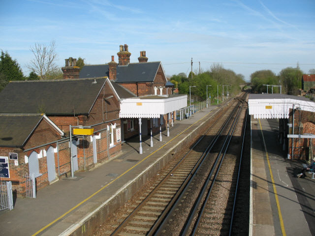
Lenham railway station
Lenham railway station serves Lenham in Kent, England. It is 49 miles 11 chains (79.1 km) down the line from London Victoria. The station, and all trains...
The Lenham School
The Lenham School is a coeducational secondary school and sixth form located in Lenham, Kent, England. It opened in 1952, as Swadelands School, and provides...
Boughton Malherbe
Boughton Malherbe ( BAW-tən MAL-ər-bee) is a village and civil parish in the Maidstone district of Kent, England, equidistant between Maidstone and Ashford...
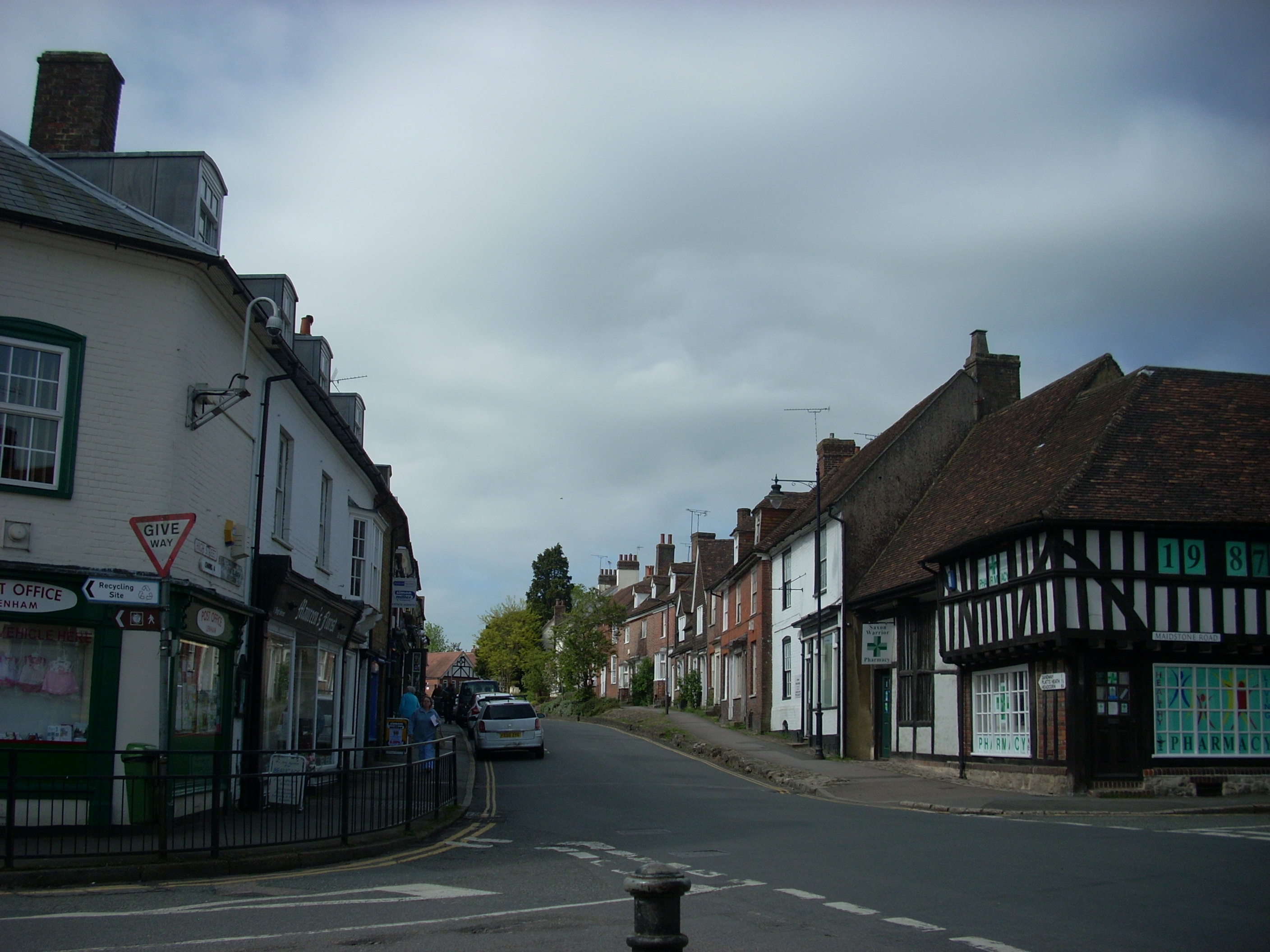
Lenham
Lenham is a market village and civil parish in Kent situated on the southern edge of the North Downs, 9 miles (14 km) east of Maidstone. The picturesque...

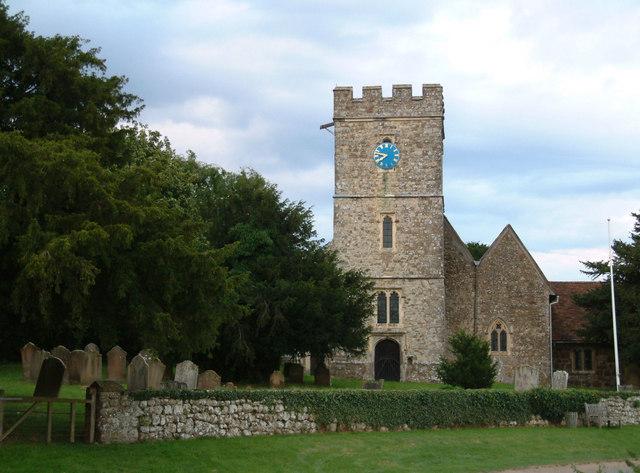
St Mary's Church, Lenham
St Mary's is a parish church in Lenham, Kent begun in the 12th century with additions in the next three centuries. It is a Grade I listed building. �...
Nearby Amenities
Located within 500m of 51.227339,0.699069Have you been to Sandway?
Leave your review of Sandway below (or comments, questions and feedback).