Baldock Wood
Wood, Forest in Kent Maidstone
England
Baldock Wood

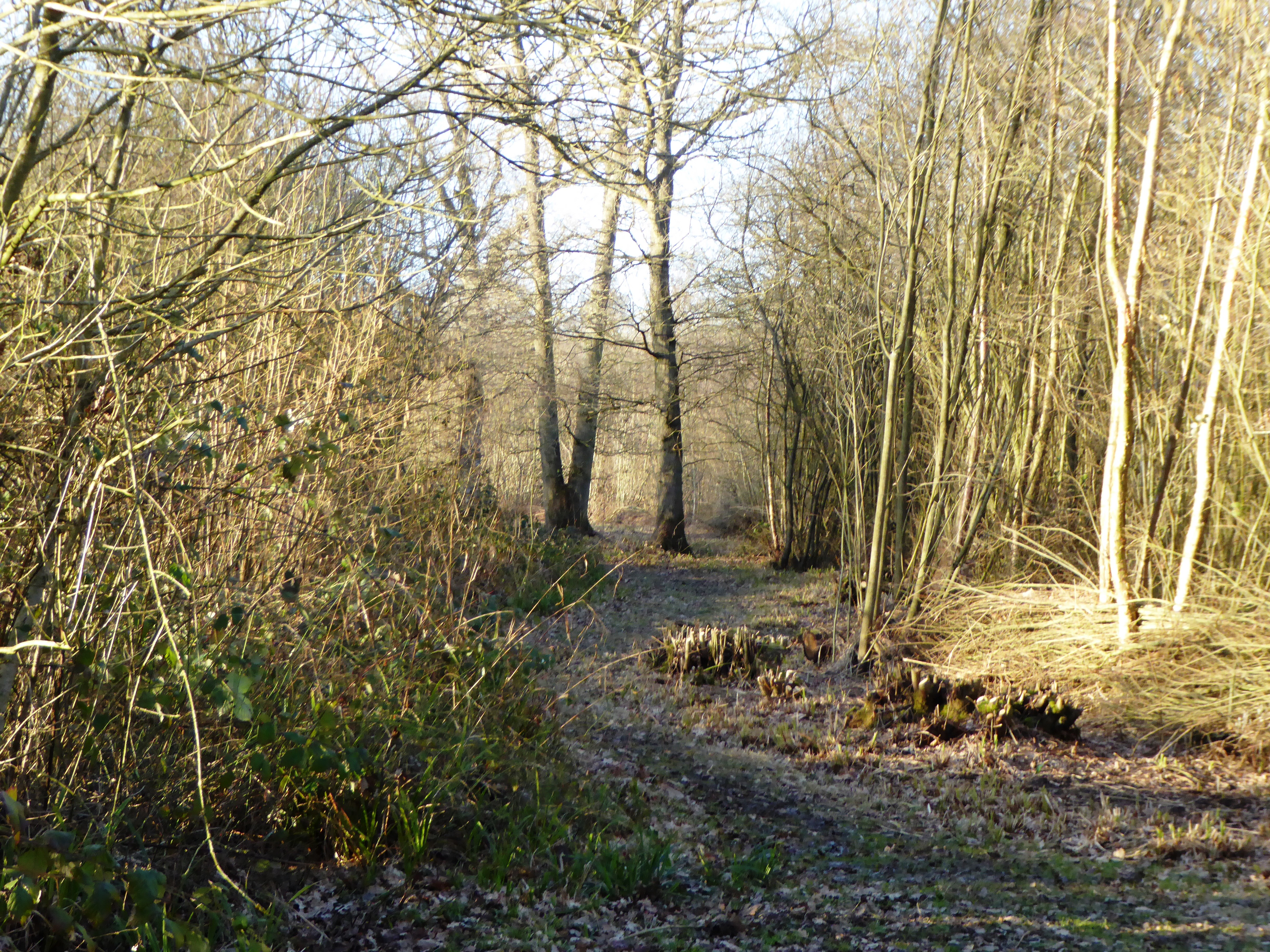
Baldock Wood, located in Kent, England, is a picturesque woodland area that offers visitors a serene and tranquil experience. Covering an area of approximately 50 hectares, the wood is a mix of ancient and secondary woodland, with parts of it dating back hundreds of years.
The wood is home to a diverse range of plant and animal species, thanks to its varied habitat. It boasts an impressive array of native trees, including oak, birch, beech, and holly, which provide a rich canopy and shelter for an abundance of wildlife. Bluebells carpet the forest floor during the spring, creating a stunning display of vibrant colors.
Nature enthusiasts and birdwatchers will find Baldock Wood a haven for various bird species, such as woodpeckers, tawny owls, and chiffchaffs. It is also a habitat for small mammals, including badgers, foxes, and squirrels, which thrive in the wood's diverse ecosystem.
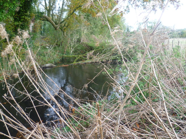
The wood offers a network of well-maintained footpaths, allowing visitors to explore its natural beauty. Walking through the wood, one can discover hidden glades, bubbling streams, and peaceful ponds. The wood is a popular destination for hikers, joggers, and dog walkers, who can enjoy the tranquility and fresh air.
Baldock Wood is managed by the local authorities, who ensure its preservation and conservation. They organize educational events and guided walks, providing visitors with an opportunity to learn about the wood's history, flora, and fauna.
Overall, Baldock Wood in Kent offers a serene retreat for nature lovers and is an important ecological asset. Its diverse habitat, tranquil atmosphere, and well-maintained trails make it an ideal destination for outdoor enthusiasts and those seeking a peaceful escape.
If you have any feedback on the listing, please let us know in the comments section below.
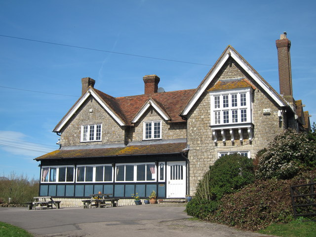
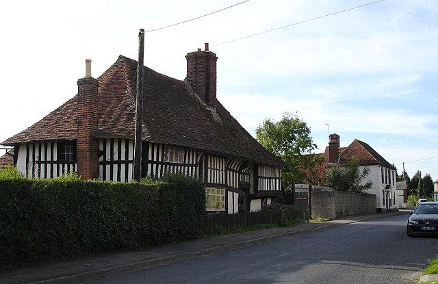
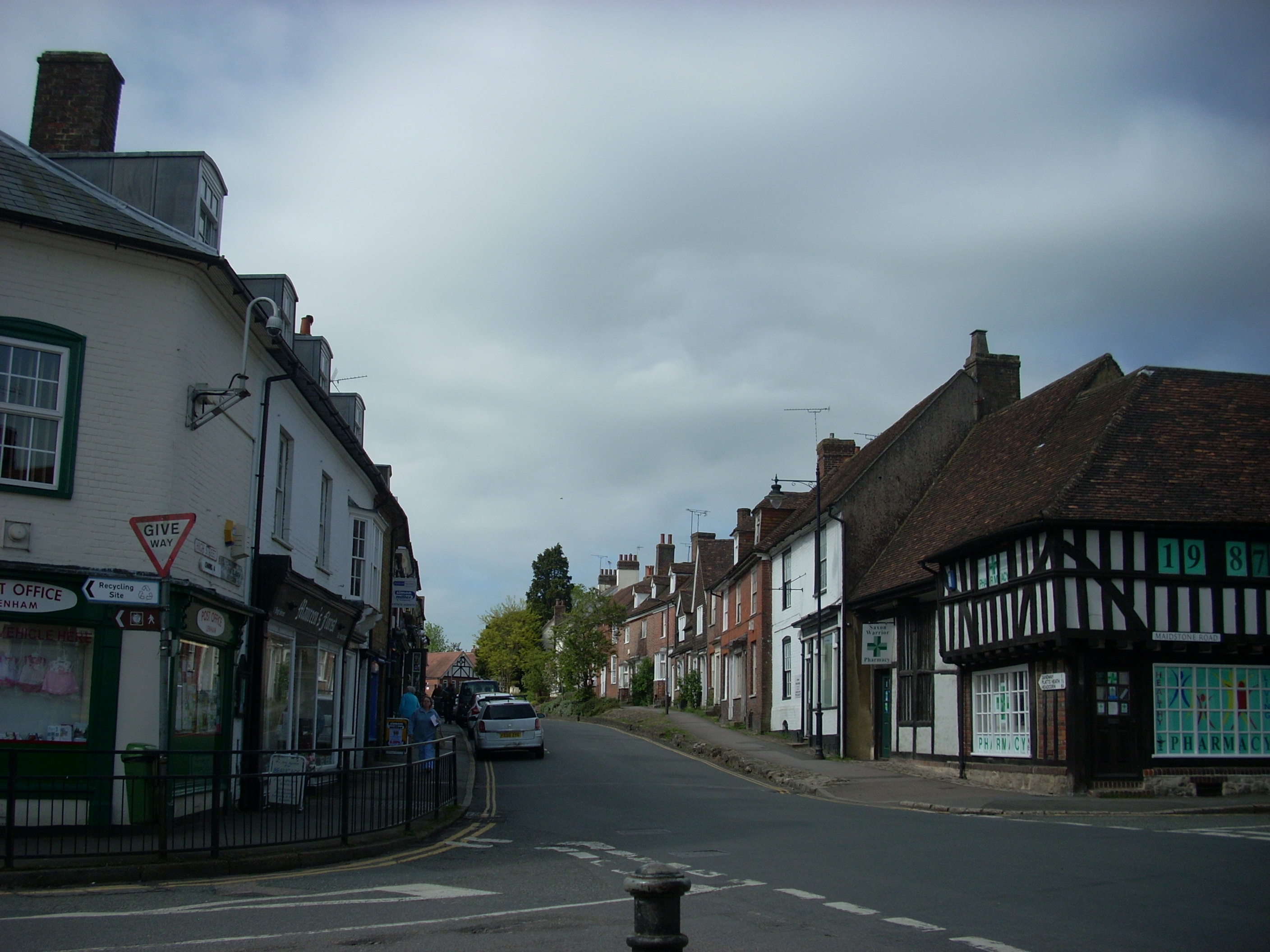
Baldock Wood Images
Images are sourced within 2km of 51.233306/0.69684493 or Grid Reference TQ8851. Thanks to Geograph Open Source API. All images are credited.


Baldock Wood is located at Grid Ref: TQ8851 (Lat: 51.233306, Lng: 0.69684493)
Administrative County: Kent
District: Maidstone
Police Authority: Kent
What 3 Words
///shipwreck.abandons.emptied. Near Lenham, Kent
Nearby Locations
Related Wikis
Kiln Wood
Kiln Wood is a 6-hectare (15-acre) nature reserve south of Lenham in Kent. It is managed by Kent Wildlife Trust.This wood is mainly oak, hornbeam and...

Sandway
Sandway is a hamlet about one mile (1.6 km) to the SW of Lenham in the Maidstone district of Kent, England. The population is included in the civil parish...
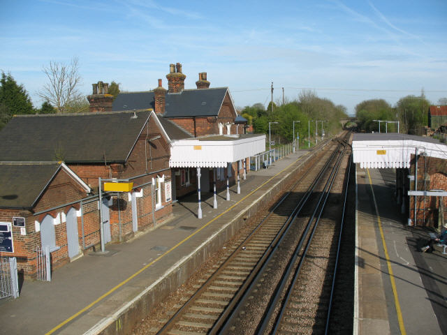
Lenham railway station
Lenham railway station serves Lenham in Kent, England. It is 49 miles 11 chains (79.1 km) down the line from London Victoria. The station, and all trains...
The Lenham School
The Lenham School is a coeducational secondary school and sixth form located in Lenham, Kent, England. It opened in 1952, as Swadelands School, and provides...
Platt's Heath
Platts Heath is a hamlet in the civil parish of Lenham, Kent, England. It is also the source of the River Len, which flows in a westerly direction to join...
Marley, Maidstone
Marley is a hamlet in the civil parish of Harrietsham that, in turn, forms part of the district of Maidstone in the English county of Kent. == External... ==
The Old House, Harrietsham
The Old House is a former farmhouse in Harrietsham, Kent, England, built around 1500 and described as "unusually well preserved".The house is a two-storey...
Lenham
Lenham is a market village and civil parish in Kent situated on the southern edge of the North Downs, 9 miles (14 km) east of Maidstone. The picturesque...
Nearby Amenities
Located within 500m of 51.233306,0.69684493Have you been to Baldock Wood?
Leave your review of Baldock Wood below (or comments, questions and feedback).