Blackwell
Settlement in Derbyshire Derbyshire Dales
England
Blackwell

Blackwell is a charming village located in the county of Derbyshire, England. Situated just a few miles southwest of the town of Chesterfield, Blackwell is nestled within the picturesque countryside of the East Midlands region. With a population of around 1,500 residents, it exudes a close-knit community atmosphere.
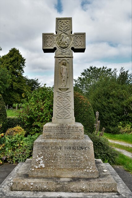
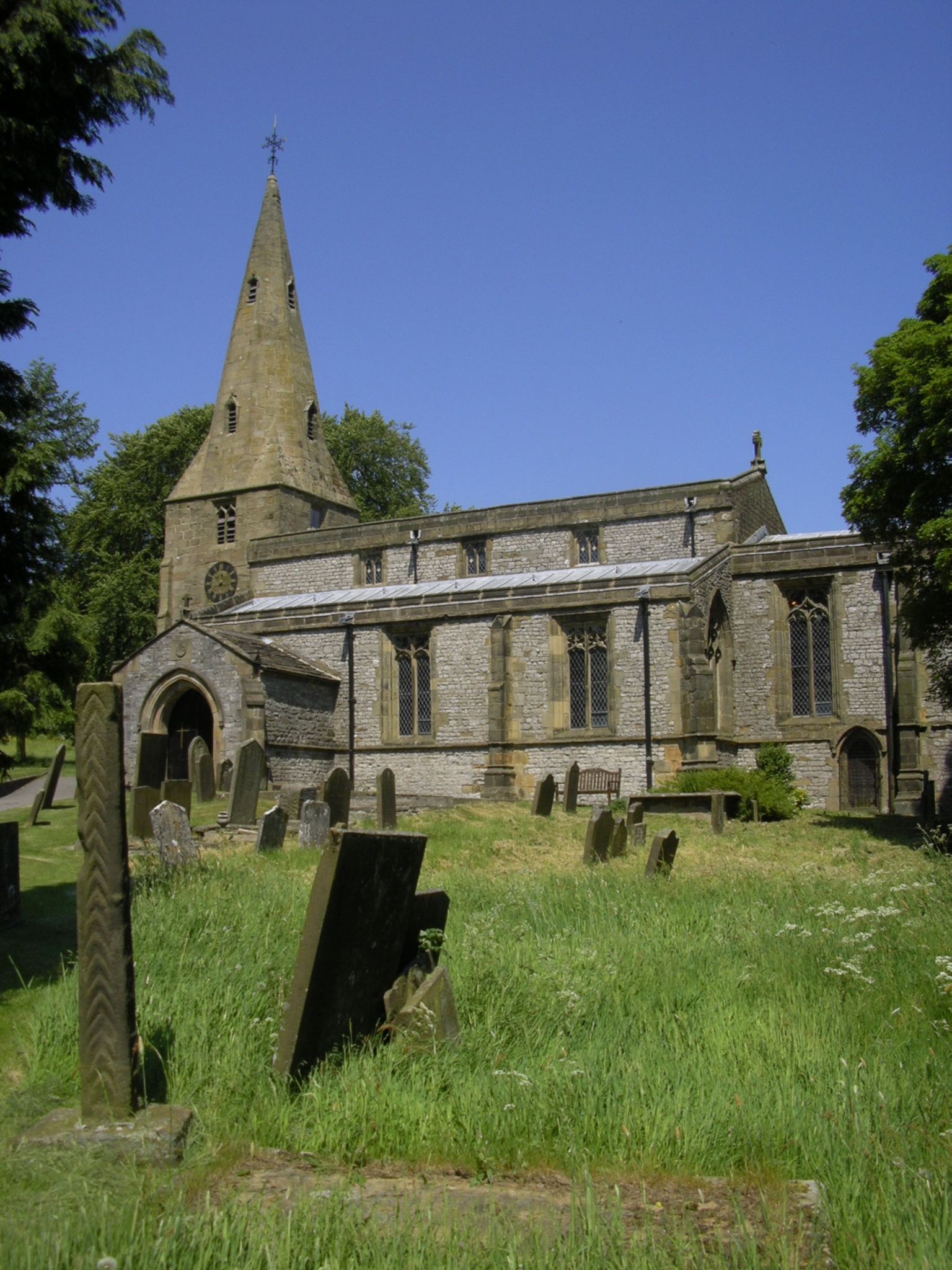
The village boasts a rich history dating back to the Roman times, evidenced by the remains of a Roman fort nearby. Blackwell's historical significance is also reflected in its architecture, with several listed buildings scattered throughout the area. These include St. Werburgh's Church, a beautiful 12th-century structure that stands as a testament to the village's medieval roots.
The surrounding countryside provides ample opportunities for outdoor activities, attracting visitors from both near and far. The nearby Blackwell Wood is a popular spot for nature enthusiasts, offering picturesque walking trails and wildlife sightings. Additionally, the village benefits from its proximity to the stunning Peak District National Park, which is renowned for its breathtaking landscapes and outdoor adventures.
Blackwell offers a range of amenities to cater to the needs of its residents. The village has a primary school, a community center, a local pub, and a small selection of shops and businesses, providing essentials and services to the community. For more extensive shopping and entertainment options, the larger town of Chesterfield is easily accessible.
Overall, Blackwell presents a peaceful and idyllic setting for those seeking a tranquil village lifestyle, with its historical charm, natural beauty, and close community ties.
If you have any feedback on the listing, please let us know in the comments section below.
Blackwell Images
Images are sourced within 2km of 53.245411/-1.8110679 or Grid Reference SK1272. Thanks to Geograph Open Source API. All images are credited.


Blackwell is located at Grid Ref: SK1272 (Lat: 53.245411, Lng: -1.8110679)
Administrative County: Derbyshire
District: Derbyshire Dales
Police Authority: Derbyshire
What 3 Words
///store.nurse.promoting. Near Tideswell, Derbyshire
Nearby Locations
Related Wikis

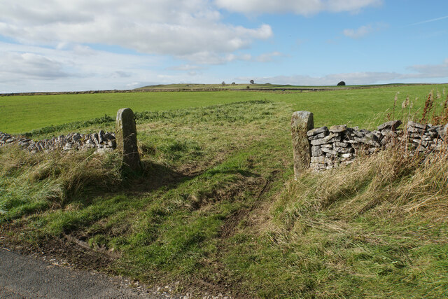
Blackwell in the Peak
Blackwell is a village in the Derbyshire Dales local government district of Derbyshire, England, on the A6 main road between Bakewell and Buxton.It is...

Calton Hill, Derbyshire
Calton Hill is a Site of Special Scientific Interest in Derbyshire, England, showing Olivine Diorite magma chamber.It is the site of an extinct volcano...
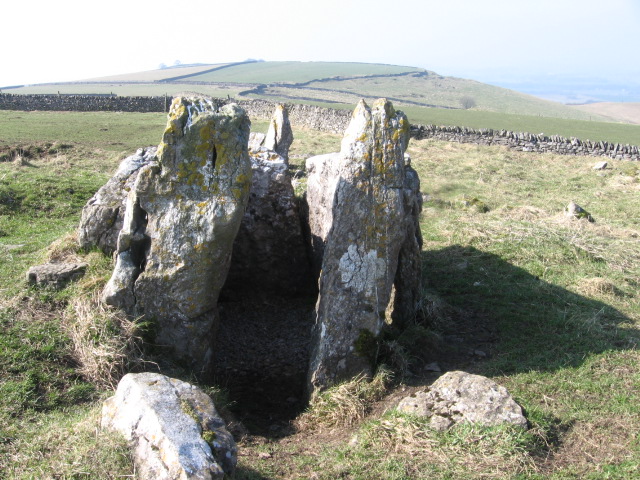
Five Wells
Five Wells is a Neolithic chambered tomb between the villages of Chelmorton and Taddington on Taddington Moor in the Derbyshire Peak District in England...
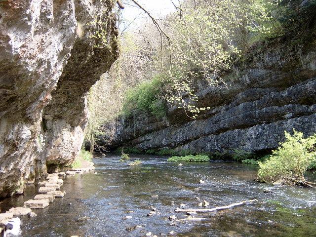
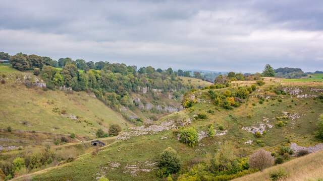
Chee Dale
Chee Dale is a steep-sided gorge on the River Wye near Buxton, Derbyshire, in the Peak District of England. The Wye valley continues upstream towards Buxton...

Priestcliffe
Priestcliffe is a hamlet in Derbyshire, England. The hamlet falls within the civil parish of Taddington. It is about 1.2 km (or 0.75 miles) north of Taddington...
Taddington
Taddington is a village and civil parish in Derbyshire, England. The population of the civil parish, together with neighbouring Blackwell in the Peak and...
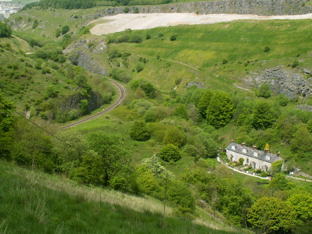
Blackwell Mill
Blackwell Mill is a location in Derbyshire, near to the village of Blackwell near Buxton, but not part of it. There was once a corn mill on the River Wye...
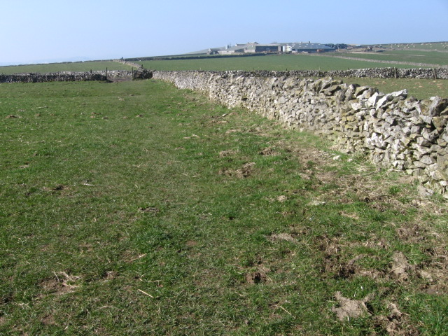
Taddington Moor
Taddington Moor is a limestone hill between the villages of Taddington, Flagg and Chelmorton in the Derbyshire Peak District. The moor is an upland farming...
Nearby Amenities
Located within 500m of 53.245411,-1.8110679Have you been to Blackwell?
Leave your review of Blackwell below (or comments, questions and feedback).