Blackwell
Settlement in Derbyshire Bolsover
England
Blackwell
Blackwell is a small village located in the district of Bolsover, within the county of Derbyshire, England. Situated approximately 8 miles south of Chesterfield and 18 miles north of Derby, it is nestled in the picturesque countryside of the East Midlands region.
With a population of around 2,000 residents, Blackwell maintains its rural charm while offering easy access to nearby urban centers. The village is known for its peaceful atmosphere and close-knit community, making it an ideal place for families and those seeking a slower pace of life.
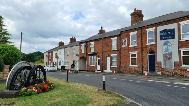
Blackwell boasts a range of amenities to cater to its residents' needs. These include a primary school, a village hall, a post office, and a convenience store. The village also benefits from excellent transport links, with regular bus services connecting it to surrounding towns and cities.
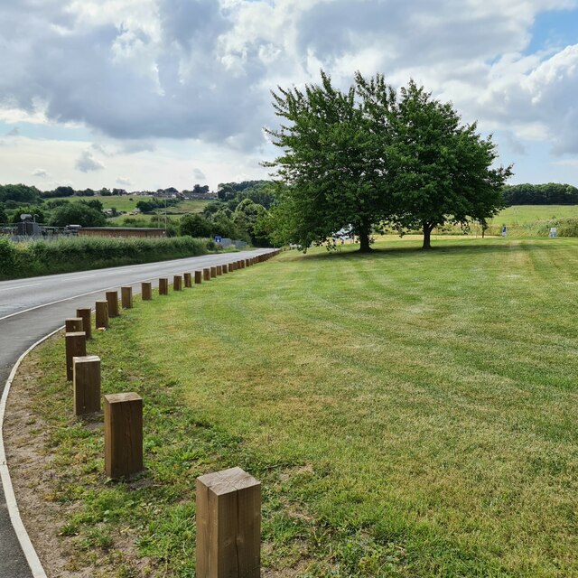
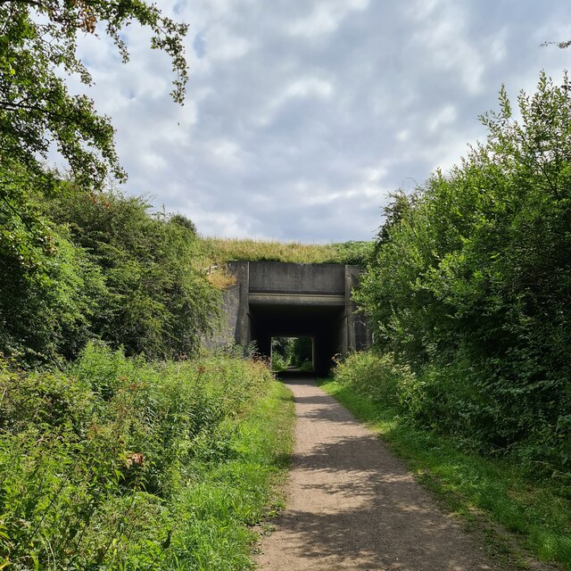
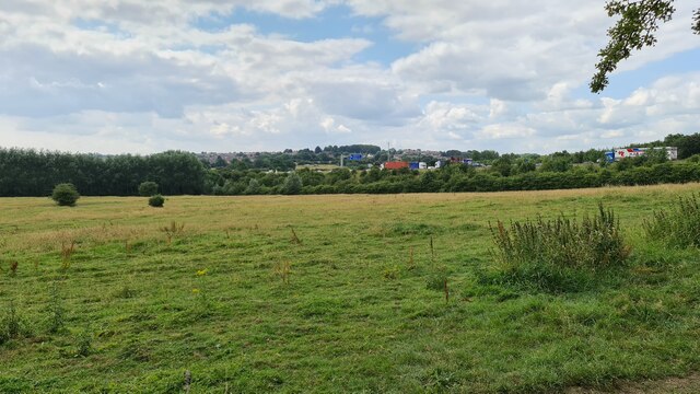
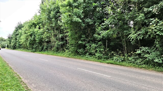
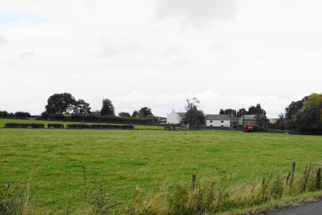
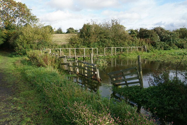
Nature enthusiasts are drawn to Blackwell for its stunning countryside and abundance of outdoor activities. The village is surrounded by beautiful woodlands and fields, making it perfect for walking, cycling, and exploring the great outdoors. The nearby Blackwell Mill Cycle Hire provides an opportunity for visitors to rent bicycles and embark on scenic rides along the nearby trails.
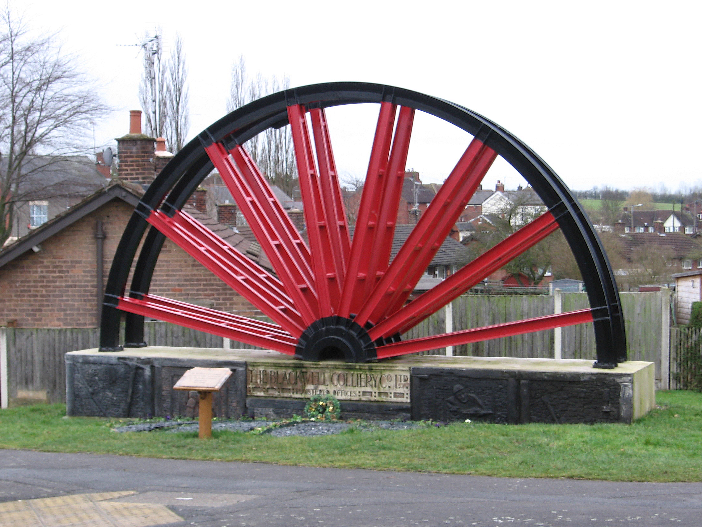
For history enthusiasts, Blackwell offers a glimpse into the past with its historic landmarks. The village is home to the Grade I listed Blackwell Hall, a 17th-century mansion that now serves as a nursing home. Additionally, the nearby Hardwick Hall, a magnificent Elizabethan country house, attracts visitors from far and wide.
In conclusion, Blackwell, Derbyshire provides a tranquil and welcoming environment for residents and visitors alike. Its idyllic setting, range of amenities, and rich history make it a desirable destination for those seeking a peaceful village lifestyle.
If you have any feedback on the listing, please let us know in the comments section below.
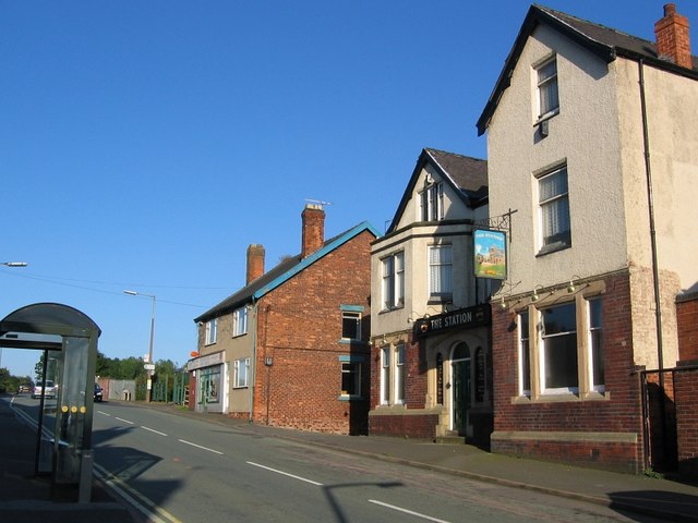
Blackwell Images
Images are sourced within 2km of 53.120051/-1.355782 or Grid Reference SK4358. Thanks to Geograph Open Source API. All images are credited.


Blackwell is located at Grid Ref: SK4358 (Lat: 53.120051, Lng: -1.355782)
Administrative County: Derbyshire
District: Bolsover
Police Authority: Derbyshire
What 3 Words
///aware.ties.chained. Near Blackwell, Derbyshire
Nearby Locations
Related Wikis
Blackwell, Bolsover
Blackwell is a village in Derbyshire, England. The population of the civil parish at the 2011 census was 4,389. It is one of the four villages that make...

Miners Welfare Ground
The Miners Welfare Ground is a cricket ground in Blackwell, England that Derbyshire CCC used between 1909 and 1913. The ground hosted 7 first-class matches...
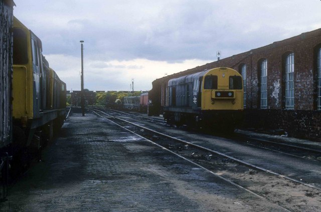
Westhouses Locomotive Depot
Westhouses Locomotive Depot was a traction maintenance depot located in Westhouses, Derbyshire, England. The depot's TOPS code was WT. == History == From...

Westhouses and Blackwell railway station
Westhouses and Blackwell railway station is a former railway station in Westhouses, and Blackwell, Derbyshire on the Derbyshire border west of Mansfield...
Westhouses
Westhouses is a village within Derbyshire, situated close to the town of Alfreton. It is in the Bolsover district of the county. It is in the civil parish...

Newton, Derbyshire
Newton is a village in the Bolsover district of Derbyshire, England, about a mile south of Tibshelf. Population details are included in the civil parish...
South Normanton F.C.
South Normanton Football Club was a football club based in South Normanton, Derbyshire. == History == The club was formed as a feeder club of South Normanton...
South Normanton Athletic F.C.
South Normanton Athletic Football Club is a football club based in South Normanton, near Alfreton, Derbyshire, England. They play at Lees Lane. == History... ==
Nearby Amenities
Located within 500m of 53.120051,-1.355782Have you been to Blackwell?
Leave your review of Blackwell below (or comments, questions and feedback).