Sand Side
Settlement in Lancashire South Lakeland
England
Sand Side
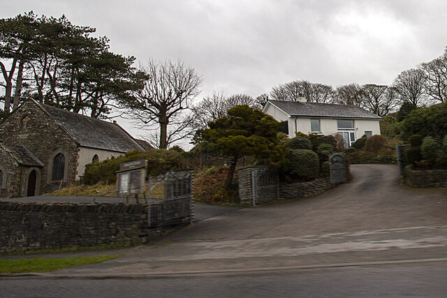
Sand Side is a small coastal hamlet located in Lancashire, England. Situated on the Fylde Peninsula, it lies between the cities of Blackpool and Fleetwood. With a population of around 250 residents, Sand Side offers a tranquil and picturesque setting for those seeking a peaceful escape from city life.
The hamlet is known for its stunning sandy beach, which stretches for miles along the coastline. The beach is a popular destination for locals and tourists alike, offering opportunities for relaxing walks, sunbathing, and various water-based activities such as swimming and sailing.
Sand Side boasts a rich maritime history, with remnants of its fishing heritage still evident today. The local fishing industry has declined in recent decades, but the area maintains a charming and traditional atmosphere, with small fishing boats bobbing in the harbor.
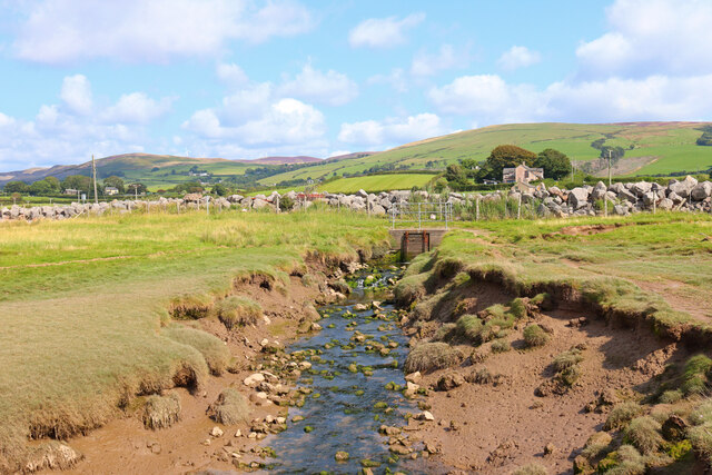
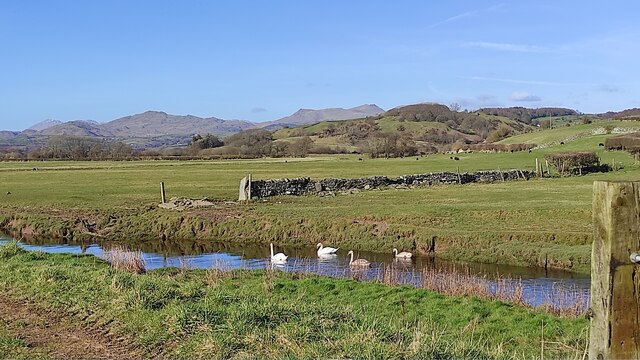
The hamlet is surrounded by beautiful natural landscapes, including sand dunes, salt marshes, and gentle rolling hills. It is a haven for birdwatchers, as the nearby Wyre Estuary is home to a variety of bird species, including pink-footed geese and oystercatchers.
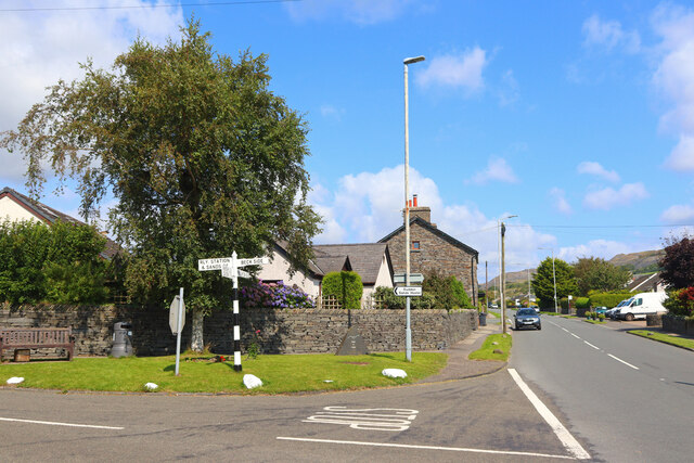
Despite its small size, Sand Side offers a range of amenities for residents and visitors. There are a handful of cafes, pubs, and shops, providing essential services and local products. The nearby towns of Blackpool and Fleetwood offer a wider range of amenities, including supermarkets, restaurants, and entertainment options.
Overall, Sand Side is a charming coastal hamlet that offers a peaceful retreat for nature lovers and those seeking a slower pace of life. With its beautiful beach, rich history, and stunning natural surroundings, it is a hidden gem on the Lancashire coastline.
If you have any feedback on the listing, please let us know in the comments section below.
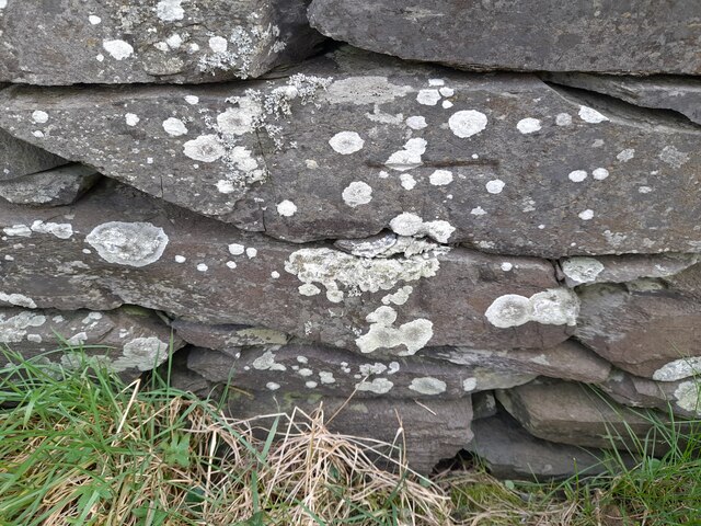
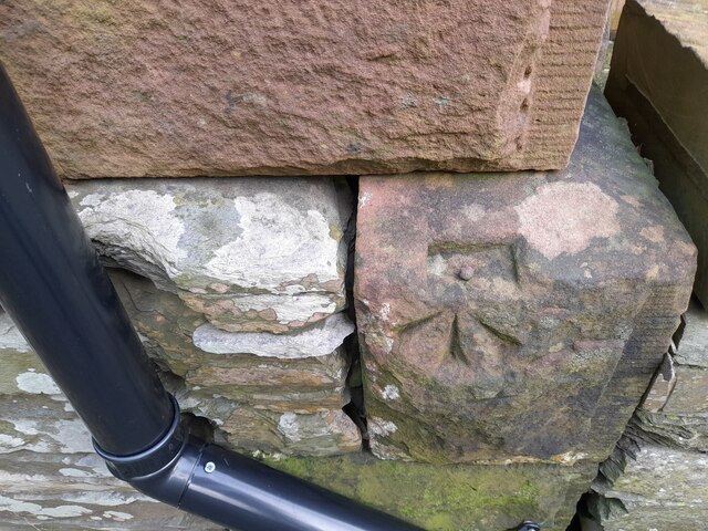
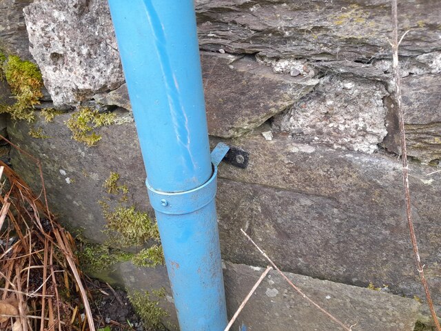
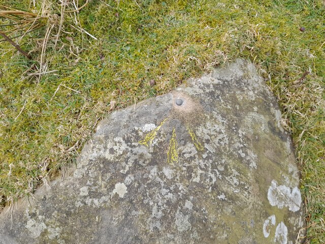
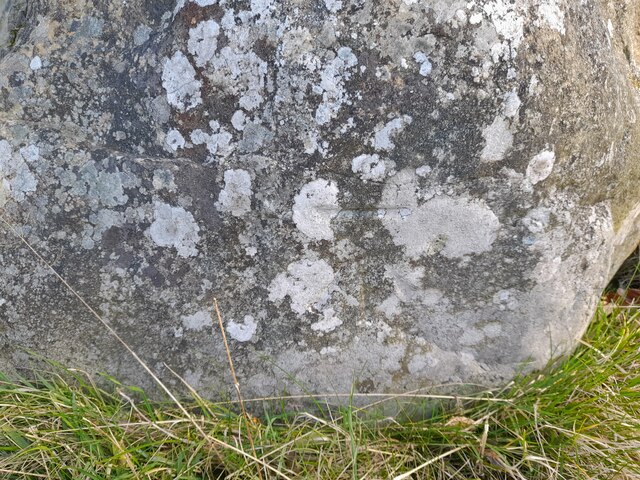
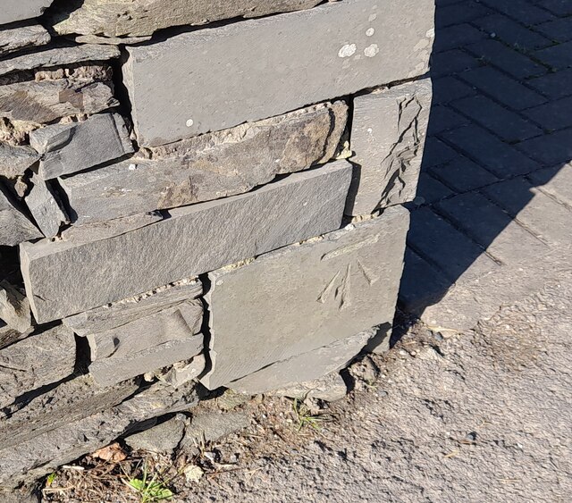
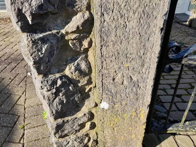
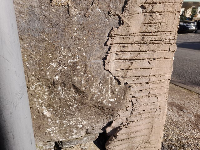
Sand Side Images
Images are sourced within 2km of 54.23224/-3.1847234 or Grid Reference SD2282. Thanks to Geograph Open Source API. All images are credited.


Sand Side is located at Grid Ref: SD2282 (Lat: 54.23224, Lng: -3.1847234)
Administrative County: Cumbria
District: South Lakeland
Police Authority: Cumbria
What 3 Words
///rewarding.harmony.hiring. Near Askam in Furness, Cumbria
Nearby Locations
Related Wikis

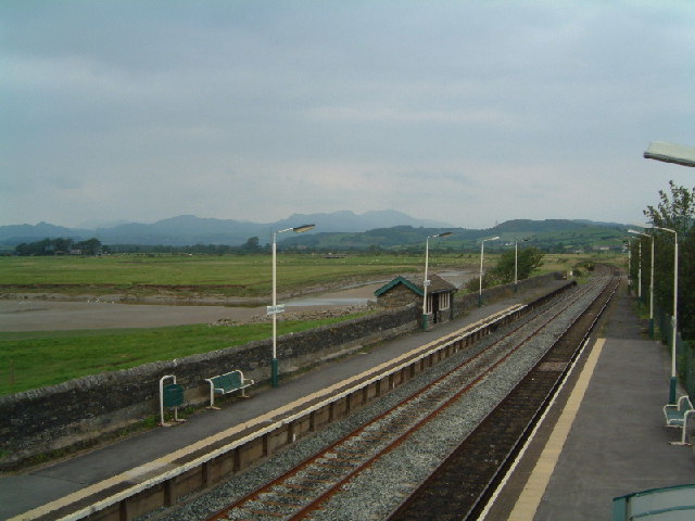
Kirkby-in-Furness railway station
Kirkby-in-Furness is a railway station on the Cumbrian Coast Line, which runs between Carlisle and Barrow-in-Furness. The station, situated 9+1⁄4 miles...

Kirkby-in-Furness
Kirkby-in-Furness, generally referred to simply as Kirkby locally, is a village that is the major part of the parish of Kirkby Ireleth in the Furness district...

Kirkby Ireleth
Kirkby Ireleth is a civil parish in the South Lakeland district of the English county of Cumbria. It includes the villages of Grizebeck and Kirkby-in...

Angerton, South Lakeland
Angerton is a civil parish in the Westmorland and Furness district of the ceremonial county of Cumbria, England, historically part of the Furness portion...
Nearby Amenities
Located within 500m of 54.23224,-3.1847234Have you been to Sand Side?
Leave your review of Sand Side below (or comments, questions and feedback).