Head Crag
Settlement in Lancashire South Lakeland
England
Head Crag
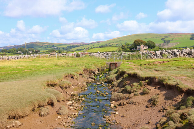
Head Crag is a small village situated in the county of Lancashire, England. Located in the picturesque countryside, it is nestled between the rolling hills and lush green fields, providing a tranquil and idyllic setting for its residents. The village is situated approximately 10 miles northeast of the city of Lancaster and is easily accessible via the nearby A683 road.
The history of Head Crag dates back centuries, with evidence of human habitation in the area since the Roman era. The village is known for its charming stone cottages, which showcase traditional Lancashire architecture and add to its rustic appeal. The community is tight-knit, with a small population that enjoys a peaceful and close-knit lifestyle.
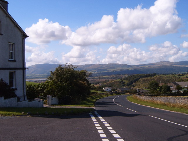
The surrounding landscape offers ample opportunities for outdoor activities such as hiking, cycling, and horse riding. The nearby Forest of Bowland, an Area of Outstanding Natural Beauty, attracts nature enthusiasts who appreciate the diverse flora and fauna that thrive in the region.
Despite its small size, Head Crag boasts a range of amenities to cater to its residents' needs. These include a local pub, a village hall, and a primary school, ensuring the community's social and educational requirements are met. For more extensive shopping and entertainment options, the nearby city of Lancaster offers a wider range of facilities and services.
In summary, Head Crag is a serene village in Lancashire, known for its scenic beauty, historic charm, and close-knit community. It offers a peaceful retreat from the hustle and bustle of urban life, while still providing access to essential amenities and nearby attractions.
If you have any feedback on the listing, please let us know in the comments section below.
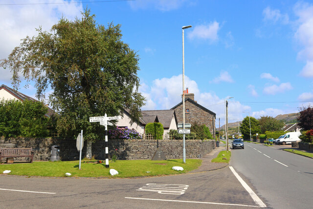
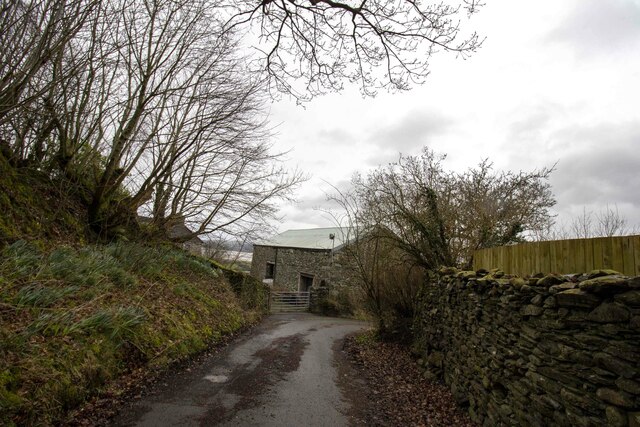
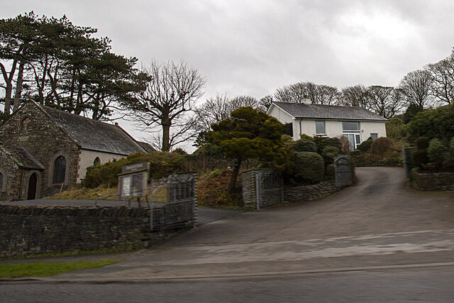
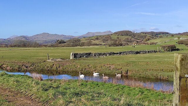
Head Crag Images
Images are sourced within 2km of 54.234828/-3.1837697 or Grid Reference SD2282. Thanks to Geograph Open Source API. All images are credited.

Head Crag is located at Grid Ref: SD2282 (Lat: 54.234828, Lng: -3.1837697)
Administrative County: Cumbria
District: South Lakeland
Police Authority: Cumbria
What 3 Words
///existence.onwards.shrugging. Near Askam in Furness, Cumbria
Nearby Locations
Related Wikis

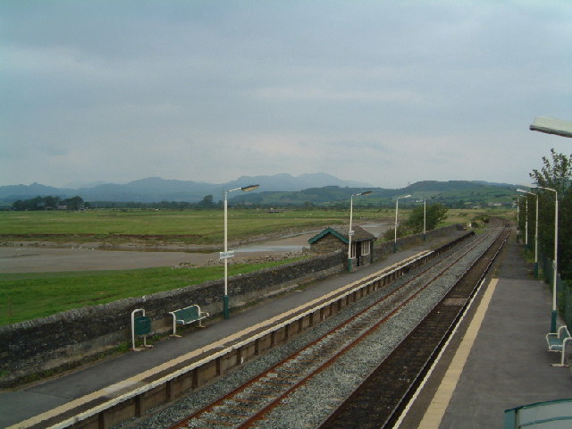
Kirkby-in-Furness railway station
Kirkby-in-Furness is a railway station on the Cumbrian Coast Line, which runs between Carlisle and Barrow-in-Furness. The station, situated 9+1⁄4 miles...
Kirkby-in-Furness
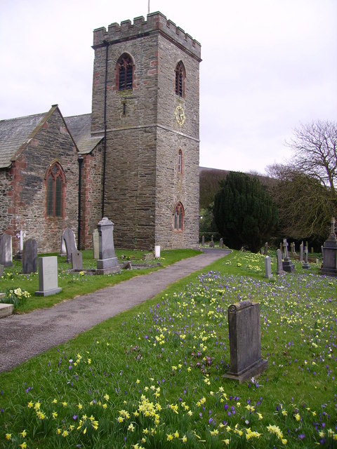
Kirkby-in-Furness, generally referred to simply as Kirkby locally, is a village that is the major part of the parish of Kirkby Ireleth in the Furness district...

Kirkby Ireleth
Kirkby Ireleth is a civil parish in the South Lakeland district of the English county of Cumbria. It includes the villages of Grizebeck and Kirkby-in...

Angerton, South Lakeland
Angerton is a civil parish in the Westmorland and Furness district of the ceremonial county of Cumbria, England, historically part of the Furness portion...

Kirkby Slate Quarries
Kirkby Slate Quarries, formally known as Burlington Slate Quarries, are located near Kirkby-in-Furness in Cumbria, England. The quarries have produced...
Beanthwaite
Beanthwaite is a hamlet in Cumbria, England.

Kirkby Moor
Kirkby Moor is a poorly defined moorland area in southern Cumbria, England, named after the village of Kirkby-in-Furness, but stretching both sides of...

Foxfield, Cumbria
Foxfield is a village on the west coast of Cumbria, England, in the Furness district that was part of Lancashire from 1182 to 1974. It lies on the Duddon...
Nearby Amenities
Located within 500m of 54.234828,-3.1837697Have you been to Head Crag?
Leave your review of Head Crag below (or comments, questions and feedback).