Sand Side Marsh
Coastal Marsh, Saltings in Lancashire South Lakeland
England
Sand Side Marsh
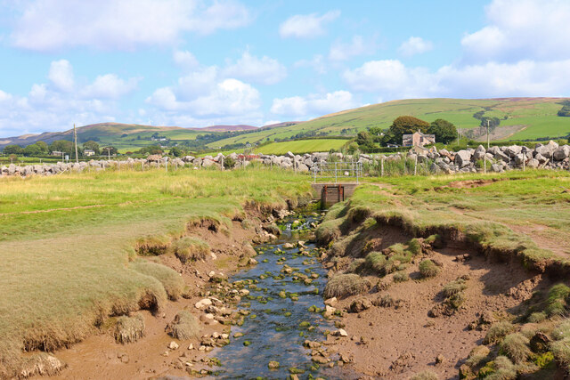
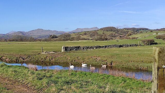
Sand Side Marsh is a coastal marsh located in Lancashire, England. It is a designated Site of Special Scientific Interest (SSSI) and is managed by the Royal Society for the Protection of Birds (RSPB). The marsh is situated adjacent to Morecambe Bay, one of the largest intertidal areas in the United Kingdom.
Covering an area of approximately 500 hectares, Sand Side Marsh is characterized by its diverse and unique ecosystem. The marsh consists of a mixture of saltmarsh, mudflats, sand dunes, and shingle beaches. It supports a rich variety of plant and animal species, making it an important habitat for wildlife.
The saltmarsh at Sand Side Marsh is dominated by a variety of grasses and herbs adapted to the harsh conditions of a salty environment. The mudflats provide feeding grounds for wading birds such as dunlins, redshanks, and curlews, especially during the winter months. The sand dunes and shingle beaches are home to a variety of coastal plants, including sea holly and sea pea.
The marsh also provides an important breeding ground for several bird species, including little terns, ringed plovers, and oystercatchers. It serves as a stopping point for migratory birds during their journeys, attracting species like pink-footed geese and whooper swans.
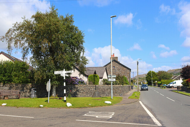
Sand Side Marsh offers opportunities for visitors to explore and appreciate its natural beauty. There are several walking trails and observation points, allowing people to observe the diverse wildlife in its natural habitat. The RSPB also organizes guided tours and educational events to raise awareness about the importance of conserving this unique coastal marsh ecosystem.
If you have any feedback on the listing, please let us know in the comments section below.
Sand Side Marsh Images
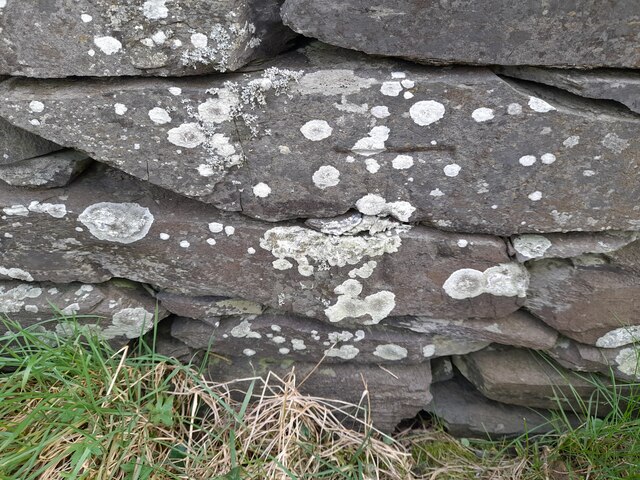
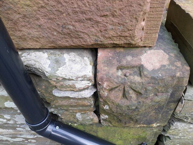
Images are sourced within 2km of 54.229744/-3.1916934 or Grid Reference SD2282. Thanks to Geograph Open Source API. All images are credited.


Sand Side Marsh is located at Grid Ref: SD2282 (Lat: 54.229744, Lng: -3.1916934)
Administrative County: Cumbria
District: South Lakeland
Police Authority: Cumbria
What 3 Words
///trifle.redeeming.bagels. Near Askam in Furness, Cumbria
Nearby Locations
Related Wikis

Kirkby Ireleth
Kirkby Ireleth is a civil parish in the South Lakeland district of the English county of Cumbria. It includes the villages of Grizebeck and Kirkby-in...

Kirkby-in-Furness
Kirkby-in-Furness, generally referred to simply as Kirkby locally, is a village that is the major part of the parish of Kirkby Ireleth in the Furness district...

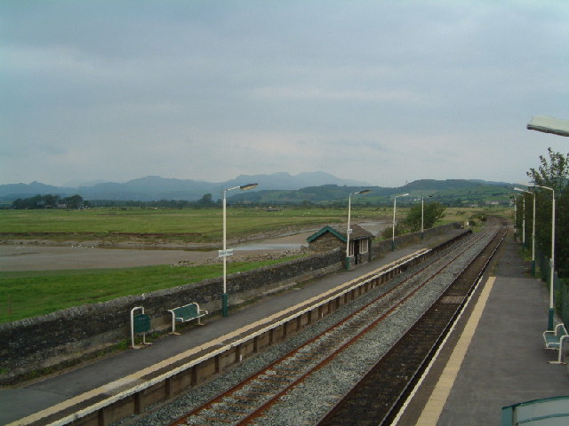
Kirkby-in-Furness railway station
Kirkby-in-Furness is a railway station on the Cumbrian Coast Line, which runs between Carlisle and Barrow-in-Furness. The station, situated 9+1⁄4 miles...

Angerton, South Lakeland
Angerton is a civil parish in the Westmorland and Furness district of the ceremonial county of Cumbria, England, historically part of the Furness portion...
Nearby Amenities
Located within 500m of 54.229744,-3.1916934Have you been to Sand Side Marsh?
Leave your review of Sand Side Marsh below (or comments, questions and feedback).