Blackwall
Settlement in Derbyshire Derbyshire Dales
England
Blackwall
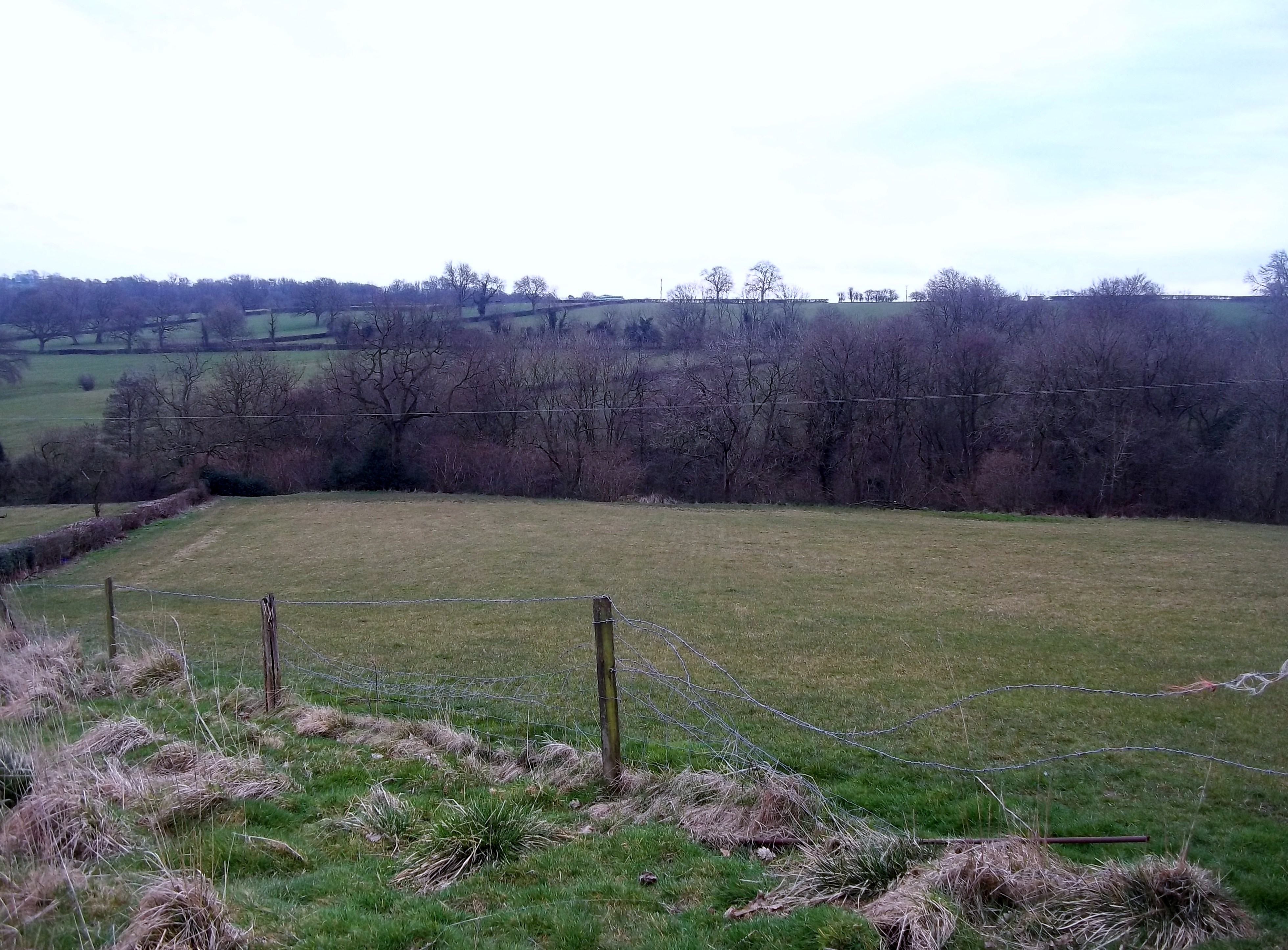
Blackwall is a small village located in the county of Derbyshire, England. Situated in the district of High Peak, it lies approximately 2 miles east of the town of Buxton. The village is nestled within the beautiful Peak District National Park, renowned for its stunning landscapes and picturesque surroundings.
Blackwall is a close-knit community, characterized by its charming and quaint atmosphere. The village is predominantly residential, with a mix of traditional stone-built cottages and more modern houses. The local architecture reflects the area's history, with some buildings dating back to the 17th and 18th centuries.
Despite its small size, Blackwall offers a range of amenities to its residents. There is a local pub, providing a friendly and welcoming gathering place for locals and visitors alike. The village also has a convenience store, ensuring that essential supplies are readily available.
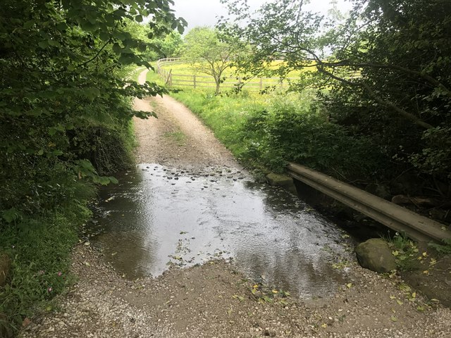
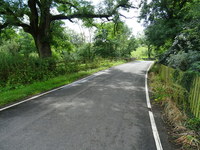
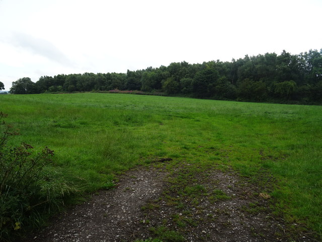
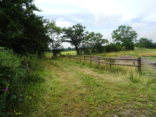
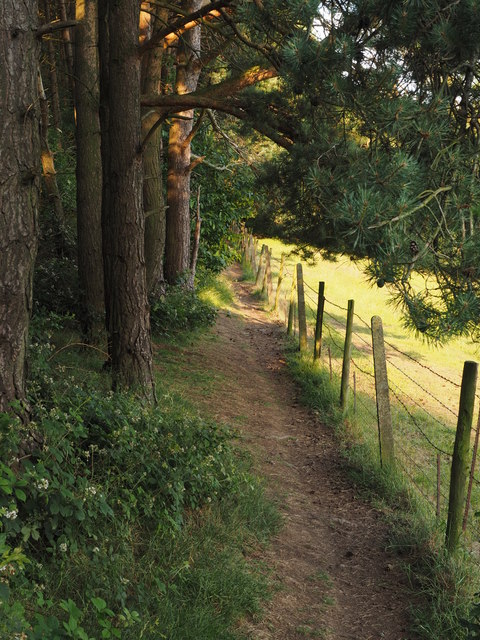
Surrounded by rolling hills and verdant countryside, Blackwall is an ideal location for those who enjoy outdoor activities. The village is a popular starting point for hikers and walkers, with numerous footpaths and trails leading to the Peak District's natural wonders, such as the iconic Kinder Scout and Mam Tor.
For those seeking a peaceful and idyllic lifestyle, Blackwall provides a serene escape from the hustle and bustle of city life. Its natural beauty, community spirit, and proximity to the stunning Peak District make it a truly enchanting place to live or visit.
If you have any feedback on the listing, please let us know in the comments section below.
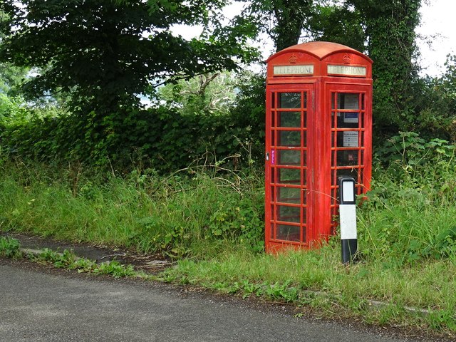
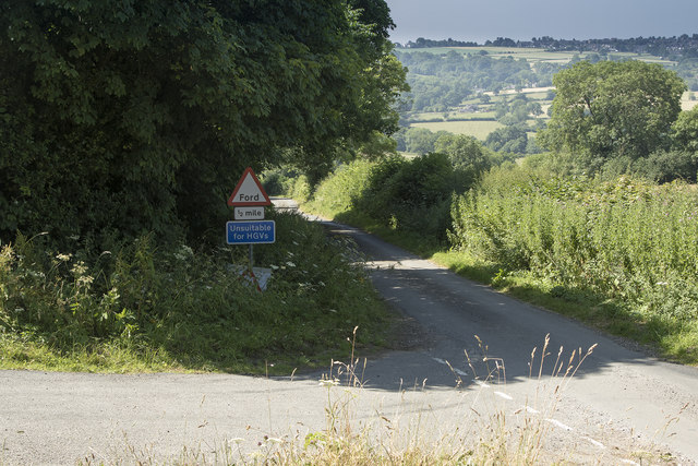
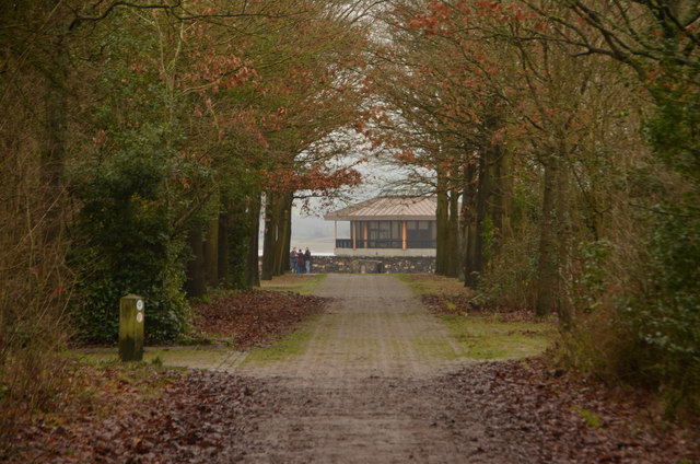
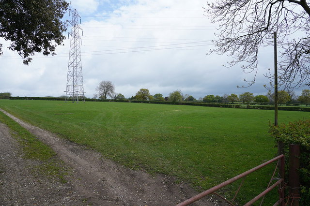
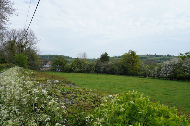
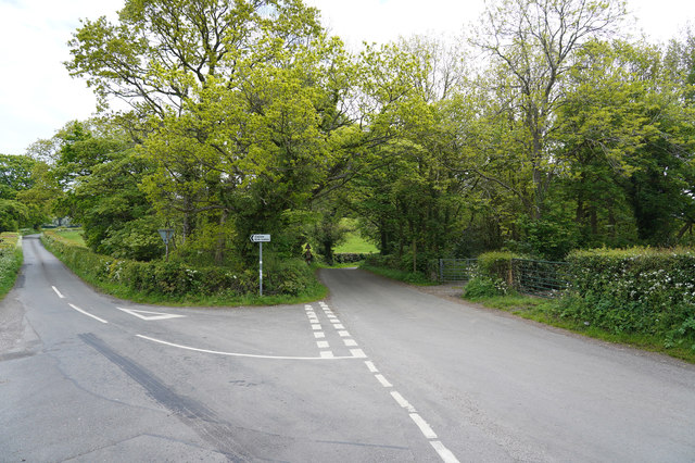
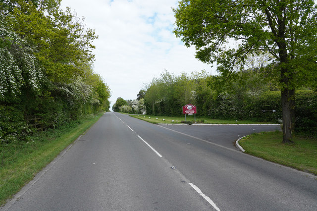
Blackwall Images
Images are sourced within 2km of 53.040346/-1.619644 or Grid Reference SK2549. Thanks to Geograph Open Source API. All images are credited.


Blackwall is located at Grid Ref: SK2549 (Lat: 53.040346, Lng: -1.619644)
Administrative County: Derbyshire
District: Derbyshire Dales
Police Authority: Derbyshire
What 3 Words
///crawled.newspaper.cheese. Near Wirksworth, Derbyshire
Nearby Locations
Related Wikis
Sheep Hills, Derbyshire
Sheep Hills is a place near Biggin in Derbyshire, United Kingdom. It is mainly a rural area, its geographical context is described as farm, grassland and...

Biggin by Hulland
Biggin is a village and civil parish in the Derbyshire Dales district of Derbyshire, England, near Hulland and just off the A517 road. In the 2011 census...

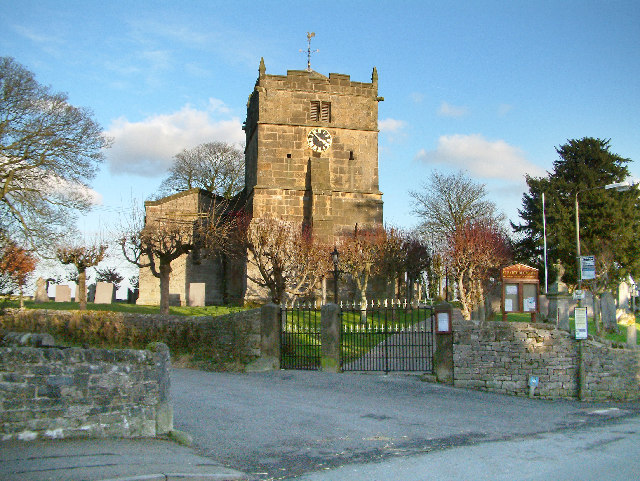
Holy Trinity Church, Kirk Ireton
Holy Trinity Church, Kirk Ireton, is a Grade I listed parish church in the Church of England in Kirk Ireton, Derbyshire. == History == The church dates...

Kirk Ireton
Kirk Ireton is a village and civil parish in Derbyshire, England, 4 miles (6.4 km) southwest of Wirksworth on a hillside near Carsington Water, 700 feet...
Hognaston
Hognaston is a small village and civil parish in Derbyshire, East Midlands, England. Hognaston has a population of approximately 200; including Atlow and...

Carsington Water
Carsington Water is a reservoir, operated by Severn Trent Water, between Wirksworth and Kniveton in Derbyshire, England. The reservoir takes water from...

Hulland Ward
Hulland Ward is a village and civil parish in the Derbyshire Dales district of Derbyshire roughly 6 miles west of Belper, Derbyshire England on the A517...
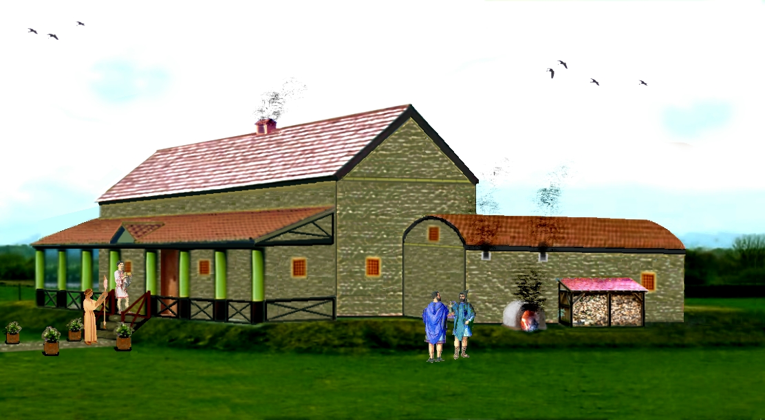
Carsington Roman Villa
The Carsington Roman Villa is a Roman villa at Scow Brook, Carsington near Wirksworth, Derbyshire, England. The site of the villa is currently submerged...
Nearby Amenities
Located within 500m of 53.040346,-1.619644Have you been to Blackwall?
Leave your review of Blackwall below (or comments, questions and feedback).