Blacktown
Settlement in Monmouthshire
Wales
Blacktown

The requested URL returned error: 429 Too Many Requests
If you have any feedback on the listing, please let us know in the comments section below.
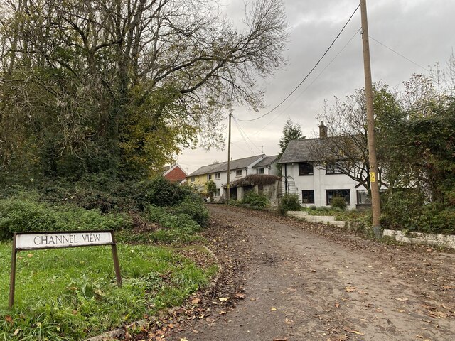
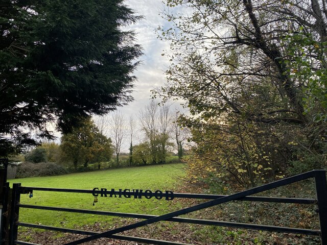
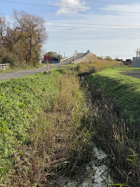
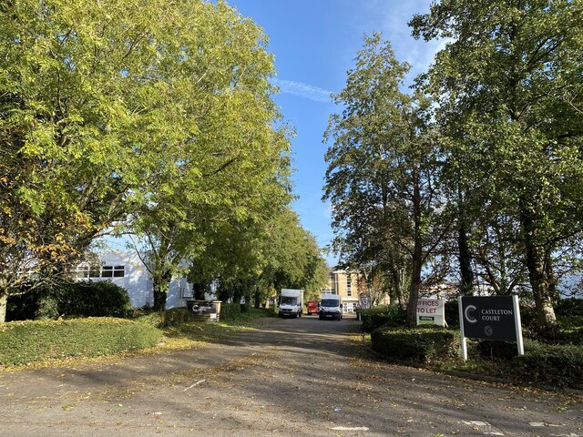
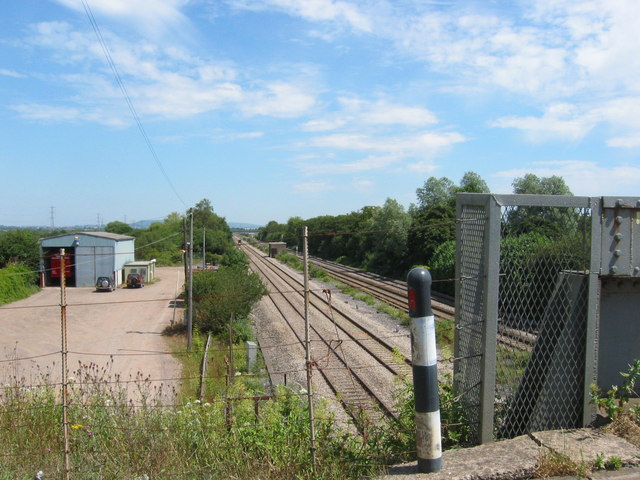
Blacktown Images
Images are sourced within 2km of 51.532159/-3.06955 or Grid Reference ST2582. Thanks to Geograph Open Source API. All images are credited.


Blacktown is located at Grid Ref: ST2582 (Lat: 51.532159, Lng: -3.06955)
Unitary Authority: Newport
Police Authority: Gwent
What 3 Words
///sugar.rehearsed.farms. Near Marshfield, Newport
Nearby Locations
Related Wikis
Marshfield railway station
Marshfield railway station was a former station on the South Wales Main Line which served Marshfield, Newport, in South Wales. == History and description... ==

South East Wales
South East Wales is a loosely defined region of Wales generally corresponding to the preserved counties of Mid Glamorgan, South Glamorgan and Gwent. Highly...
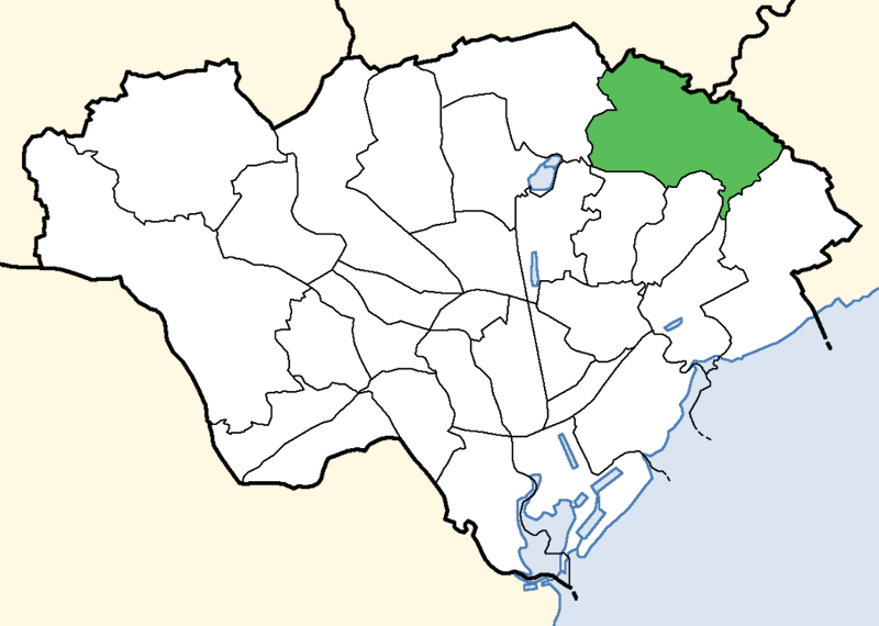
Pontprennau and Old St Mellons
Pontprennau and Old St Mellons (Welsh: Pontprennau a Phentref Llaneirwg) is an electoral ward in Cardiff, Wales. Covering the communities of Old St Mellons...

Cardiff Parkway railway station
Cardiff Parkway (Welsh: Parcffordd Caerdydd) is a planned railway station in the eastern region of Cardiff, and near to the boundary with the neighbouring...
Nearby Amenities
Located within 500m of 51.532159,-3.06955Have you been to Blacktown?
Leave your review of Blacktown below (or comments, questions and feedback).