Blacktop

Settlement in Aberdeenshire

Scotland

Blacktop

Shallow Concrete Trough in a Wall This peculiar low long block is incorporated into a stone wall between fields outside Milltimber, an outer suburb of Aberdeen at its Western side. Whether this was its original purpose is unclear, though it was certainly used as a trough at some point judging by the blue pipes embedded within it. Could it have originally been a section of a long channel designed for water or blood and has been repurposed? Or was it specifically designed to hold water and maintained the water level by some clever cistern tank-like system? It would be interesting to know how long large metal water troughs have been around for at affordable prices. If this is an older version it holds a fraction of the water of today's ones.
Shallow Concrete Trough in a Wall Credit: Ian Dodds

The requested URL returned error: 429 Too Many Requests

If you have any feedback on the listing, please let us know in the comments section below.
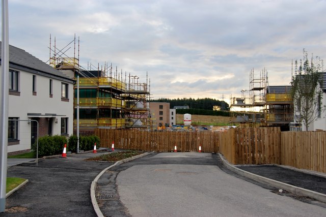
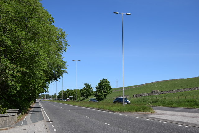
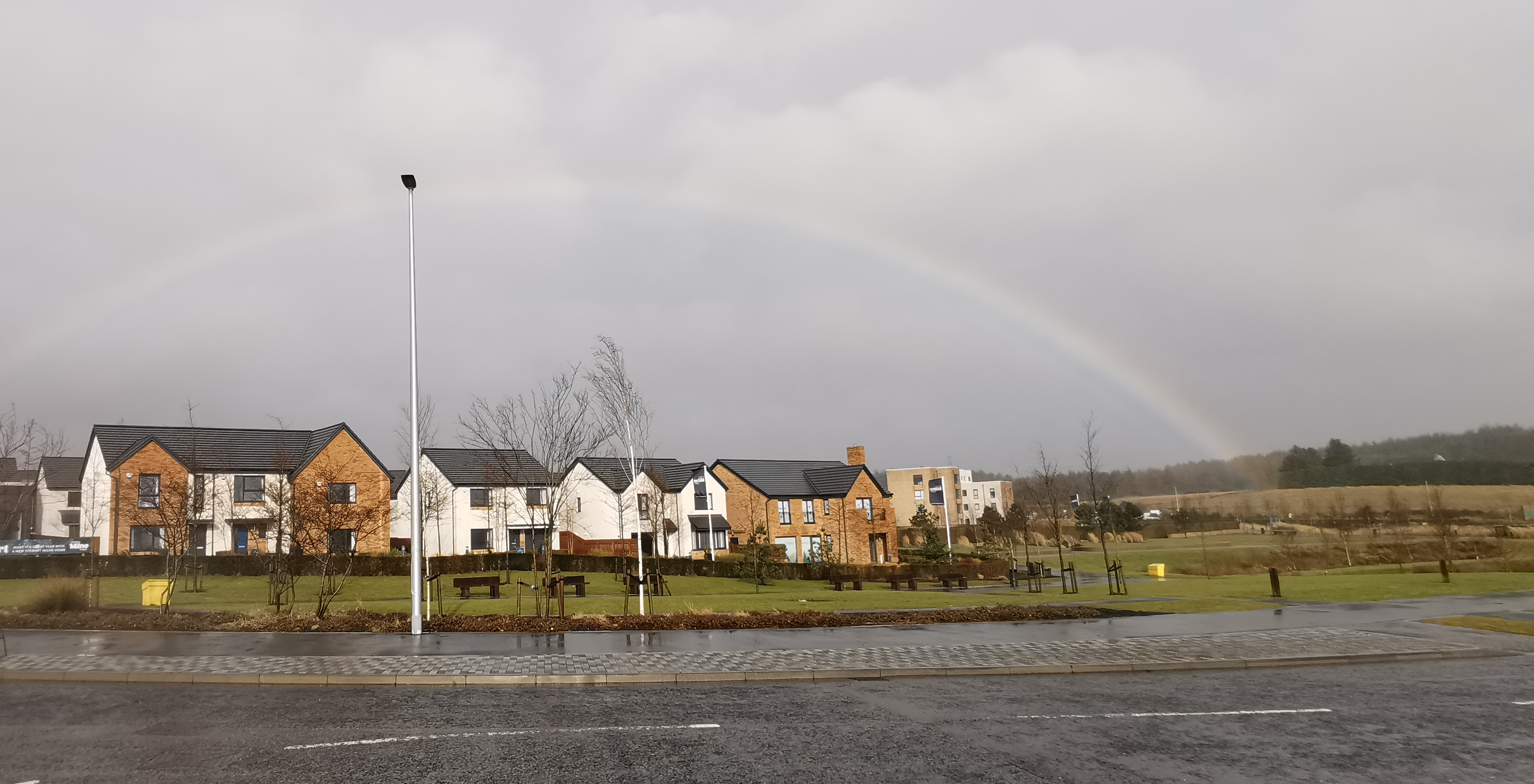
Blacktop Images

Images are sourced within 2km of 57.12919/-2.2316353 or Grid Reference NJ8604. Thanks to Geograph Open Source API. All images are credited.

Shallow Concrete Trough in a Wall This peculiar low long block is incorporated into a stone wall between fields outside Milltimber, an outer suburb of Aberdeen at its Western side. Whether this was its original purpose is unclear, though it was certainly used as a trough at some point judging by the blue pipes embedded within it. Could it have originally been a section of a long channel designed for water or blood and has been repurposed? Or was it specifically designed to hold water and maintained the water level by some clever cistern tank-like system? It would be interesting to know how long large metal water troughs have been around for at affordable prices. If this is an older version it holds a fraction of the water of today's ones.
Shallow Concrete Trough in a Wall
This peculiar low long block is incorporated into a stone wall between fields outside Milltimber, an outer suburb of Aberdeen at its Western side. Whether this was its original purpose is unclear, though it was certainly used as a trough at some point judging by the blue pipes embedded within it. Could it have originally been a section of a long channel designed for water or blood and has been repurposed? Or was it specifically designed to hold water and maintained the water level by some clever cistern tank-like system? It would be interesting to know how long large metal water troughs have been around for at affordable prices. If this is an older version it holds a fraction of the water of today's ones.
A944 towards Westhill
Entrance to Ardene House Veterinary Hospital on the A944 at Kingswells.
Entrance to Ardene House
Veterinary Hospital on the A944 at Kingswells.
Track on the edge of Kingshill Wood
Track in Kingshill Wood
Pond, Prime Four Business Park
Access track to Bellfield Through arable fields, this track lead from Kingshill to Maryfield, a cottage now demolished.
Access track to Bellfield
Through arable fields, this track lead from Kingshill to Maryfield, a cottage now demolished.
Housing development at Loanhead, Countesswells
Wooded farmland at Blacktop Countesswells Road leads into Aberdeen at Seafield.
Wooded farmland at Blacktop
Countesswells Road leads into Aberdeen at Seafield.
North gateway to Westfield Lodge
Aberdeen Western Peripheral Route crossing Countesswells Road
Aberdeen Western Peripheral Route under construction
Aberdeen Western Peripheral Route (AWPR) near Milltimber This week (w/c 12 March 2018) it was suggested the AWPR would be open this Summer.
Aberdeen Western Peripheral Route (AWPR) near Milltimber
This week (w/c 12 March 2018) it was suggested the AWPR would be open this Summer.
Aberdeen Western Peripheral Route (AWPR) The bridge carries the AWPR over the Wester Ord to Blacktop road
Aberdeen Western Peripheral Route (AWPR)
The bridge carries the AWPR over the Wester Ord to Blacktop road
Water feature, Prime Four Business Park, Kingswells The public are apparently encouraged to stroll through the complex...
Water feature, Prime Four Business Park, Kingswells
The public are apparently encouraged to stroll through the complex...
The A944 to the west of Kingswells The A944 runs roughly east-to-west from Aberdeen to the village of Strathdon, some 81 km away: <span class="nowrap"><a title="https://en.wikipedia.org/wiki/A944_road" rel="nofollow ugc noopener" href="https://en.wikipedia.org/wiki/A944_road">Link</a><img style="margin-left:2px;" alt="External link" title="External link - shift click to open in new window" src="https://s1.geograph.org.uk/img/external.png" width="10" height="10"/></span> . Note the huge erratic granite boulder in the field behind the dry stane dyke, which was probably deposited by a glacier some 10-12,000 years ago.
The A944 to the west of Kingswells
The A944 runs roughly east-to-west from Aberdeen to the village of Strathdon, some 81 km away: LinkExternal link . Note the huge erratic granite boulder in the field behind the dry stane dyke, which was probably deposited by a glacier some 10-12,000 years ago.
Lodge to Kingswells House The lodge is not listed and doesn't even merit a Canmore listing.
Lodge to Kingswells House
The lodge is not listed and doesn't even merit a Canmore listing.
Sign of the times? Aberdeen has been dithering for years over the pedestrianisation of Union Street but the coronavirus crisis of 2020 seems to have finally prompted some action.
Sign of the times?
Aberdeen has been dithering for years over the pedestrianisation of Union Street but the coronavirus crisis of 2020 seems to have finally prompted some action.
Show me another place!

Blacktop is located at Grid Ref: NJ8604 (Lat: 57.12919, Lng: -2.2316353)

Unitary Authority: City of Aberdeen

Police Authority: North East

What 3 Words

///script.factored.lorry. Near Milltimber, Aberdeen

Nearby Locations

Blacktop

Related Wikis

Countesswells

Countesswells (Scottish Gaelic: Baile Cobhan an t-Eas) is an area of Aberdeen, Scotland. == Construction == In 2014, planning permission was granted for...
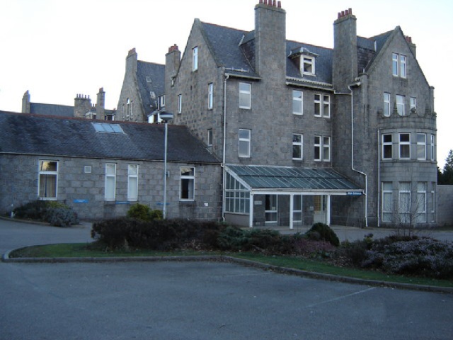
Tor-na-Dee Hospital

Tor-Na-Dee Hospital was a health facility at Milltimber, Aberdeen, Scotland. == History == The hospital, which was established as part of an initiative...

Milltimber

Milltimber is a suburb of Aberdeen, Scotland, around 6 miles (10 km) west of Aberdeen city centre. From 1854 to 1937 the area was served by Milltimber...

Murtle railway station

Murtle railway station, later Murtle Halt railway station served Murtle and Beaconhill Houses and estates, the Mill of Murtle, Milton of Murtle, the local...

Nearby Amenities

Located within 500m of 57.12919,-2.2316353
Power: tower
Lat/Long: 57.1283306/-2.2236378
Barrier: swing_gate
Lat/Long: 57.1285348/-2.2376469
Power: pole
Lat/Long: 57.1260613/-2.2366871
Power: pole
Lat/Long: 57.1262581/-2.2351894
Power: pole
Lat/Long: 57.1264398/-2.2337016
Power: pole
Lat/Long: 57.126628/-2.2322039
Power: pole
Lat/Long: 57.1268173/-2.2307002
Power: pole
Lat/Long: 57.1270108/-2.2292125
Power: pole
Lat/Long: 57.1271742/-2.2272515
Power: pole
Lat/Long: 57.1273796/-2.2262626
Power: pole
Lat/Long: 57.1275409/-2.2250086
Power: pole
Lat/Long: 57.1274248/-2.2249927
Power: pole
Lat/Long: 57.1272624/-2.2262646
Power: pole
Lat/Long: 57.1268839/-2.2292481
Power: pole
Lat/Long: 57.1267592/-2.2302604
Power: pole
Lat/Long: 57.1266549/-2.2310786
Power: pole
Lat/Long: 57.126514/-2.2321524
Power: pole
Lat/Long: 57.1263355/-2.2335471
Power: pole
Lat/Long: 57.1261355/-2.2351181
Power: pole
Lat/Long: 57.1259538/-2.2365544
The data included in this document is from www.openstreetmap.org. The data is made available under ODbL.

Have you been to Blacktop?

Leave your review of Blacktop below (or comments, questions and feedback).