Blackwall Wood
Wood, Forest in Derbyshire Derbyshire Dales
England
Blackwall Wood
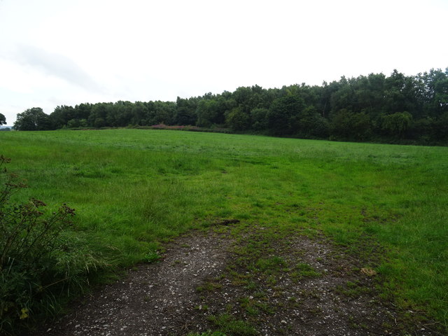
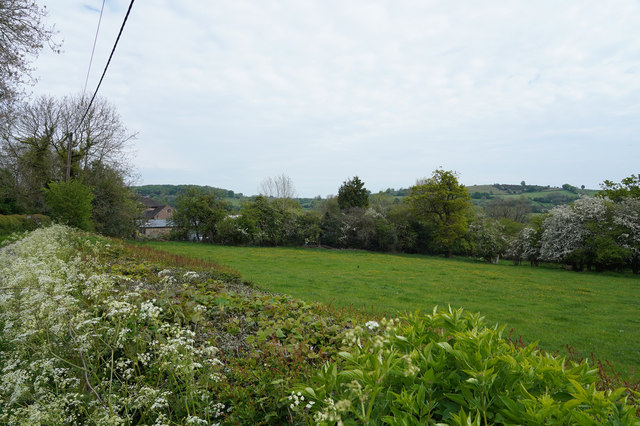
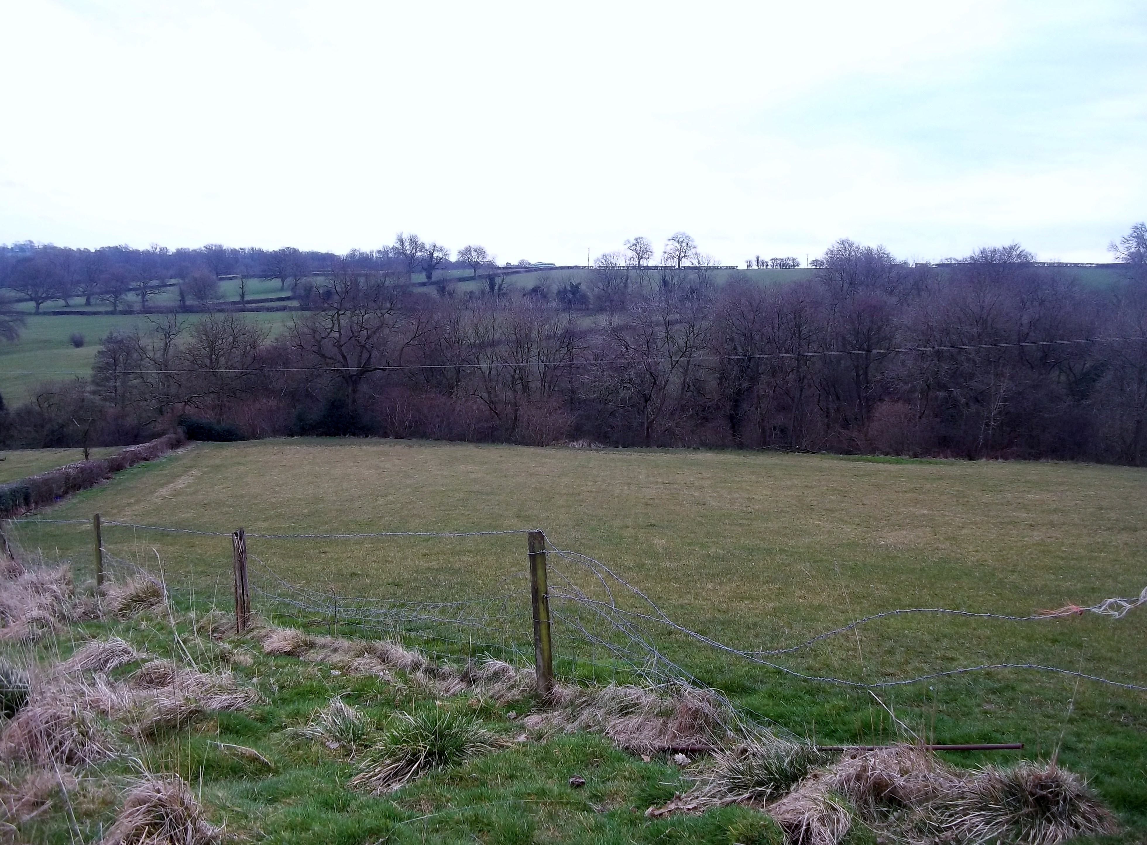
Blackwall Wood is a picturesque forest located in Derbyshire, England. Covering an area of approximately 100 acres, it is nestled within the scenic landscape of the Peak District National Park. The wood is renowned for its diverse flora and fauna, making it a popular destination for nature enthusiasts and hikers alike.
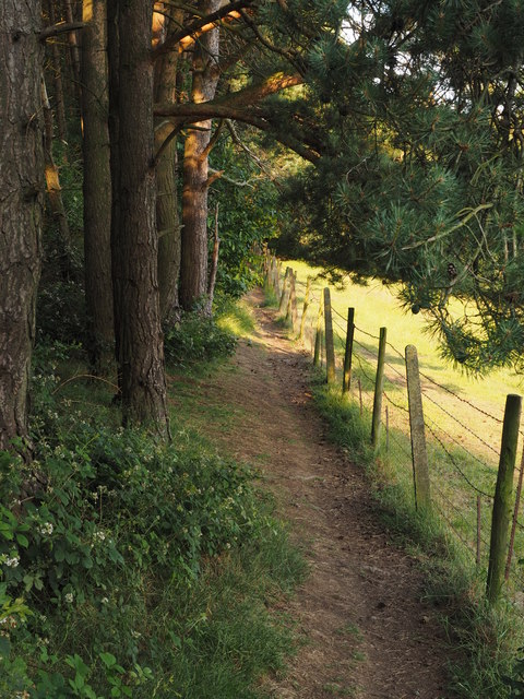
The woodland consists mainly of native deciduous trees, such as oak, beech, and birch, which create a vibrant and ever-changing canopy throughout the seasons. The forest floor is carpeted with a variety of wildflowers, including bluebells, primroses, and wood anemones, adding a burst of color to the landscape.
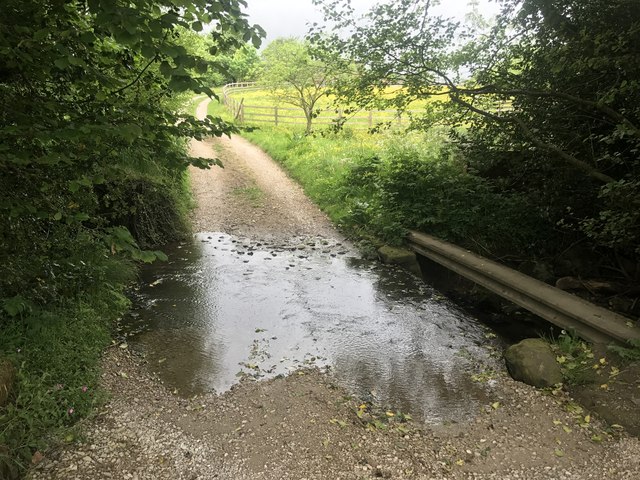
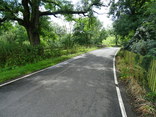
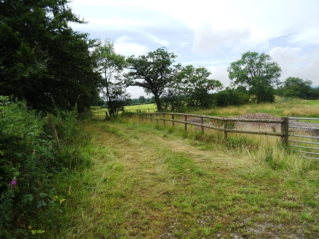
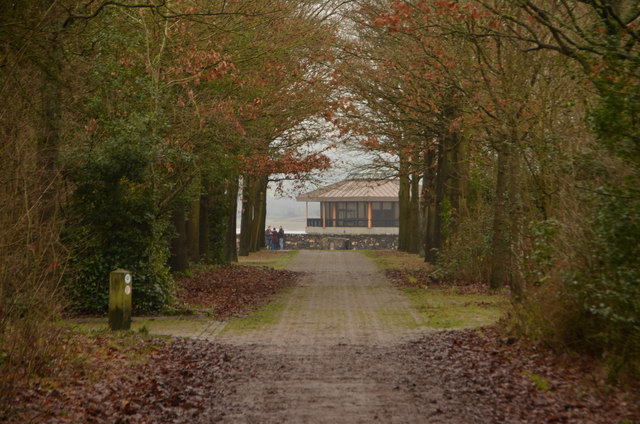
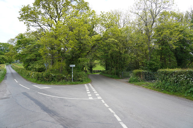
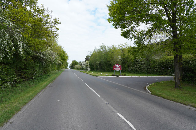
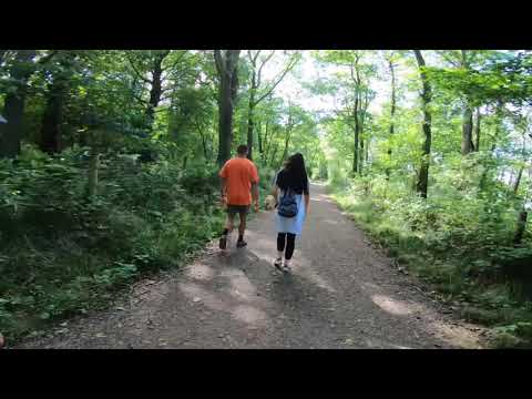
The wood is crisscrossed by a network of well-maintained footpaths, allowing visitors to explore its natural beauty. These paths lead to several viewpoints that offer breathtaking vistas of the surrounding countryside, making it an ideal spot for photographers and artists seeking inspiration.
Blackwall Wood is also home to a rich array of wildlife. Birdwatchers can spot species such as woodpeckers, owls, and various songbirds, while small mammals like squirrels and rabbits can be observed darting among the trees. The wood is also known for its population of deer, which can occasionally be seen grazing in the open glades.
Overall, Blackwall Wood is a haven of tranquility and natural beauty. Its accessibility and diverse range of flora and fauna make it a beloved destination for nature lovers and a must-visit for anyone exploring the Derbyshire countryside.
If you have any feedback on the listing, please let us know in the comments section below.
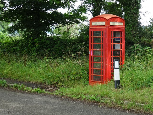
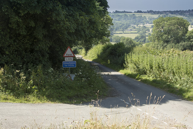
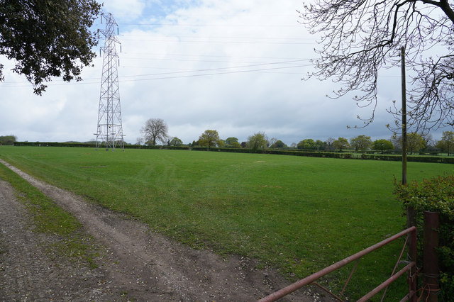
Blackwall Wood Images
Images are sourced within 2km of 53.039975/-1.6216158 or Grid Reference SK2549. Thanks to Geograph Open Source API. All images are credited.


Blackwall Wood is located at Grid Ref: SK2549 (Lat: 53.039975, Lng: -1.6216158)
Administrative County: Derbyshire
District: Derbyshire Dales
Police Authority: Derbyshire
What 3 Words
///visitor.procured.skimmers. Near Wirksworth, Derbyshire
Nearby Locations
Related Wikis
Sheep Hills, Derbyshire
Sheep Hills is a place near Biggin in Derbyshire, United Kingdom. It is mainly a rural area, its geographical context is described as farm, grassland and...

Biggin by Hulland
Biggin is a village and civil parish in the Derbyshire Dales district of Derbyshire, England, near Hulland and just off the A517 road. In the 2011 census...

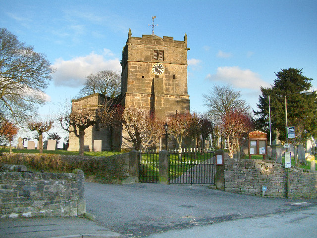
Holy Trinity Church, Kirk Ireton
Holy Trinity Church, Kirk Ireton, is a Grade I listed parish church in the Church of England in Kirk Ireton, Derbyshire. == History == The church dates...
Hognaston
Hognaston is a small village and civil parish in Derbyshire, East Midlands, England. Hognaston has a population of approximately 200; including Atlow and...

Kirk Ireton
Kirk Ireton is a village and civil parish in Derbyshire, England, 4 miles (6.4 km) southwest of Wirksworth on a hillside near Carsington Water, 700 feet...

Hulland Ward
Hulland Ward is a village and civil parish in the Derbyshire Dales district of Derbyshire roughly 6 miles west of Belper, Derbyshire England on the A517...

Carsington Water
Carsington Water is a reservoir, operated by Severn Trent Water, between Wirksworth and Kniveton in Derbyshire, England. The reservoir takes water from...

Atlow
Atlow is a village and civil parish in the Derbyshire Dales district of Derbyshire, England, about eight miles west of Belper. According to the 2001 census...
Related Videos

Carsington water trail circular walk
Jayne wanted to got out for a walk she asked for an easy walk just a walk were she could see the colour of the leave, well i ...
#Carsington #Water #Reservoir #Oldham #England #UK
carsingtonwater #reservoir #water #oldham #England #uk.
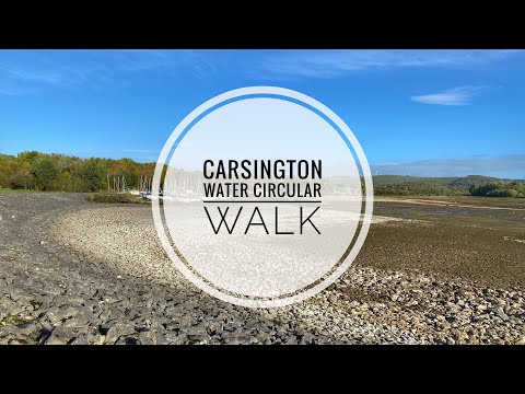
Carsington Water Derbyshire circular walk
An early morning walk around Carsington water reservoir. It's about an 8 mile walk and in this case starting from the main visitor's ...
Carsington Walk September 2020
8 Mile Walk around Carsington.
Nearby Amenities
Located within 500m of 53.039975,-1.6216158Have you been to Blackwall Wood?
Leave your review of Blackwall Wood below (or comments, questions and feedback).