Salem
Settlement in Carmarthenshire
Wales
Salem
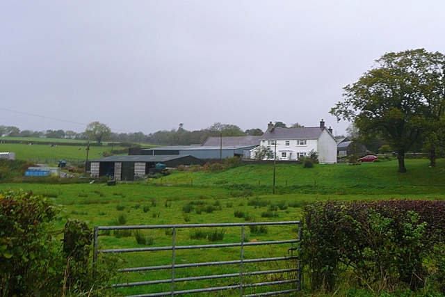
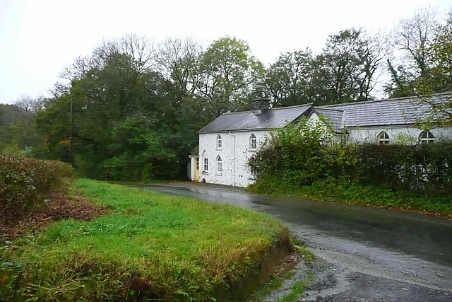
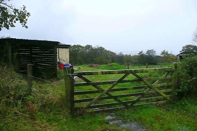
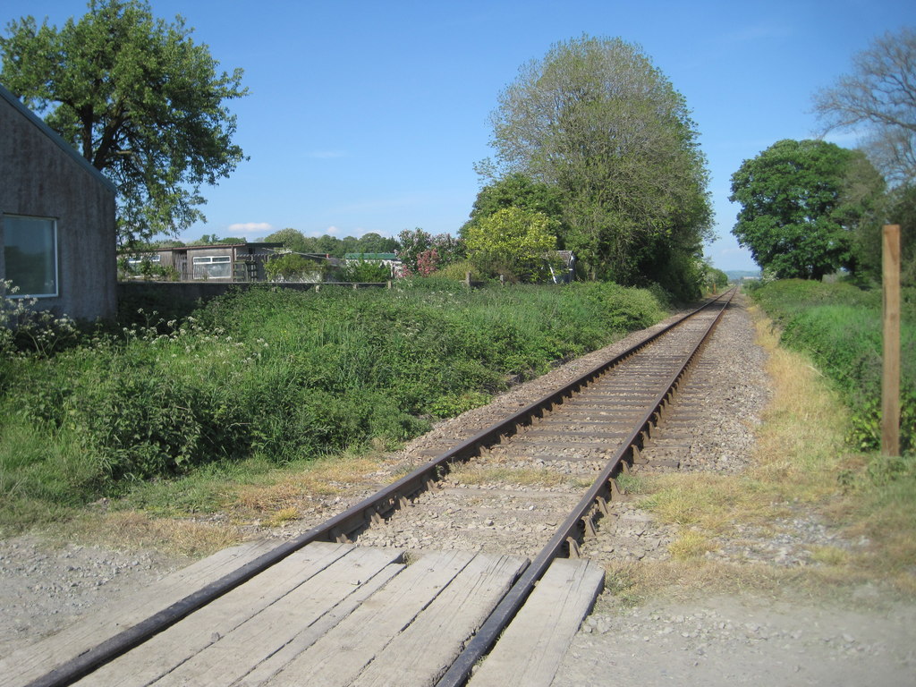
![Llwybr Glan Thames / Glan Thames path Llwybr a heol fynedfa ym mynd i lawr y waered tuag at anhedd-dy o'r enw Glan Thames.
A path and access road descending towards a property known as Glan Thames (trans. bank of the Thames [stream]).](https://s2.geograph.org.uk/geophotos/07/24/25/7242546_92900d87.jpg)
Salem is a small village located in the county of Carmarthenshire, Wales. It is situated in the western part of the county, nestled in the picturesque rolling hills of the Tywi Valley. The village is surrounded by lush green countryside, making it a popular destination for nature lovers and outdoor enthusiasts.
Salem is characterized by its peaceful and tranquil atmosphere, providing a welcome escape from the bustling city life. The village is known for its charming and well-preserved traditional Welsh cottages, which add to its quaint and idyllic charm.
Despite its small size, Salem boasts a strong sense of community and offers a range of amenities for its residents. These include a local primary school, a village hall, and a post office. The village also has its own chapel, which has played an integral role in the community for many years.
The surrounding area of Salem offers numerous opportunities for outdoor activities. The nearby Tywi Forest is a haven for hikers and cyclists, with its extensive network of trails and paths. Additionally, the Tywi River, which runs close to the village, is a popular spot for fishing and boating enthusiasts.
Overall, Salem is a charming and peaceful village that offers a close-knit community and easy access to the beautiful Welsh countryside. It is a place where residents and visitors alike can enjoy a slower pace of life and immerse themselves in nature.
If you have any feedback on the listing, please let us know in the comments section below.
Salem Images
Images are sourced within 2km of 51.921385/-4.0037512 or Grid Reference SN6226. Thanks to Geograph Open Source API. All images are credited.

Salem is located at Grid Ref: SN6226 (Lat: 51.921385, Lng: -4.0037512)
Unitary Authority: Carmarthenshire
Police Authority: Dyfed Powys
What 3 Words
///distorts.vaulting.mystified. Near Llandeilo, Carmarthenshire
Related Wikis

Crûg Farm Quarry
Crûg Farm Quarry is a Site of Special Scientific Interest (SSSI) in Carmarthenshire, Wales, for the geological records preserved in its limestone. ��2...

Cwmifor
Cwmifor is a small village in Carmarthenshire. It is a part of the Manordeilo and Salem community and is located between Llandeilo and Llandovery, near...
Talley Road Halt railway station
Talley Road Halt railway station served the town of Llandeilo, in the historical county of Glamorganshire, Wales, from 1859 to 1955 on the Vale of Towy...

Llandeilo
Llandeilo (Welsh pronunciation: [ɬanˈdeilɔ]) is a town and community in Carmarthenshire, Wales, situated at the crossing of the River Towy by the A483...
Nearby Amenities
Located within 500m of 51.921385,-4.0037512Have you been to Salem?
Leave your review of Salem below (or comments, questions and feedback).