Heolgaled

Settlement in Carmarthenshire

Wales

Heolgaled

Ordnance Survey Cut Mark This OS cut mark can be found on the wall at the road junction. It marks a point 100.402m above mean sea level.
Ordnance Survey Cut Mark Credit: Adrian Dust

The requested URL returned error: 429 Too Many Requests

If you have any feedback on the listing, please let us know in the comments section below.
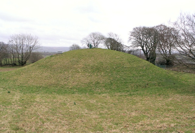
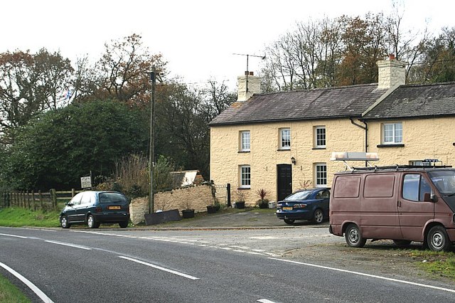
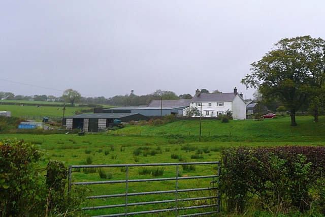
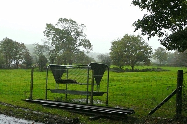
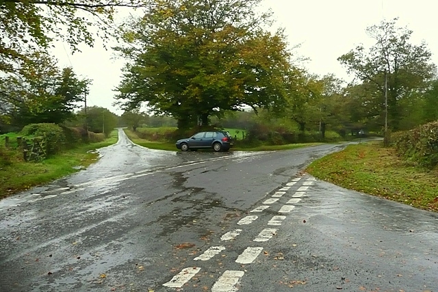
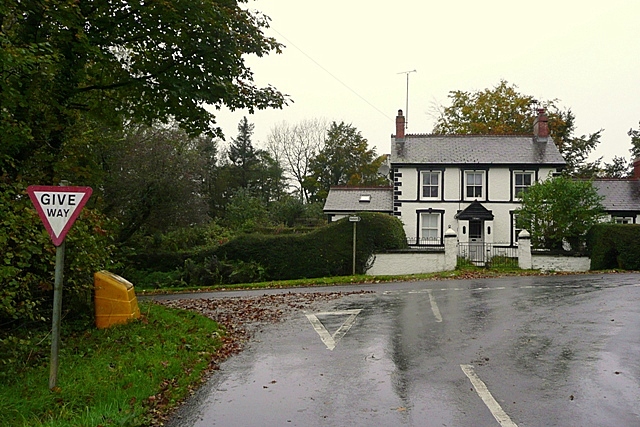
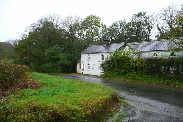
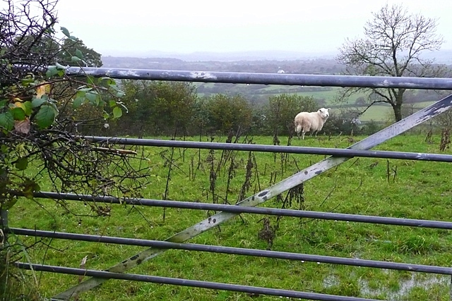
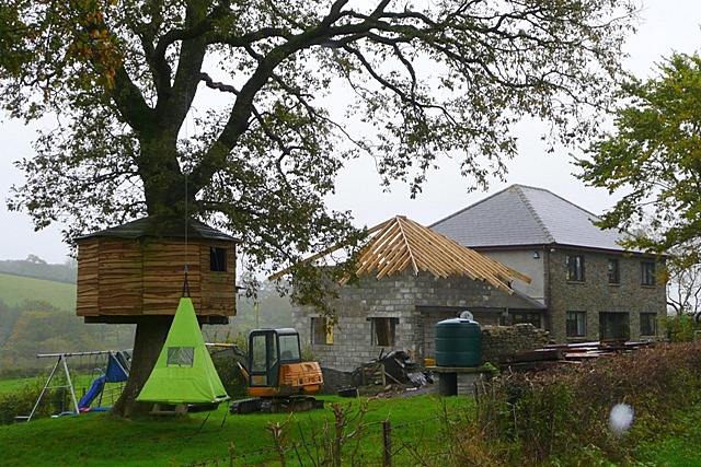
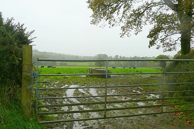
Heolgaled Images

Images are sourced within 2km of 51.91538/-4.007846 or Grid Reference SN6226. Thanks to Geograph Open Source API. All images are credited.

Ordnance Survey Cut Mark This OS cut mark can be found on the wall at the road junction. It marks a point 100.402m above mean sea level.
Ordnance Survey Cut Mark
This OS cut mark can be found on the wall at the road junction. It marks a point 100.402m above mean sea level.
Churn Stand
Churn Stand
Salem The bus stop, church and Angel pub at the north end of the village. Strangely, on the 1940 map, the village appears to have a different name: Heol Galed
Salem
The bus stop, church and Angel pub at the north end of the village. Strangely, on the 1940 map, the village appears to have a different name: Heol Galed
Covered reservoir north of Salem A small, dome shaped reservoir visible from the road side.
Covered reservoir north of Salem
A small, dome shaped reservoir visible from the road side.
Hope Farm Hope Farm on the B4302.
Hope Farm
Hope Farm on the B4302.
Field at Pant-y-clai Sheep pasture and a little bit of woodland in the north of the square.
Field at Pant-y-clai
Sheep pasture and a little bit of woodland in the north of the square.
Bridge at Glandwr This lane crosses a typical stone bridge over Afon Myddyfi.  The buildings of Glandwr are behind.
Bridge at Glandwr
This lane crosses a typical stone bridge over Afon Myddyfi. The buildings of Glandwr are behind.
Castell-Howel Sheep and cattle farm on one of the lanes north of Llandeilo.
Castell-Howel
Sheep and cattle farm on one of the lanes north of Llandeilo.
Feeder at Pantybedw The farm buildings at Pantybedw are off to the left.  The feeder is by the entrance track to the farm, and shows that the pasture is probably used by cattle or horses; too high for sheep which are the main livestock around the area.
Feeder at Pantybedw
The farm buildings at Pantybedw are off to the left. The feeder is by the entrance track to the farm, and shows that the pasture is probably used by cattle or horses; too high for sheep which are the main livestock around the area.
Crossroads at Maeslyn Just about the most interesting feature of the square, that I found.  Busy too, four vehicles passed whilst I was out of my car, across the road and back again.
Crossroads at Maeslyn
Just about the most interesting feature of the square, that I found. Busy too, four vehicles passed whilst I was out of my car, across the road and back again.
Myrtle Hill A sturdy traditional black and white cottage at the junction of the road to Salem.
Myrtle Hill
A sturdy traditional black and white cottage at the junction of the road to Salem.
Cefnllwydcoed One of those lovely tucked away houses with mitre windows.  By the road yes, but hardly a busy road.
Cefnllwydcoed
One of those lovely tucked away houses with mitre windows. By the road yes, but hardly a busy road.
Wet field above Cefnrhiwlas Even the sheep looks miserable.
Wet field above Cefnrhiwlas
Even the sheep looks miserable.
Pasture at Bwlch-y-llidiart More sheep pasture in the north-west of the square.
Pasture at Bwlch-y-llidiart
More sheep pasture in the north-west of the square.
Pasture north of Pant-y-clai Very wet.
Pasture north of Pant-y-clai
Very wet.
Glandwr Buildings of a farm above Afon Myddyfi.
Glandwr
Buildings of a farm above Afon Myddyfi.
We're expanding The big house needs a little house and the tree house needs a tree tent.
We're expanding
The big house needs a little house and the tree house needs a tree tent.
Pasture near Castell-Howel Wet cattle and sheep pasture above the Afon Myddyfi.
Pasture near Castell-Howel
Wet cattle and sheep pasture above the Afon Myddyfi.
Show me another place!

Heolgaled is located at Grid Ref: SN6226 (Lat: 51.91538, Lng: -4.007846)

Unitary Authority: Carmarthenshire

Police Authority: Dyfed Powys

What 3 Words

///ruby.isolating.prowess. Near Llandeilo, Carmarthenshire

Nearby Locations

Salem Heolgaled

Related Wikis

Crûg Farm Quarry

Crûg Farm Quarry is a Site of Special Scientific Interest (SSSI) in Carmarthenshire, Wales, for the geological records preserved in its limestone. ��2...

Birdshill Quarry

Birdshill Quarry is a Site of Special Scientific Interest (SSSI) in Carmarthenshire, Wales. == SSSI == Birdshill Quarry SSSI is located approximately 1...

Newton House, Llandeilo

Newton House is a Grade II* listed country house situated just to the west of the market town of Llandeilo in Carmarthenshire, Wales. It is partially owned...

Llandeilo

Llandeilo (Welsh pronunciation: [ɬanˈdeilɔ]) is a town and community in Carmarthenshire, Wales, situated at the crossing of the River Towy by the A483...

Nearby Amenities

Located within 500m of 51.91538,-4.007846
Ford: yes
Lat/Long: 51.9150973/-4.0052666
Post Box
Collection Times: Mo-Fr 16:45; Sa 09:00
Post Box Type: lamp
Ref: SA19 78
Royal Cypher: EIIR
Royal Cypher Wikidata: Q33102113
Lat/Long: 51.918934/-4.0038465
Direction: 170
Generator Method: photovoltaic
Generator Output Electricity: yes
Generator Solar Modules: 14
Generator Source: solar
Generator Type: solar_photovoltaic_panel
Location: roof
Power: generator
Lat/Long: 51.9168284/-4.0032908
The data included in this document is from www.openstreetmap.org. The data is made available under ODbL.

Have you been to Heolgaled?

Leave your review of Heolgaled below (or comments, questions and feedback).