Blackmore End

Settlement in Hertfordshire North Hertfordshire

England

Blackmore End

Blue Cross Animal Re-homing Centre, Kimpton
Blue Cross Animal Re-homing Centre, Kimpton Credit: David Howard

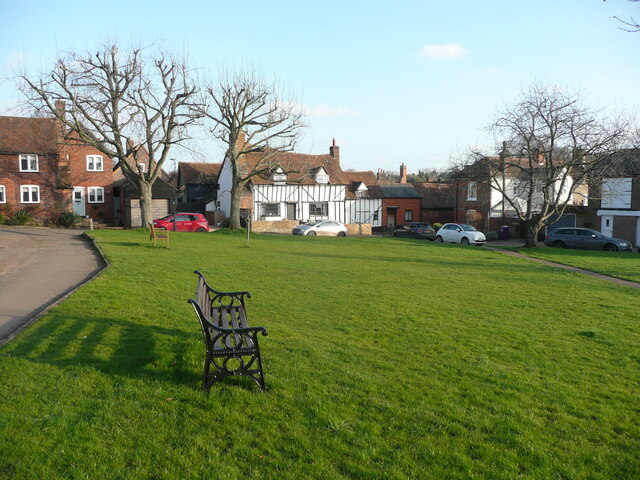
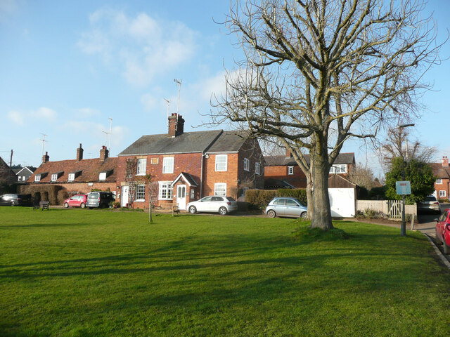
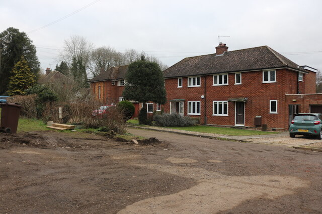
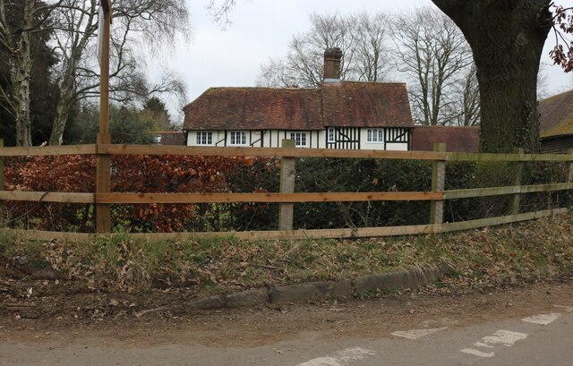
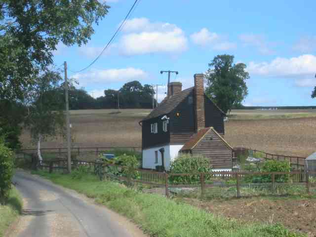
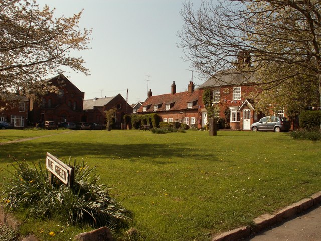
Blackmore End is a small village located in the county of Hertfordshire, England. Situated approximately 4 miles southeast of the town of Hemel Hempstead, Blackmore End falls within the local government district of Dacorum. It is a picturesque rural area surrounded by open fields and farmland, offering residents a tranquil and peaceful environment.

The village is home to a close-knit community, with a population of around 500 people. It boasts a rich history, dating back to medieval times, and has retained much of its traditional charm. The architecture in Blackmore End is predominantly made up of quaint cottages and farmhouses, adding to its idyllic countryside character.

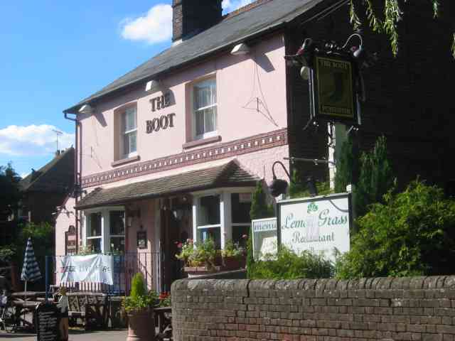
Despite its small size, Blackmore End has a range of amenities to cater to its residents' needs. These include a primary school, a village hall, and a local pub. Additionally, the village benefits from its proximity to Hemel Hempstead, which provides access to a wider range of facilities such as supermarkets, shops, and leisure activities.

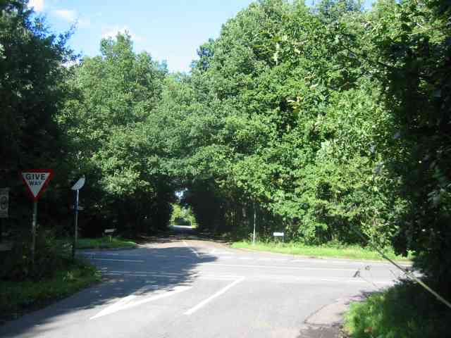
The surrounding area offers numerous opportunities for outdoor activities and exploration. There are several footpaths and bridleways which provide scenic walks, allowing residents to enjoy the beautiful countryside that surrounds the village. Additionally, nearby attractions include the Ashridge Estate, a National Trust site known for its stunning woodlands and historic monuments.

Overall, Blackmore End is a charming village that offers a peaceful and rural lifestyle, while still benefiting from its proximity to nearby towns and amenities. Its rich history, scenic surroundings, and strong community spirit make it an appealing place to live for those seeking a tranquil and picturesque setting.

If you have any feedback on the listing, please let us know in the comments section below.

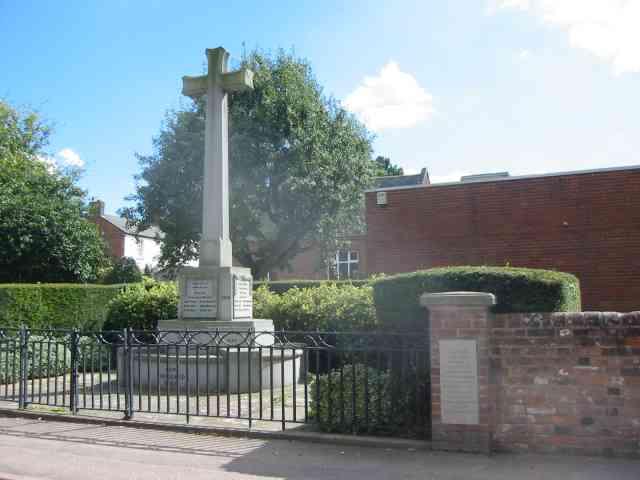
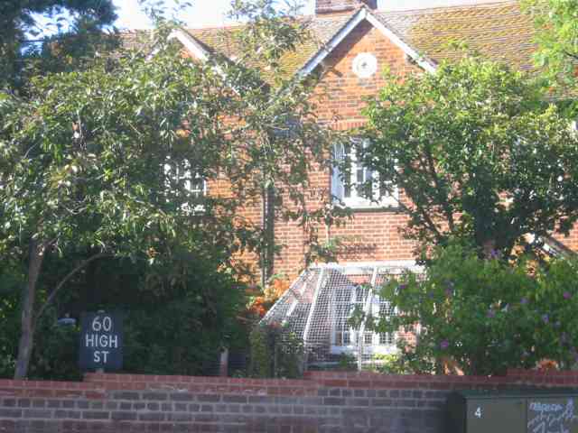
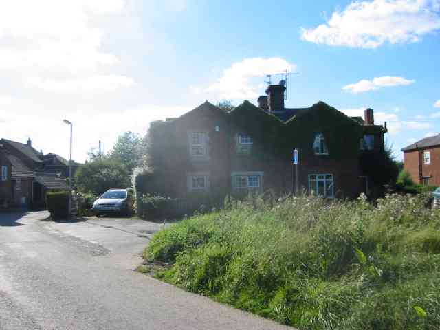
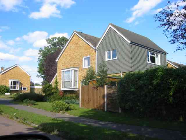
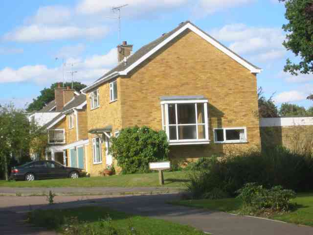
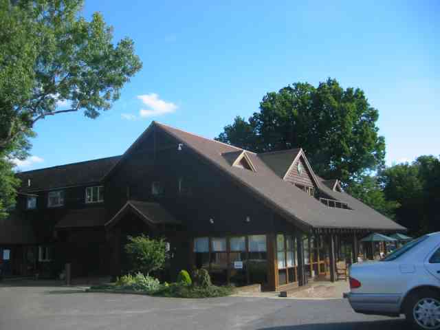
Blackmore End Images

Images are sourced within 2km of 51.838911/-0.30272213 or Grid Reference TL1716. Thanks to Geograph Open Source API. All images are credited.

Blue Cross Animal Re-homing Centre, Kimpton
The Green, Kimpton This view is looking towards Church Lane. the building in the centre is a former butcher's shop.
The Green, Kimpton
This view is looking towards Church Lane. the building in the centre is a former butcher's shop.
The north side of the green, Kimpton
Houses on Marshalls Heath Lane
Holly Lane, Porter's End
Farmhouse at Old Raisins Farm, Porter's End
Claggy Cottage at Claggy Bottom This cottage is completely isolated in open fields.
What does the Claggy describe???
Claggy Cottage at Claggy Bottom
This cottage is completely isolated in open fields. What does the Claggy describe???
Business Units in  Claggy Rd Kimpton At least there is employment within walking distance of the town.
Business Units in Claggy Rd Kimpton
At least there is employment within walking distance of the town.
Houses in High Street Kimpton Interesting to compare the floor heights of the two properties. Victorian versus more recent .
Houses in High Street Kimpton
Interesting to compare the floor heights of the two properties. Victorian versus more recent .
War Memorial High St Kimpton It seemed worthy to include this in the sequence
War Memorial High St Kimpton
It seemed worthy to include this in the sequence
House with an Aviary  Kimpton The wire cage around the window intrigues me
House with an Aviary Kimpton
The wire cage around the window intrigues me
The Boot pub in Kimpton The colour combination tells me something perhaps?
The Boot pub in Kimpton
The colour combination tells me something perhaps?
Cross Roads at  Gustard Wood I am standing in "The Slype"  whatever that is
Cross Roads at Gustard Wood
I am standing in "The Slype" whatever that is
Houses at a cross roads on the Slype Sun was beginning to sink and so the rays were picked up
Houses at a cross roads on the Slype
Sun was beginning to sink and so the rays were picked up
House in the Broadway Gustard Wood The split personality extension intrigued me
House in the Broadway Gustard Wood
The split personality extension intrigued me
More Houses in The Broadway Gustard Wood Taken to give bulk to the entry
More Houses in The Broadway Gustard Wood
Taken to give bulk to the entry
Clubhouse at Gustard Wood golf course This has a friendly feel to it
Clubhouse at Gustard Wood golf course
This has a friendly feel to it
A barn at Mackerye End It looks as if it is now  a house
A barn at Mackerye End
It looks as if it is now a house
Show me another place!

Blackmore End is located at Grid Ref: TL1716 (Lat: 51.838911, Lng: -0.30272213)

Administrative County: Hertfordshire

District: North Hertfordshire

Police Authority: Hertfordshire

What 3 Words

///shares.faces.speeds. Near Kimpton, Hertfordshire

Related Wikis

Kimpton, Hertfordshire

Kimpton is a village in Hertfordshire, England, six miles south of Hitchin, seven miles north of St Albans and four miles from Harpenden and Luton. The...

Ansells End

Ansells End is a hamlet of four historic homes in Hertfordshire, England. The population of the hamlet at the 2011 Census was included in the civil parish...

New St Lawrence Church, Ayot St Lawrence

St Lawrence Church is an eighteenth-century, neoclassical church in Ayot St Lawrence, Hertfordshire, England. It is also known as New St Lawrence Church...

Marshalls Heath

Marshalls Heath is a hamlet and a 4-hectare (10-acre) Local Nature Reserve in Wheathampstead parish, Hertfordshire, England. The nature reserve is owned...

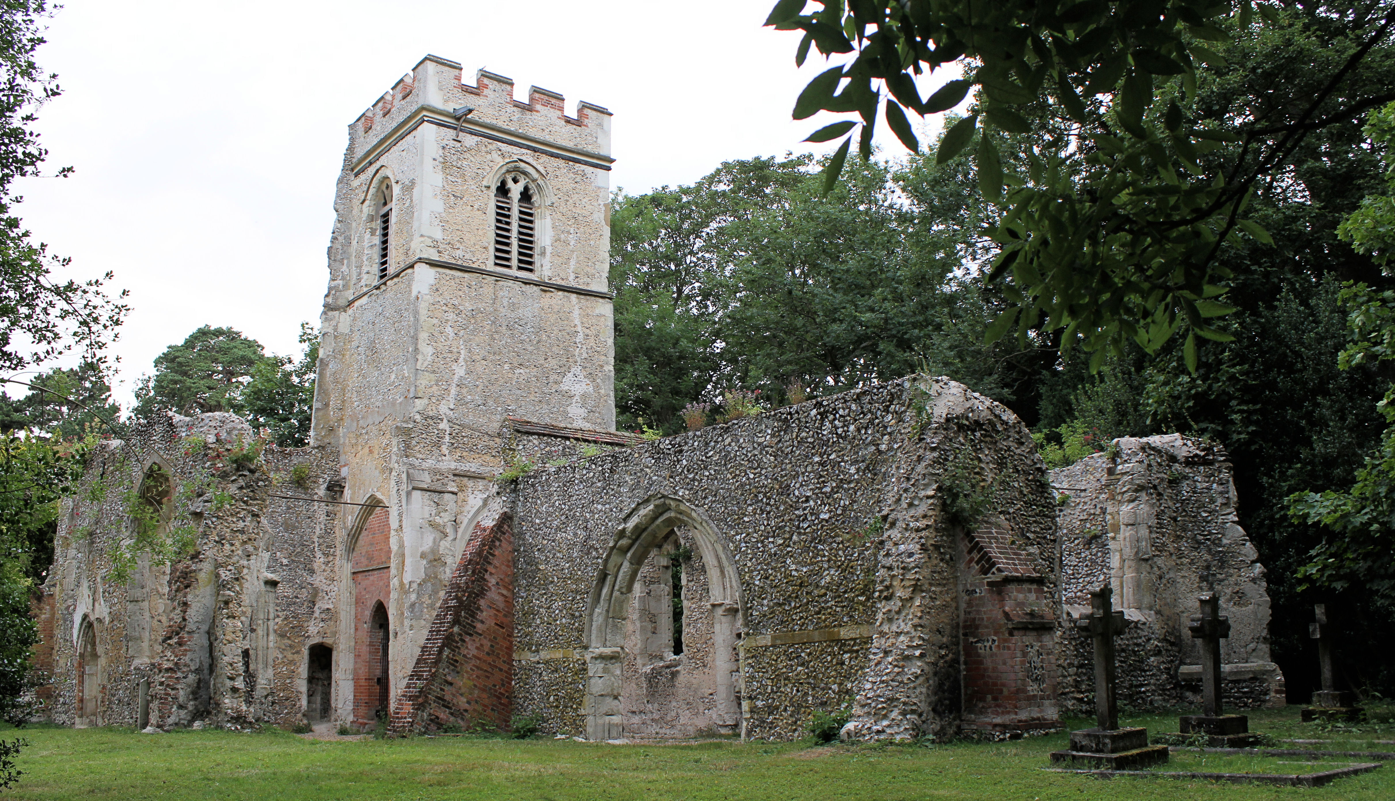
Old St Lawrence Church, Ayot St Lawrence

Old St Lawrence Church is a ruined building in Ayot St Lawrence, Hertfordshire, England. It is protected as a Grade II* listed building, and dates back...

Ayot St Lawrence

Ayot St Lawrence is a small English village and civil parish in Hertfordshire, two miles (three kilometres) west of Welwyn. There are several other Ayots...

Shaw's Corner

Shaw's Corner was the primary residence of the renowned Irish playwright George Bernard Shaw; it is now a National Trust property open to the public as...

Ayot Park

Ayot Park is a grade II listed park and garden at Ayot St Lawrence in Hertfordshire, England. It contains the grade II* listed Ayot House along with an...

Nearby Amenities

Located within 500m of 51.838911,-0.30272213
Blackmore End
Created By: Potlatch 0.8a
Place: hamlet
Lat/Long: 51.8357935/-0.3028156
Bus Stop
The Broadway
Bus: yes
Naptan AtcoCode: 210021100440
Naptan Bearing: N
Naptan CommonName: The Broadway
Naptan Indicator: adj
Naptan Landmark: Unknown
Naptan NaptanCode: hrtgmdjg
Naptan PlusbusZoneRef: HRPNDN;STALBCY
Naptan ShortCommonName: NA
Naptan Street: Kimpton Road
Naptan Verified: no
Public Transport: platform
Shelter: no
Source: naptan_import
Lat/Long: 51.8360938/-0.3013821
Bus Stop
Beech Way
Bus: yes
Naptan AtcoCode: 210021100460
Naptan Bearing: N
Naptan CommonName: Beech Way
Naptan Crossing: The Drive
Naptan Indicator: adj
Naptan Landmark: The Drive
Naptan NaptanCode: hrtgmawa
Naptan PlusbusZoneRef: HRPNDN;STALBCY
Naptan ShortCommonName: NA
Naptan Street: Kimpton Road
Naptan Verified: no
Public Transport: platform
Source: naptan_import
Lat/Long: 51.8390722/-0.3028168
Bus Stop
The Broadway
Bus: yes
Naptan AtcoCode: 210021107720
Naptan Bearing: SE
Naptan CommonName: The Broadway
Naptan Indicator: opp
Naptan Landmark: Unknown
Naptan NaptanCode: hrtgjdpw
Naptan PlusbusZoneRef: HRPNDN;STALBCY
Naptan ShortCommonName: NA
Naptan Street: Kimpton Road
Naptan Verified: no
Public Transport: platform
Source: naptan_import
Lat/Long: 51.8356311/-0.3005222
Bus Stop
Beech Way
Bus: yes
Naptan AtcoCode: 210021107740
Naptan Bearing: S
Naptan CommonName: Beech Way
Naptan Indicator: opp
Naptan Landmark: Unknown
Naptan NaptanCode: hrtgjdta
Naptan PlusbusZoneRef: HRPNDN;STALBCY
Naptan ShortCommonName: NA
Naptan Street: Kimpton Road
Naptan Verified: no
Public Transport: platform
Source: naptan_import
Lat/Long: 51.8387911/-0.3026532
Post Box
Post Box Type: wall
Ref: AL4 62D
Royal Cypher: GVIR
Royal Cypher Wikidata: Q33102169
Lat/Long: 51.8388791/-0.3026226
The data included in this document is from www.openstreetmap.org. The data is made available under ODbL.

Have you been to Blackmore End?

Leave your review of Blackmore End below (or comments, questions and feedback).