Blackmore End

Settlement in Worcestershire Malvern Hills

England

Blackmore End

Footbridges at the junction of footpaths near Blackmore End
Footbridges at the junction of footpaths near Blackmore End Credit: peter robinson

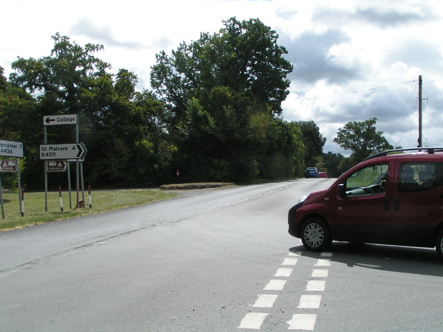
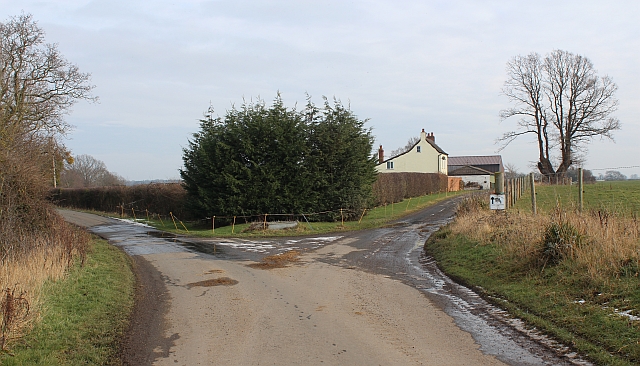
Blackmore End is a small village located in the county of Worcestershire, England. Situated in the Malvern Hills District, it lies approximately 8 miles west of the city of Worcester. The village is nestled amongst picturesque rural surroundings, characterized by rolling hills and lush green fields.

Historically, Blackmore End was an agricultural community, with farming being the primary occupation of its residents. Today, the village retains its rural charm, with a scattering of traditional cottages and farmhouses dotting the landscape. The local economy is still rooted in agriculture, with some farmers cultivating crops such as wheat and barley, while others focus on livestock rearing.

The village is known for its peaceful and tranquil atmosphere, making it an ideal place for those seeking a quieter way of life. It offers a close-knit community, with a small but friendly population. While amenities within the village are limited, nearby towns and villages provide essential services such as shops, schools, and healthcare facilities.

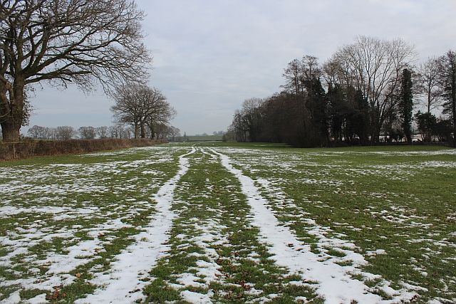
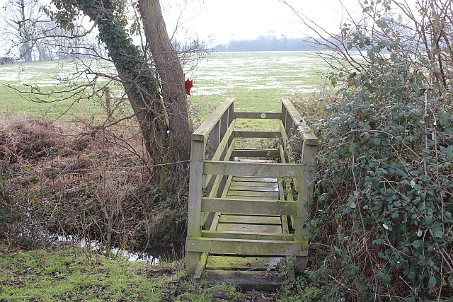
Blackmore End is also a haven for nature enthusiasts, with a plethora of scenic walking and cycling routes in the surrounding countryside. The Malvern Hills, an Area of Outstanding Natural Beauty, are easily accessible from the village, offering breathtaking views and an array of outdoor activities.

Overall, Blackmore End is a charming and idyllic village, perfect for those seeking a peaceful rural retreat amidst the beauty of Worcestershire's countryside.

If you have any feedback on the listing, please let us know in the comments section below.

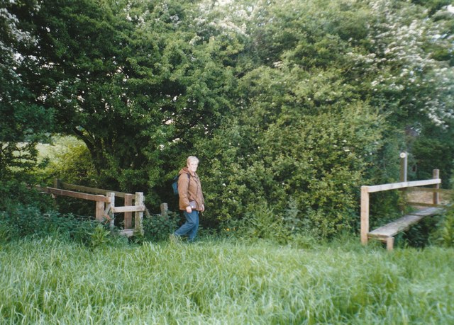
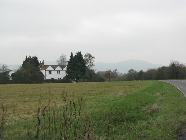
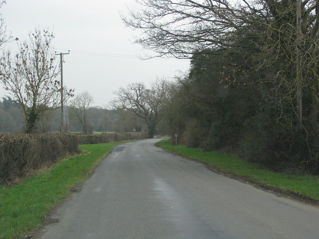
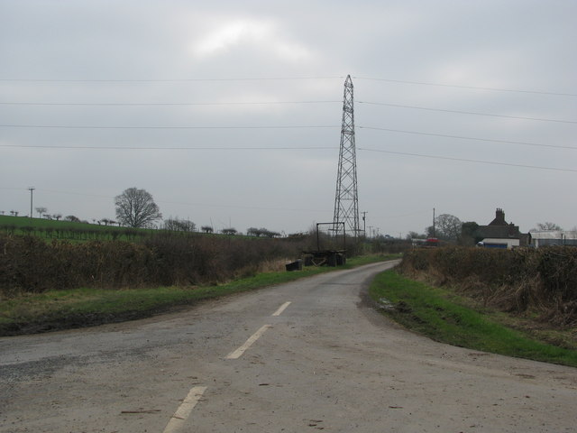
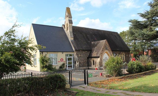
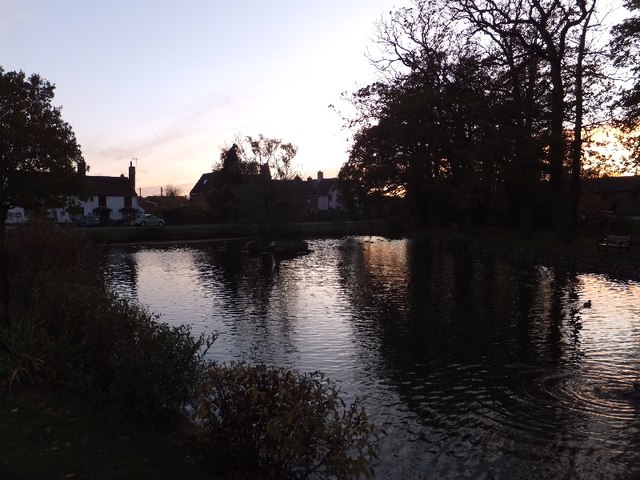
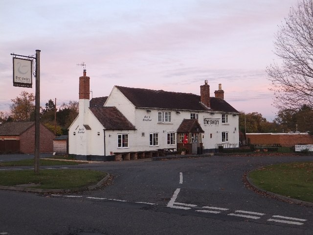
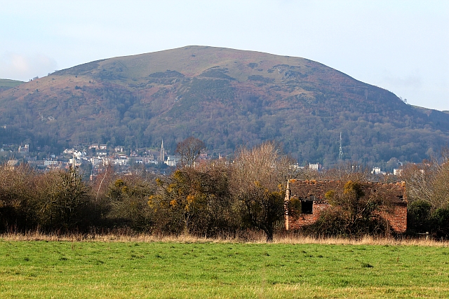
Blackmore End Images

Images are sourced within 2km of 52.097149/-2.267842 or Grid Reference SO8144. Thanks to Geograph Open Source API. All images are credited.

Footbridges at the junction of footpaths near Blackmore End
Field by the white house near Rhydd
Minor road on the northern edge of Guarlford
Pylons cross the road near White House Farm
B4424 at Rydd
B4424 at Rydd
Housing development, Hanley Swan On the Welland road on what was a meadow between the school and the limit of residential land.
There will be 11 new homes for rent or "HomeBuy": 
4 three bedroomed houses, 3 two bedroomed houses, 
2 two bedroomed bungalows and 2 two bedroomed apartments.

Under the "HomeBuy" scheme the occupier initially buys between 25% and 75% of the house with the option of buying more shares in the house later.

<span class="nowrap"><a title="http://www.homebuy.org.uk/homebuy_schemes.html" rel="nofollow ugc noopener" href="http://www.homebuy.org.uk/homebuy_schemes.html">Link</a><img style="margin-left:2px;" alt="External link" title="External link - shift click to open in new window" src="https://s1.geograph.org.uk/img/external.png" width="10" height="10"/></span>

How the meadow looked in 2007:
<a href="https://www.geograph.org.uk/photo/446149">SO8142 : Horse Jumps in Meadow</a>
<a href="https://www.geograph.org.uk/photo/2595342">SO8142 : Building site (right), Hanley Swan</a>
<a href="https://www.geograph.org.uk/photo/2595324">SO8142 : Building site (left), Hanley Swan</a>
<a href="https://www.geograph.org.uk/photo/2595317">SO8142 : Building site (centre), Hanley Swan</a>
Housing development, Hanley Swan
On the Welland road on what was a meadow between the school and the limit of residential land. There will be 11 new homes for rent or "HomeBuy": 4 three bedroomed houses, 3 two bedroomed houses, 2 two bedroomed bungalows and 2 two bedroomed apartments. Under the "HomeBuy" scheme the occupier initially buys between 25% and 75% of the house with the option of buying more shares in the house later. LinkExternal link How the meadow looked in 2007: SO8142 : Horse Jumps in Meadow SO8142 : Building site (right), Hanley Swan SO8142 : Building site (left), Hanley Swan SO8142 : Building site (centre), Hanley Swan
Building site (centre), Hanley Swan On the Welland road on what was a meadow between the school and the limit of residential land.
How the meadow looked in 2007:
<a href="https://www.geograph.org.uk/photo/446149">SO8142 : Horse Jumps in Meadow</a>
<a href="https://www.geograph.org.uk/photo/2595342">SO8142 : Building site (right), Hanley Swan</a>
<a href="https://www.geograph.org.uk/photo/2595324">SO8142 : Building site (left), Hanley Swan</a>
<a href="https://www.geograph.org.uk/photo/2595302">SO8142 : Housing development, Hanley Swan</a>
Building site (centre), Hanley Swan
On the Welland road on what was a meadow between the school and the limit of residential land. How the meadow looked in 2007: SO8142 : Horse Jumps in Meadow SO8142 : Building site (right), Hanley Swan SO8142 : Building site (left), Hanley Swan SO8142 : Housing development, Hanley Swan
Building site (left), Hanley Swan On the Welland road on what was a meadow between the school and the limit of residential land.
<a href="https://www.geograph.org.uk/photo/2595342">SO8142 : Building site (right), Hanley Swan</a>
<a href="https://www.geograph.org.uk/photo/2595317">SO8142 : Building site (centre), Hanley Swan</a>
<a href="https://www.geograph.org.uk/photo/2595302">SO8142 : Housing development, Hanley Swan</a>
Building site (left), Hanley Swan
On the Welland road on what was a meadow between the school and the limit of residential land. SO8142 : Building site (right), Hanley Swan SO8142 : Building site (centre), Hanley Swan SO8142 : Housing development, Hanley Swan
Building site (right), Hanley Swan On the Welland road on what was a meadow between the school and the limit of residential land.
Note the photo-voltaic solar panels already fitted to the south facing roofs.
<a href="https://www.geograph.org.uk/photo/2595324">SO8142 : Building site (left), Hanley Swan</a>
<a href="https://www.geograph.org.uk/photo/2595317">SO8142 : Building site (centre), Hanley Swan</a>
<a href="https://www.geograph.org.uk/photo/2595302">SO8142 : Housing development, Hanley Swan</a>
Building site (right), Hanley Swan
On the Welland road on what was a meadow between the school and the limit of residential land. Note the photo-voltaic solar panels already fitted to the south facing roofs. SO8142 : Building site (left), Hanley Swan SO8142 : Building site (centre), Hanley Swan SO8142 : Housing development, Hanley Swan
Hanley Swan C of E primary school A Church of England "controlled" school on the Welland Road next to the village hall.
It was built around 1861 as a "school for the education of children and adults or children only of the Labouring, Manufacturing or other poorer classes."
In 1947 it became solely a primary school.
Notice how the older part of the school, with Malvern granite walls, looks just like a chapel - for indeed it was also used as a chapel of ease for the inhabitants of the Swan Green area (now called Hanley Swan) until St Gabriel's church was built.
Hanley Swan C of E primary school
A Church of England "controlled" school on the Welland Road next to the village hall. It was built around 1861 as a "school for the education of children and adults or children only of the Labouring, Manufacturing or other poorer classes." In 1947 it became solely a primary school. Notice how the older part of the school, with Malvern granite walls, looks just like a chapel - for indeed it was also used as a chapel of ease for the inhabitants of the Swan Green area (now called Hanley Swan) until St Gabriel's church was built.
The Swan Pool (village pond) at sunset
The Swan Inn at Hanley Swan Perhaps the title should be "the swan" as the signs use lower case only.  Hanley Swan has the traditional English village centre: a cross roads with a village green, overlooked by an inn in one corner; a village pond in the next corner; the post office and shop next, and houses in the fourth.  When I grew up here, I almost believed that every village should have this layout.
The Swan Inn at Hanley Swan
Perhaps the title should be "the swan" as the signs use lower case only. Hanley Swan has the traditional English village centre: a cross roads with a village green, overlooked by an inn in one corner; a village pond in the next corner; the post office and shop next, and houses in the fourth. When I grew up here, I almost believed that every village should have this layout.
A second oak tree on the village green The centre of the green is site for an oak planted in the 19th century.
A second oak tree on the village green
The centre of the green is site for an oak planted in the 19th century.
Old Barn, Guarlford A derelict building amongst an apple orchard with a good crop of mistletoe.
In the background is North Hill at the end of the granite Malvern Hills range with Great Malvern beneath.
The church spire to the left of centre is Holly Mount United Reformed Church.
The infill television transmitter is to the right of the picture.
This also transmits local radio and the structure is adorned with a plethora of aerials and microwave dishes.
Old Barn, Guarlford
A derelict building amongst an apple orchard with a good crop of mistletoe. In the background is North Hill at the end of the granite Malvern Hills range with Great Malvern beneath. The church spire to the left of centre is Holly Mount United Reformed Church. The infill television transmitter is to the right of the picture. This also transmits local radio and the structure is adorned with a plethora of aerials and microwave dishes.
Hangman's Lane - Green Lane junction Hangmans Lane forks to the left while the lane to the right becomes an unmetalled "green lane" after Broadacres Farm.
Hangman's Lane - Green Lane junction
Hangmans Lane forks to the left while the lane to the right becomes an unmetalled "green lane" after Broadacres Farm.
Snow field, Hanley Swan An interesting long narrow field with a stream on the right hand boundary.
Snow field, Hanley Swan
An interesting long narrow field with a stream on the right hand boundary.
Snow field, Hanley Swan An interesting long narrow field with a stream bordering its southern edge.
The Malvern Hills can be seen in the distance.
Snow field, Hanley Swan
An interesting long narrow field with a stream bordering its southern edge. The Malvern Hills can be seen in the distance.
Wooden Bridge near Hanley Swan Attached to the tree on the far side is a maple leaf memorial to Canadians killed in a mid air collision during WWII.
<a href="https://www.geograph.org.uk/photo/2806694">SO8243 : Footbridge and Maple Leaf memorial, Hanley Swan</a>
Wooden Bridge near Hanley Swan
Attached to the tree on the far side is a maple leaf memorial to Canadians killed in a mid air collision during WWII. SO8243 : Footbridge and Maple Leaf memorial, Hanley Swan
Show me another place!

Blackmore End is located at Grid Ref: SO8144 (Lat: 52.097149, Lng: -2.267842)

Administrative County: Worcestershire

District: Malvern Hills

Police Authority: West Mercia

What 3 Words

///wept.completed.thus. Near Great Malvern, Worcestershire

Related Wikis

Guarlford

Guarlford is a village and civil parish in the Malvern Hills district in the county of Worcestershire, England. The parish population was 261 in 2021.It...

British National Fencing Museum

The British National Fencing Museum is the national museum for Great Britain for the sport and martial art of fencing.The museum opened during the year...

Hanley Swan

Hanley Swan is a small village in the English county of Worcestershire. It lies in the Malvern Hills district, between the towns of Malvern (two miles...

The Rhydd

The Rhydd (formerly Rhydd Court) is an English country house alongside the River Severn, near the village of Hanley Castle, Worcestershire, about halfway...

Poolbrook

Poolbrook is a village and a suburb of Malvern, Worcestershire, England, situated approximately 1.5 miles (2.4 km) southeast of Great Malvern, the town...

The Chase School

The Chase School is a secondary school (ages 11–18) in Malvern, Worcestershire, England. The school opened as a Secondary Modern in 1953 under headteacher...

Hanley Castle

Hanley Castle is a village and civil parish in Worcestershire, England, between the towns of Malvern and Upton upon Severn and a short distance from the...

Clevelode

Clevelode is a small village in Worcestershire, England. It is located around 5 miles south of Worcester just to the west of the River Severn. Clevelode...

Nearby Amenities

Located within 500m of 52.097149,-2.267842
Barrier: stile
Lat/Long: 52.0982816/-2.2747153
Barrier: stile
Lat/Long: 52.095151/-2.273963
Power: pole
Lat/Long: 52.0952092/-2.2737354
Location Transition: yes
Power: pole
Lat/Long: 52.0961946/-2.2739232
Blackmore Grange
Power: pole
Transformer: distribution
Lat/Long: 52.0949554/-2.2737139
Power: pole
Lat/Long: 52.0932581/-2.2713751
Tickeridge Farm
Power: pole
Transformer: distribution
Voltage Primary: 11000
Lat/Long: 52.0933306/-2.2703934
Power: pole
Lat/Long: 52.0934839/-2.2690389
Power: pole
Lat/Long: 52.0936075/-2.2679767
Power: pole
Lat/Long: 52.0937294/-2.2670111
Power: pole
Lat/Long: 52.0946753/-2.2632104
Power: pole
Lat/Long: 52.0939749/-2.2660375
The Orchards
Power: pole
Transformer: distribution
Voltage Primary: 11000
Lat/Long: 52.0942139/-2.2650638
Power: pole
Lat/Long: 52.0944545/-2.2640768
Power: pole
Lat/Long: 52.0947231/-2.2624835
Power: pole
Lat/Long: 52.0955577/-2.2629583
Blackmore End
Power: pole
Transformer: distribution
Voltage Primary: 11000
Lat/Long: 52.0972953/-2.2641465
Power: pole
Lat/Long: 52.0965406/-2.2636516
Power: pole
Lat/Long: 52.0951556/-2.2679298
Blackmore End Farm
Power: pole
Transformer: distribution
Voltage Primary: 11000
Lat/Long: 52.095388/-2.2684629
Power: pole
Lat/Long: 52.0947165/-2.2669246
Power: pole
Lat/Long: 52.0970489/-2.2740747
Power: pole
Lat/Long: 52.0977187/-2.2743402
Power: pole
Lat/Long: 52.0983465/-2.2746018
The data included in this document is from www.openstreetmap.org. The data is made available under ODbL.

Have you been to Blackmore End?

Leave your review of Blackmore End below (or comments, questions and feedback).