Blackmore End

Settlement in Essex Braintree

England

Blackmore End

Village Hall at Blackmore End, Essex
Village Hall at Blackmore End, Essex Credit: Robert Edwards

Blackmore End is a small village located in the county of Essex, in the southeastern part of England. Situated near the towns of Braintree and Halstead, it is part of the Braintree district. With a population of around 400 residents, Blackmore End offers a tranquil and close-knit community atmosphere.

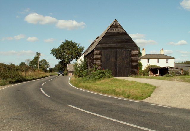
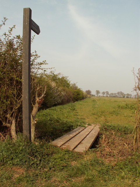
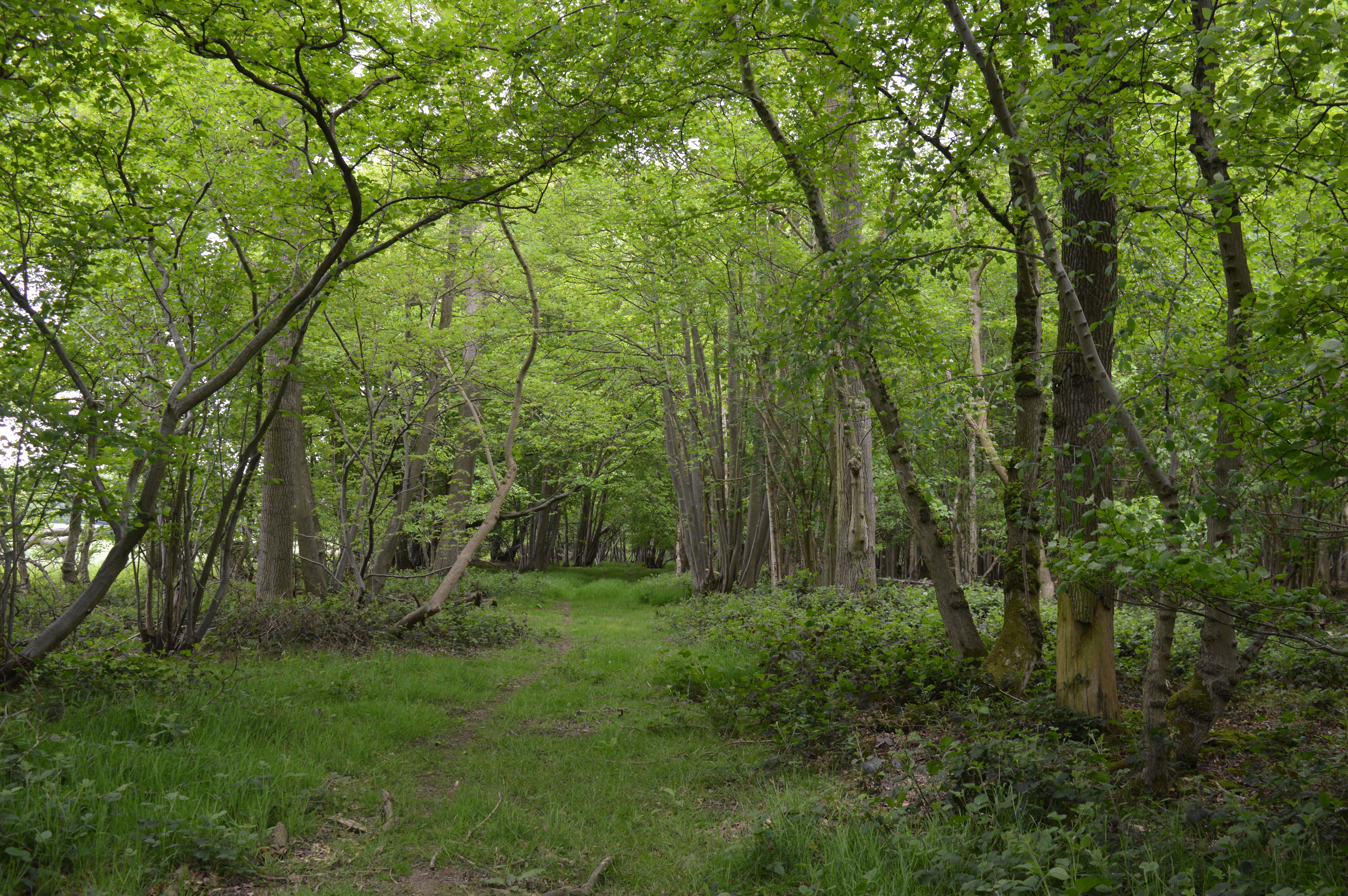
The village is surrounded by picturesque countryside, characterized by rolling hills, lush green fields, and charming country lanes. It is well-known for its idyllic rural setting, making it a popular destination for nature lovers and outdoor enthusiasts. The Blackwater River, which flows nearby, adds to the natural beauty of the area.

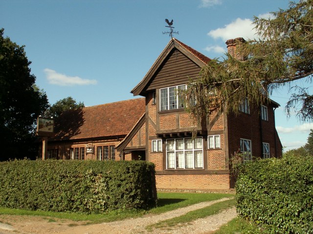
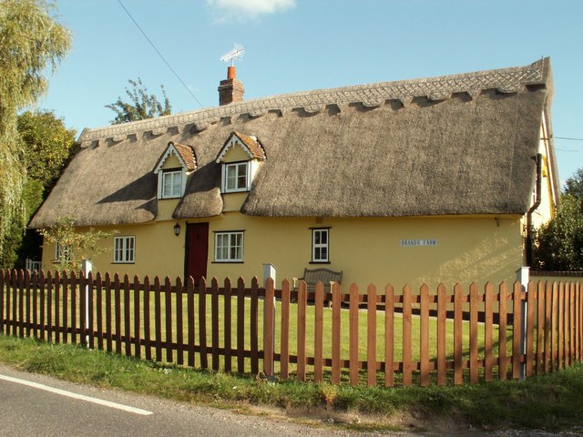
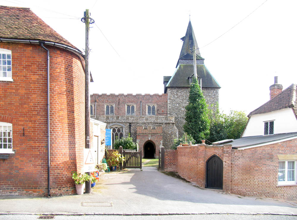
Blackmore End is primarily a residential area, with a mix of traditional cottages and newer houses. The village also boasts a number of historic buildings, such as St. Laurence Church, which dates back to the 14th century and is a prominent landmark in the area.

While Blackmore End does not have its own shops or amenities, it benefits from its close proximity to nearby towns, where residents can find a range of services, including schools, supermarkets, and healthcare facilities. The village is well-connected to the surrounding areas by road, with the A131 running nearby, providing easy access to major transport links.

Overall, Blackmore End offers a peaceful and picturesque setting, ideal for those seeking a rural retreat while still enjoying the convenience of nearby amenities.

If you have any feedback on the listing, please let us know in the comments section below.

Blackmore End Images

Images are sourced within 2km of 51.946146/0.527962 or Grid Reference TL7330. Thanks to Geograph Open Source API. All images are credited.

Village Hall at Blackmore End, Essex
Old barn at Blackmore End, Essex This barn stands opposite a small green at the heart of the village and there is no evidence that it belongs to a farm.
Old barn at Blackmore End, Essex
This barn stands opposite a small green at the heart of the village and there is no evidence that it belongs to a farm.
Waver's Farm, Blackmore End, Essex
Farmhouse at Brands Farm, Wethersfield, Essex
Lower Green, just north of Blackmore End, Essex The little thatched cottage is an octagonal shape.
Lower Green, just north of Blackmore End, Essex
The little thatched cottage is an octagonal shape.
Danes Vale Barn, just northeast of Shalford, Essex This is a barn conversion now but used to belong to Danes Vale Farm.  The road carries on to Shalford.
Danes Vale Barn, just northeast of Shalford, Essex
This is a barn conversion now but used to belong to Danes Vale Farm. The road carries on to Shalford.
Part of Hudson's Hill This is the road that links Wethersfield with Sible Hedingham.
Part of Hudson's Hill
This is the road that links Wethersfield with Sible Hedingham.
Old barn at Patten's Farm
Baker's cottage by Baker's Farm
Road to Liston Hall Farm
Footpath to Forry's Green
Lonely postbox This postbox is situated near the junction of the road between Wethersfield and Sible Hedingham, and the road leading to Blackmore End.  It is a long way from any  houses, making its isolation more remarkable.
Lonely postbox
This postbox is situated near the junction of the road between Wethersfield and Sible Hedingham, and the road leading to Blackmore End. It is a long way from any houses, making its isolation more remarkable.
Large Finger Post Large size finger post at Blackmore End, Essex.
Large Finger Post
Large size finger post at Blackmore End, Essex.
Parkhall Road Towards Gosfield.
Parkhall Road
Towards Gosfield.
View over distressed field gates North from Mumfords Hill (road). An earlier view has no gates - <a href="https://www.geograph.org.uk/photo/236137">TL7329 : Countryside near Beazley End, Essex</a>.
View over distressed field gates
North from Mumfords Hill (road). An earlier view has no gates - TL7329 : Countryside near Beazley End, Essex.
Private No parking No footpath A field gate, Rotten End.
Private No parking No footpath
A field gate, Rotten End.
Sometime ford over River Pant, Rotten End Limited to vehicles not exceeding 26 ft long - 7.9 m in modern terms.  A nice high footbridge if you can make it to the steps.
Sometime ford over River Pant, Rotten End
Limited to vehicles not exceeding 26 ft long - 7.9 m in modern terms. A nice high footbridge if you can make it to the steps.
Show me another place!

Blackmore End is located at Grid Ref: TL7330 (Lat: 51.946146, Lng: 0.527962)

Administrative County: Essex

District: Braintree

Police Authority: Essex

What 3 Words

///irony.reds.push. Near Gosfield, Essex

Nearby Locations

Blackmore End Wethersfield

Related Wikis

Nearby Amenities

Located within 500m of 51.946146,0.527962
Blackmore End
Created By: Potlatch 0.10f
Is In: Essex
Place: village
Lat/Long: 51.9478207/0.5321957
Recycling
Blackmore End Recycling Centre
Recycling Cans: yes
Recycling Glass: yes
Lat/Long: 51.94987/0.5288656
Pub
The Bull
Wikidata: Q26493695
Lat/Long: 51.9503579/0.5265247
Shalford Brewery
Craft: brewery
Lat/Long: 51.9434498/0.5263432
Material: wood
Power: pole
Source: bing
Lat/Long: 51.9422811/0.5295424
Material: wood
Power: pole
Source: bing
Lat/Long: 51.9429602/0.5237814
Material: wood
Power: pole
Source: bing
Lat/Long: 51.9431919/0.5298068
Material: wood
Power: pole
Source: bing
Lat/Long: 51.9436046/0.5223624
Material: wood
Power: pole
Source: bing
Lat/Long: 51.9440963/0.5300667
Material: wood
Power: pole
Source: bing
Lat/Long: 51.9449403/0.522627
Material: wood
Power: pole
Source: bing
Lat/Long: 51.9450219/0.5303196
Material: wood
Power: pole
Source: bing
Lat/Long: 51.9454018/0.529655
Material: wood
Power: pole
Source: bing
Lat/Long: 51.9454529/0.5237599
Material: wood
Power: pole
Source: bing
Lat/Long: 51.9459562/0.5248154
Material: wood
Power: pole
Source: bing
Lat/Long: 51.9460283/0.5285524
Material: wood
Power: pole
Source: bing
Lat/Long: 51.9465123/0.5276786
Material: wood
Power: pole
Source: bing
Lat/Long: 51.9469543/0.5268957
Public Bookcase
Blackmore End Book Exchange
Booth: K6
Disused Amenity: telephone
Man Made: telephone_box
Old Phone: +44 1371 850654
Public Bookcase Type: phone_box
Lat/Long: 51.9487998/0.5291583
Post Box
Post Box Type: lamp
Royal Cypher: EIIR
Lat/Long: 51.9488189/0.5291905
Man Made: village_sign
Lat/Long: 51.9467289/0.5317435
Leisure: playground
Lat/Long: 51.9469857/0.5322889
The data included in this document is from www.openstreetmap.org. The data is made available under ODbL.

Have you been to Blackmore End?

Leave your review of Blackmore End below (or comments, questions and feedback).