Blackhouse
Settlement in Aberdeenshire
Scotland
Blackhouse

Blackhouse is a small village located in Aberdeenshire, Scotland. Situated in the eastern part of the county, it lies approximately 10 miles northwest of the city of Aberdeen. The village is nestled between the coastal town of Balmedie and the rural countryside, offering a unique blend of coastal beauty and rural charm.
Blackhouse is known for its picturesque surroundings, with rolling hills, green fields, and stunning views of the North Sea. The village itself is characterized by a small cluster of traditional stone cottages, giving it a quaint and timeless feel. Many of these cottages are well-preserved blackhouses, traditional Scottish dwellings with thick stone walls and thatched roofs, which have become iconic symbols of the region's history.
The area surrounding Blackhouse is rich in natural beauty and offers plenty of outdoor activities for visitors and residents alike. The nearby Balmedie Beach is a popular spot for long walks, picnics, and even sand dune surfing. The Balmedie Country Park, just a short distance away, provides ample opportunities for birdwatching, hiking, and wildlife spotting.
Despite its small size, Blackhouse has a strong sense of community and offers a range of amenities. The village is home to a local pub, where residents and visitors can enjoy a pint of traditional Scottish ale or indulge in hearty pub food. Additionally, nearby towns and villages provide additional amenities, such as shops, schools, and medical facilities.
Overall, Blackhouse offers a unique blend of natural beauty, historical charm, and a close-knit community, making it an attractive destination for those seeking a tranquil and picturesque Scottish village experience.
If you have any feedback on the listing, please let us know in the comments section below.
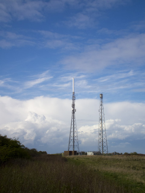
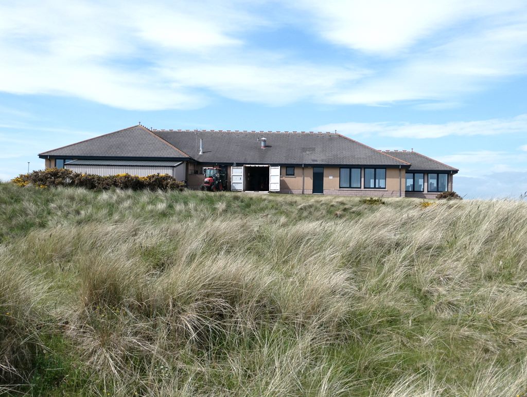
Blackhouse Images
Images are sourced within 2km of 57.511152/-1.8019858 or Grid Reference NK1146. Thanks to Geograph Open Source API. All images are credited.


Blackhouse is located at Grid Ref: NK1146 (Lat: 57.511152, Lng: -1.8019858)
Unitary Authority: Aberdeenshire
Police Authority: North East
What 3 Words
///loaf.outlawing.readjust. Near Peterhead, Aberdeenshire
Nearby Locations
Related Wikis
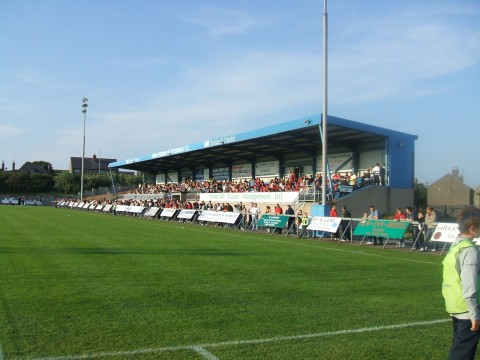
Balmoor Stadium
Balmoor (also known as Balmoor Stadium) is an association football ground in the Scottish town of Peterhead, Aberdeenshire. It is home to Peterhead. The...

Waves Radio
Waves Radio was an Independent Local Radio station based in Peterhead, Scotland for Aberdeenshire with coverage across Peterhead and Fraserburgh on 101...
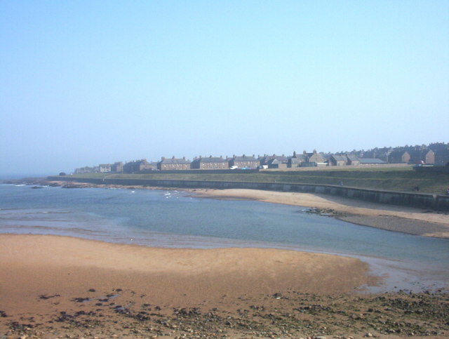
Buchanhaven
Buchanhaven is a village in Aberdeenshire, Scotland, dating to around 1739. It is one mile north of Peterhead town centre, and near to the mouth of the...
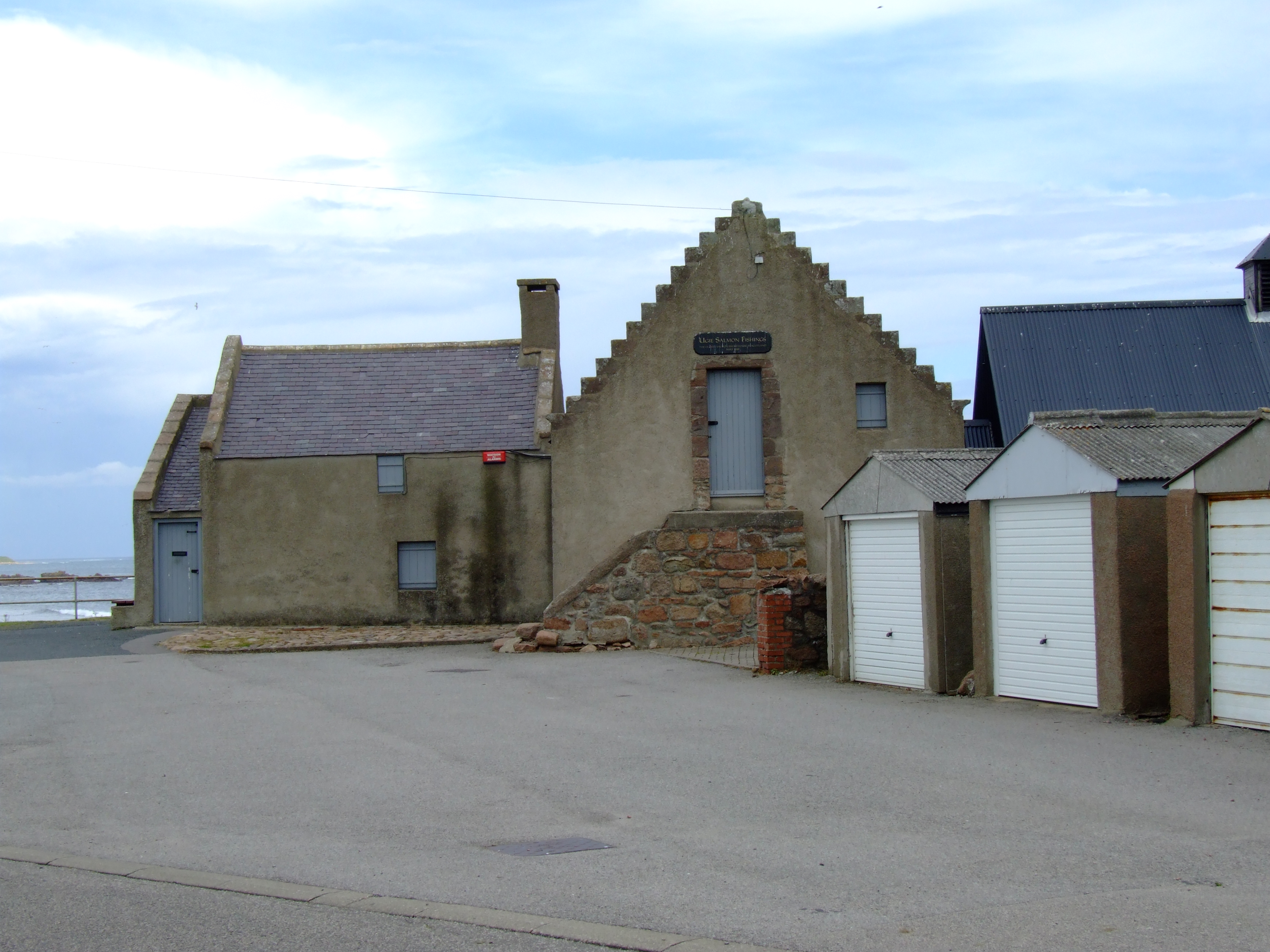
Fish-House, Peterhead
The Fish-House (also known as the Salmon House) is a Category B listed building on Golf Road in the Buchanhaven area of Peterhead, Aberdeenshire, Scotland...
Ugie Hospital
Ugie Hospital is a small hospital in Peterhead, Scotland, providing psychogeriatric services. It is managed by NHS Grampian. == History == The foundation...
Peterhead Golf Club
Peterhead Golf Club, in Peterhead, Aberdeenshire, Scotland, was founded in 1841, making it, by its own claim, the 18th-oldest golf club in the world. Located...
Peterhead Academy
Peterhead Academy is a six-year Comprehensive Community School in Peterhead, Aberdeenshire, Scotland. It is operated by Aberdeenshire Council. == History... ==

Peterhead railway station
Peterhead railway station was a railway station in Peterhead, Aberdeenshire. == History == The railway station was opened on 3 July 1862 by the Formartine...
Related Videos

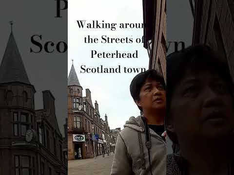
Scotland 2023 - Peterhead Walking Tour 4K 60fps
Scotland 2023 - Peterhead Walking Tour 4K 60fps. Peterhead is a town in Aberdeenshire, Scotland. It is Aberdeenshire's biggest ...
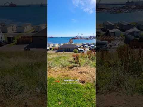
Peterhead Bay Marina, Holiday Park, Aberdeenshire, Scotland
Peterhead bay holiday park, marina, Aberdeenshire, Scotland.

Nearby Amenities
Located within 500m of 57.511152,-1.8019858Have you been to Blackhouse?
Leave your review of Blackhouse below (or comments, questions and feedback).