Rockness

Settlement in Gloucestershire Stroud

England

Rockness

Forner coal merchant's building at Egypt Mill Now converted to provide accommodation for the Egypt Mill Hotel
Forner coal merchant's building at Egypt Mill Credit: Graham Hogg

Rockness is a small village located in the county of Gloucestershire, England. Situated approximately 6 miles southwest of the town of Stroud, Rockness is nestled in the picturesque Cotswold Hills, offering residents and visitors stunning views of the surrounding countryside.

With a population of around 500 people, Rockness exudes a quaint and peaceful atmosphere. The village is characterized by its traditional stone cottages and charming architecture, which adds to its appeal as a quintessential English village. The community is tightly knit, with a strong sense of camaraderie among its residents.

Despite its small size, Rockness boasts a few essential amenities for its inhabitants. These include a local pub, where locals and visitors can gather for socializing and enjoying a drink or a meal. Additionally, there is a primary school within the village, providing education for the younger members of the community.

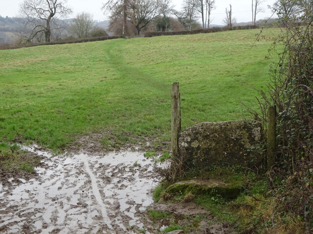
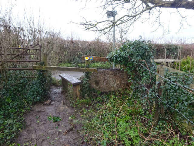
Rockness is surrounded by a patchwork of fields and woodlands, ideal for outdoor enthusiasts and nature lovers. The area offers numerous opportunities for walking, hiking, and exploring the idyllic countryside. The nearby Cotswold Way, a popular long-distance footpath, passes through Rockness, attracting walkers from far and wide.

In terms of transport, Rockness is well-connected to neighboring towns and cities. The village is accessible via local bus services, while the nearby Stroud railway station provides links to larger cities, such as Bristol and London.

Overall, Rockness is a charming village that offers a peaceful and picturesque retreat for its residents and visitors, with its natural beauty and strong community spirit.

If you have any feedback on the listing, please let us know in the comments section below.
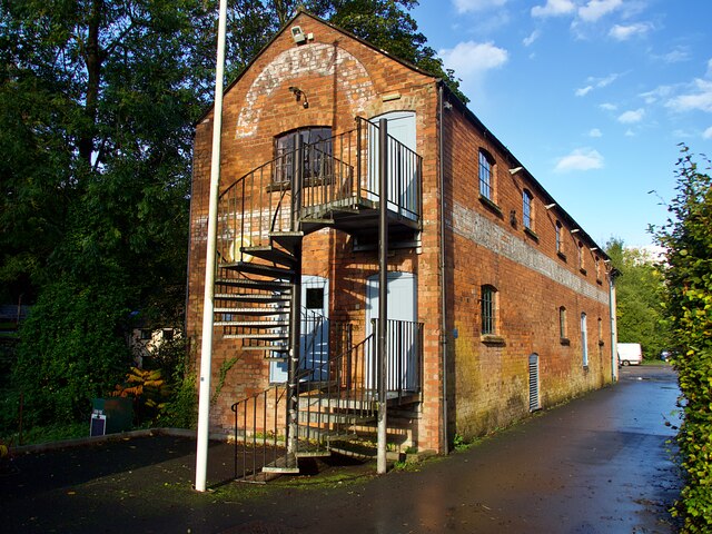
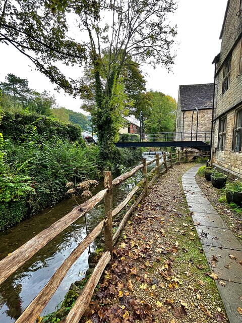
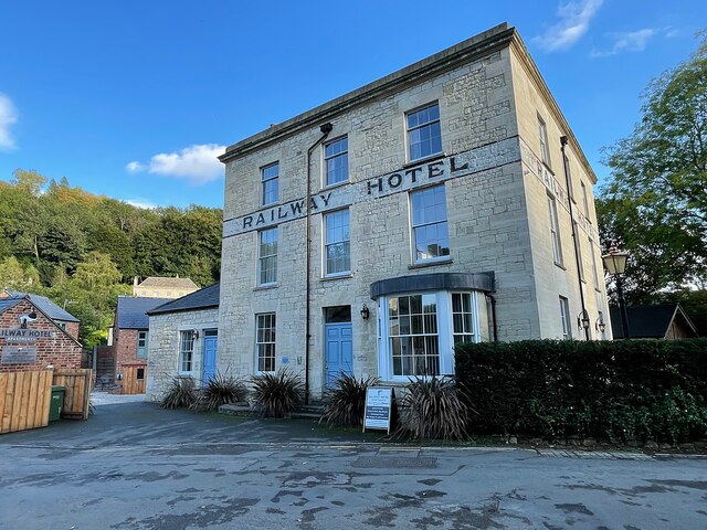
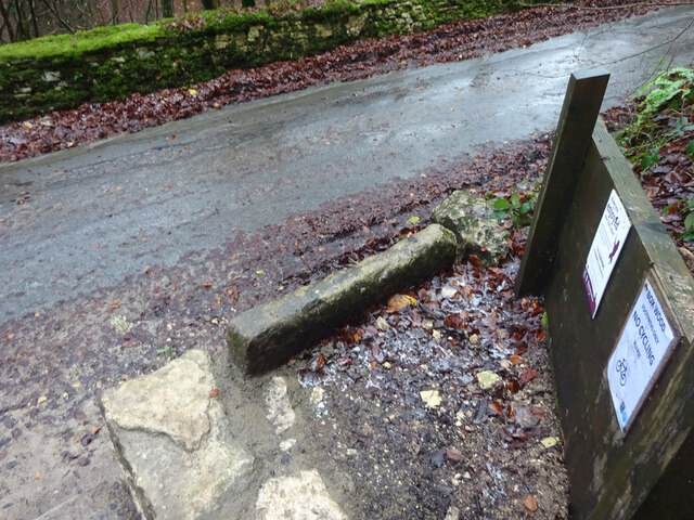
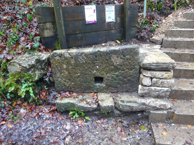
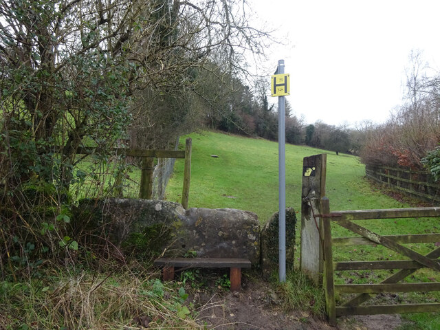
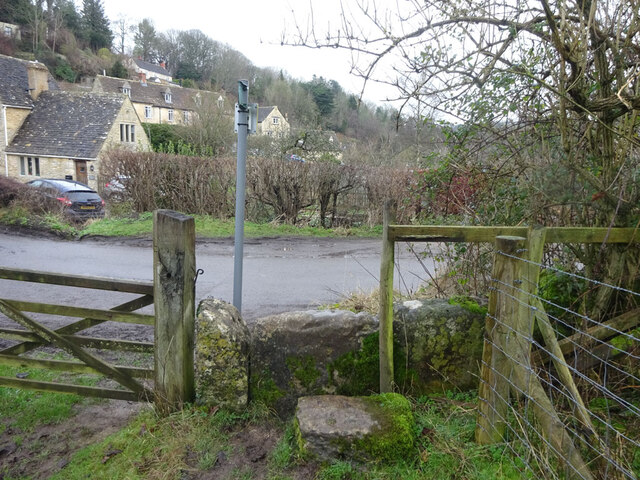
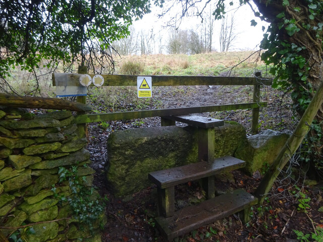
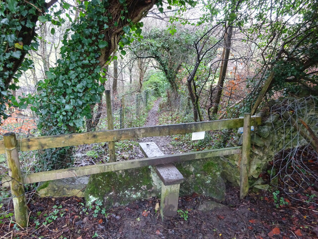
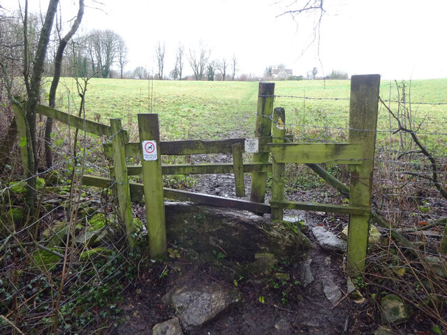
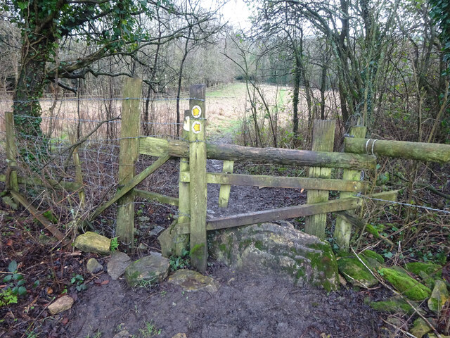
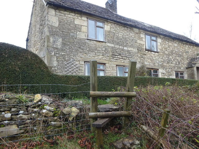
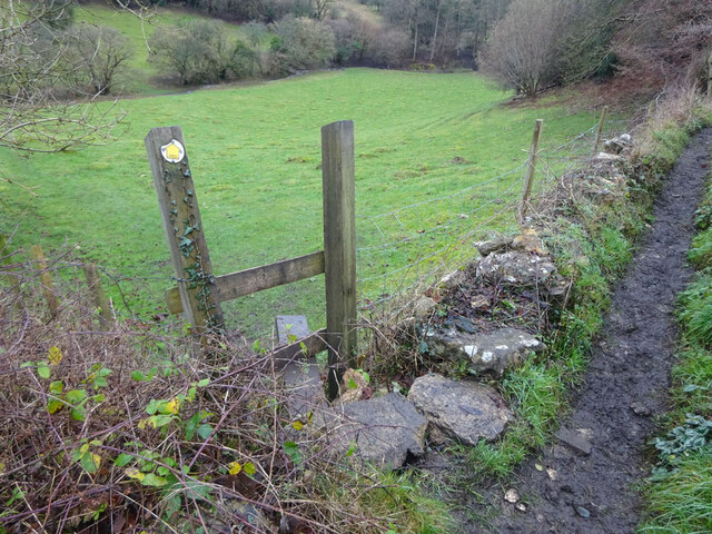
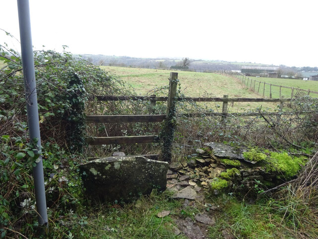
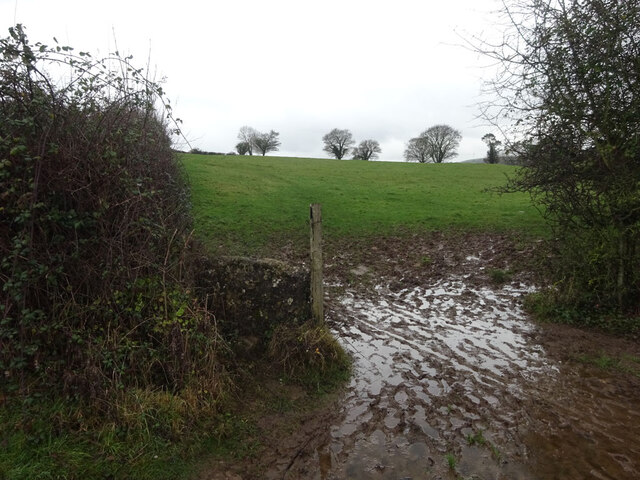
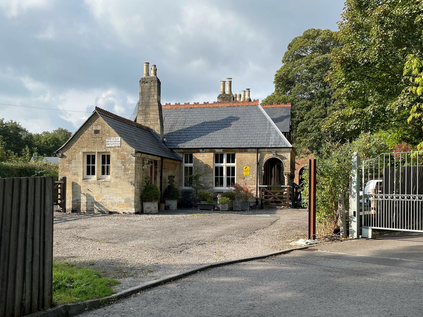
Rockness Images

Images are sourced within 2km of 51.689674/-2.22475 or Grid Reference ST8499. Thanks to Geograph Open Source API. All images are credited.

Forner coal merchant's building at Egypt Mill Now converted to provide accommodation for the Egypt Mill Hotel
Forner coal merchant's building at Egypt Mill
Now converted to provide accommodation for the Egypt Mill Hotel
Nailsworth Stream at Egypt Mill Hotel The hotel is a conversion of a former textile mill, one of many in the Nailsworth valley.
Nailsworth Stream at Egypt Mill Hotel
The hotel is a conversion of a former textile mill, one of many in the Nailsworth valley.
The Railway Hotel, Nailsworth The railway here closed in 1966 though passenger services were terminated in 1949 and the grade II listed hotel now provides luxury holiday apartments.
The Railway Hotel, Nailsworth
The railway here closed in 1966 though passenger services were terminated in 1949 and the grade II listed hotel now provides luxury holiday apartments.
Stone Stile, Devil's Elbow As the footpath leaves Box Wood. The view from the road is <a href="https://www.geograph.org.uk/photo/7038355">ST8699 : Stone Stile, Devil's Elbow</a>.
Stone Stile, Devil's Elbow
As the footpath leaves Box Wood. The view from the road is ST8699 : Stone Stile, Devil's Elbow.
Stone Stile, Devil's Elbow As the footpath leaves Box Wood. The view from the footpath is <a href="https://www.geograph.org.uk/photo/7038353">ST8699 : Stone Stile, Devil's Elbow</a>.
Stone Stile, Devil's Elbow
As the footpath leaves Box Wood. The view from the footpath is ST8699 : Stone Stile, Devil's Elbow.
Stone Stile, Horsley Off Narrowcut Lane, on Gloucestershire footpath MHO75 looking West. The view looking East is <a href="https://www.geograph.org.uk/photo/7067457">ST8398 : Stone Stile, Horsley</a>.
Stone Stile, Horsley
Off Narrowcut Lane, on Gloucestershire footpath MHO75 looking West. The view looking East is ST8398 : Stone Stile, Horsley.
Stone Stile, Horsley Off Narrowcut Lane, on Gloucestershire footpath MHO75 looking East. The view looking West is <a href="https://www.geograph.org.uk/photo/7067455">ST8398 : Stone Stile, Horsley</a>.
Stone Stile, Horsley
Off Narrowcut Lane, on Gloucestershire footpath MHO75 looking East. The view looking West is ST8398 : Stone Stile, Horsley.
Stone Stile, Horsley At the junction of Gloucestershire footpaths MHO19 & MHO18, looking into the field. The view looking SW along MHO18 is <a href="https://www.geograph.org.uk/photo/7067498">ST8398 : Stone Stile, Horsley</a>.
Stone Stile, Horsley
At the junction of Gloucestershire footpaths MHO19 & MHO18, looking into the field. The view looking SW along MHO18 is ST8398 : Stone Stile, Horsley.
Stone Stile, Horsley At the junction of Gloucestershire footpaths MHO19 & MHO18, looking SW along MHO18. The view looking NE into the field is <a href="https://www.geograph.org.uk/photo/7067495">ST8398 : Stone Stile, Horsley</a>.
Stone Stile, Horsley
At the junction of Gloucestershire footpaths MHO19 & MHO18, looking SW along MHO18. The view looking NE into the field is ST8398 : Stone Stile, Horsley.
Stone Stile, Horsley Looking North into the top (rented by Ben) field on Gloucestershire footpaths MHO18 & MHO17. The view looking South is <a href="https://www.geograph.org.uk/photo/7067517">ST8398 : Stone Stile, Horsley</a>.
Stone Stile, Horsley
Looking North into the top (rented by Ben) field on Gloucestershire footpaths MHO18 & MHO17. The view looking South is ST8398 : Stone Stile, Horsley.
Stone Stile, Horsley Looking South from the top field (rented by Ben) on Gloucestershire footpaths MHO18 & MHO17. The view looking North is <a href="https://www.geograph.org.uk/photo/7067514">ST8398 : Stone Stile, Horsley</a>.
Stone Stile, Horsley
Looking South from the top field (rented by Ben) on Gloucestershire footpaths MHO18 & MHO17. The view looking North is ST8398 : Stone Stile, Horsley.
Stone Stile, Horsley A "gap in the wall" stile under the wooden structure. Looking NE on  Gloucestershire footpath MHO62 to MHO70. The view looking into the field is <a href="https://www.geograph.org.uk/photo/7067535">ST8398 : Stone Stile, Horsley</a>.
Stone Stile, Horsley
A "gap in the wall" stile under the wooden structure. Looking NE on Gloucestershire footpath MHO62 to MHO70. The view looking into the field is ST8398 : Stone Stile, Horsley.
Stone Stile, Horsley A "gap in the wall" stile under the wooden structure. Looking SW to  Gloucestershire footpath MHO62 from MHO70. The view looking from the field is <a href="https://www.geograph.org.uk/photo/7067532">ST8398 : Stone Stile, Horsley</a>.
Stone Stile, Horsley
A "gap in the wall" stile under the wooden structure. Looking SW to Gloucestershire footpath MHO62 from MHO70. The view looking from the field is ST8398 : Stone Stile, Horsley.
Stone Stile, Horsley Stile to Gloucestershire footpath MHO68, off a farm track looking SE. The view looking to the track is <a href="https://www.geograph.org.uk/photo/7067615">ST8398 : Stone Stile, Horsley</a>.
Stone Stile, Horsley
Stile to Gloucestershire footpath MHO68, off a farm track looking SE. The view looking to the track is ST8398 : Stone Stile, Horsley.
Stone Stile, Horsley Stile to Gloucestershire footpath MHO68, looking NW to a farm track. The view looking from the track is <a href="https://www.geograph.org.uk/photo/7067609">ST8398 : Stone Stile, Horsley</a>.
Stone Stile, Horsley
Stile to Gloucestershire footpath MHO68, looking NW to a farm track. The view looking from the track is ST8398 : Stone Stile, Horsley.
Stone Stile, Nailsworth On Gloucestershire footpath ZNA19 looking West. The view looking East is <a href="https://www.geograph.org.uk/photo/7067668">ST8499 : Stone Stile, Nailsworth</a>. The gap is the source of a spring running downhill to the right.
Stone Stile, Nailsworth
On Gloucestershire footpath ZNA19 looking West. The view looking East is ST8499 : Stone Stile, Nailsworth. The gap is the source of a spring running downhill to the right.
Stone Stile, Nailsworth On Gloucestershire footpath ZNA19 looking East. The view looking West is <a href="https://www.geograph.org.uk/photo/7067662">ST8499 : Stone Stile, Nailsworth</a>. The gap is the source of a spring running downhill to the left.
Stone Stile, Nailsworth
On Gloucestershire footpath ZNA19 looking East. The view looking West is ST8499 : Stone Stile, Nailsworth. The gap is the source of a spring running downhill to the left.
Stone Stile, Nailsworth Looking West on Gloucestershire footpaths ZNA19 & MHO14 to the u/c road. The view from the road is <a href="https://www.geograph.org.uk/photo/7067689">ST8499 : Stone Stile, Nailsworth</a>.
Stone Stile, Nailsworth
Looking West on Gloucestershire footpaths ZNA19 & MHO14 to the u/c road. The view from the road is ST8499 : Stone Stile, Nailsworth.
Show me another place!

Rockness is located at Grid Ref: ST8499 (Lat: 51.689674, Lng: -2.22475)

Administrative County: Gloucestershire

District: Stroud

Police Authority: Gloucestershire

What 3 Words

///populate.luggage.edge. Near Nailsworth, Gloucestershire

Related Wikis

Nailsworth Town Hall

Nailsworth Town Hall is a municipal building in Old Bristol Road in Nailsworth, Gloucestershire, England. The structure currently operates as the meeting...

Nailsworth

Nailsworth is a town and civil parish in the Stroud District in Gloucestershire, England, lying in one of the Stroud Valleys in the Cotswolds, on the A46...

Newmarket, Gloucestershire

Newmarket is a hamlet in the parish of Horsley, Gloucestershire, England. == References ==

Egypt Mill

Egypt Mill is a Grade II* listed building and a former mill located in Nailsworth, a market town within the Stroud district of Gloucestershire, England...

Nailsworth railway station

Nailsworth railway station served the town of Nailsworth in Gloucestershire, England and was the terminus of the 9.3 km-long Stonehouse and Nailsworth...

Shortwood United F.C.

Shortwood United Football Club is a football club based in Nailsworth, Gloucestershire, England. The club are currently members of the Hellenic League...

The Lawn Ground

The Lawn Ground was located in Nailsworth, Gloucestershire, England, and was, from 1890 to 2006, home to the English football club, Forest Green Rovers...

Horsley, Gloucestershire

Horsley is a village and civil parish about one and a half miles south-west of the small Cotswold market town of Nailsworth. The origins of the name Horsley...

Nearby Amenities

Located within 500m of 51.689674,-2.22475
Bus Stop
Town Hall
Bus: yes
Naptan AtcoCode: 1600GL3399
Naptan Bearing: SW
Naptan CommonName: Town Hall
Naptan NaptanCode: glodgdaj
Naptan Street: Old Bristol Rd B4058
Naptan Verified: no
Public Transport: platform
Source: naptan_import
Lat/Long: 51.6925846/-2.2194229
Bus Stop
Town Hall
Bus: yes
Naptan AtcoCode: 1600GL3400
Naptan Bearing: NE
Naptan CommonName: Town Hall
Naptan NaptanCode: glodgdag
Naptan Street: Old Bristol Rd B4058
Naptan Verified: no
Public Transport: platform
Source: naptan_import
Lat/Long: 51.692658/-2.2194453
Bus Stop
Laurel Cottage
Bench: no
Bus: yes
Naptan AtcoCode: 1600GLA06088
Naptan Bearing: N
Naptan CommonName: Laurel Cottage
Naptan NaptanCode: glogpdtg
Naptan Street: Bath Rd
Naptan Verified: no
Public Transport: platform
Shelter: no
Source: naptan_import
Lat/Long: 51.68544/-2.2230701
Bus Stop
Barcelona Ln
Bus: yes
Naptan AtcoCode: 1600GLA06089
Naptan Bearing: N
Naptan CommonName: Barcelona Ln
Naptan NaptanCode: glogpdpg
Naptan Street: Bath Rd
Naptan Verified: no
Public Transport: platform
Source: naptan_import
Lat/Long: 51.6880135/-2.2220701
Bus Stop
Ragnal Ln
Bus: yes
Naptan AtcoCode: 1600GLA36797
Naptan Bearing: S
Naptan CommonName: Ragnal Ln
Naptan NaptanCode: glogmpjm
Naptan Street: Homefield
Naptan Verified: no
Public Transport: platform
Source: naptan_import
Lat/Long: 51.6912084/-2.2298691
Bus Stop
Concord Sheltered Housing
Bus: yes
Naptan AtcoCode: 1600GLS1084
Naptan Bearing: E
Naptan CommonName: Concord Sheltered Housing
Naptan NaptanCode: glodawdm
Naptan Street: Off Newmarket Rd
Naptan Verified: no
Public Transport: platform
Source: naptan_import
Lat/Long: 51.6936071/-2.2263077
Bus Stop
Ruskin Mill
Bus: yes
Naptan AtcoCode: 1600GLS697
Naptan Bearing: S
Naptan CommonName: Ruskin Mill
Naptan NaptanCode: glodgadt
Naptan Street: Old Bristol Rd B4058
Naptan Verified: no
Public Transport: platform
Source: naptan_import
Lat/Long: 51.689969/-2.2231374
Bus Stop
Ruskin Mill
Bus: yes
Naptan AtcoCode: 1600GLS698
Naptan Bearing: N
Naptan CommonName: Ruskin Mill
Naptan Indicator: Opp
Naptan NaptanCode: glodgadp
Naptan Street: Old Bristol Rd B4058
Naptan Verified: no
Public Transport: platform
Source: naptan_import
Lat/Long: 51.6899444/-2.2232659
Bus Stop
Swan Bank
Bus: yes
Naptan AtcoCode: 1600GLS699
Naptan Bearing: SW
Naptan CommonName: Swan Bank
Naptan Indicator: Opp
Naptan NaptanCode: glodawgt
Naptan Street: Horsley Rd
Naptan Verified: no
Public Transport: platform
Source: naptan_import
Lat/Long: 51.687494/-2.2257275
Bus Stop
Swan Bank
Bus: yes
Naptan AtcoCode: 1600GLS700
Naptan Bearing: NE
Naptan CommonName: Swan Bank
Naptan NaptanCode: glodawgd
Naptan Street: Horsley Rd
Naptan Verified: no
Public Transport: platform
Source: naptan_import
Lat/Long: 51.6875568/-2.2258002
Bus Stop
Ragnal Ln
Bus: yes
Naptan AtcoCode: 1600GLS745
Naptan Bearing: W
Naptan CommonName: Ragnal Ln
Naptan NaptanCode: glodatwj
Naptan Street: Shortwood Rd
Naptan Verified: no
Public Transport: platform
Source: naptan_import
Lat/Long: 51.6923819/-2.2275024
Bus Stop
Ragnal Ln
Bus: yes
Naptan AtcoCode: 1600GLS746
Naptan Bearing: E
Naptan CommonName: Ragnal Ln
Naptan NaptanCode: glodawag
Naptan Street: Shortwood Rd
Naptan Verified: no
Public Transport: platform
Source: naptan_import
Lat/Long: 51.6924094/-2.2272421
Bus Stop
Concord Sheltered Housing
Bus: yes
Naptan AtcoCode: 1600GLS750
Naptan Bearing: E
Naptan CommonName: Concord Sheltered Housing
Naptan Indicator: Opp
Naptan NaptanCode: glodawga
Naptan Street: Newmarket Rd
Naptan Verified: no
Public Transport: platform
Source: naptan_import
Lat/Long: 51.6940843/-2.2259484
Bus Stop
Barcelona Ln
Bus: yes
Naptan AtcoCode: 1600GLS751
Naptan Bearing: S
Naptan CommonName: Barcelona Ln
Naptan Indicator: Opp
Naptan NaptanCode: glodgamp
Naptan Street: Bath Road
Naptan Verified: no
Public Transport: platform
Source: naptan_import
Lat/Long: 51.6880047/-2.2219399
Man Made: tower
Lat/Long: 51.6902342/-2.2198815
Waterway: weir
Lat/Long: 51.6897477/-2.222675
Barrier: stile
Stile: stepover
Lat/Long: 51.686988/-2.229501
Barrier: stile
Stile: stepover
Lat/Long: 51.6881985/-2.2291347
Barrier: stile
Stile: stepover
Lat/Long: 51.6881987/-2.2268248
Barrier: stile
Material: wood
Stile: stepover
Lat/Long: 51.6893439/-2.2297104
Barrier: stile
Stile: stepover
Lat/Long: 51.6885573/-2.2297484
Barrier: stile
Material: wood
Stile: squeezer
Lat/Long: 51.6884767/-2.2298517
Ford: yes
Lat/Long: 51.6884644/-2.2298641
Natural: spring
Lat/Long: 51.6884961/-2.2299845
Waste Basket
Waste: dog_excrement;trash
Lat/Long: 51.6877655/-2.2243594
Power: pole
Lat/Long: 51.6852516/-2.2241991
Power: pole
Lat/Long: 51.6859614/-2.2239696
Power: pole
Lat/Long: 51.6888384/-2.2263378
Power: pole
Lat/Long: 51.6915462/-2.2270788
Power: pole
Lat/Long: 51.6901701/-2.2266871
Power: pole
Lat/Long: 51.6894827/-2.2264932
Power: pole
Lat/Long: 51.6885255/-2.2268164
Power: pole
Lat/Long: 51.6908871/-2.2268947
Power: pole
Lat/Long: 51.6879529/-2.2277418
Noexit: yes
Lat/Long: 51.6918051/-2.2210094
Barrier: cycle_barrier
Lat/Long: 51.691681/-2.2212349
Artwork Type: sculpture
Tourism: artwork
Lat/Long: 51.6876768/-2.2245288
Artwork Type: sculpture
Note: During the day, the sculpture looks like an un-used pedestal. At night, this is lit up and artwork can be seen through drilled holes in the monolith.
Tourism: artwork
Lat/Long: 51.6893357/-2.2229832
Waste Basket
Waste: dog_excrement;trash
Lat/Long: 51.6895832/-2.2231432
Bicycle Parking
Bicycle Parking: stands
Lat/Long: 51.6897696/-2.2231636
Bicycle Parking
Bicycle Parking: stands
Fixme: Location approximate, not visible on bing imagery
Lat/Long: 51.6865254/-2.2268246
Cafe
Ruskin Mill Cafe
Addr City: Stroud
Addr Postcode: GL6 0LA
Addr Town: Nailsworth
Diet Vegan: yes
Diet Vegetarian: yes
Fhrs Id: 154396
Level: 1
Opening Hours: Mo-Su 10:00-16:00; PH open
Lat/Long: 51.689787/-2.2230888
Bench
Backrest: no
Material: wood
Lat/Long: 51.6887749/-2.2234958
Bench
Backrest: yes
Material: wood
Lat/Long: 51.6876955/-2.2244977
Fountain
Drinking Water: no
Lat/Long: 51.6895959/-2.2230777
Fountain
Drinking Water: no
Lat/Long: 51.6865648/-2.2264355
Noexit: yes
Lat/Long: 51.6897149/-2.22275
Information: map
Map Size: site
Tourism: information
Lat/Long: 51.6895751/-2.2231559
Post Box
Brand: Royal Mail
Brand Wikidata: Q638098
Collection Times: Mo-Fr 09:00; Sa 07:00
Colour: red
Drive Through: no
Operator: Royal Mail
Operator Wikidata: Q638098
Ref: GL6 64
Lat/Long: 51.6926169/-2.2298693
Direction: 50
Historic: memorial
Inscription: CHARLEY F. EVANS Private 8th Gloucestershire Rgt. Lived Here Killed 9th July 1917 Aged 21 Commemorated on the Menin Gate Memorial Leper Belgium Lest We Forget
Material: metal
Memorial: plaque
Wikimedia Commons: File:Charley F Evans plaque, Nailsworth.jpg
Lat/Long: 51.6926884/-2.2299779
Direction: 125
Historic: memorial
Inscription: PERCY J. PETERS Private 5th Wiltshire Regiment Lived Here Killed 29th March 1917 Aged 30 Commemorated on the Basra Memorial Iraq Lest We Forget
Material: metal
Memorial: plaque
Wikimedia Commons: File:Percy J Pegler memorial plaque, Nailsworth.jpg
Lat/Long: 51.6902765/-2.2179465
Barrier: stile
Material: wood
Stile: stepover
Lat/Long: 51.6884986/-2.2298238
Barrier: stile
Lat/Long: 51.6903294/-2.2317349
The data included in this document is from www.openstreetmap.org. The data is made available under ODbL.

Have you been to Rockness?

Leave your review of Rockness below (or comments, questions and feedback).