Worley

Settlement in Gloucestershire Stroud

England

Worley

Forner coal merchant's building at Egypt Mill Now converted to provide accommodation for the Egypt Mill Hotel
Forner coal merchant's building at Egypt Mill Credit: Graham Hogg

Worley is a small village located in the county of Gloucestershire, England. Situated approximately 10 miles north of Gloucester, Worley is nestled in the picturesque countryside of the Cotswolds, renowned for its rolling hills and charming rural scenery.

With a population of around 500 residents, Worley has a close-knit and friendly community. The village is primarily residential, consisting of a mix of traditional Cotswold stone cottages and newer houses. The architecture reflects the region's heritage, with many buildings dating back several centuries.

Despite its small size, Worley offers a range of amenities to its residents. There is a local pub, The Red Lion, which serves as a social hub for the community. The village also has a primary school, Worley Primary, providing education for children aged 4-11. For daily needs, residents can rely on a small shop that stocks essential groceries.

The surrounding countryside provides ample opportunities for outdoor activities and exploration. Many residents enjoy long walks or bike rides through the scenic trails that crisscross the area. The nearby River Severn offers fishing and boating opportunities for enthusiasts.

Worley is well-connected to the wider region. The A417 road runs adjacent to the village, providing convenient access to Gloucester and other nearby towns. The village is also served by regular bus services, connecting it to various destinations in the area.

Overall, Worley offers a peaceful and idyllic rural lifestyle, with its stunning natural surroundings and strong community spirit. Its location provides a perfect balance between tranquility and accessibility to larger towns and cities in Gloucestershire.

If you have any feedback on the listing, please let us know in the comments section below.
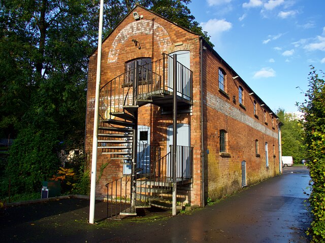
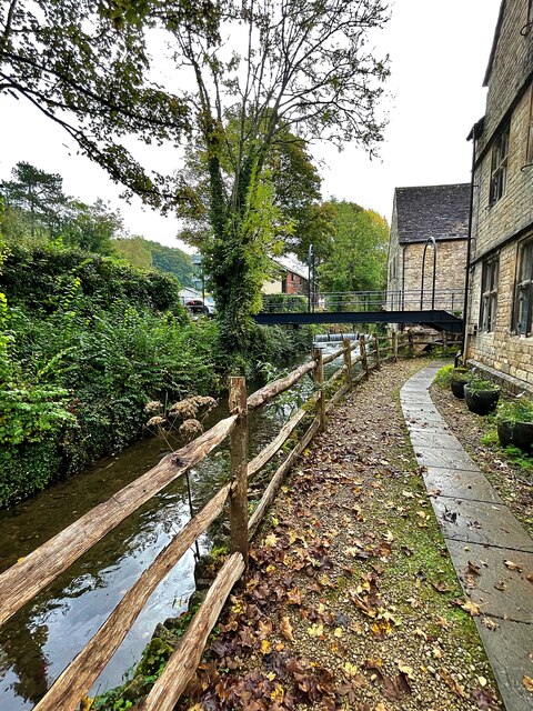
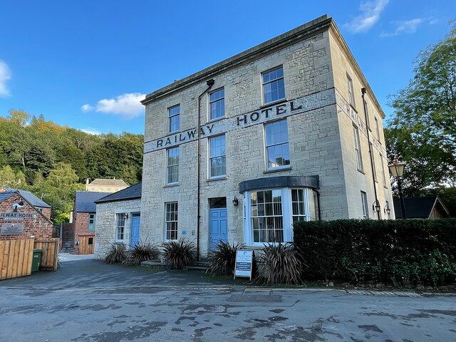
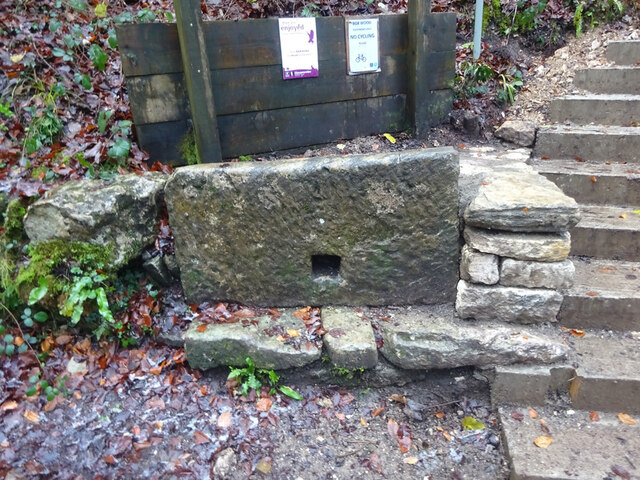
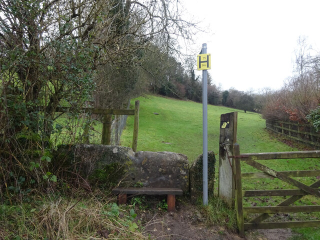
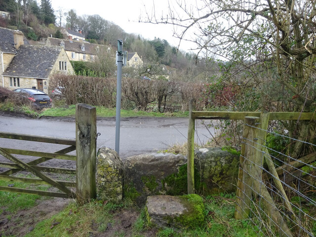
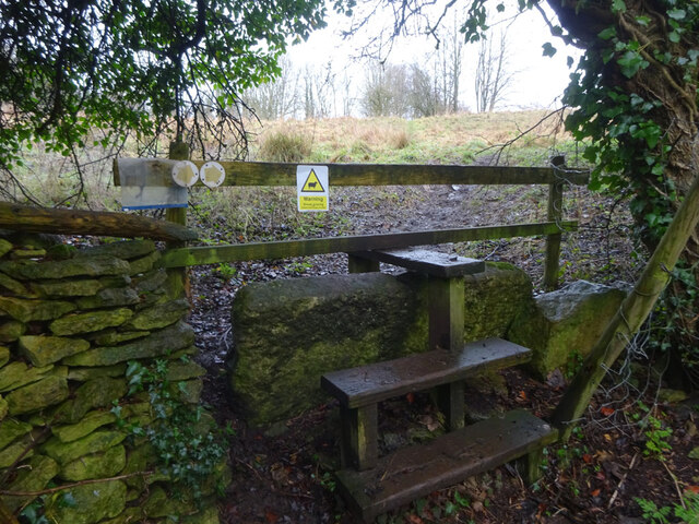
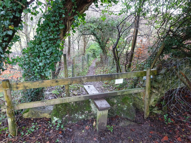
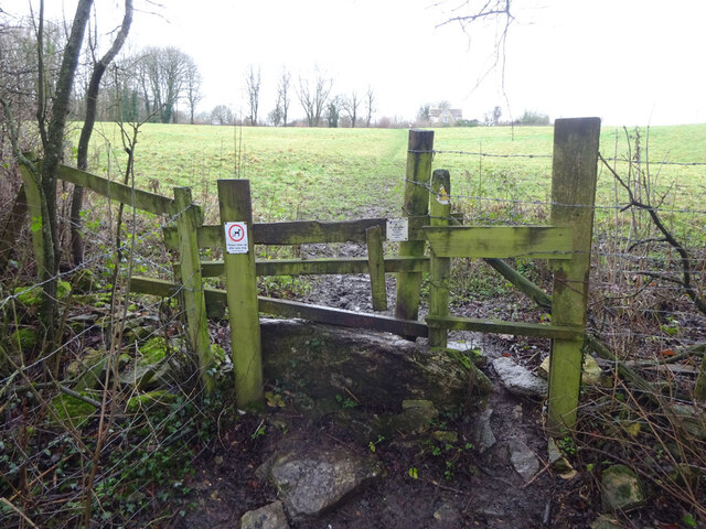
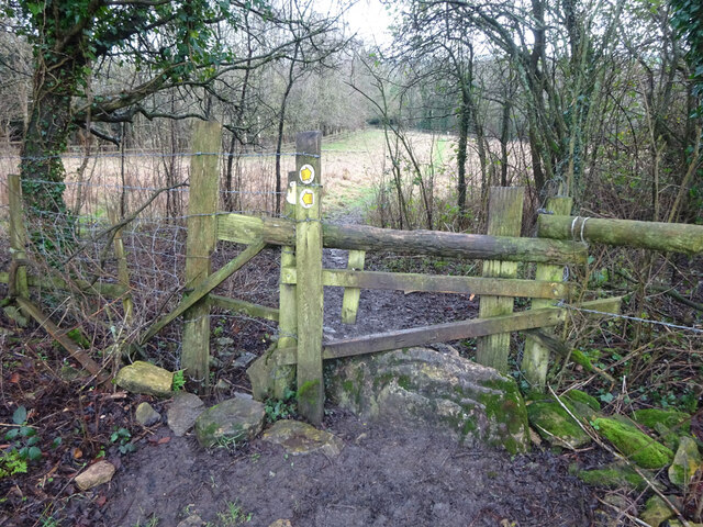
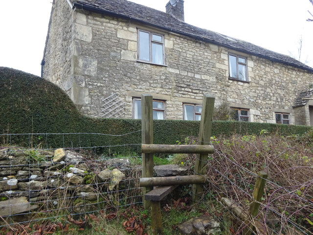
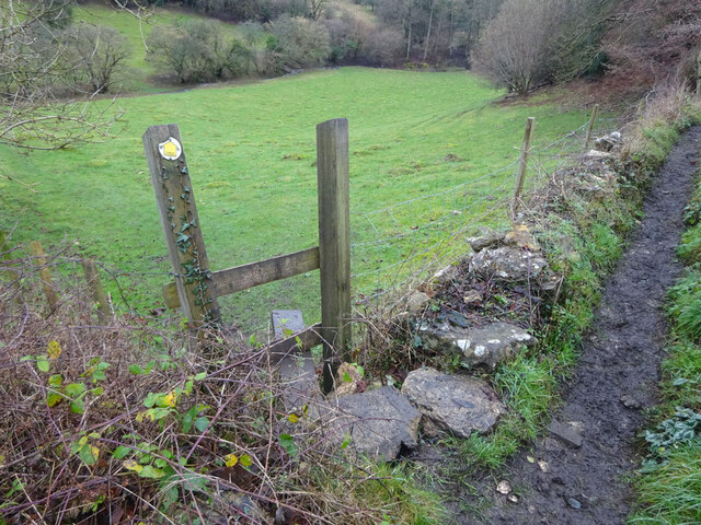
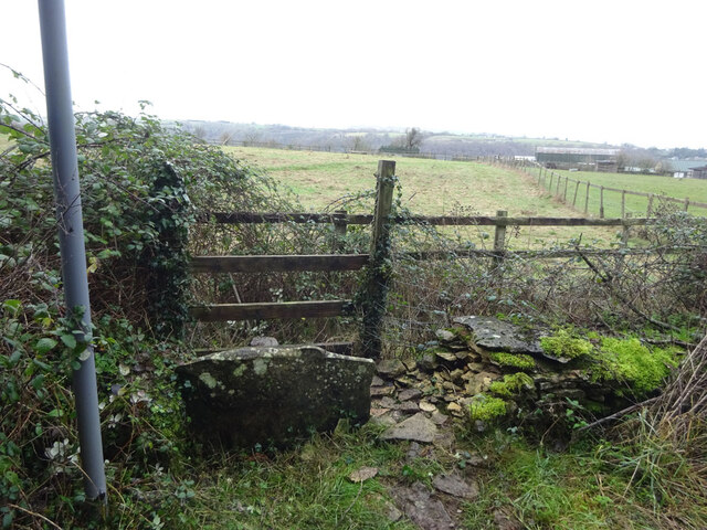
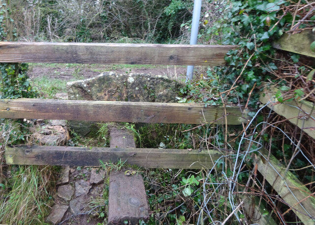
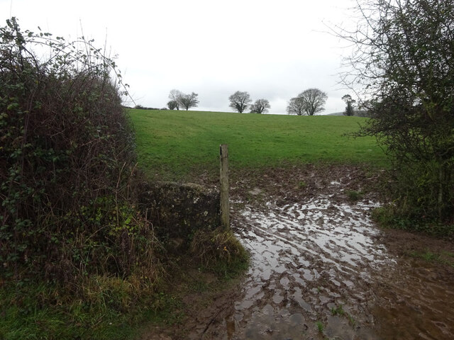
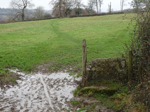
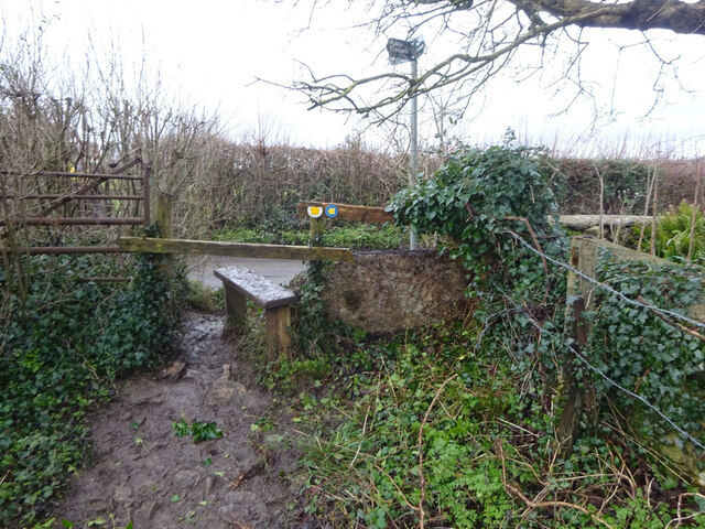
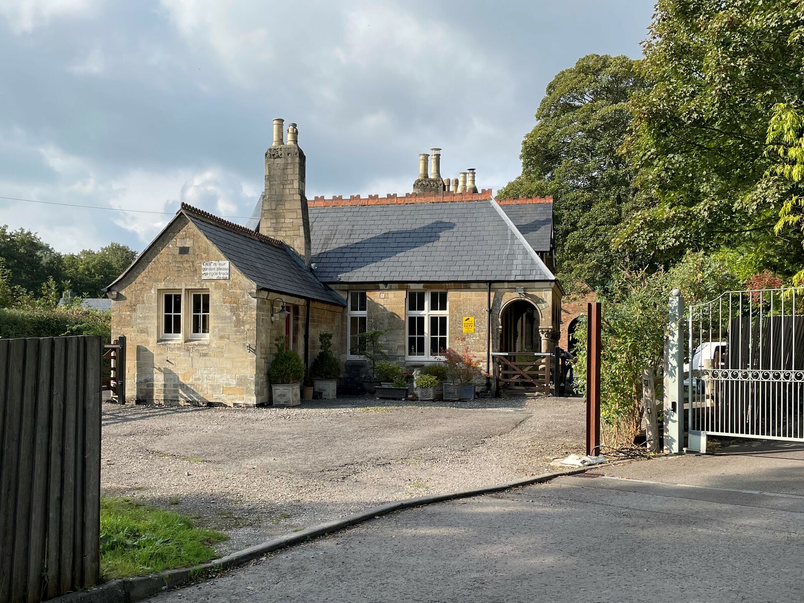
Worley Images

Images are sourced within 2km of 51.694333/-2.2285577 or Grid Reference ST8499. Thanks to Geograph Open Source API. All images are credited.

Forner coal merchant's building at Egypt Mill Now converted to provide accommodation for the Egypt Mill Hotel
Forner coal merchant's building at Egypt Mill
Now converted to provide accommodation for the Egypt Mill Hotel
Nailsworth Stream at Egypt Mill Hotel The hotel is a conversion of a former textile mill, one of many in the Nailsworth valley.
Nailsworth Stream at Egypt Mill Hotel
The hotel is a conversion of a former textile mill, one of many in the Nailsworth valley.
The Railway Hotel, Nailsworth The railway here closed in 1966 though passenger services were terminated in 1949 and the grade II listed hotel now provides luxury holiday apartments.
The Railway Hotel, Nailsworth
The railway here closed in 1966 though passenger services were terminated in 1949 and the grade II listed hotel now provides luxury holiday apartments.
Stone Stile, Devil's Elbow As the footpath leaves Box Wood. The view from the road is <a href="https://www.geograph.org.uk/photo/7038355">ST8699 : Stone Stile, Devil's Elbow</a>.
Stone Stile, Devil's Elbow
As the footpath leaves Box Wood. The view from the road is ST8699 : Stone Stile, Devil's Elbow.
Stone Stile, Devil's Elbow As the footpath leaves Box Wood. The view from the footpath is <a href="https://www.geograph.org.uk/photo/7038353">ST8699 : Stone Stile, Devil's Elbow</a>.
Stone Stile, Devil's Elbow
As the footpath leaves Box Wood. The view from the footpath is ST8699 : Stone Stile, Devil's Elbow.
Stone Stile, Horsley Off Narrowcut Lane, on Gloucestershire footpath MHO75 looking West. The view looking East is <a href="https://www.geograph.org.uk/photo/7067457">ST8398 : Stone Stile, Horsley</a>.
Stone Stile, Horsley
Off Narrowcut Lane, on Gloucestershire footpath MHO75 looking West. The view looking East is ST8398 : Stone Stile, Horsley.
Stone Stile, Horsley Off Narrowcut Lane, on Gloucestershire footpath MHO75 looking East. The view looking West is <a href="https://www.geograph.org.uk/photo/7067455">ST8398 : Stone Stile, Horsley</a>.
Stone Stile, Horsley
Off Narrowcut Lane, on Gloucestershire footpath MHO75 looking East. The view looking West is ST8398 : Stone Stile, Horsley.
Stone Stile, Horsley At the junction of Gloucestershire footpaths MHO19 & MHO18, looking into the field. The view looking SW along MHO18 is <a href="https://www.geograph.org.uk/photo/7067498">ST8398 : Stone Stile, Horsley</a>.
Stone Stile, Horsley
At the junction of Gloucestershire footpaths MHO19 & MHO18, looking into the field. The view looking SW along MHO18 is ST8398 : Stone Stile, Horsley.
Stone Stile, Horsley At the junction of Gloucestershire footpaths MHO19 & MHO18, looking SW along MHO18. The view looking NE into the field is <a href="https://www.geograph.org.uk/photo/7067495">ST8398 : Stone Stile, Horsley</a>.
Stone Stile, Horsley
At the junction of Gloucestershire footpaths MHO19 & MHO18, looking SW along MHO18. The view looking NE into the field is ST8398 : Stone Stile, Horsley.
Stone Stile, Horsley Looking North into the top (rented by Ben) field on Gloucestershire footpaths MHO18 & MHO17. The view looking South is <a href="https://www.geograph.org.uk/photo/7067517">ST8398 : Stone Stile, Horsley</a>.
Stone Stile, Horsley
Looking North into the top (rented by Ben) field on Gloucestershire footpaths MHO18 & MHO17. The view looking South is ST8398 : Stone Stile, Horsley.
Stone Stile, Horsley Looking South from the top field (rented by Ben) on Gloucestershire footpaths MHO18 & MHO17. The view looking North is <a href="https://www.geograph.org.uk/photo/7067514">ST8398 : Stone Stile, Horsley</a>.
Stone Stile, Horsley
Looking South from the top field (rented by Ben) on Gloucestershire footpaths MHO18 & MHO17. The view looking North is ST8398 : Stone Stile, Horsley.
Stone Stile, Horsley A "gap in the wall" stile under the wooden structure. Looking NE on  Gloucestershire footpath MHO62 to MHO70. The view looking into the field is <a href="https://www.geograph.org.uk/photo/7067535">ST8398 : Stone Stile, Horsley</a>.
Stone Stile, Horsley
A "gap in the wall" stile under the wooden structure. Looking NE on Gloucestershire footpath MHO62 to MHO70. The view looking into the field is ST8398 : Stone Stile, Horsley.
Stone Stile, Horsley A "gap in the wall" stile under the wooden structure. Looking SW to  Gloucestershire footpath MHO62 from MHO70. The view looking from the field is <a href="https://www.geograph.org.uk/photo/7067532">ST8398 : Stone Stile, Horsley</a>.
Stone Stile, Horsley
A "gap in the wall" stile under the wooden structure. Looking SW to Gloucestershire footpath MHO62 from MHO70. The view looking from the field is ST8398 : Stone Stile, Horsley.
Stone Stile, Horsley Stile to Gloucestershire footpath MHO68, off a farm track looking SE. The view looking to the track is <a href="https://www.geograph.org.uk/photo/7067615">ST8398 : Stone Stile, Horsley</a>.
Stone Stile, Horsley
Stile to Gloucestershire footpath MHO68, off a farm track looking SE. The view looking to the track is ST8398 : Stone Stile, Horsley.
Stone Stile, Horsley Stile to Gloucestershire footpath MHO68, looking NW to a farm track. The view looking from the track is <a href="https://www.geograph.org.uk/photo/7067609">ST8398 : Stone Stile, Horsley</a>.
Stone Stile, Horsley
Stile to Gloucestershire footpath MHO68, looking NW to a farm track. The view looking from the track is ST8398 : Stone Stile, Horsley.
Stone Stile, Nailsworth On Gloucestershire footpath ZNA19 looking West. The view looking East is <a href="https://www.geograph.org.uk/photo/7067668">ST8499 : Stone Stile, Nailsworth</a>. The gap is the source of a spring running downhill to the right.
Stone Stile, Nailsworth
On Gloucestershire footpath ZNA19 looking West. The view looking East is ST8499 : Stone Stile, Nailsworth. The gap is the source of a spring running downhill to the right.
Stone Stile, Nailsworth On Gloucestershire footpath ZNA19 looking East. The view looking West is <a href="https://www.geograph.org.uk/photo/7067662">ST8499 : Stone Stile, Nailsworth</a>. The gap is the source of a spring running downhill to the left.
Stone Stile, Nailsworth
On Gloucestershire footpath ZNA19 looking East. The view looking West is ST8499 : Stone Stile, Nailsworth. The gap is the source of a spring running downhill to the left.
Stone Stile, Nailsworth Looking West on Gloucestershire footpaths ZNA19 & MHO14 to the u/c road. The view from the road is <a href="https://www.geograph.org.uk/photo/7067689">ST8499 : Stone Stile, Nailsworth</a>.
Stone Stile, Nailsworth
Looking West on Gloucestershire footpaths ZNA19 & MHO14 to the u/c road. The view from the road is ST8499 : Stone Stile, Nailsworth.
Show me another place!

Worley is located at Grid Ref: ST8499 (Lat: 51.694333, Lng: -2.2285577)

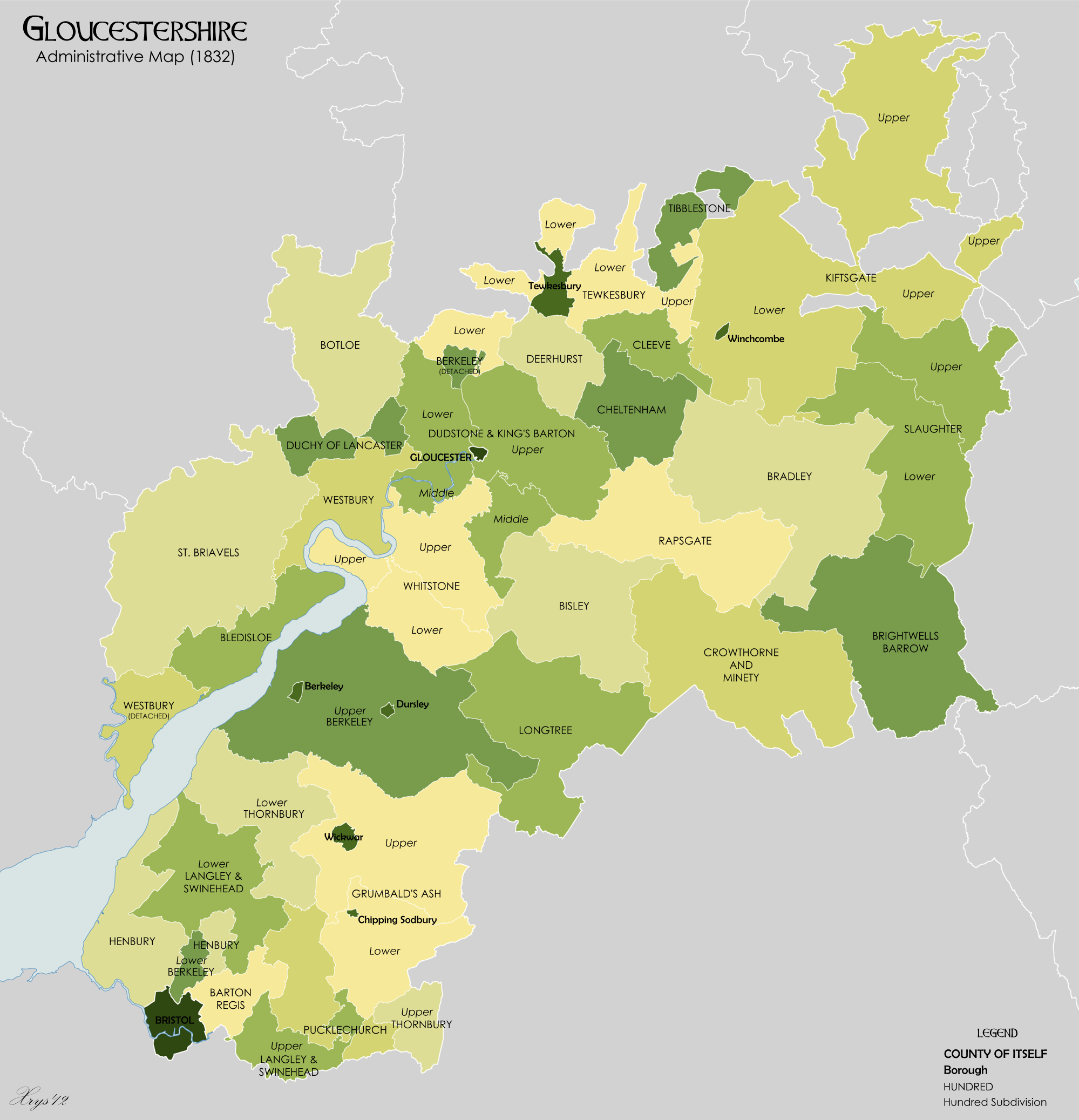
Administrative County: Gloucestershire

District: Stroud

Police Authority: Gloucestershire

What 3 Words

///climbing.rubble.ambushed. Near Nailsworth, Gloucestershire

Related Wikis

Newmarket, Gloucestershire

Newmarket is a hamlet in the parish of Horsley, Gloucestershire, England. == References ==

Nailsworth

Nailsworth is a town and civil parish in the Stroud District in Gloucestershire, England, lying in one of the Stroud Valleys in the Cotswolds, on the A46...

The Lawn Ground

The Lawn Ground was located in Nailsworth, Gloucestershire, England, and was, from 1890 to 2006, home to the English football club, Forest Green Rovers...

Whitstone Hundred

Whitstone was an ancient hundred of Gloucestershire, England. From the 13th century it comprised two adjacent divisions, which included the ancient parishes...

Nailsworth Town Hall

Nailsworth Town Hall is a municipal building in Old Bristol Road in Nailsworth, Gloucestershire, England. The structure currently operates as the meeting...

Nailsworth railway station

Nailsworth railway station served the town of Nailsworth in Gloucestershire, England and was the terminus of the 9.3 km-long Stonehouse and Nailsworth...

Egypt Mill

Egypt Mill is a Grade II* listed building and a former mill located in Nailsworth, a market town within the Stroud district of Gloucestershire, England...

Shortwood United F.C.

Shortwood United Football Club is a football club based in Nailsworth, Gloucestershire, England. The club are currently members of the Hellenic League...

Nearby Amenities

Located within 500m of 51.694333,-2.2285577
Bus Stop
Homefield Turn
Bus: yes
Naptan AtcoCode: 1600GLA90836
Naptan Bearing: NE
Naptan CommonName: Homefield Turn
Naptan NaptanCode: glogpapj
Naptan Street: Wallow Green Ln
Naptan Verified: no
Public Transport: platform
Source: naptan_import
Lat/Long: 51.6928523/-2.2338586
Public Bookcase
Defibrillator
Booth: K6
Defibrillator Location: inside old red phone box (that is now also used as book exchange) , Homfield, Shortwood
Disused Amenity: telephone
Emergency: defibrillator
Indoor: no
Man Made: telephone_box
Public Bookcase Type: phone_box
Ref: C0147X
Lat/Long: 51.6926704/-2.233643
Post Box
Post Box Type: lamp
Postal Code: GL6
Ref: GL6 247
Royal Cypher: EIIR
Royal Cypher Wikidata: Q33102113
Lat/Long: 51.6928545/-2.2338955
Barrier: bollard
Bollard: fixed
Foot: yes
Lat/Long: 51.6955773/-2.2243652
Note: Issue "check where it stops being a road" addressed 25/09/22. Then end of the road is not signposted (It continues onwards but narrows steadily), but this is the last point at which another property can be accessed before the bollards.
Lat/Long: 51.6954307/-2.2230286
Post Box
Post Box Type: lamp
Postal Code: GL6
Ref: GL6 129
Lat/Long: 51.6973228/-2.2289623
Telephone
Booth: K6
Covered: booth
Operator: BT
Operator Wikidata: Q593786
Phone: +44 1453 832886
Lat/Long: 51.6980237/-2.2272769
Access: no
Barrier: bollard
Bicycle: yes
Foot: yes
Lat/Long: 51.6968569/-2.2308488
Post Box
Brand: Royal Mail
Brand Wikidata: Q638098
Operator: Royal Mail
Operator Wikidata: Q638098
Postal Code: GL6
Ref: GL6 25
Lat/Long: 51.6974074/-2.2319377
Turning Circle
Lat/Long: 51.6972214/-2.2260049
The George Inn
Naptan AtcoCode: 1600GL3462
Naptan Bearing: SE
Naptan CommonName: The George Inn
Naptan NaptanCode: glodapjt
Naptan Street: Newmarket Rd
Naptan Verified: no
Source: naptan_import
Lat/Long: 51.6953762/-2.2313941
Bus Stop
Bunting Hill
Bus: yes
Naptan AtcoCode: 1600GL824
Naptan Bearing: W
Naptan CommonName: Bunting Hill
Naptan NaptanCode: glodamwp
Naptan PlusbusZoneRef: STRUD
Naptan Street: Bunting Hill
Naptan Verified: no
Public Transport: platform
Source: naptan_import
Lat/Long: 51.6964188/-2.232254
Bus Stop
Ragnal Ln
Bus: yes
Naptan AtcoCode: 1600GLA36797
Naptan Bearing: S
Naptan CommonName: Ragnal Ln
Naptan NaptanCode: glogmpjm
Naptan Street: Homefield
Naptan Verified: no
Public Transport: platform
Source: naptan_import
Lat/Long: 51.6912084/-2.2298691
Bus Stop
Homefield Turn
Bus: yes
Naptan AtcoCode: 1600GLA90835
Naptan Bearing: SW
Naptan CommonName: Homefield Turn
Naptan NaptanCode: glogpapg
Naptan Street: Wallow Green Ln
Naptan Verified: no
Public Transport: platform
Source: naptan_import
Lat/Long: 51.6928013/-2.2337256
Bus Stop
Concord Sheltered Housing
Bus: yes
Naptan AtcoCode: 1600GLS1084
Naptan Bearing: E
Naptan CommonName: Concord Sheltered Housing
Naptan NaptanCode: glodawdm
Naptan Street: Off Newmarket Rd
Naptan Verified: no
Public Transport: platform
Source: naptan_import
Lat/Long: 51.6936071/-2.2263077
Bus Stop
Churchill Road
Bus: yes
Naptan AtcoCode: 1600GLS365
Naptan Bearing: NW
Naptan CommonName: Churchill Rd
Naptan NaptanCode: glodawpw
Naptan PlusbusZoneRef: STRUD
Naptan Street: Nympsfield Rd
Naptan Verified: no
Public Transport: platform
Source: naptan_import
Lat/Long: 51.6972169/-2.2240975
Bus Stop
Northfield Road
Bench: no
Bin: yes
Bus: yes
Lit: yes
Naptan AtcoCode: 1600GLS366
Naptan Bearing: SE
Naptan CommonName: Northfields Rd
Naptan Indicator: Opp
Naptan NaptanCode: glodgagj
Naptan PlusbusZoneRef: STRUD
Naptan Street: Nympsfield Rd
Naptan Verified: no
Public Transport: platform
Shelter: no
Source: naptan_import
Tactile Paving: no
Lat/Long: 51.6970037/-2.2227363
Bus Stop
Moffatt Road
Bus: yes
Naptan AtcoCode: 1600GLS370
Naptan Bearing: SE
Naptan CommonName: Moffatt Road
Naptan NaptanCode: glodawja
Naptan PlusbusZoneRef: STRUD
Naptan Street: Nympsfield Rd
Naptan Verified: no
Public Transport: platform
Source: naptan_import
Lat/Long: 51.698029/-2.2272558
Bus Stop
Ragnal Ln
Bus: yes
Naptan AtcoCode: 1600GLS745
Naptan Bearing: W
Naptan CommonName: Ragnal Ln
Naptan NaptanCode: glodatwj
Naptan Street: Shortwood Rd
Naptan Verified: no
Public Transport: platform
Source: naptan_import
Lat/Long: 51.6923819/-2.2275024
Bus Stop
Ragnal Ln
Bus: yes
Naptan AtcoCode: 1600GLS746
Naptan Bearing: E
Naptan CommonName: Ragnal Ln
Naptan NaptanCode: glodawag
Naptan Street: Shortwood Rd
Naptan Verified: no
Public Transport: platform
Source: naptan_import
Lat/Long: 51.6924094/-2.2272421
Bus Stop
Homefield
Bus: yes
Naptan AtcoCode: 1600GLS747
Naptan Bearing: SE
Naptan CommonName: Homefield
Naptan NaptanCode: glodapap
Naptan Street: Homefield
Naptan Verified: no
Public Transport: platform
Source: naptan_import
Lat/Long: 51.6922113/-2.2319865
Bus Stop
Homefield
Bus: yes
Naptan AtcoCode: 1600GLS748
Naptan Bearing: NW
Naptan CommonName: Homefield
Naptan NaptanCode: glodapja
Naptan Street: Homefield
Naptan Verified: no
Public Transport: platform
Source: naptan_import
Lat/Long: 51.6917178/-2.2314921
Bus Stop
Concord Sheltered Housing
Bus: yes
Naptan AtcoCode: 1600GLS749
Naptan Bearing: W
Naptan CommonName: Concord Sheltered Housing
Naptan NaptanCode: glodawdj
Naptan Street: Newmarket Rd
Naptan Verified: no
Public Transport: platform
Source: naptan_import
Lat/Long: 51.6940655/-2.2263968
Bus Stop
Concord Sheltered Housing
Bus: yes
Naptan AtcoCode: 1600GLS750
Naptan Bearing: E
Naptan CommonName: Concord Sheltered Housing
Naptan Indicator: Opp
Naptan NaptanCode: glodawga
Naptan Street: Newmarket Rd
Naptan Verified: no
Public Transport: platform
Source: naptan_import
Lat/Long: 51.6940843/-2.2259484
Bus Stop
Lawnside
Bus: yes
Naptan AtcoCode: 1600GLS776
Naptan Bearing: N
Naptan CommonName: Lawnside
Naptan NaptanCode: glodampj
Naptan PlusbusZoneRef: STRUD
Naptan Street: Bunting Way
Naptan Verified: no
Public Transport: platform
Source: naptan_import
Lat/Long: 51.697496/-2.2331276
Mini Roundabout
Direction: clockwise
Lat/Long: 51.6954597/-2.232059
Lawnside Stores
Addr City: Stroud
Addr Housenumber: 5
Addr Place: Forest Green
Addr Postcode: GL6 0ER
Addr Street: Lawnside
Addr Town: Nailsworth
Brand: Premier
Brand Wikidata: Q7240340
Fhrs Id: 154411
Shop: convenience
Lat/Long: 51.6974371/-2.2319362
Pub
The George Inn
Lat/Long: 51.6954411/-2.2313577
Crossing
Lat/Long: 51.6925703/-2.2336231
Barrier: stile
Material: wood
Stile: stepover
Lat/Long: 51.6940771/-2.2310288
Noexit: yes
Lat/Long: 51.6965174/-2.2231064
Noexit: yes
Lat/Long: 51.6965385/-2.2229922
Power: substation
Lat/Long: 51.6926509/-2.2336146
Advertising: board
Lit: no
Support: pole
Lat/Long: 51.6928544/-2.233932
Bench
Lat/Long: 51.6927789/-2.2345695
Bench
Lat/Long: 51.6928504/-2.2348645
Power: pole
Lat/Long: 51.6915462/-2.2270788
Power: pole
Lat/Long: 51.6901701/-2.2266871
Power: pole
Lat/Long: 51.6908871/-2.2268947
Post Box
Brand: Royal Mail
Brand Wikidata: Q638098
Collection Times: Mo-Fr 09:00; Sa 07:00
Operator: Royal Mail
Operator Wikidata: Q638098
Ref: GL6 109
Lat/Long: 51.6955447/-2.2320505
Post Box
Brand: Royal Mail
Brand Wikidata: Q638098
Collection Times: Mo-Fr 09:00; Sa 07:00
Colour: red
Drive Through: no
Operator: Royal Mail
Operator Wikidata: Q638098
Ref: GL6 64
Lat/Long: 51.6926169/-2.2298693
Noexit: yes
Lat/Long: 51.6954002/-2.223592
Barrier: stile
Material: wood
Stile: stepover
Lat/Long: 51.6936134/-2.2287434
Barrier: stile
Material: wood
Stile: stepover
Lat/Long: 51.69365/-2.2287053
Barrier: kissing_gate
Lat/Long: 51.6941248/-2.2274959
Noexit: yes
Lat/Long: 51.6944314/-2.2240477
Direction: 40
Historic: memorial
Inscription: Henry Clissold Major 474 Field Coy. Royal Engineers Lived Here Killed 28th September 1917 Aged 46 Buried: Duhallow ADS Cemetery, Belgium Awarded D S O Lest We Forget
Material: metal
Memorial: plaque
Lat/Long: 51.6948566/-2.2223714
Direction: 70
Historic: memorial
Inscription: ERIC RUEGG CALVERT 2nd Lieutenant Royal Sussex Rgt. Lived Here Killed 8th Aug. 1917 Aged 27 Buried in Dickebusch New Military Extention Cemetery, Belgium Lest We Forget
Material: metal
Memorial: plaque
Lat/Long: 51.6944472/-2.2238199
Colour: #2684ca
Direction: 40
Historic: memorial
Inscription: BERTIE HARRISON Private 4th Worcestershire Rgt. Lived Here Died 31st May 1915 Aged 19 Buried in Twelve Tree Copse Cemetery Gallipoll, Turkey Lest We Forget
Material: metal
Memorial: plaque
Lat/Long: 51.6987375/-2.2287532
Direction: 20
Historic: memorial
Inscription: Wallace Creed Private D Coy. 6th Somerset Light Infantry Lived Here Died 21st March 1918 Aged 21 Commemorated on Poziers Memorial France Lest We Forget
Material: metal
Memorial: plaque
Wikimedia Commons: File:Wallace Creed plaque Nailsworth.jpg
Lat/Long: 51.6981017/-2.2296106
Direction: 50
Historic: memorial
Inscription: CHARLEY F. EVANS Private 8th Gloucestershire Rgt. Lived Here Killed 9th July 1917 Aged 21 Commemorated on the Menin Gate Memorial Leper Belgium Lest We Forget
Material: metal
Memorial: plaque
Wikimedia Commons: File:Charley F Evans plaque, Nailsworth.jpg
Lat/Long: 51.6926884/-2.2299779
Barrier: stile
Lat/Long: 51.6903294/-2.2317349
Bus Stop
Star Hill
Bus: yes
Public Transport: platform
Lat/Long: 51.698258/-2.2308773
Addr City: Stroud
Addr Housename: Springfields
Addr Postcode: GL6 0RA
Addr Street: Chestnut Hill
Addr Town: Nailsworth
Lat/Long: 51.6945275/-2.2218175
The data included in this document is from www.openstreetmap.org. The data is made available under ODbL.

Have you been to Worley?

Leave your review of Worley below (or comments, questions and feedback).