Walkleywood
Settlement in Gloucestershire Stroud
England
Walkleywood
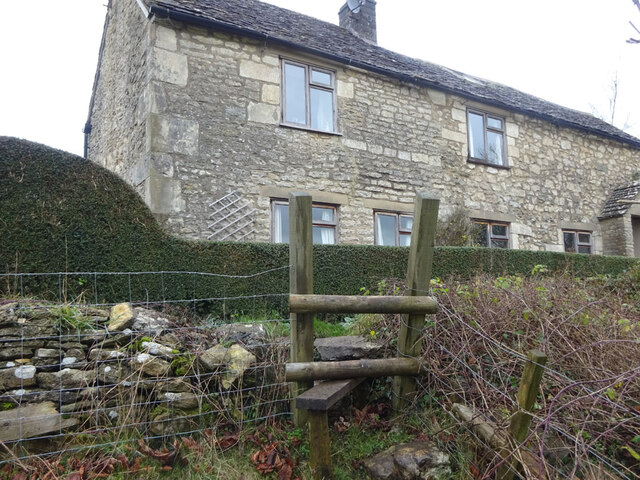
Walkleywood is a small village located in the county of Gloucestershire, England. Situated in the picturesque Forest of Dean, it is surrounded by lush greenery and tranquil woodlands, making it an ideal destination for nature enthusiasts and those seeking a peaceful retreat.
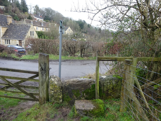
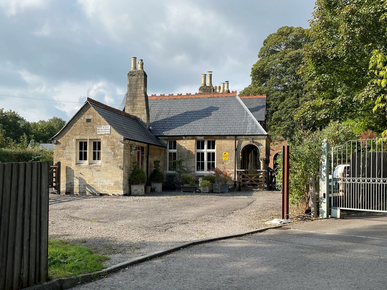
The village itself is characterized by its quaint charm and traditional architecture. Many of the houses are made from locally sourced stone, giving them a rustic and authentic feel. The community is tight-knit, with a population of around 200 residents, fostering a friendly and welcoming atmosphere.
Despite its small size, Walkleywood offers a range of amenities for its residents and visitors. The village has a local pub, where locals gather to enjoy a pint and engage in lively conversation. Additionally, there is a small convenience store that caters to the basic needs of the community.
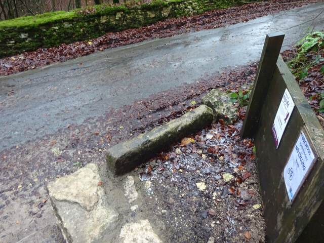
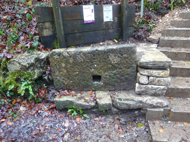
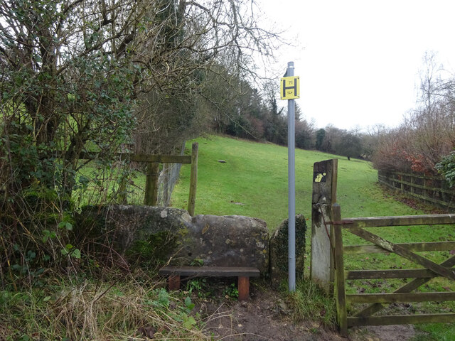
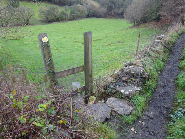
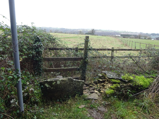
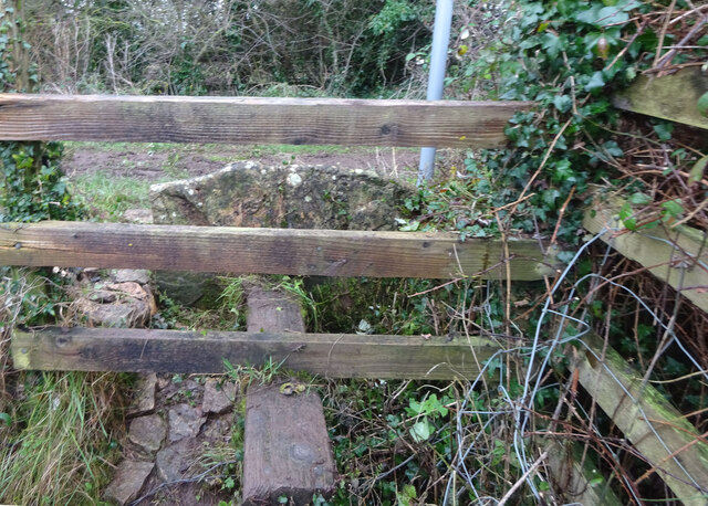
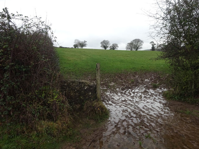
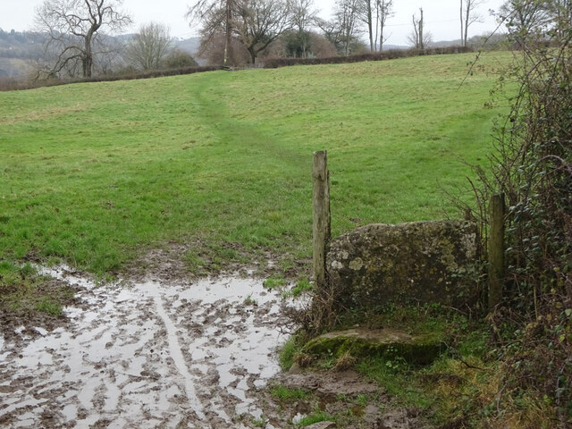
For outdoor enthusiasts, Walkleywood provides ample opportunities for exploration. The Forest of Dean offers numerous walking and cycling trails, allowing visitors to immerse themselves in the natural beauty of the area. The nearby River Wye also offers opportunities for canoeing and fishing.
Though secluded, Walkleywood is not far from larger towns and cities. Gloucester, the county town of Gloucestershire, is approximately 13 miles away, providing access to a wider range of amenities and services.
In summary, Walkleywood is a charming village nestled in the Forest of Dean, offering a peaceful escape for those seeking a break from the hustle and bustle of city life. With its natural beauty and friendly community, it is an idyllic destination for both residents and visitors alike.
If you have any feedback on the listing, please let us know in the comments section below.
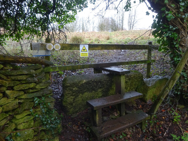
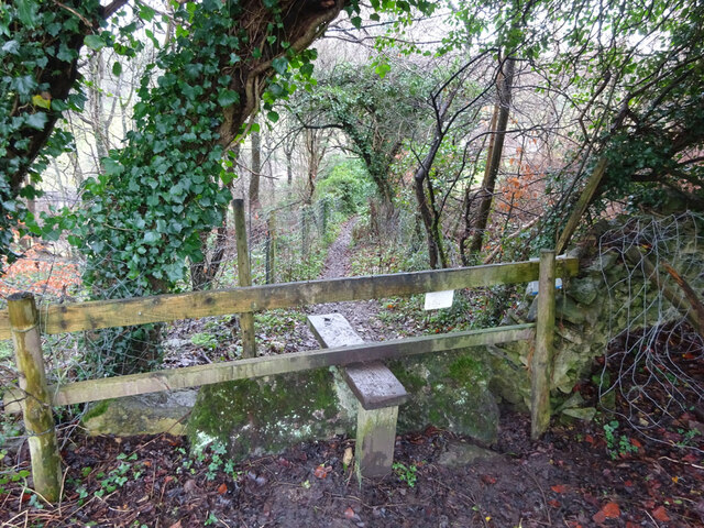
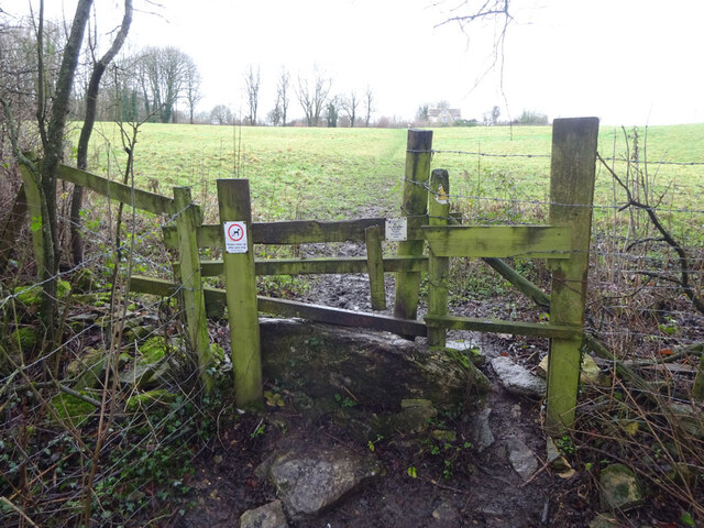
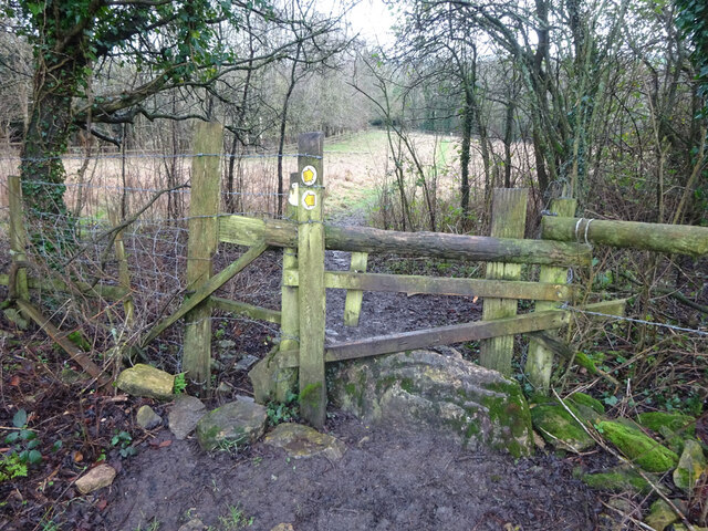
Walkleywood Images
Images are sourced within 2km of 51.69228/-2.2253646 or Grid Reference ST8499. Thanks to Geograph Open Source API. All images are credited.
Walkleywood is located at Grid Ref: ST8499 (Lat: 51.69228, Lng: -2.2253646)
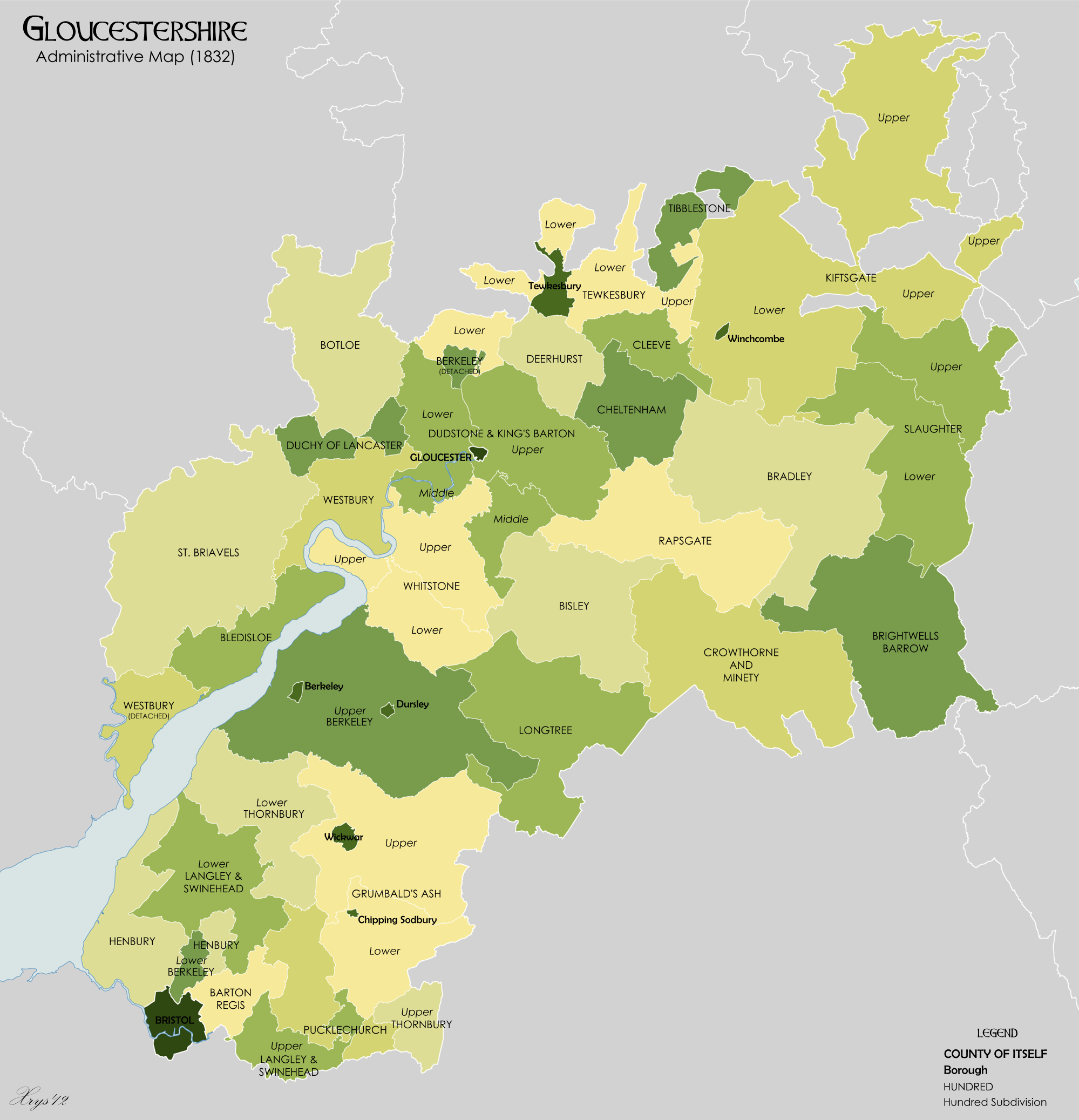
Administrative County: Gloucestershire
District: Stroud
Police Authority: Gloucestershire
What 3 Words
///raft.fiery.swipes. Near Nailsworth, Gloucestershire
Nearby Locations
Related Wikis

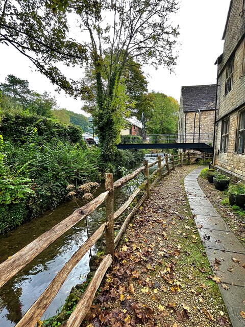
Nailsworth
Nailsworth is a town and civil parish in the Stroud District in Gloucestershire, England, lying in one of the Stroud Valleys in the Cotswolds, on the A46...

Nailsworth Town Hall
Nailsworth Town Hall is a municipal building in Old Bristol Road in Nailsworth, Gloucestershire, England. The structure currently operates as the meeting...

Newmarket, Gloucestershire
Newmarket is a hamlet in the parish of Horsley, Gloucestershire, England. == References ==

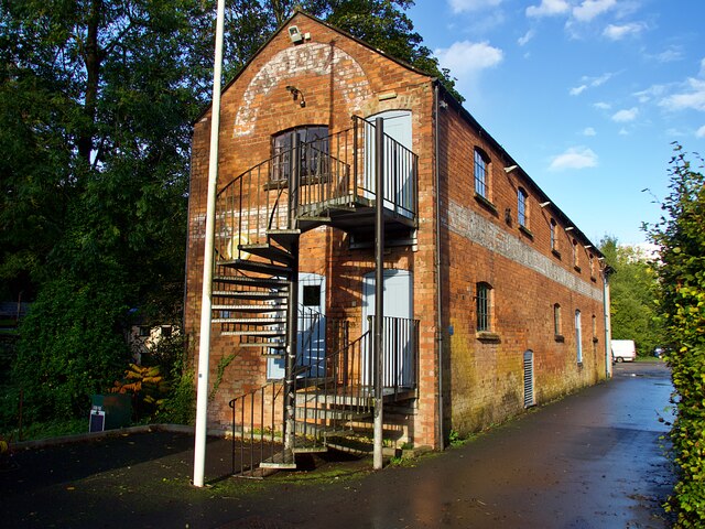
Egypt Mill
Egypt Mill is a Grade II* listed building and a former mill located in Nailsworth, a market town within the Stroud district of Gloucestershire, England...
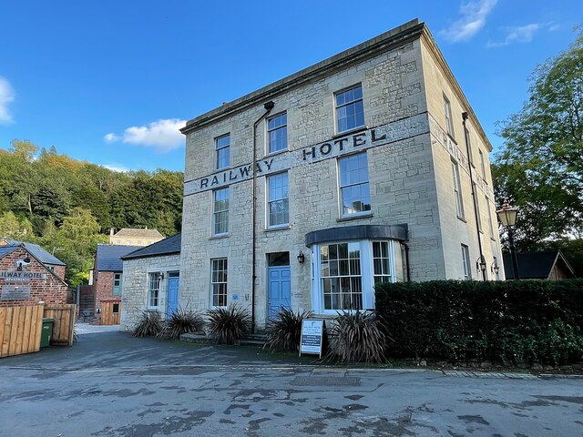
Nailsworth railway station
Nailsworth railway station served the town of Nailsworth in Gloucestershire, England and was the terminus of the 9.3 km-long Stonehouse and Nailsworth...
The Lawn Ground
The Lawn Ground was located in Nailsworth, Gloucestershire, England, and was, from 1890 to 2006, home to the English football club, Forest Green Rovers...
Whitstone Hundred
Whitstone was an ancient hundred of Gloucestershire, England. From the 13th century it comprised two adjacent divisions, which included the ancient parishes...
Shortwood United F.C.
Shortwood United Football Club is a football club based in Nailsworth, Gloucestershire, England. The club are currently members of the Hellenic League...
Nearby Amenities
Located within 500m of 51.69228,-2.2253646Have you been to Walkleywood?
Leave your review of Walkleywood below (or comments, questions and feedback).