Walker's Hill
Settlement in Lancashire
England
Walker's Hill

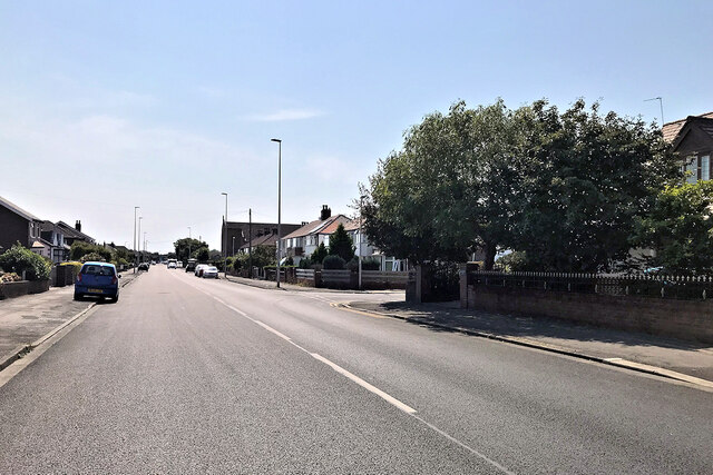
Walker's Hill is a small village located in the county of Lancashire, in the northwestern part of England. Situated in the picturesque Ribble Valley, this rural settlement is surrounded by rolling hills and lush green countryside, which makes it a popular destination for nature enthusiasts and hikers.
The village itself is home to a tight-knit community, with a population of around 500 residents. The houses in Walker's Hill are mainly traditional stone cottages, adding to the charm and character of the area. The village center features a quaint parish church, a local pub, and a few small shops catering to the basic needs of its inhabitants.
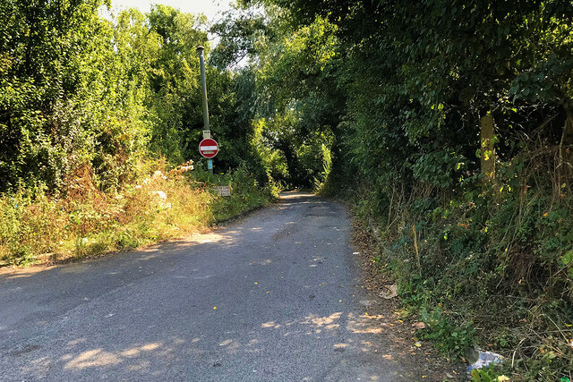
One of the main attractions in Walker's Hill is its stunning natural beauty. The nearby Beacon Hill offers breathtaking panoramic views of the surrounding countryside and is a popular spot for walkers and photographers. The village is also surrounded by several walking trails, allowing visitors to explore the area's scenic landscapes and enjoy the peaceful ambiance.
In terms of amenities, Walker's Hill has limited facilities, with no schools or medical centers within the immediate vicinity. However, the village is well-connected to nearby towns and cities, ensuring easy access to essential services and amenities.
Overall, Walker's Hill offers a tranquil and idyllic setting for those seeking a peaceful retreat amidst nature. With its stunning views, friendly community, and access to beautiful countryside, it is a hidden gem in Lancashire's rural landscape.
If you have any feedback on the listing, please let us know in the comments section below.
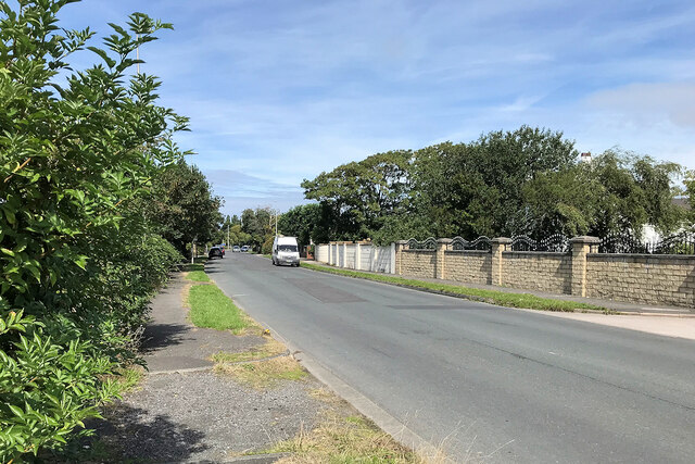
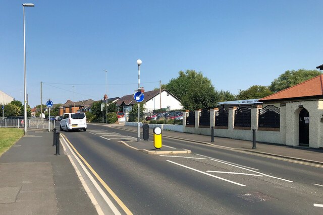
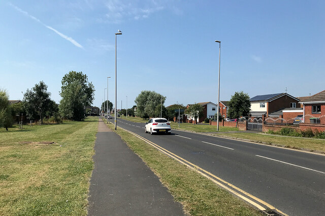
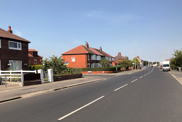
Walker's Hill Images
Images are sourced within 2km of 53.79069/-3.016678 or Grid Reference SD3333. Thanks to Geograph Open Source API. All images are credited.


Walker's Hill is located at Grid Ref: SD3333 (Lat: 53.79069, Lng: -3.016678)
Unitary Authority: Blackpool
Police Authority: Lancashire
What 3 Words
///give.jabs.yards. Near Great Marton, Lancashire
Nearby Locations
Related Wikis

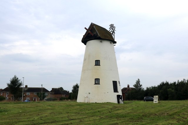
Marton, Blackpool
Marton is a historic village on the coastal plain of the Fylde in the Borough of Blackpool in Lancashire, England, most of which is now forms a part of...
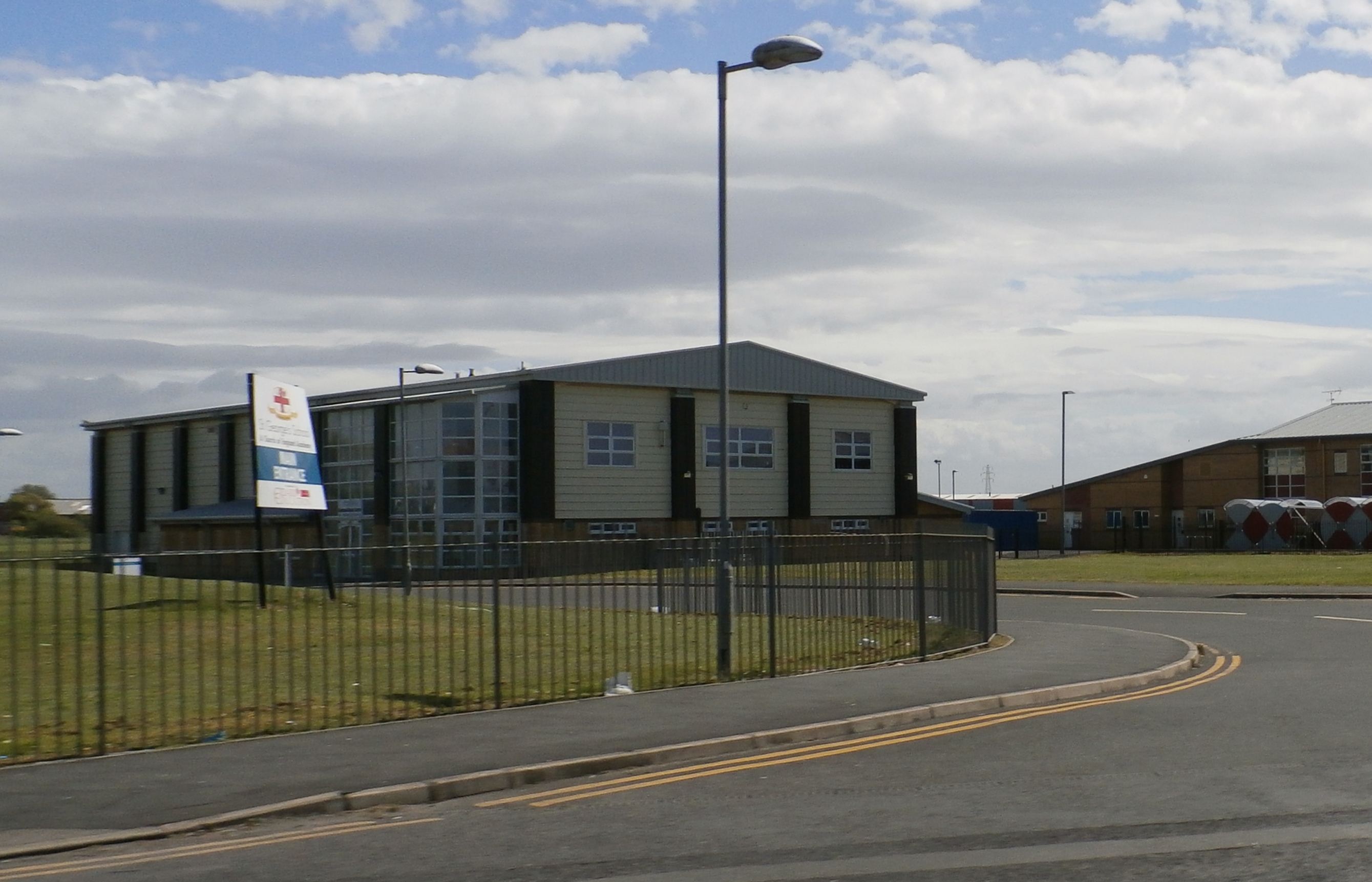
St George's School, Blackpool
St. George's School is a Church of England secondary school with academy status in Marton, Blackpool, Lancashire, England with an intake of both boys and...
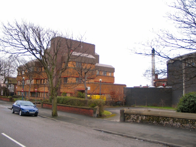
Highfield Leadership Academy
Highfield Leadership Academy is a co-educational secondary school located in Marton, Blackpool, Lancashire, England. == History == It was originally known...
Squires Gate
Squires Gate is a district and an electoral ward in South Shore, Blackpool on the Fylde coast, in the Blackpool district, in the ceremonial county of Lancashire...
Nearby Amenities
Located within 500m of 53.79069,-3.016678Have you been to Walker's Hill?
Leave your review of Walker's Hill below (or comments, questions and feedback).