Blackham

Settlement in Sussex Wealden

England

Blackham

Kentish Byway
Kentish Byway Credit: N Chadwick

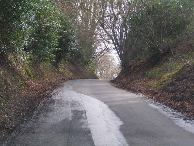
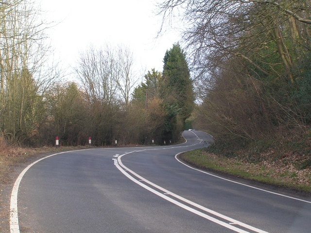
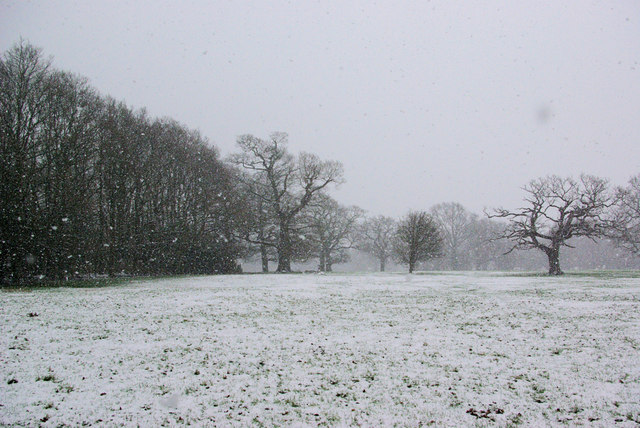
Blackham is a small, picturesque village located in the Wealden District of East Sussex, England. Nestled amidst the rolling hills and lush countryside, it offers a peaceful and idyllic setting for residents and visitors alike. Situated approximately 10 miles southwest of Tunbridge Wells, Blackham is surrounded by beautiful woodlands and farmlands, providing ample opportunities for leisurely walks and outdoor activities.

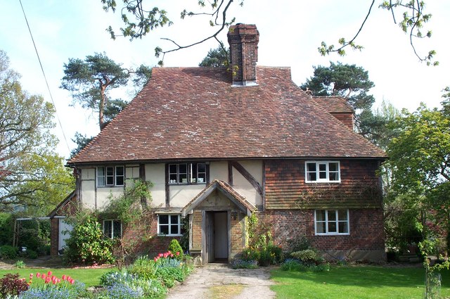
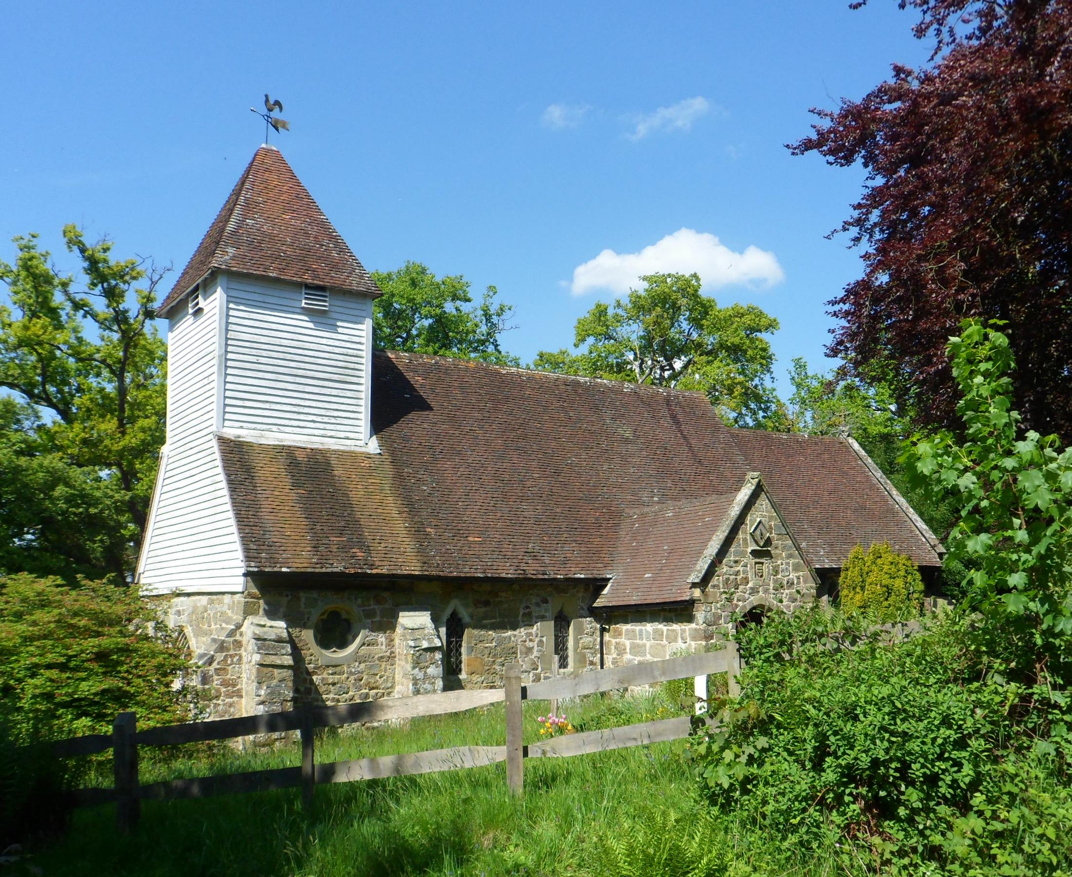
The village itself is characterized by its charming and quaint atmosphere, with a scattering of traditional cottages and buildings that showcase the area's rich history. The centerpiece of Blackham is its historic church, St. Mary's, which dates back to the 13th century. This architectural gem adds to the village's timeless appeal and serves as a reminder of its long-standing heritage.

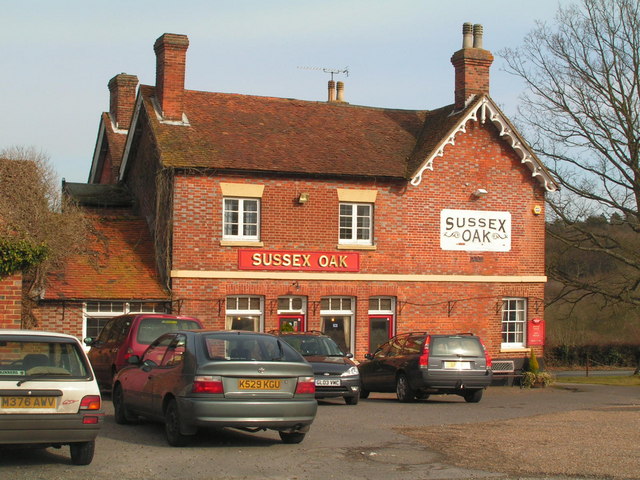
Despite its small size, Blackham is well-connected to nearby towns and villages, making it an attractive place to reside. The village benefits from excellent transport links, with a regular bus service connecting it to the surrounding areas. Additionally, the nearby town of Crowborough provides a range of amenities, including shops, supermarkets, and schools, just a short drive away.

For those seeking a peaceful retreat from the hustle and bustle of city life, Blackham offers a tranquil haven surrounded by natural beauty. Whether it's exploring the captivating woodland trails, enjoying a leisurely picnic in the countryside, or simply admiring the enchanting village scenery, Blackham provides a charming and serene escape for both residents and visitors to enjoy.

If you have any feedback on the listing, please let us know in the comments section below.
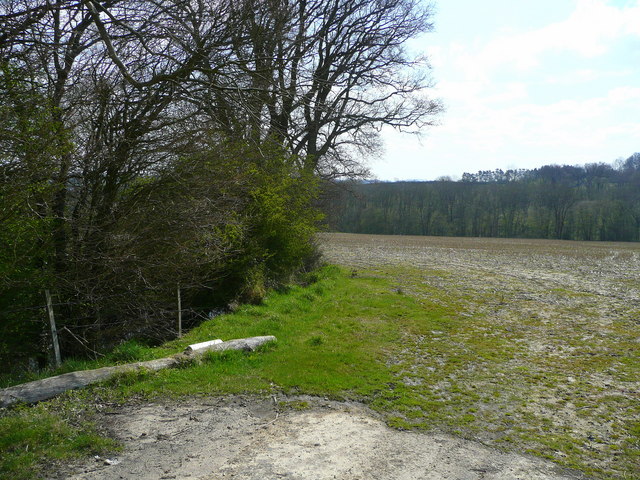
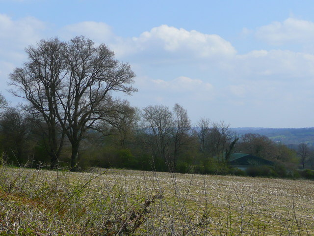
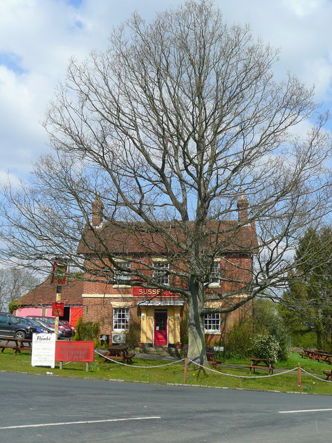
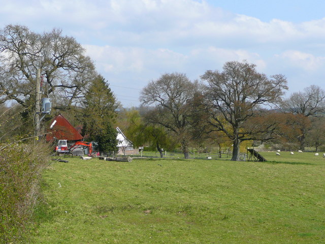
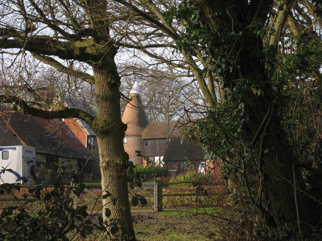
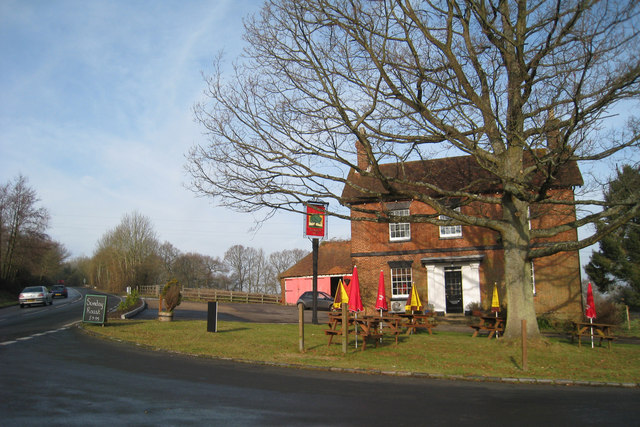
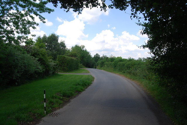
Blackham Images

Images are sourced within 2km of 51.141083/0.14076362 or Grid Reference TQ4940. Thanks to Geograph Open Source API. All images are credited.

Kentish Byway
Kentish Byway
Sussex Oak Public House A large roadside inn on the A264 Tunbridge Wells to East Grinstead Road.
Sadly now closed, see <a href="https://www.geograph.org.uk/photo/2944951">TQ4839 : Formerly The Sussex Oak</a>
Sussex Oak Public House
A large roadside inn on the A264 Tunbridge Wells to East Grinstead Road. Sadly now closed, see TQ4839 : Formerly The Sussex Oak
A264 Tunbridge Wells to East Grinstead road, not too busy!
A264
Tunbridge Wells to East Grinstead road, not too busy!
In the Snow The general direction of the footpath to Lodgefield Farm.
In the Snow
The general direction of the footpath to Lodgefield Farm.
Wealden field south of Blackham The soil lies damp here.
Wealden field south of Blackham
The soil lies damp here.
Unploughed field near Blackham A building at Stephnett's Farm can just be seen.
Unploughed field near Blackham
A building at Stephnett's Farm can just be seen.
The Sussex Oak Both pub and tree alongside the A264 between Ashurst and Holtye.
The welcome sight of Shepherd Neame's scarlet signage!
The Sussex Oak
Both pub and tree alongside the A264 between Ashurst and Holtye. The welcome sight of Shepherd Neame's scarlet signage!
Field by Blackham Lane View north from the junction with the A264 by the Sussex Oak.
Field by Blackham Lane
View north from the junction with the A264 by the Sussex Oak.
Oast House, Salehurst, Blackham, East Sussex Single round kiln oast house.
Oast House, Salehurst, Blackham, East Sussex
Single round kiln oast house.
Sussex Oak Public House, Blackham, East Sussex Former Shepherd Neame pub, now free house.
Sussex Oak Public House, Blackham, East Sussex
Former Shepherd Neame pub, now free house.
Lane north of Teasley Mead, Blackham
Field near Blackham
Field near Blackham
Lane to Blackham
Lane to Blackham
Summerfields Barn, Blackham
The Sussex Oak on the A264 Just in front of the pub is a right turn to Blackham. Also in front is what appears to be an example of an oak, but a true Sussex one should look rather more like the one at right.
The Sussex Oak on the A264
Just in front of the pub is a right turn to Blackham. Also in front is what appears to be an example of an oak, but a true Sussex one should look rather more like the one at right.
Beech Green Lane Any beeches aren't green yet!
Beech Green Lane
Any beeches aren't green yet!
Bridge on lane from Blackham to Ashurst Whether this lane has a name could not be determined.
Bridge on lane from Blackham to Ashurst
Whether this lane has a name could not be determined.
The Sussex Oak Public House A former Shepherd Neame pub on the B2026.
The Sussex Oak Public House
A former Shepherd Neame pub on the B2026.
Show me another place!

Blackham is located at Grid Ref: TQ4940 (Lat: 51.141083, Lng: 0.14076362)

Administrative County: East Sussex

District: Wealden

Police Authority: Sussex

What 3 Words

///stems.yard.guests. Near Groombridge, East Sussex

Nearby Locations

Blackham

Related Wikis

Blackham

Blackham is a village in the Wealden district of East Sussex. It lies within the Withyham civil parish. Its nearest town is Royal Tunbridge Wells, which...

Ashurst railway station

Ashurst railway station is on the Uckfield branch of the Oxted line in southern England and serves Ashurst in Kent (very close to the East Sussex border...

Cowden Meadow

Cowden Meadow is a 1.1-hectare (2.7-acre) biological Site of Special Scientific Interest east of Cowden in Kent.This site has flora which are found on...

Cowden rail crash

The Cowden rail crash occurred on 15 October 1994, near Cowden Station in Kent (UK), when two trains collided head-on, killing five and injuring thirteen...

Chiddingstone Hoath

Chiddingstone Hoath is a hamlet in the Sevenoaks District of Kent, England. Notable buildings include Hoath House, and Stonewall Park, for some time home...

Ashurst, Kent

Ashurst is a village and former civil parish, now in the parish of Speldhurst, in the Tunbridge Wells district, in the county of Kent, England. It is 5...

Stone Cross, Tunbridge Wells

The placename Stone Cross occurs in several parts of England, including two other smaller places in Kent: one near Sandwich, and one southeast of Ashford...

Cowden railway station

Cowden railway station is on the Uckfield branch of the Oxted line in southern England and serves Cowden in Kent. It is 29 miles 26 chains (29.33 miles...

Nearby Amenities

Located within 500m of 51.141083,0.14076362
Source: Landsat photo
Lat/Long: 51.1388459/0.1468054
Railway: switch
Source: Landsat photo
Lat/Long: 51.1404313/0.1451846
Source: Landsat photo
Lat/Long: 51.1422771/0.1423758
Source: Landsat photo
Lat/Long: 51.1433414/0.1401648
Source: Landsat photo
Lat/Long: 51.1445228/0.1369297
Power: tower
Lat/Long: 51.1400976/0.1449678
Power: tower
Lat/Long: 51.1379997/0.1380841
Power: tower
Lat/Long: 51.1409692/0.147857
Power: tower
Lat/Long: 51.1389965/0.1413383
Barrier: stile
Lat/Long: 51.1443379/0.1377509
Barrier: stile
Lat/Long: 51.1442057/0.1376228
Railway: crossing
Lat/Long: 51.1442887/0.1376834
Barrier: stile
Lat/Long: 51.1440139/0.1448119
Source: Landsat photo
Lat/Long: 51.1388659/0.1468613
Post Box
Operator: Royal Mail
Post Box Type: lamp
Ref: TN3 177
Royal Cypher: EIIR
Royal Cypher Wikidata: Q33102113
Lat/Long: 51.1410009/0.1407846
Villa Farm
Place: farm
Source Name: OS_OpenData_Streetview
Lat/Long: 51.1413024/0.1450706
Bench
Backrest: yes
Seats: 2
Lat/Long: 51.1413319/0.140592
Bench
Backrest: yes
Seats: 2
Lat/Long: 51.1413071/0.1407154
Power: pole
Lat/Long: 51.139913/0.1452566
Power: pole
Lat/Long: 51.1400695/0.1457804
Power: pole
Lat/Long: 51.1398149/0.1470357
Power: pole
Lat/Long: 51.1389779/0.1452101
Power: pole
Lat/Long: 51.1379968/0.1451618
The data included in this document is from www.openstreetmap.org. The data is made available under ODbL.

Have you been to Blackham?

Leave your review of Blackham below (or comments, questions and feedback).