Blackhall Rocks

Settlement in Durham

England

Blackhall Rocks

Crimdon Terrace
Crimdon Terrace Credit: David Robinson

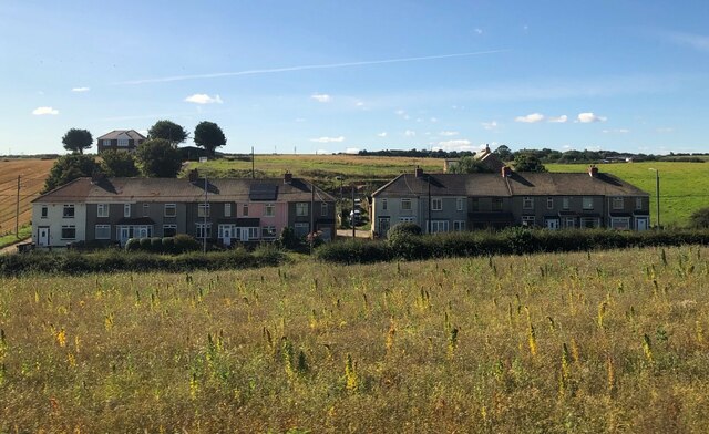
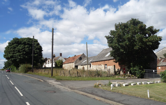
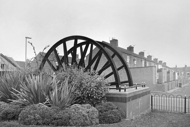
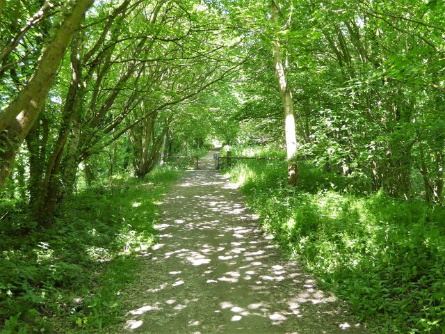
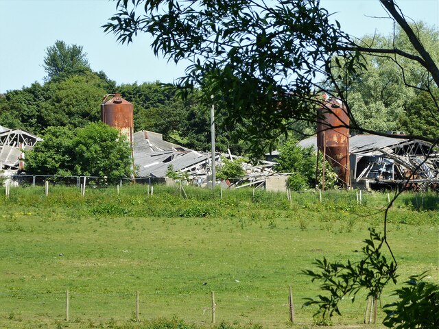
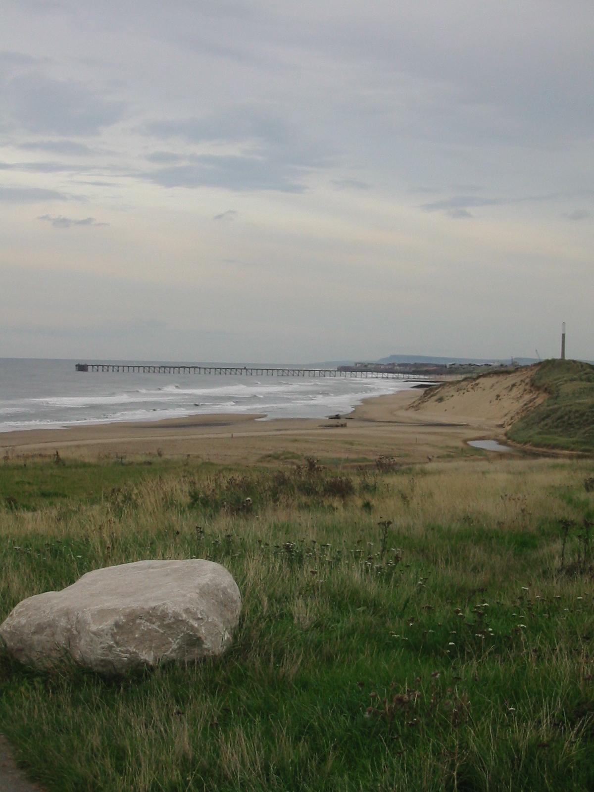
Blackhall Rocks is a coastal village located in the county of Durham, in the northeast of England. Situated on the North Sea coast, it lies between the towns of Hartlepool and Sunderland. The village is part of the wider Blackhall Colliery area and is known for its picturesque surroundings and stunning coastal cliffs.

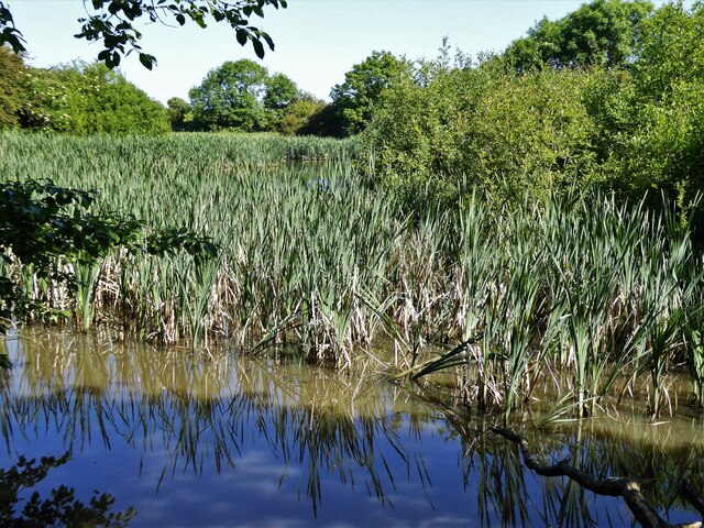
The main attraction of Blackhall Rocks is its scenic beach, which stretches along the coast for approximately two miles. The beach is characterized by its golden sands and rugged cliffs, providing visitors with a beautiful natural setting for walks and relaxation. It is also a popular spot for fishing enthusiasts, who can cast their lines from the beach or nearby rock formations.

Aside from its natural beauty, Blackhall Rocks is also home to the Blackhall Rocks Sports Club, which offers a range of sporting facilities including football, cricket, and bowls. The club serves as a hub for the local community and hosts various events throughout the year.

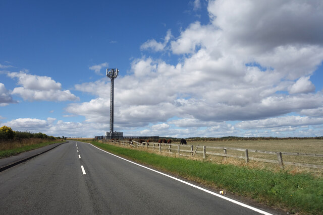
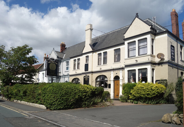
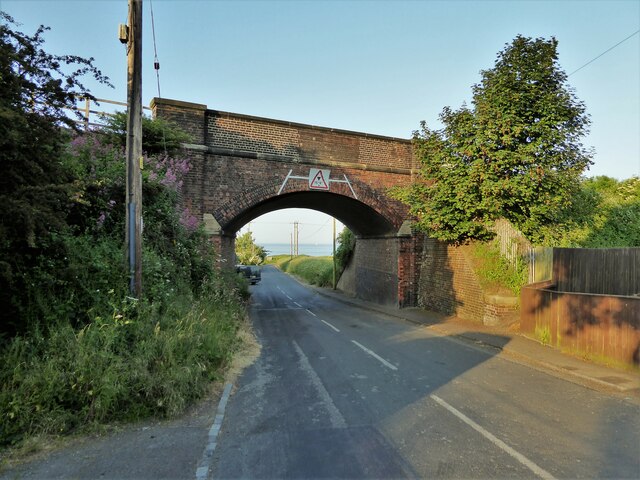
The village itself has a small but friendly population, with a few local shops, pubs, and amenities to cater to residents and visitors. Blackhall Rocks is well-connected by road, with easy access to nearby towns and cities via the A19 and A1086 roads.

Overall, Blackhall Rocks provides a peaceful coastal retreat for those looking to enjoy the tranquility of the North Sea, stunning cliff views, and a range of outdoor activities in a charming village setting.

If you have any feedback on the listing, please let us know in the comments section below.

Blackhall Rocks Images

Images are sourced within 2km of 54.741974/-1.283577 or Grid Reference NZ4638. Thanks to Geograph Open Source API. All images are credited.

Crimdon Terrace
Crimdon Terrace
Mickle Hill Road The urban developments along the Coast Road are soon left behind as the road heads out into the country.
Mickle Hill Road
The urban developments along the Coast Road are soon left behind as the road heads out into the country.
The Ship Inn, High Heselden Village pub along Mickle Hill Road.
The Ship Inn, High Heselden
Village pub along Mickle Hill Road.
Mickle Hill Road, High Heselden With some old buildings belonging to High Heselden Farm.
Mickle Hill Road, High Heselden
With some old buildings belonging to High Heselden Farm.
On the beach in the mist Starting as a dark line on the horizon, within minutes a sea mist came billowing in turning a bright sunny morning into hazy gloom.
On the beach in the mist
Starting as a dark line on the horizon, within minutes a sea mist came billowing in turning a bright sunny morning into hazy gloom.
Mine Wheel Memorial, Blackhall Colliery One of several similar monuments in this area commemorating the former mining industry.
A sea mist has blown in making colour photography rather unrewarding, but this looks ok in B&W.
Mine Wheel Memorial, Blackhall Colliery
One of several similar monuments in this area commemorating the former mining industry. A sea mist has blown in making colour photography rather unrewarding, but this looks ok in B&W.
Eighth Street, Blackhall Colliery Making it easy for the postman, a group of adjacent streets are named from First to Eleventh. I think that's right. I can't see any more on the map.
Eighth Street, Blackhall Colliery
Making it easy for the postman, a group of adjacent streets are named from First to Eleventh. I think that's right. I can't see any more on the map.
Middle Street, Blackhall Colliery A town with very logical street naming. This is Middle Street, the main road, with East and West Streets running parallel. In between are First to Eleventh Streets. Easy.
Further along, it's poets.
Middle Street, Blackhall Colliery
A town with very logical street naming. This is Middle Street, the main road, with East and West Streets running parallel. In between are First to Eleventh Streets. Easy. Further along, it's poets.
Railway Bridge Over Station Road
Railway Bridge
Over Station Road
Sea Caves In an unnamed headland viewed from near the coastal path
Sea Caves
In an unnamed headland viewed from near the coastal path
Path to the beach View from the Coastal Path north of Blackhall Rocks
Path to the beach
View from the Coastal Path north of Blackhall Rocks
Rocks off the beach View from a path off the viewing platform on the Coastal Path
Rocks off the beach
View from a path off the viewing platform on the Coastal Path
Hardwicke Hall Manor Hotel car park Shared with Manor Motors and hopefully the car stock does not get mixed up.
Hardwicke Hall Manor Hotel car park
Shared with Manor Motors and hopefully the car stock does not get mixed up.
Cycle path following route of former railway The Hart to Haswell route crossing the road to Monk Heselden. The road previously crossed the railway on a bridge, so there have been earthworks to make now the crossing of the routes on the level.
Cycle path following route of former railway
The Hart to Haswell route crossing the road to Monk Heselden. The road previously crossed the railway on a bridge, so there have been earthworks to make now the crossing of the routes on the level.
Former reservoir By the side of the Hart to Haswell Walkway
Former reservoir
By the side of the Hart to Haswell Walkway
Cycle path following route of former railway Approaching the municipal boundary between Hartlepool & Easington districts at the embankment across Crimdon Beck on the Hart to Haswell route
Cycle path following route of former railway
Approaching the municipal boundary between Hartlepool & Easington districts at the embankment across Crimdon Beck on the Hart to Haswell route
Collapse of the poultry industry? Former poultry sheds viewed from the Hart to Haswell Walkway
Collapse of the poultry industry?
Former poultry sheds viewed from the Hart to Haswell Walkway
Drive to Hardwicke Hall Manor Hotel Passing the entrance to Wood Cottage, screened by trees
Drive to Hardwicke Hall Manor Hotel
Passing the entrance to Wood Cottage, screened by trees
Show me another place!

Blackhall Rocks is located at Grid Ref: NZ4638 (Lat: 54.741974, Lng: -1.283577)

Unitary Authority: County Durham

Police Authority: Durham

What 3 Words

///guitar.comical.anchovies. Near Peterlee, Co. Durham

Related Wikis

Blackhall Rocks

Blackhall Rocks is a village on the North Sea coast of County Durham, North East England. It is situated on the A1086 between Horden and Hartlepool, and...

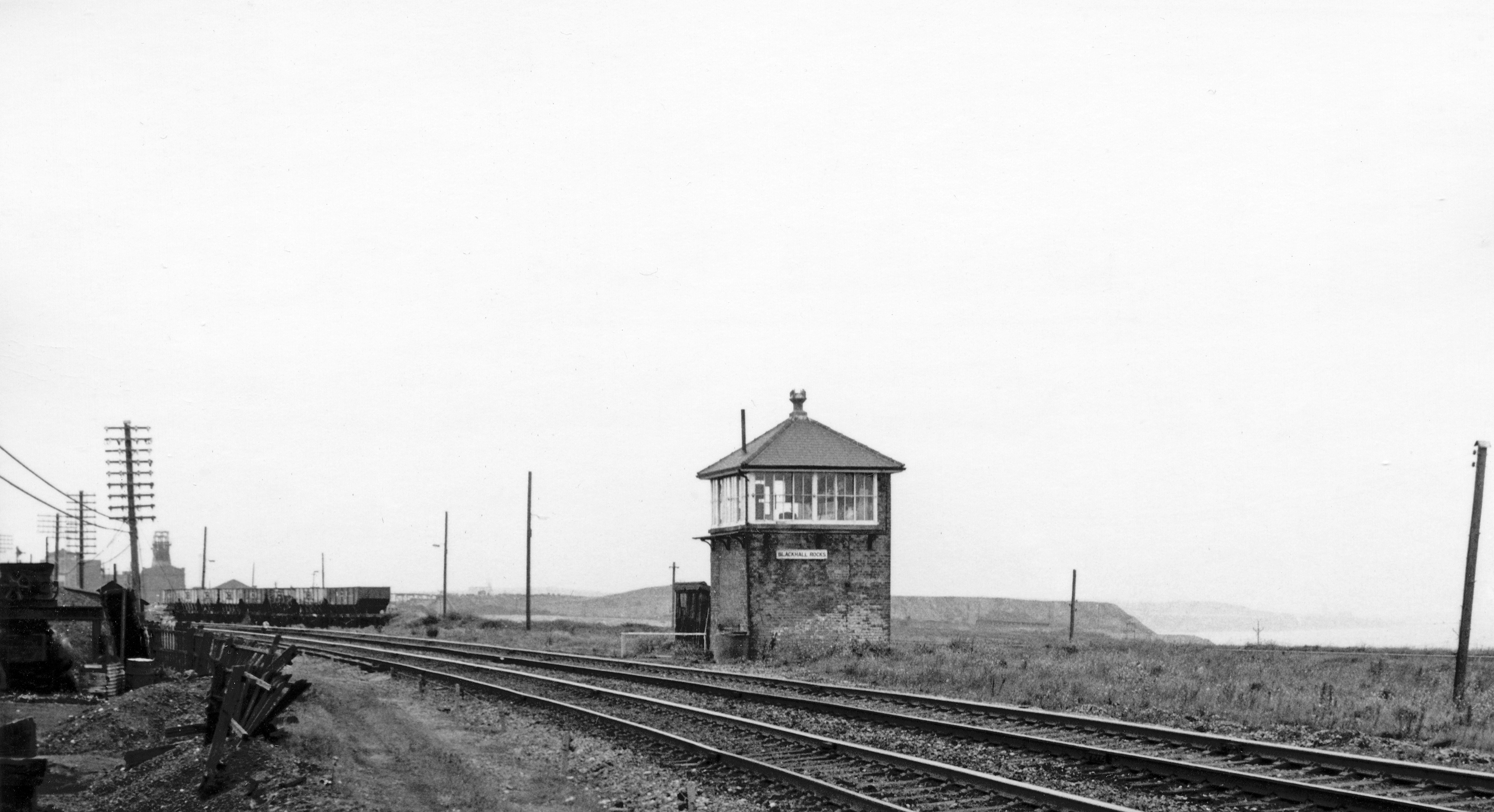
Blackhall Rocks railway station

Blackhall Rocks was one of two railway stations to have served the Blackhalls in County Durham, North East England, and was a stop on the Durham Coast...

Blackhall Colliery

Blackhall Colliery is a village on the North Sea coast of County Durham, in England. It is situated on the A1086 between Horden and Hartlepool. To the...

High Hesleden

High Hesleden is a village in Monk Hesleden parish, County Durham, in England. It is situated a few miles north of Hartlepool, between Blackhall Rocks...

Blackhall Colliery railway station

Blackhall Colliery railway station served the village of Blackhall Colliery in County Durham, North East England. It was located on the Durham Coast Line...

Monk Hesleden

Monk Hesleden is a village and civil parish in County Durham, England. The population of the parish at the 2011 Census was 5,722. The parish is situated...

Hesleden

Hesleden ( HEZ-əl-dən) is a village in County Durham, England, south of Peterlee. The name is a combination of Dene and Hesle, which is from "hazel". The...

Crimdon

Crimdon is a coastal village in County Durham, England. It is situated on the North Sea coast, between Blackhall Rocks and Hartlepool on the A1086 road...

Nearby Amenities

Located within 500m of 54.741974,-1.283577
Blackhall Rocks
Place: village
Wikidata: Q4922936
Wikipedia: en:Blackhall Rocks
Lat/Long: 54.7407451/-1.2765709
Bus Stop
Leaholme Terrace
Bus: yes
Mapillary: 817216290058649
Naptan AtcoCode: 13003339D
Naptan Bearing: SE
Naptan CommonName: Leaholme Terrace
Naptan Indicator: south east bound
Naptan Landmark: opposite centre line of unknown road
Naptan NaptanCode: duraptmw
Naptan Street: A1086 Coast Road
Naptan Verified: no
Public Transport: platform
Shelter: yes
Source: naptan_import
Lat/Long: 54.7434459/-1.2813142
Bus Stop
Leaholme Terrace
Bus: yes
Mapillary: 973263760611913
Naptan AtcoCode: 13003339H
Naptan Bearing: NW
Naptan CommonName: Leaholme Terrace
Naptan Indicator: north west bound
Naptan Landmark: On boundary of 1-2 Glenholme Ter
Naptan NaptanCode: duraptpa
Naptan Street: A1086 Coast Road
Naptan Verified: no
Public Transport: platform
Shelter: yes
Source: naptan_import
Lat/Long: 54.744195/-1.2830844
Bus Stop
Post Office
Bus: yes
Naptan AtcoCode: 13003340G
Naptan Bearing: W
Naptan CommonName: Post Office
Naptan Indicator: west bound
Naptan Landmark: 13m E of E edge of Ocean View
Naptan NaptanCode: duraptpg
Naptan Street: Mickle Hill Road
Naptan Verified: no
Public Transport: platform
Source: naptan_import
Lat/Long: 54.7410791/-1.2774698
Bus Stop
Post Office
Bus: yes
Mapillary: 1000246877764517
Naptan AtcoCode: 13003340H
Naptan Bearing: NW
Naptan CommonName: Post Office
Naptan Indicator: north west bound
Naptan Landmark: Outside S edge of Ocean View
Naptan NaptanCode: duraptpj
Naptan Street: A1086 Coast Road
Naptan Verified: no
Public Transport: platform
Shelter: yes
Source: naptan_import
Lat/Long: 54.7415117/-1.2776795
Bus Stop
Ocean View
Bus: yes
Naptan AtcoCode: 13003900C
Naptan Bearing: E
Naptan CommonName: Ocean View
Naptan Indicator: east bound
Naptan Landmark: On boundary of 2-3 Ocean View
Naptan NaptanCode: duratwjw
Naptan Street: Mickle Hill Road
Naptan Verified: no
Public Transport: platform
Source: naptan_import
Lat/Long: 54.7407702/-1.2799295
Bus Stop
Ocean View
Bus: yes
Naptan AtcoCode: 13003900G
Naptan Bearing: W
Naptan CommonName: Ocean View
Naptan Indicator: west bound
Naptan Landmark: 32m W of W edge of Marine Cres
Naptan NaptanCode: duratwma
Naptan Street: Mickle Hill Road
Naptan Verified: no
Public Transport: platform
Source: naptan_import
Lat/Long: 54.7405769/-1.280663
Crossing
Crossing: unmarked
Crossing Island: yes
Crossing Markings: no
Lat/Long: 54.745749/-1.2861394
Traffic Calming: hump
Lat/Long: 54.7413456/-1.2760073
Traffic Calming: bump
Lat/Long: 54.7411916/-1.2772599
Post Box
Operator: Royal Mail
Post Box Type: lamp
Royal Cypher: EIIR
Royal Cypher Wikidata: Q33102113
Source: drive-by survey
Lat/Long: 54.7442642/-1.2831821
Post Box
Operator: Royal Mail
Post Box Type: pillar
Source: drive-by survey
Lat/Long: 54.7413496/-1.2767118
Traffic Calming: hump
Lat/Long: 54.7391134/-1.2779103
Barrier: yes
Fixme: Barrier needs to be more specific
Lat/Long: 54.7436649/-1.2836427
North Blackhall Farm
Place: farm
Source Name: OS OpenData StreetView
Lat/Long: 54.7432224/-1.2784481
Traffic Calming: bump
Lat/Long: 54.7445741/-1.2843503
Traffic Calming: bump
Lat/Long: 54.7443589/-1.283956
Barrier: motorcycle_barrier
Lat/Long: 54.7459187/-1.2859502
Traffic Calming: hump
Lat/Long: 54.7385752/-1.2790633
Traffic Calming: hump
Lat/Long: 54.7388651/-1.2790622
Traffic Calming: hump
Lat/Long: 54.7391364/-1.2794646
Traffic Calming: hump
Lat/Long: 54.7397321/-1.2798763
Traffic Calming: hump
Lat/Long: 54.7402218/-1.2802103
Traffic Calming: bump
Lat/Long: 54.7409934/-1.2782559
Traffic Calming: bump
Lat/Long: 54.7408243/-1.2793916
Man Made: mast
Tower Construction: freestanding
Tower Type: communication
Lat/Long: 54.7404246/-1.2842189
Crossing
Crossing: traffic_signals
Kerb: lowered
Tactile Paving: yes
Lat/Long: 54.7410905/-1.2764977
Crossing
Crossing: unmarked
Crossing Island: yes
Lat/Long: 54.7414251/-1.277214
Bench
Lat/Long: 54.7413095/-1.2772398
Bench
Lat/Long: 54.7413296/-1.2772478
Crossing
Crossing: unmarked
Crossing Island: yes
Tactile Paving: yes
Lat/Long: 54.744668/-1.2838096
Crossing
Crossing: unmarked
Crossing Island: yes
Tactile Paving: yes
Lat/Long: 54.7453523/-1.2851155
Bus Stop
Bin: yes
Fixme: Needs NAPTAN details
Mapillary: 1366934580900598
Shelter: yes
Lat/Long: 54.7455433/-1.2852703
Bench
Backrest: yes
Lat/Long: 54.7461229/-1.2862865
The data included in this document is from www.openstreetmap.org. The data is made available under ODbL.

Have you been to Blackhall Rocks?

Leave your review of Blackhall Rocks below (or comments, questions and feedback).