Blackhall Mill
Settlement in Durham
England
Blackhall Mill
Blackhall Mill is a small village located in County Durham, in the northeast of England. Situated along the banks of the River Derwent, Blackhall Mill is nestled within the picturesque Derwent Valley. The village is part of the Consett area, approximately 10 miles southwest of Newcastle upon Tyne.
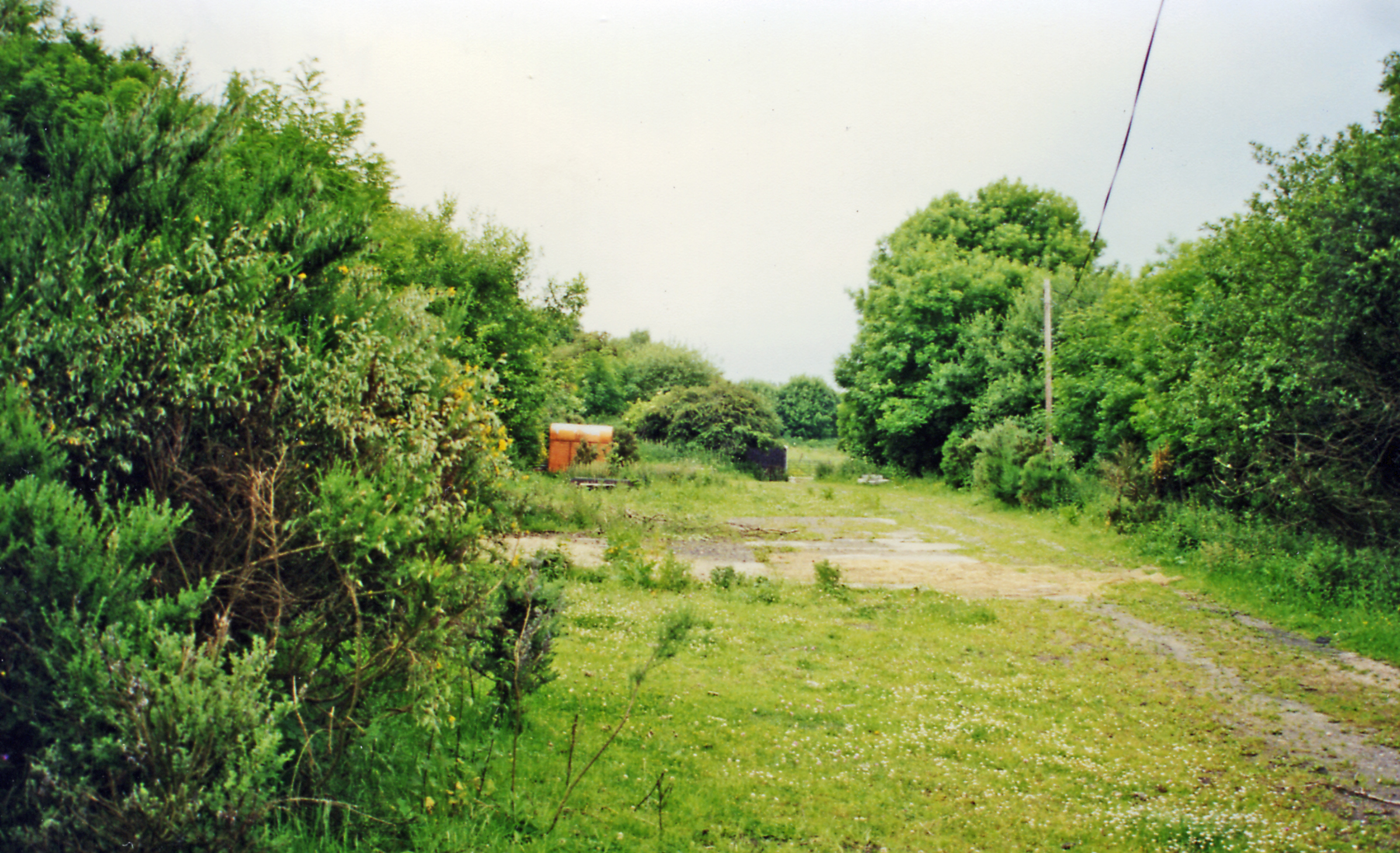
Historically, Blackhall Mill was known for its coal mining industry, with several collieries operating in the area during the 19th and 20th centuries. Today, remnants of this mining heritage can still be seen, although the village has transitioned into a residential community.
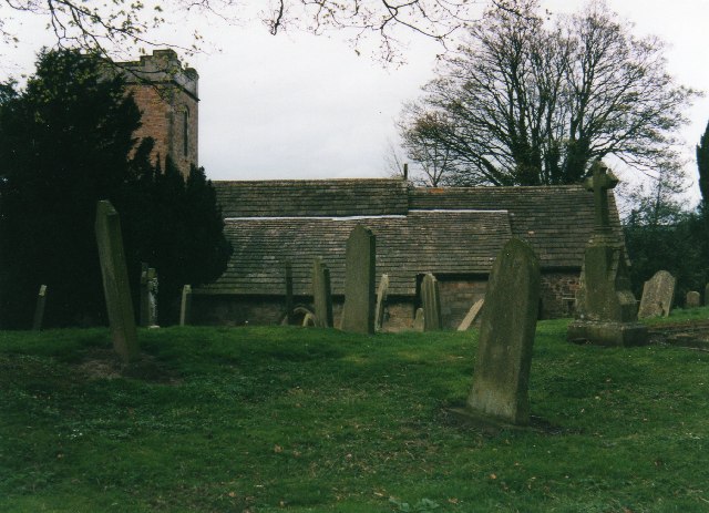
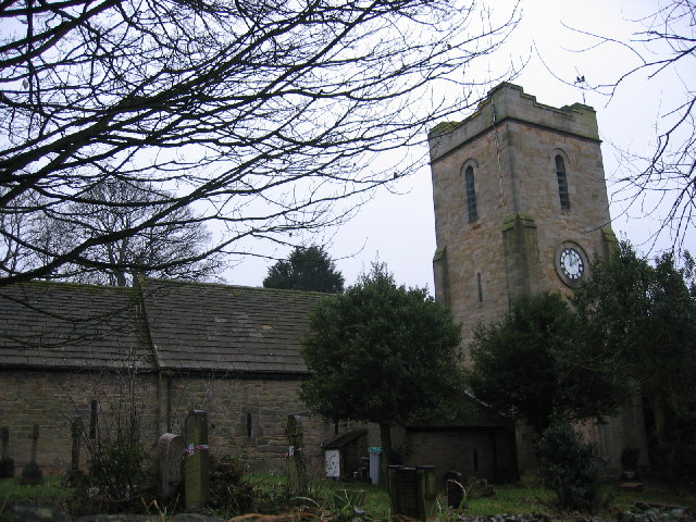
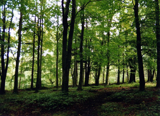
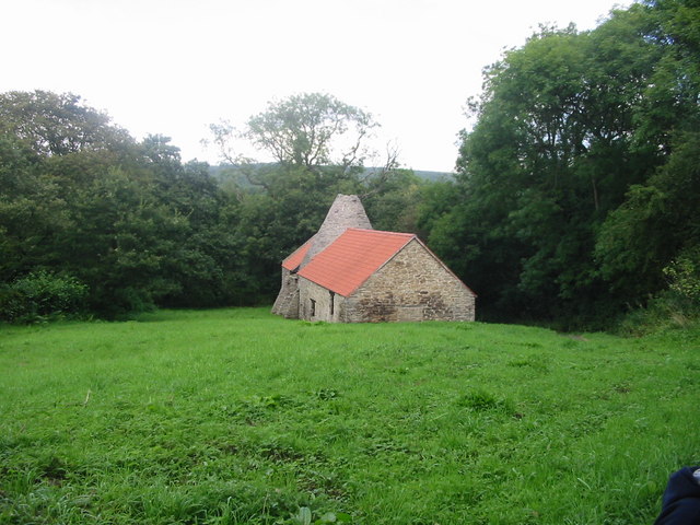
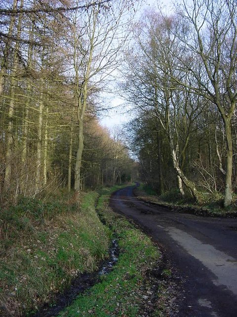
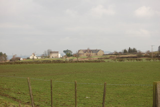
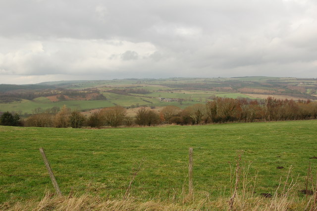
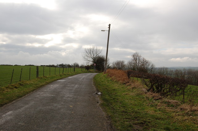
The village offers a peaceful and scenic environment, with its charming stone-built houses and scenic countryside surroundings. The River Derwent flows through the village, providing opportunities for fishing and leisurely walks along its banks. The nearby Derwent Walk Country Park offers further outdoor pursuits, with its expansive woodlands and trails.
Blackhall Mill is well-connected to surrounding areas, with regular bus services to nearby towns and cities. The village also benefits from easy access to major road networks, including the A692 and A68, enabling convenient travel throughout the region.
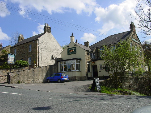
Although Blackhall Mill is primarily a residential area, there are a few amenities available to residents and visitors, including a local pub, a village hall, and a primary school. For a wider range of services and amenities, the nearby town of Consett offers a more comprehensive selection of shops, supermarkets, and leisure facilities.
Overall, Blackhall Mill is a tranquil and picturesque village, offering a peaceful retreat within easy reach of urban amenities.
If you have any feedback on the listing, please let us know in the comments section below.
Blackhall Mill Images
Images are sourced within 2km of 54.906701/-1.817488 or Grid Reference NZ1156. Thanks to Geograph Open Source API. All images are credited.


Blackhall Mill is located at Grid Ref: NZ1156 (Lat: 54.906701, Lng: -1.817488)
Unitary Authority: Gateshead
Police Authority: Northumbria
What 3 Words
///fondest.surveyors.system. Near Chopwell, Tyne & Wear
Nearby Locations
Related Wikis

Hamsterley, Consett
Hamsterley is a village in County Durham, England. It is situated to the north of Consett and borders the hamlet of Low Westwood. == Colliery == It was...
Low Westwood
Low Westwood is a village in County Durham, England. It is situated immediately to the west of Hamsterley. Low Westwood is probably best known for Hamsterley...
High Westwood railway station
High Westwood railway station served the village of High Westwood, County Durham, England from 1909 to 1942 on the Derwent Valley Railway. == History... ==
High Westwood
High Westwood is an English village in County Durham, a few miles to the north of Consett, near Ebchester and Hamsterley. It once had a colliery and coke...

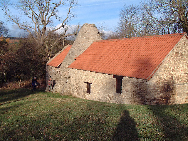
Derwentcote Steel Furnace
Derwentcote Steel Furnace (grid reference NZ131566), Rowlands Gill, near Newcastle upon Tyne, England, built in 1720, is an example of an early cementation...

Chopwell
Chopwell is a village in the Gateshead district, in the county of Tyne and Wear, England, 3 miles (4.8 km) west of Rowlands Gill and 1 mile (1.6 km) north...
Chopwell Colliery
Chopwell Colliery was a coal mine situated at Chopwell, in Gateshead, Tyne and Wear. The pit was first sunk in 1781, and was closed on 25 November 1966...

Vindomora
Vindomora was an auxiliary fort on Dere Street, in the province of Lower Britain (Britannia Inferior). Its ruins, now known as Ebchester Roman Fort, are...
Nearby Amenities
Located within 500m of 54.906701,-1.817488Have you been to Blackhall Mill?
Leave your review of Blackhall Mill below (or comments, questions and feedback).