Blackheath

Settlement in Staffordshire / Worcestershire

England

Blackheath

Sandwell Border The view from Nimmings Road in Halesowen Dudley towards Rowley Regis.
Sandwell Border Credit: Gordon Griffiths

Blackheath is a small village located on the border of Staffordshire and Worcestershire counties in England. Situated approximately 10 miles south of Wolverhampton, it lies within the West Midlands region. The village is nestled in a picturesque countryside setting, with rolling hills and lush green fields surrounding it.

Blackheath is renowned for its historical significance, with evidence of human settlement dating back to the Roman period. The area has seen various developments over the centuries, including the construction of the St. Paul's Church in the 19th century, which still stands as a prominent landmark.

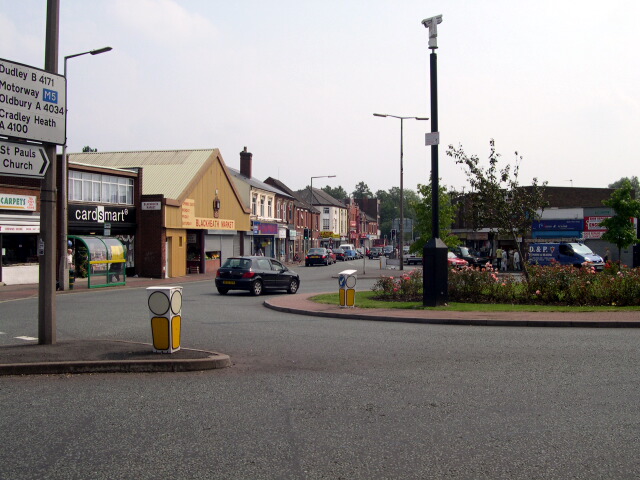
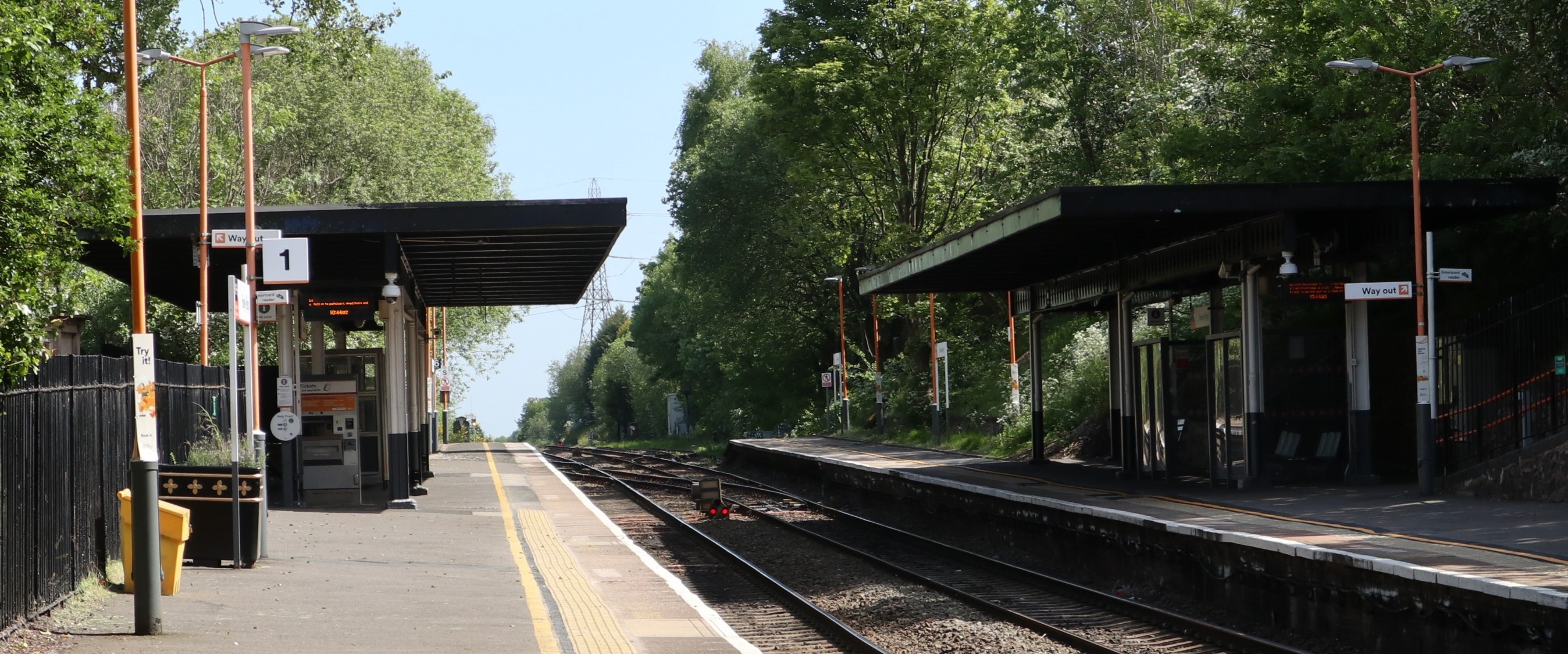
Despite its small size, the village offers a range of amenities and services to its residents. These include a primary school, a local pub, a post office, and a few small shops catering to everyday needs. Blackheath also benefits from good transportation links, with regular bus services connecting it to nearby towns and cities.

Nature enthusiasts will appreciate the village's proximity to several beautiful countryside spots, such as Kinver Edge and Clent Hills. These areas provide ample opportunities for outdoor activities like hiking, walking, and wildlife spotting.

Overall, Blackheath presents a charming blend of rural tranquility and convenience. With its rich history, stunning natural surroundings, and community spirit, it provides a peaceful and welcoming environment for residents and visitors alike.

If you have any feedback on the listing, please let us know in the comments section below.
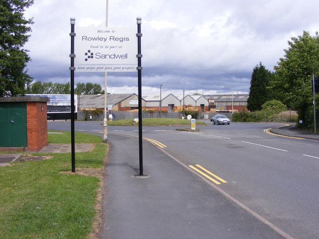
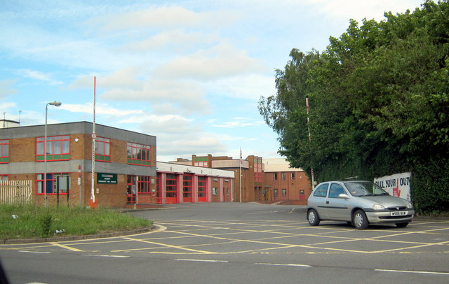
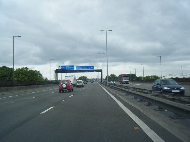
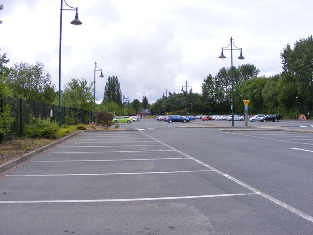
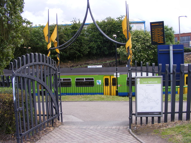
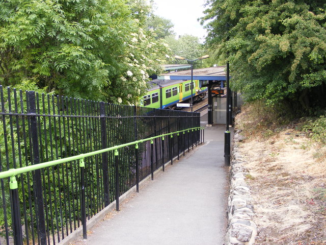
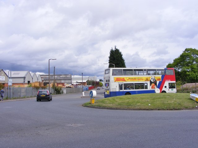
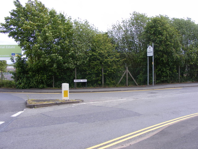
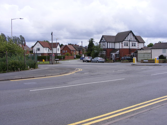
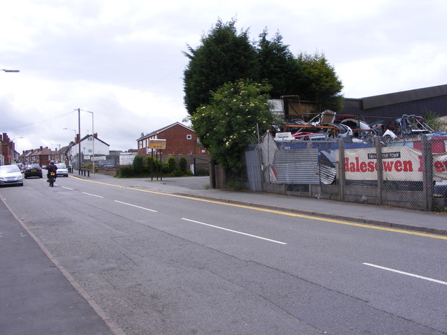
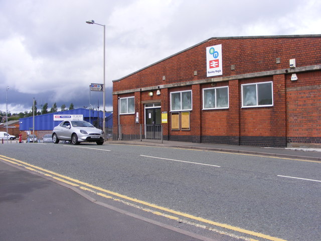
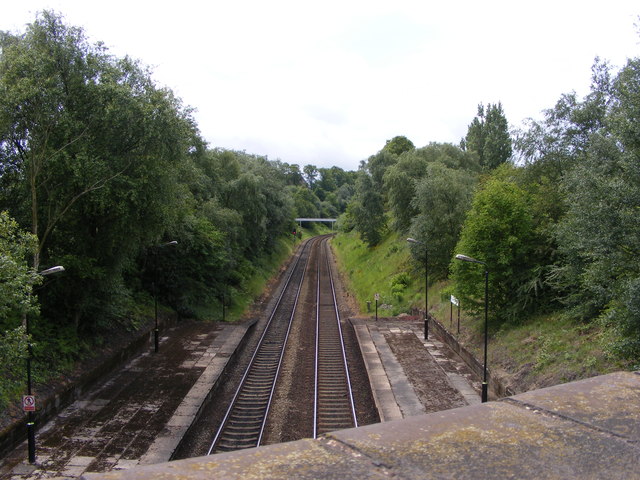
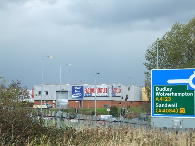
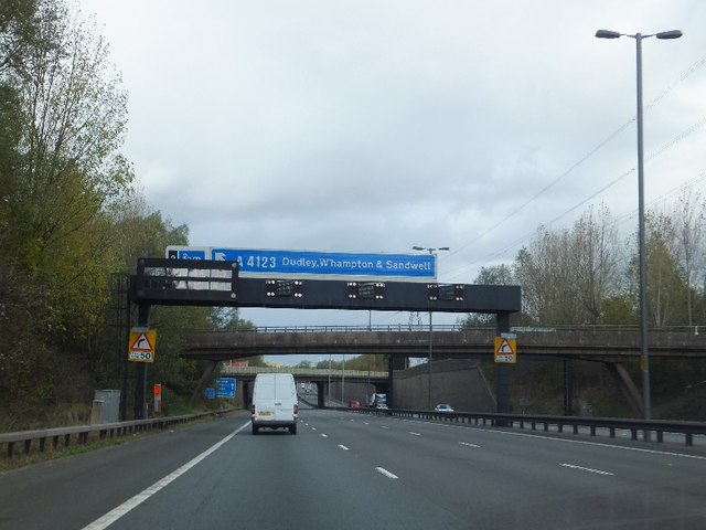
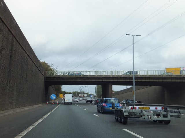
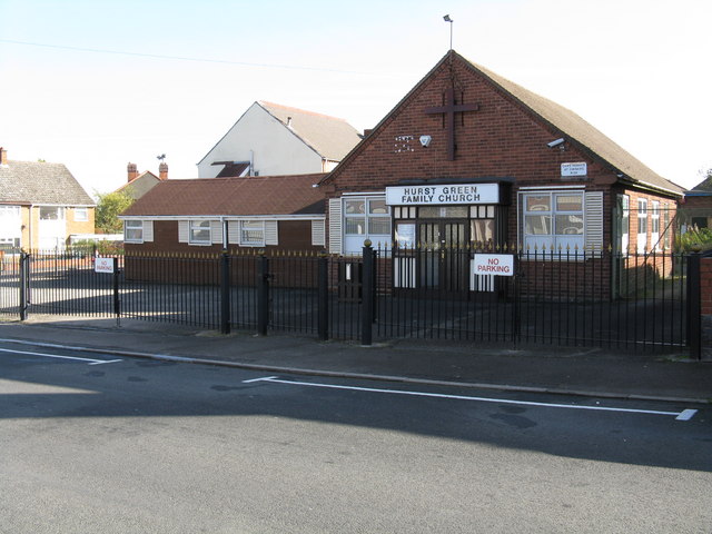
Blackheath Images

Images are sourced within 2km of 52.479226/-2.036395 or Grid Reference SO9786. Thanks to Geograph Open Source API. All images are credited.

Sandwell Border The view from Nimmings Road in Halesowen Dudley towards Rowley Regis.
Sandwell Border
The view from Nimmings Road in Halesowen Dudley towards Rowley Regis.
Oldbury Fire Station, Junction 2 M5 Motorway
M5 Motorway, B4169 Crossing Just Before Junction 3, Northboundj
M5 northbound near Blackheath
M5 northbound approaching junction 2
Way in and out of a trading estate
Railway Car Park The view alongside Rowley Regis Railway Station.
Railway Car Park
The view alongside Rowley Regis Railway Station.
Station Gate The view into Rowley Regis Railway Station from the car park.
Station Gate
The view into Rowley Regis Railway Station from the car park.
Station Path The view down the path to Rowley Regis Railway Station.
Station Path
The view down the path to Rowley Regis Railway Station.
Island Bus The view across the roundabout down Cakemore Road near Rowley Regis Railway Station.
Island Bus
The view across the roundabout down Cakemore Road near Rowley Regis Railway Station.
Nimmings Road The view in Rowley Regis on the border of Halesowen.
Nimmings Road
The view in Rowley Regis on the border of Halesowen.
Douglas Road Junction The view in Rowley Regis Railway from Nimmings Road.
Douglas Road Junction
The view in Rowley Regis Railway from Nimmings Road.
Halesowen Scrapyard The view in Nimmings Road Rowley Regis.
Halesowen Scrapyard
The view in Nimmings Road Rowley Regis.
Rowley Regis Station The view in Station Road of Rowley Regis Railway Station.
Rowley Regis Station
The view in Station Road of Rowley Regis Railway Station.
Platform View The view from Station Road bridge of the track at Rowley Regis Railway Station.
Platform View
The view from Station Road bridge of the track at Rowley Regis Railway Station.
Industrial units at M5 junction 2 Units in Demuth Way, Langley seen from the slip road off the M5 northbound
Industrial units at M5 junction 2
Units in Demuth Way, Langley seen from the slip road off the M5 northbound
Motorway gantry over M5, with footbridge and road bridge beyond Advance warning for junction 2 of the M5
Motorway gantry over M5, with footbridge and road bridge beyond
Advance warning for junction 2 of the M5
Penncricket Lane bridge over M5
Show me another place!

Blackheath is located at Grid Ref: SO9786 (Lat: 52.479226, Lng: -2.036395)

Unitary Authority: Sandwell

Police Authority: West Midlands

What 3 Words

///loves.piles.mental. Near Rowley Regis, West Midlands

Nearby Locations

Blackheath

Related Wikis

Nearby Amenities

Located within 500m of 52.479226,-2.036395
Rowley Regis
Naptan AtcoCode: 9100ROWLEYR
Network: National Rail
Network Website: https://www.nationalrail.co.uk/stations/row/
Network Wikidata: Q26334
Operator: London Midland
Public Transport: station
Railway: station
Ref Crs: ROW
Source: NPE
West Midlands Fare Zone: 3
Wheelchair: yes
Wikidata: Q2497234
Wikipedia: en:Rowley Regis railway station
Lat/Long: 52.4774198/-2.0308221
Pub
Shoulder of Mutton at Blackheath
Addr Housenumber: 66
Addr Postcode: B65 9BA
Addr Street: Birmingham Road
Fhrs Id: 548226
Opening Hours: Mo-Sa 11:00-24:00; Su 12:00-24:00
Source Addr: FHRS Open Data
Lat/Long: 52.4759723/-2.03888
Restaurant
Dilshad Tandoori and Balti Resturant
Cuisine: indian
Opening Hours Signed: no
Source: survey
Lat/Long: 52.4760613/-2.0382374
Blackheath
Place: town
Wikidata: Q2575395
Lat/Long: 52.4756169/-2.0387525
Turning Circle
Source: survey
Lat/Long: 52.4777529/-2.0392061
Post Box
Check Date: 2021-03-17
Ref: B65 375
Royal Cypher: GVIR
Royal Cypher Wikidata: Q33102169
Source: survey
Lat/Long: 52.4773298/-2.0317543
Tesco Express
Addr Housenumber: 26
Addr Postcode: B65 9AT
Addr Street: Rowley Village
Brand: Tesco Express
Brand Wikidata: Q98456772
Brand Wikipedia: en:Tesco
Contact Website: https://www.tesco.com/store-locator/rowley-regis/26-rowley-village
Fhrs Id: 944750
Shop: convenience
Source: survey
Source Addr: FHRS Open Data
Lat/Long: 52.4814754/-2.0427697
Fast Food
Hot Food Paradise
Addr Housenumber: 25
Addr Postcode: B65 9AT
Addr Street: Rowley Village
Fhrs Id: 575781
Source: survey
Source Addr: FHRS Open Data
Lat/Long: 52.4813971/-2.0427187
Pub
The Britannia Inn
Addr Housenumber: 18
Addr Postcode: B65 9AT
Addr Street: Rowley Village
Fhrs Id: 354788
Opening Hours: Mo-Th 14:00-22:00, Fr 12:00-24:00, Sa 12:00-00:30, Su 12:00-22:00
Source: survey
Source Addr: FHRS Open Data
Lat/Long: 52.4811741/-2.0423798
Telephone
Booth: KX100
Check Date: 2021-03-09
Covered: booth
Source: survey
Lat/Long: 52.4755064/-2.0403732
Bus Stop
Birmingham Rd / Barclays Bank
NaPTANAreaCode: 43000910305
Asset Ref: 307002
Bench: yes
Bin: yes
Bus: yes
Lit: yes
Local Ref: BE
Naptan AtcoCode: 43000910305
Naptan Bearing: NW
Naptan BusStopType: MKD
Naptan CommonName: Barclays Bank
Naptan Indicator: Stop BE
Naptan Landmark: Barclays Bank
Naptan NaptanCode: nwmdmapd
Naptan PlusbusZoneRef: BHAMNWS
Naptan Status: ACT
Naptan StopType: BCT
Naptan Street: BIRMINGHAM RD
Naptan Towards: Oldbury, West Bromwich
Public Transport: platform
Route Ref: 4;4H;4M;89;231;289
Shelter: yes
Shelter Ref: 307002
Source: WMCA
Tactile Paving: yes
Lat/Long: 52.4762811/-2.0389899
Cafe
Wendy's Salt and Pepper Pot
Addr Housenumber: 72A
Addr Postcode: B65 9BA
Addr Street: Birmingham Road
Fhrs Id: 575813
Not Brand Wikidata: Q550258
Opening Hours Signed: no
Source: estimate
Source Addr: FHRS Open Data
Lat/Long: 52.4760254/-2.0392031
Post Box
Collection Times: Mo-Fr 09:00, Sa 07:00
Post Box Type: pillar
Ref: B65 702
Royal Cypher: GR
Royal Cypher Wikidata: Q33102273
Source: survey
Lat/Long: 52.4830467/-2.0377585
Telephone
Booth: KX100
Check Date: 2021-03-17
Covered: booth
Source: survey
Lat/Long: 52.4831539/-2.0376643
Bus Stop
Bell End / Enfield Rd
Bench: no
Bus: yes
Check Date Shelter: 2021-03-17
Naptan AtcoCode: 43000912801
Naptan Bearing: NE
Naptan BusStopType: MKD
Naptan CommonName: Enfield Rd
Naptan Indicator: adj
Naptan NaptanCode: nwmpatwj
Naptan PlusbusZoneRef: BHAMNWS
Naptan Status: ACT
Naptan StopType: BCT
Naptan Street: BELL END
Naptan Towards: Whiteheath
Public Transport: platform
Route Ref: 127
Shelter: no
Source: WMCA
Tactile Paving: no
Lat/Long: 52.4828702/-2.0380155
Bus Stop
Bell End / Enfield Rd
Bench: no
Bus: yes
Naptan AtcoCode: 43000912802
Naptan Bearing: SW
Naptan BusStopType: MKD
Naptan CommonName: Enfield Rd
Naptan Indicator: opp
Naptan NaptanCode: nwmpatwm
Naptan PlusbusZoneRef: BHAMNWS
Naptan Status: ACT
Naptan StopType: BCT
Naptan Street: BELL END
Naptan Towards: Blackheath
Public Transport: platform
Route Ref: 127
Shelter: no
Source: WMCA
Tactile Paving: no
Lat/Long: 52.4826033/-2.0383822
Barrier: bollard
Note: retractable
Source: survey
Lat/Long: 52.4769984/-2.0303585
Post Box
Collection Times: Mo-Fr 09:00, Sa 07:00
Ref: B65 1105
Royal Cypher: EIIR
Royal Cypher Wikidata: Q33102113
Source: survey
Lat/Long: 52.4807171/-2.0318109
Addr Housenumber: 1
Addr Street: Boundary Avenue
Lat/Long: 52.4805678/-2.0316911
Addr Housenumber: 83
Addr Street: Oldbury Road
Lat/Long: 52.4807245/-2.0316208
Bus Stop
Long Lane / Blackheath Market
NaPTANAreaCode: 43000910201
Bench: yes
Bin: no
Bus: yes
Lit: no
Local Ref: BB
Naptan AtcoCode: 43000910201
Naptan Bearing: NW
Naptan BusStopType: MKD
Naptan CommonName: Blackheath Market
Naptan Indicator: Stop BB
Naptan Landmark: The Ashley
Naptan NaptanCode: nwmdtatp
Naptan PlusbusZoneRef: BHAMNWS
Naptan Status: ACT
Naptan StopType: BCT
Naptan Street: LONG LANE
Naptan Towards: Dudley
Naptan Verified: no
Operator: Centro
Public Transport: platform
Route Ref: 127;129;140;231;241
Shelter: yes
Shelter Ref: 307046
Source: WMCA
Tactile Paving: yes
Website: http://netwmtravelmap.com/#|bus=43000910201
Lat/Long: 52.4749773/-2.0380438
Bus Stop
Long Lane / Blackheath Market
NaPTANAreaCode: 43000910202
Asset Ref: 307041
Bench: yes
Bin: yes
Bus: yes
Lit: yes
Local Ref: BA
Naptan AtcoCode: 43000910202
Naptan Bearing: SE
Naptan BusStopType: MKD
Naptan CommonName: Blackheath Market
Naptan Indicator: Stop BA
Naptan Landmark: The Ashley
Naptan NaptanCode: nwmdtdpg
Naptan PlusbusZoneRef: BHAMNWS
Naptan Status: ACT
Naptan StopType: BCT
Naptan Street: LONG LANE
Naptan Towards: Quinton
Public Transport: platform
Route Ref: 12;127;129;140;241
Shelter: yes
Shelter Ref: 307041
Source: WMCA
Tactile Paving: no
Lat/Long: 52.4756676/-2.0384493
Bus Stop
Birmingham Rd / Carlyle Rd
Bench: no
Bus: yes
Naptan AtcoCode: 43000910501
Naptan Bearing: NW
Naptan BusStopType: MKD
Naptan CommonName: Carlyle Rd
Naptan Indicator: before
Naptan NaptanCode: nwmdmapm
Naptan PlusbusZoneRef: BHAMNWS
Naptan Status: ACT
Naptan StopType: BCT
Naptan Street: BIRMINGHAM RD
Naptan Towards: Dudley
Naptan Verified: no
Public Transport: platform
Route Ref: 89;127;140;241;289
Shelter: no
Source: WMCA
Tactile Paving: no
Lat/Long: 52.4777984/-2.0400494
Bus Stop
Birmingham Rd / Carlyle Rd
NaPTANAreaCode: 43000910502
Bench: yes
Bus: yes
Naptan AtcoCode: 43000910502
Naptan Bearing: SE
Naptan BusStopType: MKD
Naptan CommonName: Carlyle Rd
Naptan Indicator: adjacent
Naptan NaptanCode: nwmdmapt
Naptan PlusbusZoneRef: BHAMNWS
Naptan Status: ACT
Naptan StopType: BCT
Naptan Street: BIRMINGHAM RD
Naptan Towards: Blackheath
Naptan Verified: no
Public Transport: platform
Route Ref: 89;127;140;241;289
Shelter: yes
Shelter Ref: 307056
Source: WMCA
Tactile Paving: no
Lat/Long: 52.4785366/-2.0404322
Bus Stop
Rowley Village / Bell End
Bench: no
Bus: yes
Naptan AtcoCode: 43000910601
Naptan Bearing: SE
Naptan BusStopType: MKD
Naptan CommonName: Bell End
Naptan Indicator: adj
Naptan NaptanCode: nwmdmapw
Naptan PlusbusZoneRef: BHAMNWS
Naptan Status: ACT
Naptan StopType: BCT
Naptan Street: ROWLEY VILLAGE
Naptan Towards: Blackheath
Naptan Verified: no
Public Transport: platform
Route Ref: 89;127;140;241;289
Shelter: no
Source: WMCA
Tactile Paving: no
Lat/Long: 52.4809005/-2.0419657
Bus Stop
Oldbury Rd / Station Rd
Bench: no
Bin: no
Bus: yes
Lit: no
Naptan AtcoCode: 43000910702
Naptan Bearing: NE
Naptan BusStopType: MKD
Naptan CommonName: Station Rd
Naptan Indicator: after
Naptan NaptanCode: nwmpatpj
Naptan PlusbusZoneRef: BHAMNWS
Naptan Status: ACT
Naptan StopType: BCT
Naptan Street: OLDBURY RD
Naptan Towards: Oldbury
Naptan Verified: no
Public Transport: platform
Route Ref: 4;4H;4M
Shelter: no
Source: WMCA
Tactile Paving: yes
Lat/Long: 52.4786577/-2.0346172
Bus Stop
Oldbury Rd / Station Rd
Bench: no
Bin: no
Bus: yes
Lit: yes
Naptan AtcoCode: 43000910703
Naptan Bearing: SW
Naptan BusStopType: MKD
Naptan CommonName: Station Rd
Naptan Indicator: before
Naptan NaptanCode: nwmpatpm
Naptan PlusbusZoneRef: BHAMNWS
Naptan Status: ACT
Naptan StopType: BCT
Naptan Street: OLDBURY RD
Naptan Towards: Blackheath
Naptan Verified: no
Public Transport: platform
Route Ref: 4;4H;4M
Shelter: no
Source: WMCA
Tactile Paving: yes
Lat/Long: 52.478515/-2.0347237
Bus Stop
Station Rd / Rowley Regis Station
Bus: yes
Naptan AtcoCode: 43000910801
Naptan Bearing: SE
Naptan BusStopType: MKD
Naptan CommonName: Rowley Regis Station
Naptan NaptanCode: nwmtdmda
Naptan PlusbusZoneRef: BHAMNWS
Naptan Status: ACT
Naptan StopType: BCT
Naptan Street: STATION RD
Naptan Towards: Brandhall
Naptan Verified: no
Public Transport: platform
Route Ref: 127;231
Source: WMCA
Lat/Long: 52.4769493/-2.0309842
Bus Stop
Station Rd / Rowley Regis Station
Bench: no
Bin: no
Bus: yes
Naptan AtcoCode: 43000910802
Naptan Bearing: NW
Naptan BusStopType: MKD
Naptan CommonName: Rowley Regis Station
Naptan NaptanCode: nwmtdmdg
Naptan PlusbusZoneRef: BHAMNWS
Naptan Status: ACT
Naptan StopType: BCT
Naptan Street: STATION RD
Naptan Towards: Blackheath
Naptan Verified: no
Public Transport: platform
Route Ref: 127;231
Shelter: no
Source: WMCA
Tactile Paving: yes
Lat/Long: 52.4771255/-2.0321332
Bus Stop
Oldbury Rd / Regis Heath Rd
Bench: no
Bin: no
Bus: yes
Lit: no
Naptan AtcoCode: 43000910901
Naptan Bearing: SW
Naptan BusStopType: MKD
Naptan CommonName: Regis Heath Rd
Naptan Indicator: adj
Naptan NaptanCode: nwmpatpt
Naptan PlusbusZoneRef: BHAMNWS
Naptan Status: ACT
Naptan StopType: BCT
Naptan Street: OLDBURY RD
Naptan Towards: Blackheath
Naptan Verified: no
Public Transport: platform
Route Ref: 4;4H
Shelter: no
Source: WMCA
Tactile Paving: yes
Lat/Long: 52.4794188/-2.0331284
Bus Stop
Oldbury Rd / Regis Heath Rd
Bench: no
Bin: no
Bus: yes
Lit: no
Naptan AtcoCode: 43000910902
Naptan Bearing: NE
Naptan BusStopType: MKD
Naptan CommonName: Regis Heath Rd
Naptan Indicator: opp
Naptan NaptanCode: nwmpatpw
Naptan PlusbusZoneRef: BHAMNWS
Naptan Status: ACT
Naptan StopType: BCT
Naptan Street: OLDBURY RD
Naptan Towards: Oldbury
Naptan Verified: no
Public Transport: platform
Route Ref: 4;4H;4M
Shelter: no
Source: WMCA
Tactile Paving: yes
Lat/Long: 52.4800392/-2.0325627
Bus Stop
Mincing Lane / Uplands Lane
Bench: no
Bin: no
Bus: yes
Lit: yes
Naptan AtcoCode: 43000915001
Naptan Bearing: E
Naptan BusStopType: MKD
Naptan CommonName: Uplands Lane
Naptan Indicator: adj
Naptan NaptanCode: nwmpawga
Naptan PlusbusZoneRef: BHAMNWS
Naptan Status: ACT
Naptan StopType: BCT
Naptan Street: MINCING LANE
Naptan Towards: Whiteheath
Naptan Verified: no
Public Transport: platform
Route Ref: 127
Shelter: no
Source: WMCA
Tactile Paving: no
Lat/Long: 52.4830964/-2.0348995
Bus Stop
Mincing Lane / Uplands Lane
Bench: no
Bin: no
Bus: yes
Lit: yes
Naptan AtcoCode: 43000915002
Naptan Bearing: W
Naptan BusStopType: MKD
Naptan CommonName: Uplands Lane
Naptan Indicator: opp
Naptan NaptanCode: nwmpawgd
Naptan PlusbusZoneRef: BHAMNWS
Naptan Status: ACT
Naptan StopType: BCT
Naptan Street: MINCING LANE
Naptan Towards: Blackheath
Naptan Verified: no
Public Transport: platform
Route Ref: 127
Shelter: no
Source: WMCA
Tactile Paving: no
Lat/Long: 52.4829887/-2.0343693
Bus Stop
Oldbury Rd / Mincing Lane
Bench: no
Bin: yes
Bus: yes
Lit: no
Naptan AtcoCode: 43000915101
Naptan Bearing: SW
Naptan BusStopType: MKD
Naptan CommonName: Mincing Lane
Naptan Indicator: opp
Naptan Landmark: Post Office
Naptan NaptanCode: nwmpawgj
Naptan PlusbusZoneRef: BHAMNWS
Naptan Status: ACT
Naptan StopType: BCT
Naptan Street: OLDBURY RD
Naptan Towards: Blackheath
Naptan Verified: no
Public Transport: platform
Route Ref: 4;4H;4M
Shelter: no
Source: WMCA
Tactile Paving: yes
Lat/Long: 52.4818028/-2.0312761
Bus Stop
Bell End / Britannia Rd
Bench: no
Bus: yes
Check Date Shelter: 2021-03-08
Naptan AtcoCode: 43009160502
Naptan Bearing: E
Naptan BusStopType: MKD
Naptan CommonName: Britannia Rd
Naptan Indicator: opp
Naptan NaptanCode: nwmpmtgt
Naptan PlusbusZoneRef: BHAMNWS
Naptan Status: ACT
Naptan StopType: BCT
Naptan Street: BELL END
Naptan Towards: Whiteheath
Public Transport: platform
Route Ref: 127
Shelter: no
Source: WMCA
Tactile Paving: no
Lat/Long: 52.4817032/-2.0418906
Cycleway: asl
Direction: forward
Lat/Long: 52.4777852/-2.0353997
Bank
Barclays
Atm: yes
Brand: Barclays
Brand Wikidata: Q245343
Brand Wikipedia: en:Barclays
Opening Hours: Mo,Th,Fr 09:30-14:00; We 10:00-14:00
Operator: Barclays Bank PLC
Lat/Long: 52.4762272/-2.0392366
Rowley Regis
Public Transport: stop_position
Railway: stop
Train: yes
Lat/Long: 52.4774272/-2.0308399
Rowley Regis
Public Transport: stop_position
Railway: stop
Train: yes
Lat/Long: 52.477405/-2.0307929
Railway: switch
Lat/Long: 52.4780415/-2.0297831
Railway: switch
Lat/Long: 52.4782396/-2.0294156
Railway: switch
Lat/Long: 52.4780326/-2.0298823
Turning Circle
Lat/Long: 52.4813505/-2.0305464
Turning Circle
Lat/Long: 52.4813889/-2.0308968
Traffic Signals
Source: survey
Lat/Long: 52.4777921/-2.0354286
Traffic Signals
Source: survey
Lat/Long: 52.4780342/-2.0358668
Traffic Signals
Source: survey
Lat/Long: 52.4780295/-2.0355033
Traffic Signals
Source: survey
Lat/Long: 52.4778073/-2.0358395
Traffic Signals
Source: survey
Lat/Long: 52.4766613/-2.037886
Crossing
Lat/Long: 52.4750615/-2.0367752
Traffic Signals
Source: survey
Lat/Long: 52.476715/-2.0377966
Deb 'n' Hair
Shop: hairdresser
Lat/Long: 52.481758/-2.0416117
Community Centre
Britannia Park Sons of Rest and Community Centre
Lat/Long: 52.4804018/-2.0420814
Bridal Design
Opening Hours Signed: no
Shop: clothes
Lat/Long: 52.4794505/-2.0408901
Studio 16
Shop: hairdresser
Lat/Long: 52.477459/-2.0394796
Dentist
Bhandal NHS Dental Surgery
Check Date Opening Hours: 2022-08-24
Healthcare: dentist
Opening Hours: Mo-Fr 09:00-18:00; Sa 09:00-13:00
Operator: Bhandal
Website: https://bhandaldentalblackheath.co.uk/birmingham-road
Lat/Long: 52.4763637/-2.039301
Blackheath Home Appliance
Shop: doityourself
Lat/Long: 52.4771717/-2.0364533
Mac Convenience
Addr Housenumber: 70
Addr Postcode: B65 0JS
Addr Street: Oldbury Road
Fhrs Id: 575776
Not Brand Wikidata: Q2624442
Opening Hours: Mo-Su 06:00-24:00
Shop: convenience
Source Addr: FHRS Open Data
Lat/Long: 52.4771074/-2.0365675
HC Nail Studio
Beauty: nails
Shop: beauty
Lat/Long: 52.4770769/-2.0366187
Restaurant
King Fu Kitchen
Addr Housenumber: 66
Addr Postcode: B65 0JS
Addr Street: Oldbury Road
Fhrs Id: 112599
Source Addr: FHRS Open Data
Lat/Long: 52.4770252/-2.0367085
Fast Food
Italian Job Pizza
Addr Housenumber: 32
Addr Postcode: B65 0JN
Addr Street: Oldbury Road
Fhrs Id: 485414
Source Addr: FHRS Open Data
Lat/Long: 52.4762579/-2.0378818
The Animal House Rescue Charity Shop
Opening Hours: Mo-Sa 09:00-16:00; Su 10:00-16:00
Shop: charity
Lat/Long: 52.4762218/-2.0379568
BoyleSports
Brand: BoyleSports
Brand Wikidata: Q56760280
Brand Wikipedia: en:BoyleSports
Opening Hours Signed: no
Shop: bookmaker
Lat/Long: 52.4761417/-2.0380776
Restaurant
Munchies Grill
Opening Hours Signed: no
Takeaway: yes
Lat/Long: 52.4760178/-2.0382922
Restaurant
Westside Hertiage
Opening Hours Signed: no
Takeaway: yes
Lat/Long: 52.475993/-2.0383271
Designz Hair Studio
Opening Hours Signed: no
Shop: hairdresser
Lat/Long: 52.4759522/-2.0383538
JK Opticians
Opening Hours: Mo-Sa 09:00-17:30; Su 09:00-16:00
Shop: optician
Lat/Long: 52.4759514/-2.0384343
Dojo
Tekio Gemu Martial Arts Centre
Lat/Long: 52.4756844/-2.0391542
RSPCA Charity Shop
Shop: clothes
Lat/Long: 52.4758493/-2.0384678
Restaurant
Indulgence Contemporary Bangladeshi & Indian Cuisine
Takeaway: yes
Lat/Long: 52.475712/-2.0383565
Jamie's Bakery & Deli
Shop: bakery
Lat/Long: 52.4756369/-2.0383297
Marketplace
Blackheath Market
Lat/Long: 52.4756549/-2.037972
Restaurant
Bobbo's Today's Catch
Cuisine: fish_and_chips
Opening Hours: Mo-Sa 11:00-21:00
Takeaway: yes
Lat/Long: 52.4754437/-2.0381437
Factory Shop
Opening Hours Signed: no
Shop: clothes
Lat/Long: 52.4753685/-2.0381196
Jas Casualwear
Shop: clothes
Lat/Long: 52.4753236/-2.0380646
Sidaways Chartered Acountants and Business Advisers
Shop: accountant
Lat/Long: 52.475228/-2.0379693
1st Class Turkish Style Barbers
Shop: hairdresser
Lat/Long: 52.4748662/-2.0376073
Savers
Addr Housenumber: 394A-394B
Addr Postcode: B65 0JE
Addr Street: Long Lane
Brand: Savers
Brand Wikidata: Q7428189
Brand Wikipedia: en:Savers (UK retailer)
Fhrs Id: 1207641
Official Name: Savers Health & Beauty
Opening Hours: Mo-Sa 08:30-17:30; Su 10:00-16:00
Shop: chemist
Source Addr: FHRS Open Data
Lat/Long: 52.4750725/-2.0383087
Mary Stevens Hospice Shop
Shop: clothes
Lat/Long: 52.4751608/-2.0383569
JC Upholstery Services
Craft: upholsterer
Lat/Long: 52.47524/-2.038884
Kwik Tan
Shop: beauty
Lat/Long: 52.4758792/-2.0401405
Stocks Flowers
Shop: florist
Lat/Long: 52.4776511/-2.0318903
School
Nail School & Beauty Academy
Lat/Long: 52.4783046/-2.0347129
Crossing
Button Operated: yes
Crossing: traffic_signals
Crossing Island: no
Tactile Paving: yes
Traffic Signals Sound: yes
Lat/Long: 52.4812452/-2.0422024
Vending Machine
BlackHeath Market
Category: Stop
Check Date: 2022-08-24
Mode: Bus
Naptan: 43000663904
Operator: TfWM
Payment: no
Postal Code: B65 0HS
Public Transport Ticket: Swift Card
Shelter: 307041
Source: TfWM
Top Up: yes
Vending: public_transport_tickets
Lat/Long: 52.4756087/-2.0383931
Railway: signal
Ref: SJ38
Source: visual survey
Lat/Long: 52.4753403/-2.0343275
Railway: signal
Ref: SJ41
Source: visual survey
Lat/Long: 52.475826/-2.0332834
Turning Circle
Lat/Long: 52.48302/-2.0399272
B65 Hair Salon
Opening Hours Signed: no
Shop: hairdresser
Lat/Long: 52.4830762/-2.0379998
Cafe
Jennie's Amazing Cafe
Addr Housenumber: 35
Addr Postcode: B65 9LR
Addr Street: Bell End
Fhrs Id: 1242062
Source Addr: FHRS Open Data
Lat/Long: 52.4831317/-2.0378684
Nisa Local
Addr Housenumber: 40
Addr Postcode: B65 9QF
Addr Street: Mincing Lane
Branch: Rowley News
Brand: Nisa Local
Brand Wikidata: Q16999069
Brand Wikipedia: en:Nisa (retailer)
Fhrs Id: 575783
Opening Hours: Mo-Sa 05:00-21:30; Su 05:00-20:00
Shop: convenience
Source Addr: FHRS Open Data
Lat/Long: 52.4833587/-2.0365842
Relax Hair & Beauty Salon
Shop: hairdresser
Lat/Long: 52.4824044/-2.0393264
Turning Circle
Lat/Long: 52.4820907/-2.0418439
Barrier: bollard
Lat/Long: 52.47918/-2.0373739
Barrier: bollard
Lat/Long: 52.4792438/-2.0374437
Barrier: bollard
Lat/Long: 52.4791457/-2.0373847
Barrier: bollard
Lat/Long: 52.4792764/-2.0374812
Barrier: bollard
Lat/Long: 52.4792127/-2.0374061
Barrier: bollard
Lat/Long: 52.4792797/-2.0375402
Blackheath & Rowley Garage
Shop: car_repair
Lat/Long: 52.4788674/-2.0403697
Barrier: bollard
Lat/Long: 52.4783027/-2.0380175
Turning Circle
Lat/Long: 52.4779621/-2.0385088
Barrier: bollard
Lat/Long: 52.4782945/-2.0376608
Car Rental
Star Autos Truck Rental
Lat/Long: 52.4770311/-2.0324389
Travis Perkins
Brand: Travis Perkins
Brand Wikidata: Q2450664
Brand Wikipedia: en:Travis Perkins
Shop: doityourself
Website: https://www.travisperkins.co.uk/branch-locator/3614
Lat/Long: 52.4767671/-2.0329617
Disused Name: TDR Bridesmaids
Disused Shop: clothes
Lat/Long: 52.4771413/-2.0365014
Fast Food
Cetin Turkish Kebab House
Cuisine: kebab
Lat/Long: 52.4769461/-2.0367707
Parking
Access: yes
Fee: no
Parking: lane
Lat/Long: 52.4771559/-2.0366603
Doctors
The College of Foot Health Practitioners
Healthcare: doctor
Opening Hours Signed: no
Lat/Long: 52.4767687/-2.0370564
Lidl
Addr Postcode: B65 0LG
Addr Street: Oldbury Road
Brand: Lidl
Brand Wikidata: Q151954
Brand Wikipedia: en:Lidl
Fhrs Id: 1107854
Opening Hours: Mo-Sa 08:00-22:00; Su 10:00-16:00; PH 08:00-20:00
Shop: supermarket
Source Addr: FHRS Open Data
Website: https://www.lidl.co.uk/s/en-GB/store-finder/blackheath/rowley-regis/parkside-house-oldbury-road/
Lat/Long: 52.4765284/-2.036748
Barrier: lift_gate
Lat/Long: 52.4762844/-2.03828
Taxi
Blackheath Cars
Lat/Long: 52.4761842/-2.0380023
Fast Food
Dilshad Takeaway
Addr Housenumber: 16-20
Addr Postcode: B65 0JN
Addr Street: Oldbury Road
Fhrs Id: 136739
Opening Hours Signed: no
Source Addr: FHRS Open Data
Lat/Long: 52.4760927/-2.0381847
Barrier: bollard
Lat/Long: 52.4761544/-2.0375805
Mujeeb's Sweets & Savouries
Shop: confectionery
Lat/Long: 52.4749928/-2.0377415
Natural Health Center
Shop: beauty
Lat/Long: 52.4748205/-2.037586
Cash Converters
Brand: Cash Converters
Brand Wikidata: Q5048645
Shop: pawnbroker
Website: https://www.cashconverters.co.uk/stores/blackheath
Lat/Long: 52.4749528/-2.037586
Digital & Analogue
Shop: electronics
Lat/Long: 52.4750631/-2.0377308
Addr Housenumber: 5
Addr Postcode: B65 0NL
Addr Street: Oldbury Road
Disused Shop: variety_store
Old Name: Wilko
Source Addr: FHRS Open Data
Toilets: no
Lat/Long: 52.4763077/-2.0386307
Cafe
The Coffee Tree
Addr Housenumber: 395
Addr Postcode: B65 0JE
Addr Street: Long Lane
Fhrs Id: 1176961
Opening Hours: Su 09:00-14:00
Source Addr: FHRS Open Data
Lat/Long: 52.4752197/-2.0384054
International Shop
Addr Housenumber: 4
Addr Postcode: B65 0HG
Addr Street: Halesowen Street
Fhrs Id: 1051749
Shop: convenience
Source Addr: FHRS Open Data
Lat/Long: 52.4751821/-2.0394515
Poundland
Brand: Poundland
Brand Wikidata: Q1434528
Brand Wikipedia: en:Poundland
Opening Hours: Mo-Sa 08:00-18:00; Su 10:00-16:00
Shop: variety_store
Lat/Long: 52.4749436/-2.0382472
Nails 4 U
Shop: beauty
Lat/Long: 52.4753895/-2.0388909
Poddys Cobblers
Opening Hours: Mo-Fr 09:30-17:00; Sa 09:30-16:00
Shop: shoes
Lat/Long: 52.4753111/-2.0387005
Coral
Brand: Coral
Brand Wikidata: Q54621344
Brand Wikipedia: en:Coral (bookmaker)
Opening Hours: Mo-Fr 08:30-20:00; Sa 08:00-20:00; Su 09:30-18:30
Shop: bookmaker
Lat/Long: 52.4753716/-2.0391082
Eyes & Vision
Opening Hours: Mo-Sa 09:30-17:00
Shop: optician
Lat/Long: 52.4752898/-2.0386546
Sparkle Ladies Fashion
Shop: clothes
Lat/Long: 52.4752834/-2.0384912
Pharmacy
M.W. Phillips Chemist
Dispensing: yes
Healthcare: pharmacy
Opening Hours: Mo-Fr 09:00-18:00; Sa 09:00-14:00
Lat/Long: 52.4752556/-2.038451
Post Office
Blackheath Post Office
Addr City: Rowley Regis
Addr Housenumber: 2-4
Addr Postcode: B65 0HG
Addr Street: Halesowen Street
Opening Hours: Mo-Sa 09:00-17:30
Ref Pol Id: 133539
Source Addr: pol_branch_list_2018-02
Source Opening Hours: pol_branch_list_2018-02
Lat/Long: 52.4752245/-2.0392932
Fast Food
Love Peri Peri
Lat/Long: 52.4753634/-2.0387379
Bright Bargains
Shop: doityourself
Lat/Long: 52.4753047/-2.0385476
Post Box
Collection Times: Mo-Fr 17:00, Sa 11:30
Ref: B65 441
Royal Cypher: GR
Royal Cypher Wikidata: Q33102273
Lat/Long: 52.4752771/-2.0394391
Your Budget Blinds
Opening Hours: Mo,Tu,Th-Sa 10:00-15:00
Shop: window_blind
Lat/Long: 52.4753797/-2.0389606
Acorns
Charity: yes
Opening Hours: Mo-Sa 09:00-17:00
Shop: clothes
Lat/Long: 52.4756065/-2.0395882
Blackheath Home Furnishing
Shop: furniture
Lat/Long: 52.4758515/-2.0389606
Barrier: bollard
Lat/Long: 52.4760576/-2.0395435
Fast Food
Greggs
Addr Housenumber: 181
Addr Postcode: B65 0DU
Addr Street: High Street
Brand: Greggs
Brand Wikidata: Q3403981
Brand Wikipedia: en:Greggs
Contact Website: https://www.greggs.co.uk/shop-finder?shop-code=0481
Cuisine: sandwich;bakery
Fhrs Id: 98581
Opening Hours Signed: no
Source Addr: FHRS Open Data
Takeaway: yes
Lat/Long: 52.4756048/-2.0396606
Toilets
Fee: no
Wheelchair: yes
Lat/Long: 52.4762713/-2.0396149
Iceland
Addr Housenumber: 179-180
Addr Postcode: B65 0DU
Addr Street: High Street
Brand: Iceland
Brand Wikidata: Q721810
Brand Wikipedia: en:Iceland (supermarket)
Contact Website: https://www.iceland.co.uk/store-finder/store?StoreID=531&StoreName=BLACKHEATH
Fhrs Id: 189919
Opening Hours: Mo-Sa 09:00-18:00; Su 10:00-16:00
Shop: frozen_food
Source Addr: FHRS Open Data
Lat/Long: 52.4756275/-2.0397684
Age UK
Charity: yes
Opening Hours Signed: no
Shop: clothes
Lat/Long: 52.4756097/-2.0395131
Compton Care Blackheath Shop
Shop: clothes
Lat/Long: 52.4757653/-2.0390785
Admiral
Addr Housenumber: 174
Addr Postcode: B65 0DU
Addr Street: High Street
Brand: Admiral
Brand Wikidata: Q25205850
Contact Website: https://www.admiralslots.co.uk/venues/rowley-regis/
Fhrs Id: 209788
Gambling: slot_machines
Leisure: adult_gaming_centre
Source Addr: FHRS Open Data
Lat/Long: 52.4756539/-2.0401263
Fast Food
Tak's Fish & Chips
Addr Housenumber: 176
Addr Postcode: B65 0DU
Addr Street: High Street
Fhrs Id: 575730
Source Addr: FHRS Open Data
Lat/Long: 52.4756422/-2.0400144
Card Factory
Brand: Card Factory
Brand Wikidata: Q5038192
Brand Wikipedia: en:Card Factory
Opening Hours Signed: no
Shop: gift
Lat/Long: 52.4756375/-2.039905
Barrier: bollard
Lat/Long: 52.4762721/-2.0390262
Barrier: bollard
Lat/Long: 52.4761127/-2.0390022
Barrier: bollard
Lat/Long: 52.47621/-2.0389832
Barrier: bollard
Lat/Long: 52.4761439/-2.0389765
Barrier: bollard
Lat/Long: 52.4763497/-2.0390838
Barrier: bollard
Lat/Long: 52.4761691/-2.0389645
Barrier: bollard
Lat/Long: 52.4762407/-2.0390045
Barrier: bollard
Lat/Long: 52.4760765/-2.0394724
Barrier: bollard
Lat/Long: 52.4760069/-2.0395093
Barrier: bollard
Lat/Long: 52.4760341/-2.0395277
Barrier: bollard
Lat/Long: 52.4763091/-2.0390536
Barrier: bollard
Lat/Long: 52.4761029/-2.0390424
Barrier: bollard
Lat/Long: 52.4760941/-2.039079
Barrier: bollard
Lat/Long: 52.4760826/-2.0391262
Barrier: bollard
Lat/Long: 52.4759839/-2.0394937
Barrier: bollard
Lat/Long: 52.4760885/-2.0394272
Barrier: bollard
Lat/Long: 52.4761014/-2.0393788
Pavel Turkish Barber
Opening Hours: Mo-We,Sa 09:00-18:00; Th,Fr 09:00-18:30; Su 10:00-16:00
Shop: hairdresser
Lat/Long: 52.4754508/-2.0398879
Eyeland Optician
Opening Hours: Mo-Fr 09:00-17:00; Sa 09:00-16:30
Shop: optician
Lat/Long: 52.4754393/-2.0397484
Courtsey Travel
Opening Hours: Mo-Sa 10:00-14:00
Shop: travel_agency
Lat/Long: 52.4754455/-2.0400554
Salon Beaut
Beauty: nails
Opening Hours: Mo-Fr 09:30-18:00; Sa 09:00-17:00
Shop: beauty
Lat/Long: 52.4754377/-2.0396787
Phillip Eley Butchers
Addr Housenumber: 7
Addr Postcode: B65 0DT
Addr Street: High Street
Fhrs Id: 135050
Shop: butcher
Source Addr: FHRS Open Data
Lat/Long: 52.475428/-2.0399735
Fast Food
Rowan Shawarma
Lat/Long: 52.4754442/-2.0395902
Matrix Communications
Opening Hours Signed: no
Shop: mobile_phone
Lat/Long: 52.4754507/-2.0402741
iVape Store & Lounge
Opening Hours: Mo-Sa 09:00-18:00; Su 10:00-16:00
Shop: tobacco
Lat/Long: 52.4754475/-2.0402071
Blackheath Flower Shop
Opening Hours Signed: no
Shop: florist
Lat/Long: 52.4756625/-2.0407586
Specsavers
Brand: Specsavers
Brand Wikidata: Q2000610
Brand Wikipedia: en:Specsavers
Contact Website: https://www.specsavers.co.uk/stores/blackheath
Shop: optician
Lat/Long: 52.4756747/-2.0405198
Urban Sports
Opening Hours Signed: no
Shop: sports
Lat/Long: 52.4756715/-2.0404339
Heron Foods
Addr City: Rowley Regis
Addr Country: GB
Addr Housenumber: 168,169
Addr Postcode: B65 0DX
Addr Street: High Street
Brand: Heron Foods
Brand Wikidata: Q5743472
Brand Wikipedia: en:Heron Foods
Contact Website: https://heronfoods.com/store/blackheath/
Fhrs Id: 936787
Opening Hours: Mo-Sa 08:00-18:00; Su 09:00-17:00
Shop: supermarket
Lat/Long: 52.4757001/-2.0406244
The Barber Shop
Shop: hairdresser
Lat/Long: 52.4759042/-2.0412467
LeisurePrint Printing and Emboidery
Shop: clothes
Lat/Long: 52.475687/-2.0408578
William Hill
Brand: William Hill
Brand Wikidata: Q4053147
Brand Wikipedia: en:William Hill (bookmaker)
Opening Hours: Mo-Sa 08:00-20:00; Su 09:00-19:00
Shop: bookmaker
Lat/Long: 52.4757001/-2.040941
The Sunbed Shop
Shop: beauty
Lat/Long: 52.4759778/-2.0414881
Place Of Worship
St. Aubyn
Religion: christian
Lat/Long: 52.4769909/-2.0397872
Michelin
Branch: Drive In Autocentre
Brand: Michelin
Brand Wikidata: Q151107
Shop: tyres
Lat/Long: 52.4766641/-2.0406643
Barrier: bollard
Lat/Long: 52.4766052/-2.0401716
Barrier: bollard
Lat/Long: 52.4765938/-2.0402413
Barrier: bollard
Lat/Long: 52.4765986/-2.0402038
Cafe
Alans
Lat/Long: 52.4771155/-2.040207
Nightclub
Blackheath Coronation Social Club
Addr Postcode: B65 9BD
Addr Street: George Avenue
Fhrs Id: 1176988
Source Addr: FHRS Open Data
Lat/Long: 52.4769276/-2.0378172
Pub
Sir Robert Peel
Lat/Long: 52.4801319/-2.041746
Generator Method: photovoltaic
Generator Output Electricity: yes
Generator Source: solar
Generator Type: solar_photovoltaic_panel
Location: roof
Power: generator
Lat/Long: 52.4795932/-2.031713
Generator Method: photovoltaic
Generator Output Electricity: yes
Generator Source: solar
Generator Type: solar_photovoltaic_panel
Location: roof
Power: generator
Lat/Long: 52.4795205/-2.0318122
Generator Method: photovoltaic
Generator Output Electricity: yes
Generator Source: solar
Generator Type: solar_photovoltaic_panel
Location: roof
Power: generator
Lat/Long: 52.4794928/-2.0306267
Generator Method: photovoltaic
Generator Output Electricity: yes
Generator Source: solar
Generator Type: solar_photovoltaic_panel
Location: roof
Power: generator
Lat/Long: 52.4796716/-2.0304872
Generator Method: photovoltaic
Generator Output Electricity: yes
Generator Source: solar
Generator Type: solar_photovoltaic_panel
Location: roof
Power: generator
Lat/Long: 52.4797231/-2.0305502
Generator Method: photovoltaic
Generator Output Electricity: yes
Generator Source: solar
Generator Type: solar_photovoltaic_panel
Location: roof
Power: generator
Lat/Long: 52.4800964/-2.0308654
Generator Method: photovoltaic
Generator Output Electricity: yes
Generator Source: solar
Generator Type: solar_photovoltaic_panel
Location: roof
Power: generator
Lat/Long: 52.4800923/-2.0296825
Generator Method: photovoltaic
Generator Output Electricity: yes
Generator Source: solar
Generator Type: solar_photovoltaic_panel
Location: roof
Power: generator
Lat/Long: 52.4800866/-2.0297764
Generator Method: photovoltaic
Generator Output Electricity: yes
Generator Source: solar
Generator Type: solar_photovoltaic_panel
Location: roof
Power: generator
Lat/Long: 52.4800947/-2.0303813
Generator Method: photovoltaic
Generator Output Electricity: yes
Generator Source: solar
Generator Type: solar_photovoltaic_panel
Location: roof
Power: generator
Lat/Long: 52.4829109/-2.0373939
Crossing
Bicycle: yes
Button Operated: yes
Crossing: traffic_signals
Crossing Ref: toucan
Tactile Paving: yes
Traffic Signals Sound: yes
Traffic Signals Vibration: yes
Lat/Long: 52.4765253/-2.0402876
Crossing
Bicycle: yes
Button Operated: yes
Crossing: traffic_signals
Crossing Ref: toucan
Tactile Paving: yes
Traffic Signals Sound: yes
Traffic Signals Vibration: yes
Lat/Long: 52.4764844/-2.040265
Cycleway: asl
Direction: backward
Lat/Long: 52.47776/-2.0359125
Cycleway: asl
Direction: forward
Lat/Long: 52.4780518/-2.0354696
Cycleway: asl
Direction: backward
Lat/Long: 52.4780837/-2.0359281
Addr Housenumber: 97
Addr Street: Birmingham Road
Lat/Long: 52.4779293/-2.0402746
Addr Housenumber: 1
Addr Street: Regis Road
Lat/Long: 52.4779552/-2.0403946
Addr Housenumber: 2
Addr Street: Regis Road
Lat/Long: 52.4781805/-2.0405094
Addr Housenumber: 98
Addr Street: Birmingham Road
Lat/Long: 52.4782488/-2.0404802
Turning Heads
Shop: hairdresser
Lat/Long: 52.4752742/-2.0397402
Disused Shop: yes
Lat/Long: 52.4752477/-2.0397837
FN Gel Bar
Beauty: nails
Opening Hours: Mo-Fr 09:00-18:00; Sa 09:00-17:00
Shop: beauty
Lat/Long: 52.4752975/-2.0396952
RockStar Guitars
Musical Instrument: guitar
Shop: musical_instrument
Lat/Long: 52.4759249/-2.0363639
Sandwell Carpet & Vinyl Warehouse
Shop: carpet
Lat/Long: 52.4759653/-2.0363029
SA Carpets & Flooring Ltd
Shop: carpet
Website: https://www.sacarpets.co.uk/
Lat/Long: 52.4773868/-2.0361063
Social Facility
Restore Foodbank, Black Country
Addr City: Rowley Regis
Addr Housename: Transformation Church
Addr Housenumber: 1
Addr Postcode: B65 0LJ
Addr Street: Station Road
Email: admin@blackcountryfoodbank.org.uk
Network: IFAN
Parliamentary Constituency: Halesowen and Rowley Regis
Phone: +44 1384671250
Social Facility: food_bank
Social Facility For: underprivileged
Source: give_food
Website: https://www.givefood.org.uk/needs/at/black-country/restore-foodbank/
Lat/Long: 52.4780715/-2.0346406
Crossing
Lat/Long: 52.4750348/-2.0367071
Bell End of the year, Vladimir Putin
Artwork Type: statue
Note: Survey needed too see if still there
Source: https://www.youtube.com/watch?v=57xQBKLH0xk&list=WL&index=1
Start Date: 2022
Tourism: artwork
Lat/Long: 52.4815521/-2.0421678
The data included in this document is from www.openstreetmap.org. The data is made available under ODbL.

Have you been to Blackheath?

Leave your review of Blackheath below (or comments, questions and feedback).