Rhilochan
Settlement in Sutherland
Scotland
Rhilochan
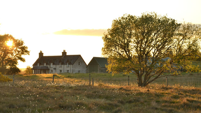
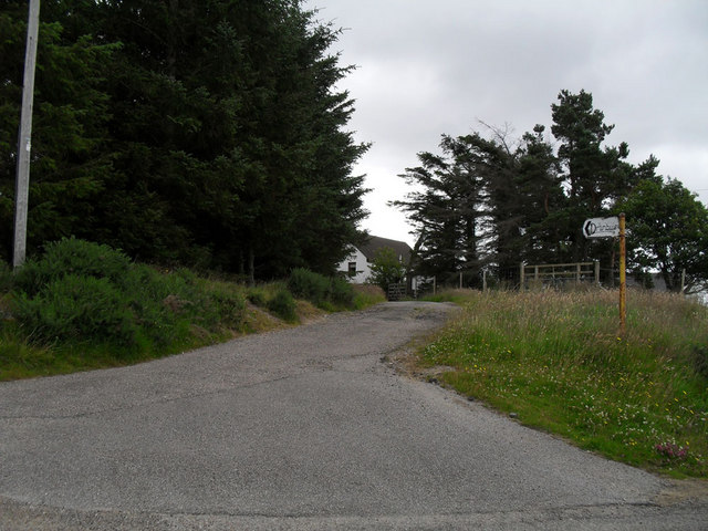
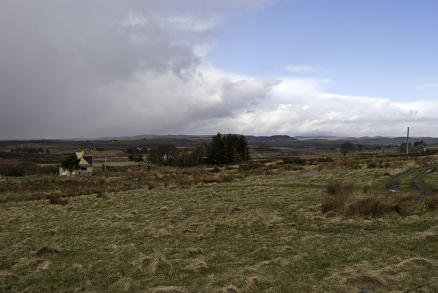
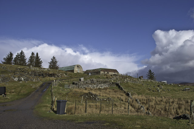
Rhilochan is a small rural community located in the Sutherland region of the Scottish Highlands. Situated amidst picturesque landscapes, Rhilochan offers residents and visitors a tranquil and scenic environment.
The village is home to a tight-knit community that prides itself on its rich history and strong sense of local identity. The traditional Gaelic culture is still evident in Rhilochan, with many residents speaking the language and participating in cultural events and festivals.
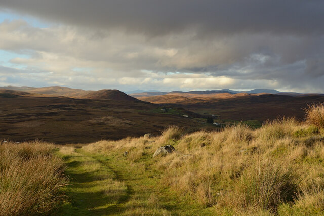
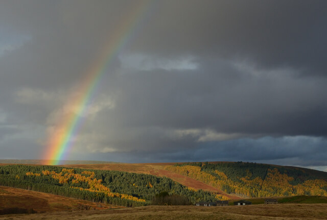
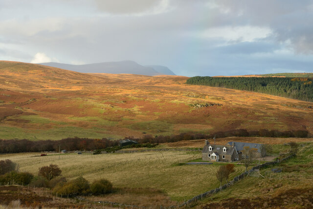
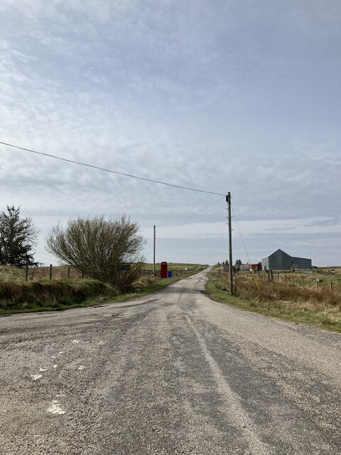
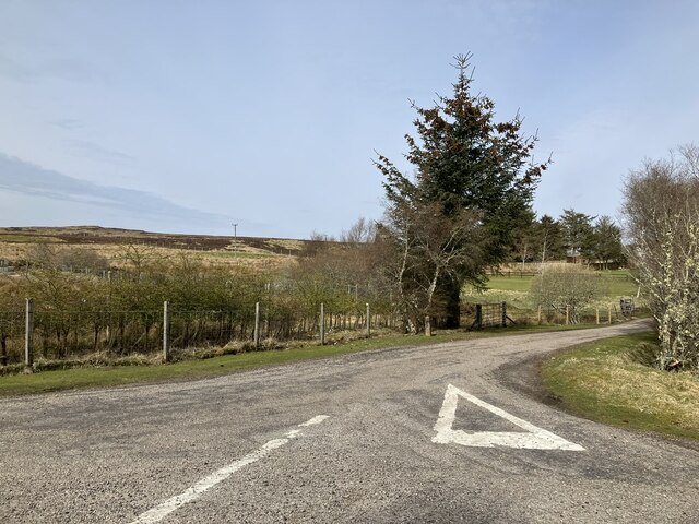
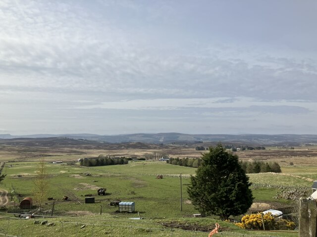
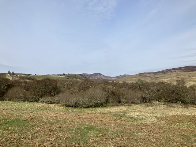
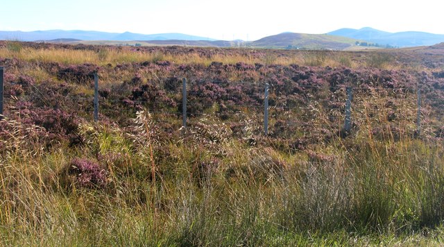
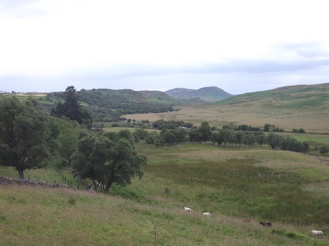
The area surrounding Rhilochan is predominantly characterized by its rugged hills, vast moorlands, and sparkling lochs. Nature enthusiasts and outdoor adventurers are drawn to the region for its breathtaking beauty and opportunities for activities such as hiking, fishing, and birdwatching. The nearby Ben Hope, the northernmost Munro in Scotland, is a popular destination for keen hikers and climbers.
Despite its rural setting, Rhilochan offers basic amenities to cater to the needs of its residents. There is a small village shop where locals can purchase essentials, and a community hall that hosts various events and gatherings.
Rhilochan is an ideal destination for those seeking tranquility and a connection with nature. Its unspoiled landscapes, rich cultural heritage, and warm community spirit make it a hidden gem within the Sutherland region of Scotland.
If you have any feedback on the listing, please let us know in the comments section below.
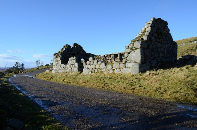
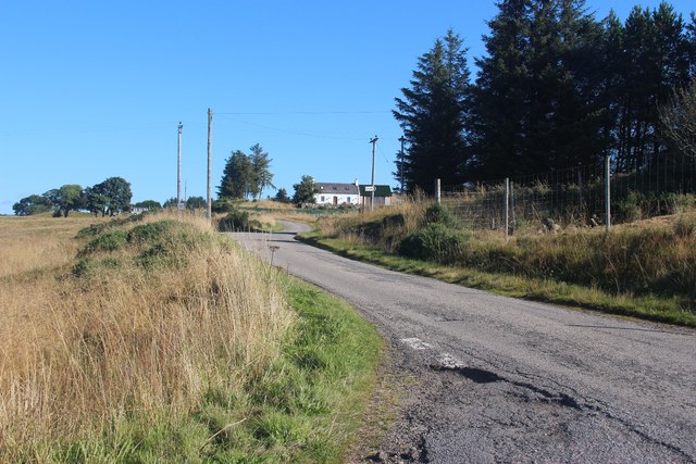
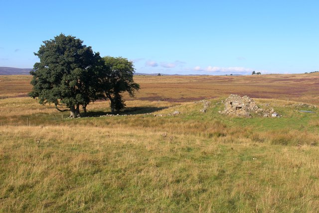
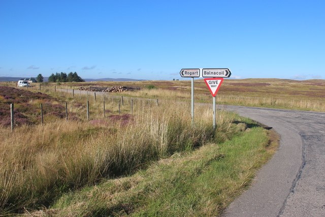
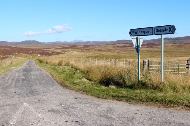
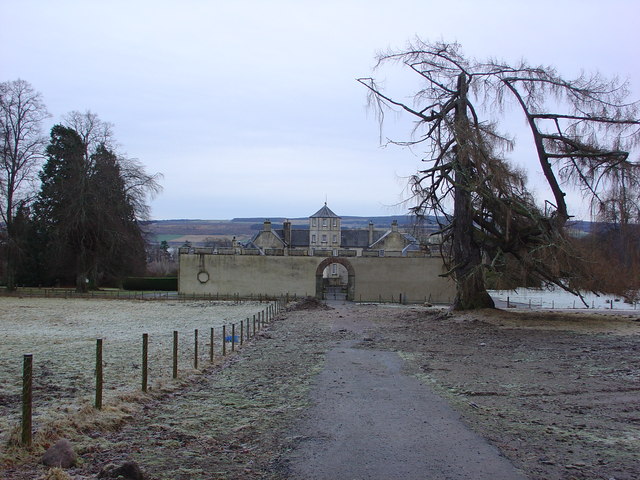
Rhilochan Images
Images are sourced within 2km of 58.032975/-4.1279586 or Grid Reference NC7406. Thanks to Geograph Open Source API. All images are credited.
Rhilochan is located at Grid Ref: NC7406 (Lat: 58.032975, Lng: -4.1279586)
Unitary Authority: Highland
Police Authority: Highlands and Islands
What 3 Words
///mingles.purse.childcare. Near Golspie, Highland
Related Wikis
Battle of Alltan-Beath
The Battle of Alltan-Beath, also known as the Battle of Ailtan-Beath, was a Scottish clan battle said to have taken place in 1542 in the village of Knockarthur...

East Langwell
East Langwell is a small, remote crofting settlement in Rogart, Sutherland, Scottish Highlands and is in the Scottish council area of Highland.West Langwell...
Dalreavoch
Dalreavoch (Scottish Gaelic: An Dail Riabhach) is a small crofting hamlet in Rogart in Sutherland, Scottish Highlands and is in the Scottish council...

Rogart
Rogart ( ROH-gart, Scottish Gaelic: Sgìre Raoird or Raoghard, meaning "great enclosed field") is a small village in Sutherland, Highland, Scotland. The...
Battle of Torran Dubh
The Battle of Torran Dubh also known as the Battle of Torran-dow or the Battle of Torran Du was a Scottish clan battle that was fought in 1517 in Sutherland...
Pittentrail
Pittentrail (Scottish Gaelic: Bad an Tràill or Baile an Tràill) is a hamlet on the A839 road, in the Rogart parish in east Sutherland, in the Scottish...

Rogart railway station
Rogart railway station is a railway station serving the villages of Rogart and Pittentrail, in the Highland council area of Scotland and home to Fraser...

West Langwell
West Langwell is a small crofting settlement in Rogart, Sutherland is in the Scottish council area of Highland within the Scottish Highlands. The village...
Nearby Amenities
Located within 500m of 58.032975,-4.1279586Have you been to Rhilochan?
Leave your review of Rhilochan below (or comments, questions and feedback).