Rhigos, Y
Settlement in Glamorgan
Wales
Rhigos, Y

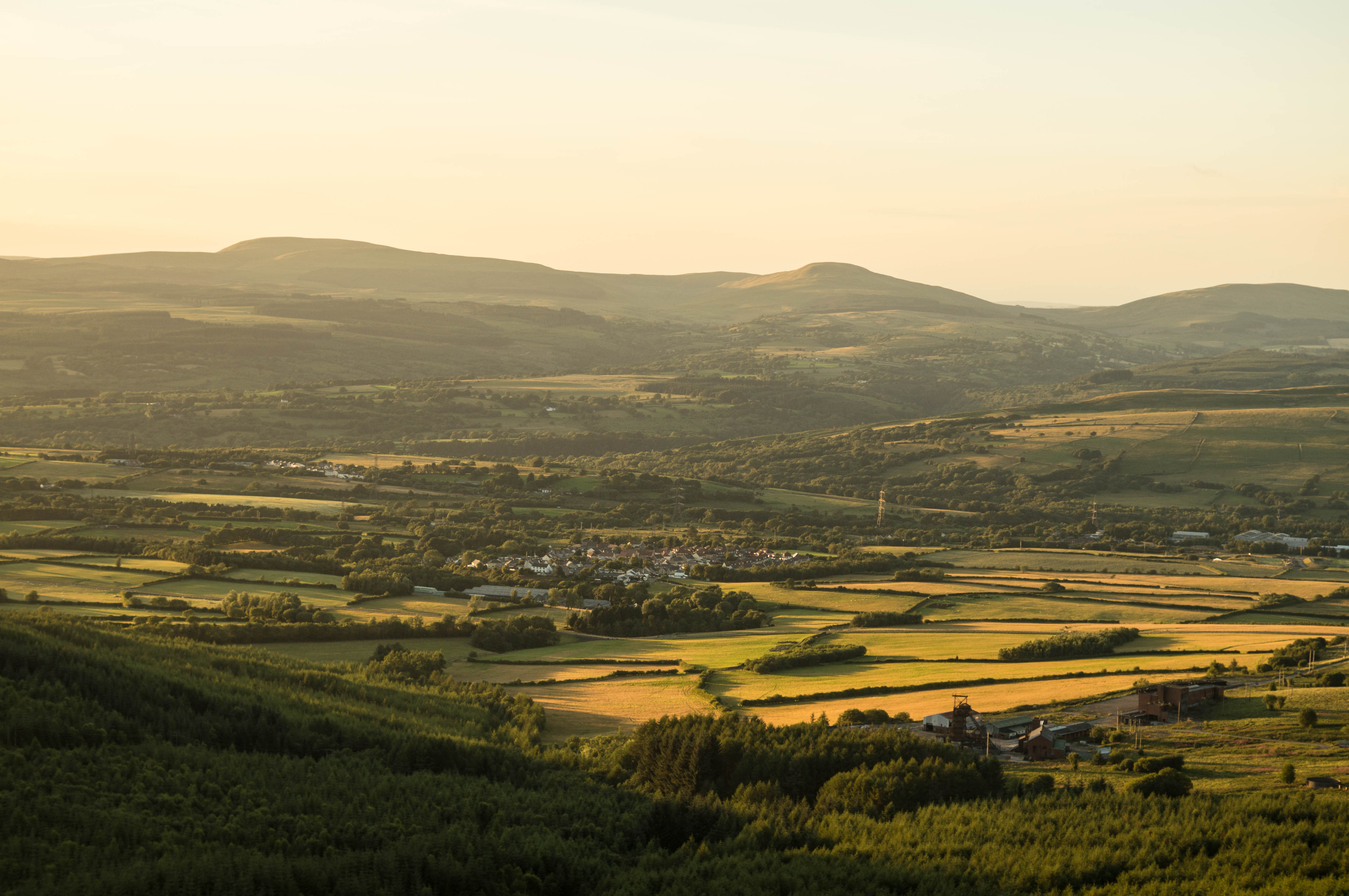
Rhigos is a small village located in the county of Glamorgan, in the southern part of Wales, United Kingdom. It is situated on the eastern edge of the Rhondda Valley, near the Brecon Beacons National Park. The village is part of the larger community of Rhigos and Hirwaun, and it falls within the Rhondda Cynon Taf local authority.
Rhigos is known for its picturesque surroundings, with rolling hills and stunning landscapes. It is a popular destination for outdoor enthusiasts, offering a range of activities such as hiking, cycling, and horse riding. The nearby Brecon Beacons provide ample opportunities for exploring the natural beauty of the area.
The village itself has a small population and a close-knit community. It is characterized by its traditional Welsh charm, with quaint stone buildings and a peaceful atmosphere. The local amenities include a primary school, a community center, and a few shops and pubs.
One of the notable landmarks in Rhigos is the Rhigos Mountain, which stands at an elevation of 600 meters and offers breathtaking views of the surrounding countryside. The mountain is also home to a wind farm, contributing to the renewable energy efforts of the area.
Overall, Rhigos is a serene and scenic village, offering a tranquil escape from the hustle and bustle of city life. Its natural beauty and welcoming community make it a desirable place to visit or reside for those seeking a peaceful retreat in the heart of Glamorgan.
If you have any feedback on the listing, please let us know in the comments section below.
Rhigos, Y Images
Images are sourced within 2km of 51.733273/-3.5653071 or Grid Reference SN9205. Thanks to Geograph Open Source API. All images are credited.


Rhigos, Y is located at Grid Ref: SN9205 (Lat: 51.733273, Lng: -3.5653071)
Unitary Authority: Rhondda Cynon Taf
Police Authority: South Wales
Also known as: Rhigos
What 3 Words
///starfish.sandwich.zinc. Near Hirwaun, Rhondda Cynon Taf
Related Wikis
Rhigos
Rhigos () is a small village on the saddle of higher ground between the Vale of Neath and the Cynon Valley. It was part of the old Neath Rural district...

Cwm-Hwnt
Cwm-Hwnt is a tiny hamlet to the west of Rhigos and south of Cefn Rhigos in the Cynon Valley, one of the South Wales Valleys. It is the farthest named...

Tower Colliery
Tower Colliery (Welsh: Glofa'r Tŵr) was the oldest continuously working deep-coal mine in the United Kingdom, and possibly the world, until its closure...
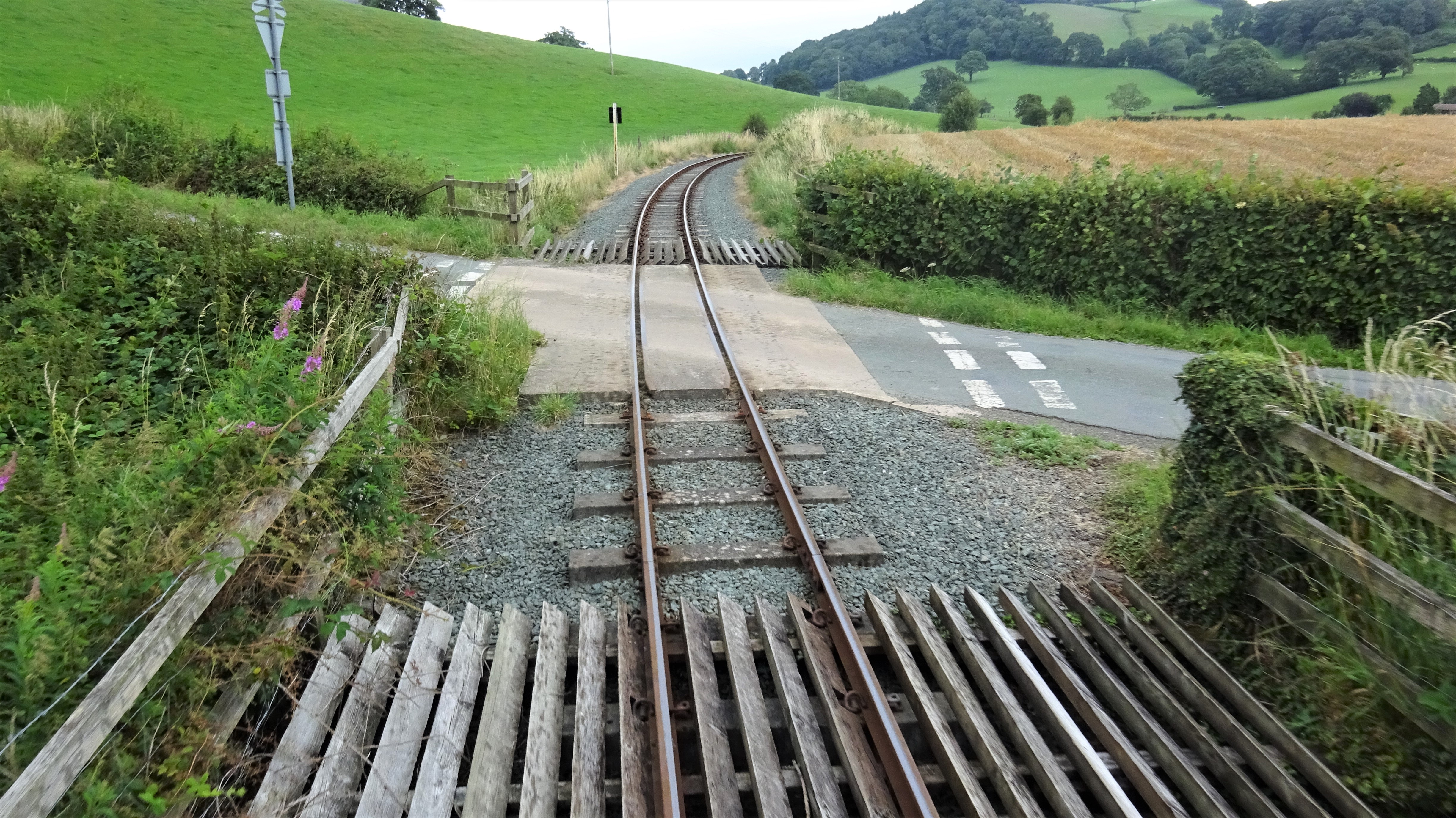
Dolarddyn Crossing railway station
Dolarddyn Crossing railway station served the village of Castle Caereinion, in the historical county of Montgomeryshire, Wales, from 1929 to 1931 on the...

Llyn Fawr
Llyn Fawr ('large lake' in Welsh) is a reservoir that occupies one of a series glacial cirques that form the northern escarpment of the South Wales Coalfield...
Cefn Rhigos
Cefn Rhigos (name meaning '(the) ridge (at) Rhigos') is a hamlet (place) to the west of the village of Rhigos, Wales. Despite being eight miles from the...
Rhigos Halt railway station
Rhigos Halt railway station served the village of Rhigos, Rhondda Cynon Taf, Wales, from 1911 to 1964 on the Vale of Neath Railway. == History == The station...

River Mellte
Afon Mellte or the River Mellte is a river in south Wales. It is formed by the confluence of the Afon Llia and the Afon Dringarth. It then flows south...
Have you been to Rhigos, Y?
Leave your review of Rhigos, Y below (or comments, questions and feedback).