Inchomnie
Settlement in Sutherland
Scotland
Inchomnie
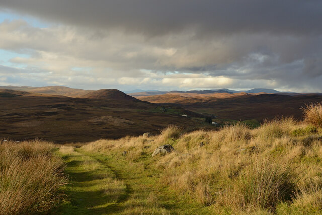
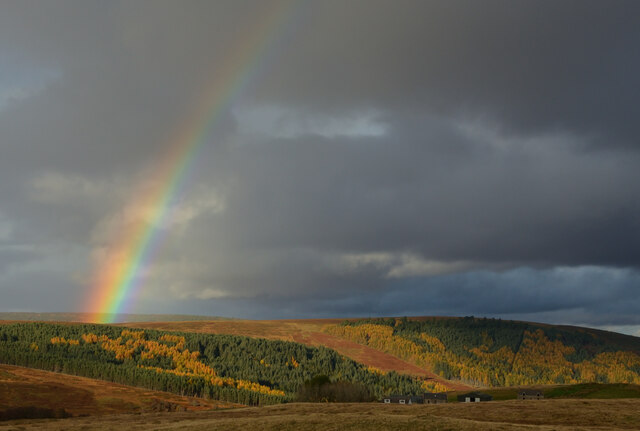
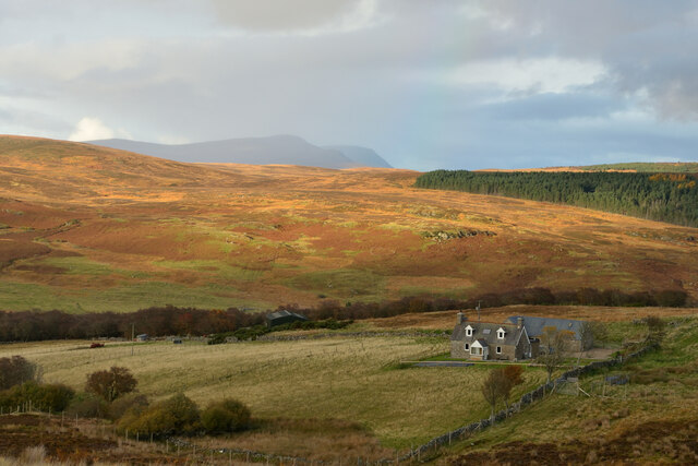
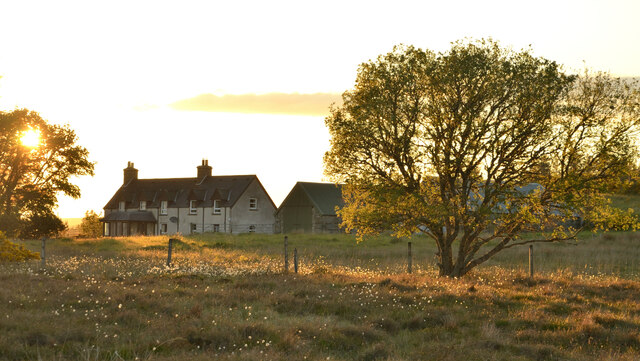
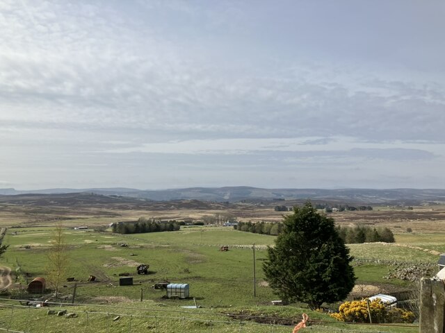
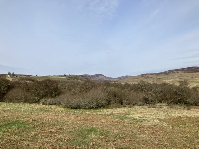
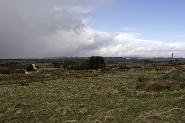
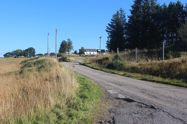
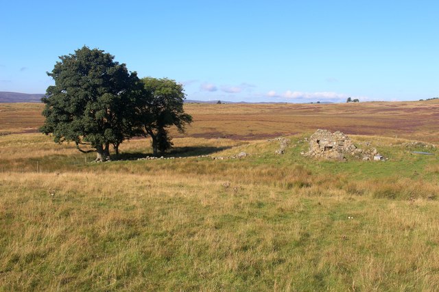
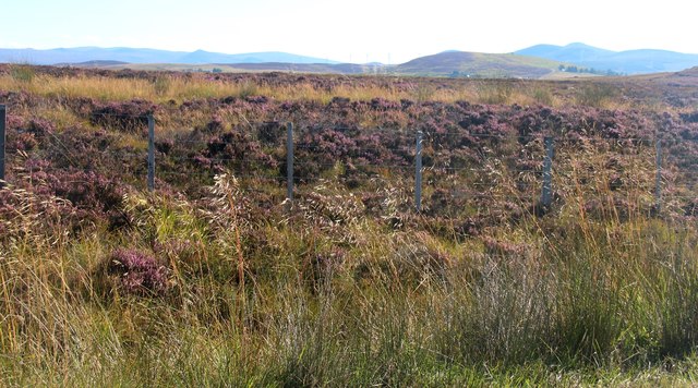
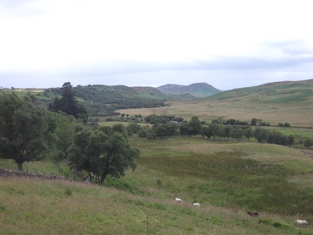
Inchomnie is a small rural hamlet located in the county of Sutherland, in the northern part of Scotland. Situated near the eastern coast, it is nestled amidst picturesque countryside and rolling hills, offering residents and visitors stunning views of the surrounding landscape.
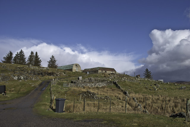
With a population of merely 50 inhabitants, Inchomnie is known for its peaceful and tranquil atmosphere. It is primarily an agricultural community, with farming being the main occupation for many residents. The fertile land and favorable climate make it ideal for growing various crops, including barley, oats, and potatoes.
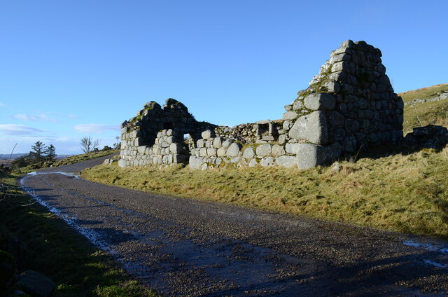
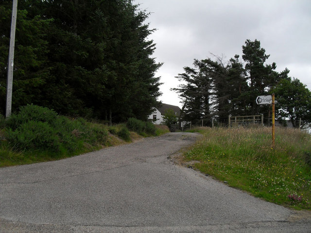
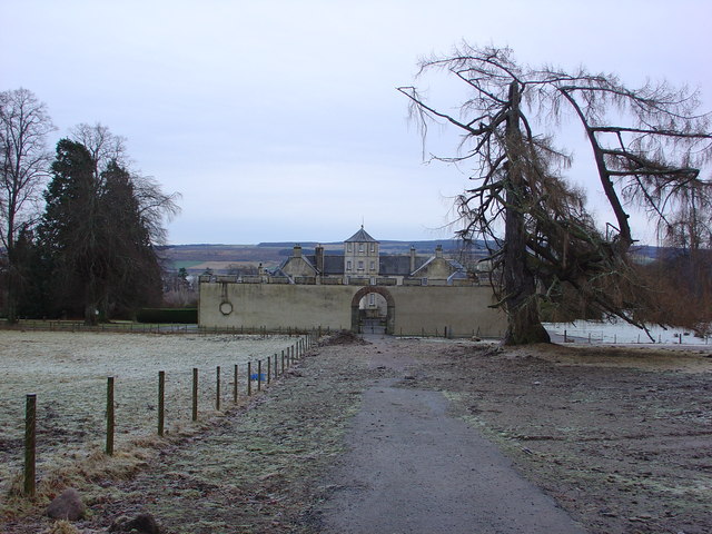
The hamlet is characterized by scattered houses and farmsteads, with a few modern buildings blending in with the traditional stone cottages that dot the landscape. The local architecture reflects the rich history of the area, with some buildings dating back several centuries, giving Inchomnie a sense of timelessness.
Despite its small size, Inchomnie has a strong sense of community, with residents often participating in local events and gatherings. The local primary school plays a central role in the community, serving as an educational hub for the surrounding area.
Inchomnie's proximity to the coast provides opportunities for fishing and outdoor activities, with nearby beaches offering scenic spots for walks and relaxation. The hamlet is also conveniently located near several nature reserves and hiking trails, attracting nature enthusiasts and tourists who appreciate the beauty of the Scottish Highlands.
Overall, Inchomnie offers a peaceful escape from the hustle and bustle of city life, allowing residents and visitors to enjoy the tranquility of the countryside in a close-knit community setting.
If you have any feedback on the listing, please let us know in the comments section below.
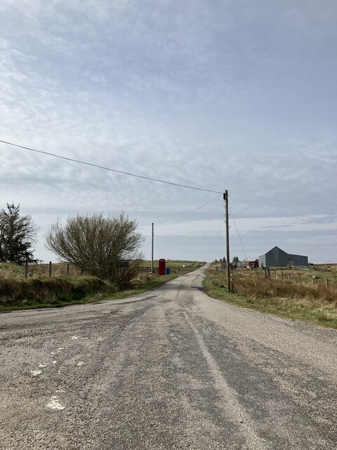
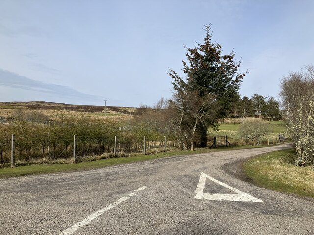
Inchomnie Images
Images are sourced within 2km of 58.032595/-4.1307816 or Grid Reference NC7406. Thanks to Geograph Open Source API. All images are credited.
Inchomnie is located at Grid Ref: NC7406 (Lat: 58.032595, Lng: -4.1307816)
Unitary Authority: Highland
Police Authority: Highlands and Islands
What 3 Words
///fussy.centrally.dignity. Near Golspie, Highland
Related Wikis
Battle of Alltan-Beath
The Battle of Alltan-Beath, also known as the Battle of Ailtan-Beath, was a Scottish clan battle said to have taken place in 1542 in the village of Knockarthur...

East Langwell
East Langwell is a small, remote crofting settlement in Rogart, Sutherland, Scottish Highlands and is in the Scottish council area of Highland.West Langwell...
Dalreavoch
Dalreavoch (Scottish Gaelic: An Dail Riabhach) is a small crofting hamlet in Rogart in Sutherland, Scottish Highlands and is in the Scottish council...

Rogart
Rogart ( ROH-gart, Scottish Gaelic: Sgìre Raoird or Raoghard, meaning "great enclosed field") is a small village in Sutherland, Highland, Scotland. The...
Battle of Torran Dubh
The Battle of Torran Dubh also known as the Battle of Torran-dow or the Battle of Torran Du was a Scottish clan battle that was fought in 1517 in Sutherland...
Pittentrail
Pittentrail (Scottish Gaelic: Bad an Tràill or Baile an Tràill) is a hamlet on the A839 road, in the Rogart parish in east Sutherland, in the Scottish...

Rogart railway station
Rogart railway station is a railway station serving the villages of Rogart and Pittentrail, in the Highland council area of Scotland and home to Fraser...

West Langwell
West Langwell is a small crofting settlement in Rogart, Sutherland is in the Scottish council area of Highland within the Scottish Highlands. The village...
Nearby Amenities
Located within 500m of 58.032595,-4.1307816Have you been to Inchomnie?
Leave your review of Inchomnie below (or comments, questions and feedback).