Black Park
Settlement in Inverness-shire
Scotland
Black Park
Black Park is a picturesque and idyllic location situated in Inverness-shire, Scotland. Nestled amidst the stunning Scottish Highlands, this tranquil park offers visitors a serene escape from the hustle and bustle of city life.
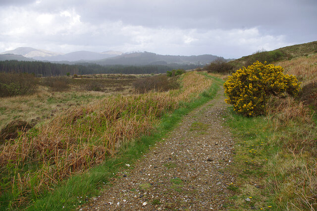
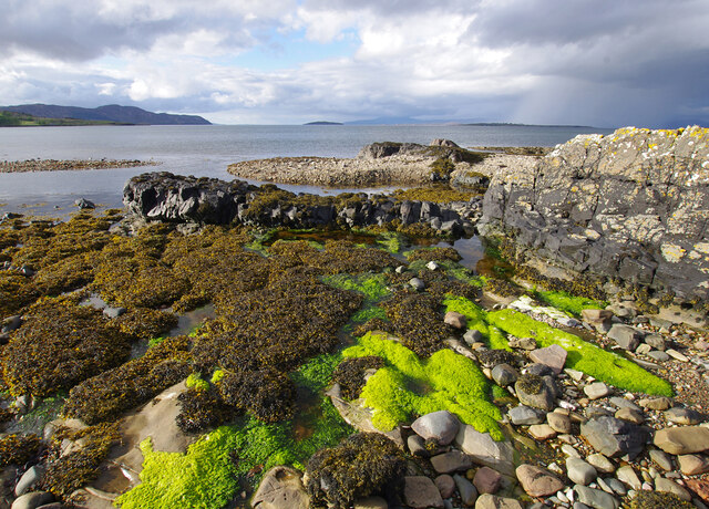
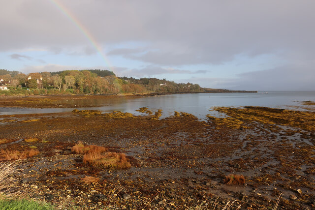
Covering an expansive area of lush greenery and ancient woodland, Black Park is a nature lover's paradise. The park is home to a diverse range of flora and fauna, including towering pine trees, vibrant wildflowers, and various species of birds and mammals. The tranquil atmosphere and stunning natural beauty make it an ideal spot for leisurely walks, picnics, and wildlife spotting.
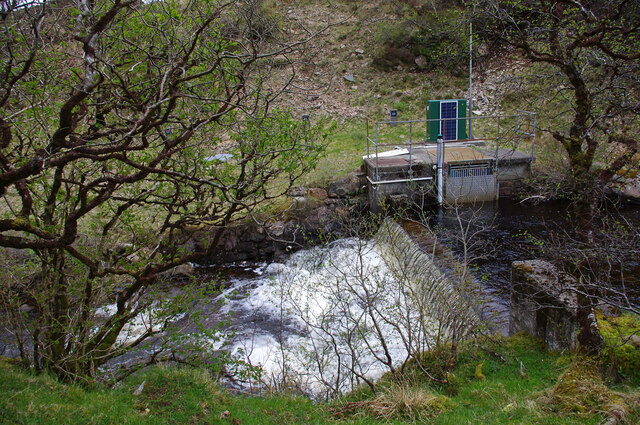
One of the main features of Black Park is its pristine loch, which provides a picturesque backdrop for the park's visitors. The tranquil waters are perfect for boating and fishing, and those seeking a more adventurous experience can try their hand at kayaking or paddleboarding.
Additionally, Black Park offers a range of amenities to enhance visitors' experience. There are well-maintained walking trails that wind through the park, allowing visitors to explore its natural wonders at their own pace. The park also features picnic areas with benches and tables, making it an excellent spot for a family outing or a peaceful lunch in nature.
Overall, Black Park is a haven of tranquility and natural beauty. Whether you are seeking a peaceful retreat, a chance to immerse yourself in nature, or simply a break from the everyday, this hidden gem in Inverness-shire is sure to leave a lasting impression.
If you have any feedback on the listing, please let us know in the comments section below.
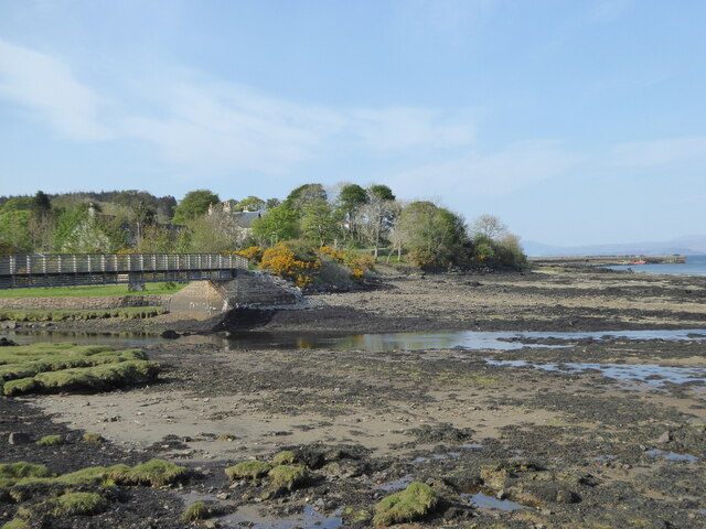
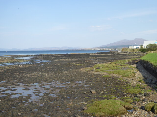
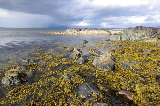
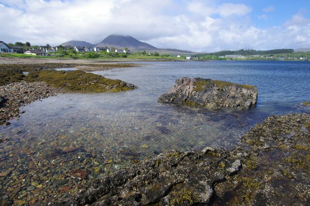
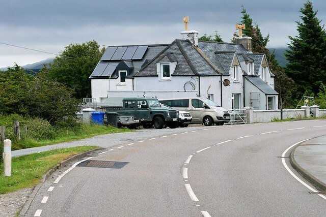
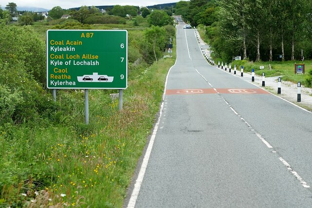
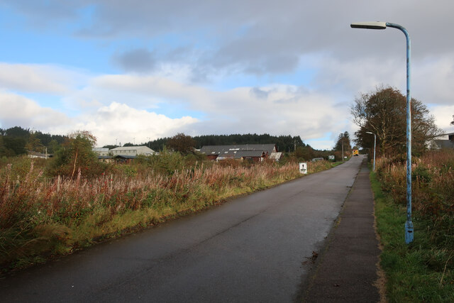
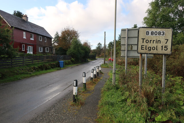
Black Park Images
Images are sourced within 2km of 57.238/-5.9007643 or Grid Reference NG6423. Thanks to Geograph Open Source API. All images are credited.
Black Park is located at Grid Ref: NG6423 (Lat: 57.238, Lng: -5.9007643)
Unitary Authority: Highland
Police Authority: Highlands and Islands
Also known as: A' Phairce Dhubh
What 3 Words
///saying.joys.atlas. Near Broadford, Highland
Nearby Locations
Related Wikis

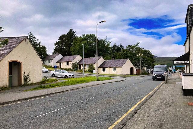
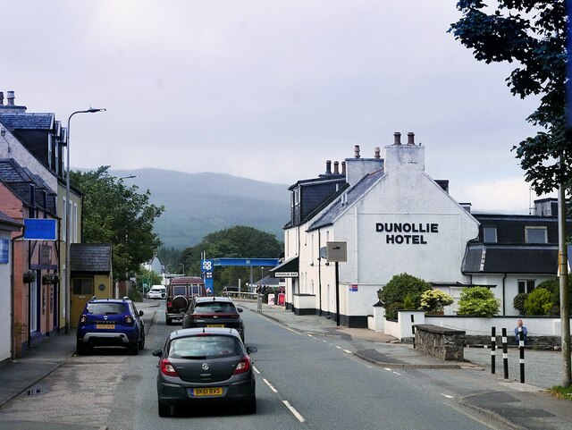
Broadford, Skye
Broadford (Scottish Gaelic: An t-Àth Leathann [ən̪ˠ t̪aːh ˈʎɛhən̪ˠ]), together with nearby Harrapool, is the second-largest settlement on the Isle of Skye...

Broadford Parish Church
Broadford Parish Church, Skye is a parish church in the Church of Scotland in Broadford, Skye. == History == The church was built between 1839 and 1841...

Harrapool
Harrapool (Scottish Gaelic: Harrapul) is a village, that lies on the right hand side of Broadford Bay, in Isle of Skye, Scottish Highlands and is in the...

Mackinnon Memorial Hospital
The former Mackinnon Memorial Hospital building is now vacant; it sits adjacent to the new Broadford Hospital, all services having moved into this new...

Corriechatachan
Corriechatachan (Gaelic for “Corrie of the wild cats”) is a farmstead (now ruined), lying at the foot of Beinn na Caillich, near Broadford, on the Isle...

Skye and Lochalsh
Skye and Lochalsh (Scottish Gaelic: 'An t-Eilean Sgitheanach agus Loch Aillse') is one of eight former local government districts of the two-tier Highland...

Skye Marble Railway
The Skye Marble Railway was a 3 ft (914 mm) narrow gauge industrial railway on the Isle of Skye, Scotland which operated from 1910 to 1912. Marble was...

Lower Breakish
Lower Breakish (Scottish Gaelic: Breacais Ìosal) is a village on the Isle of Skye in Scotland. == Gallery... ==
Nearby Amenities
Located within 500m of 57.238,-5.9007643Have you been to Black Park?
Leave your review of Black Park below (or comments, questions and feedback).