Limepark

Settlement in Inverness-shire

Scotland

Limepark

Footbridge across Broadford River
Footbridge across Broadford River Credit: Rod Allday

Limepark is a small village located in the county of Inverness-shire in the Scottish Highlands. Situated amidst stunning natural scenery, Limepark is known for its picturesque landscapes, rolling hills, and tranquil atmosphere. The village is home to a tight-knit community of residents who take pride in their surroundings and enjoy a peaceful way of life.

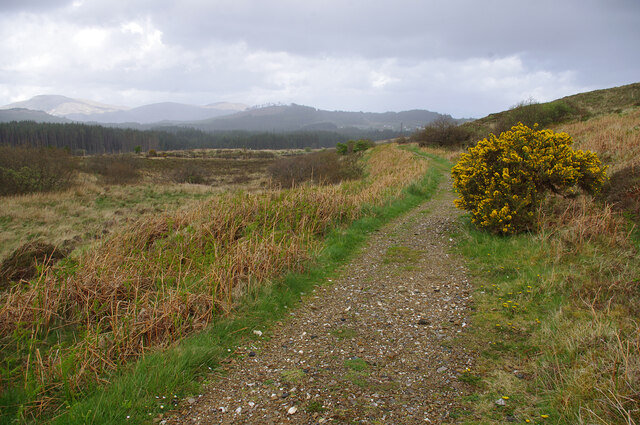
Limepark is surrounded by lush greenery, with forests and meadows stretching as far as the eye can see. The village is a popular destination for outdoor enthusiasts, offering a variety of hiking trails, cycling routes, and fishing spots in the nearby rivers and lochs.

The architecture in Limepark is traditional and charming, with stone cottages and farmhouses dotting the countryside. The village also has a quaint local pub, where residents and visitors alike can gather for a pint and a chat.

Overall, Limepark is a hidden gem in the Scottish Highlands, offering a peaceful retreat from the hustle and bustle of city life and a chance to reconnect with nature in a beautiful and serene setting.

If you have any feedback on the listing, please let us know in the comments section below.
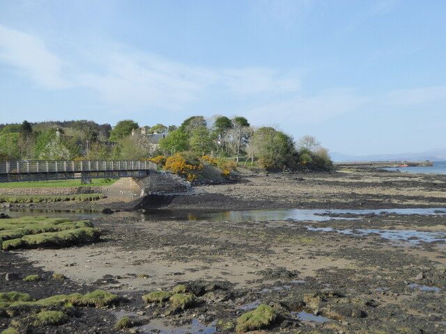
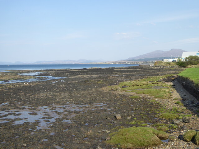
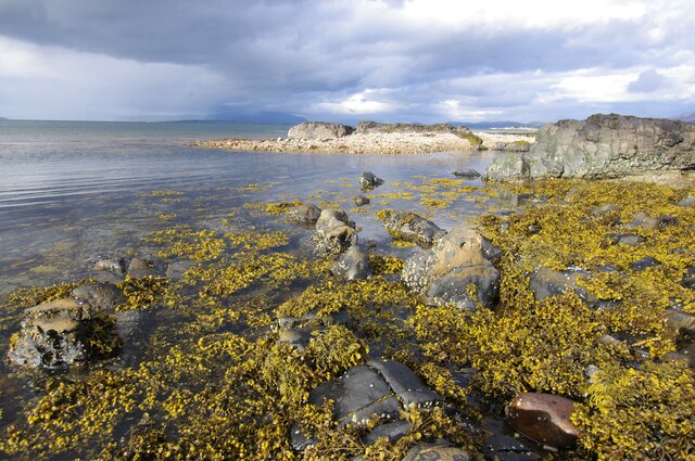
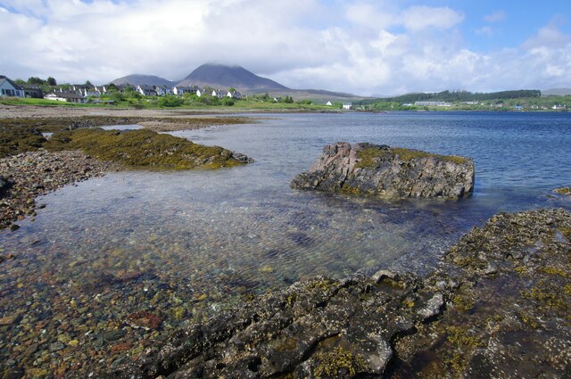
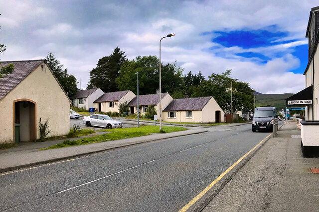
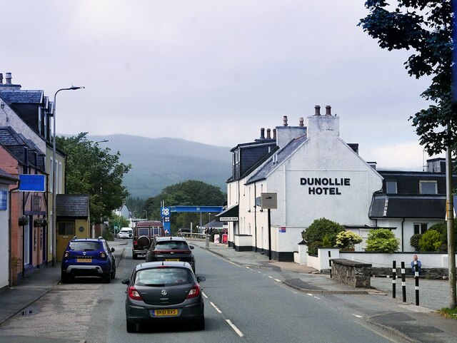
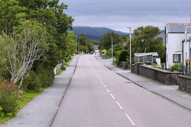
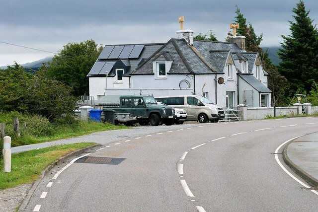
Limepark Images

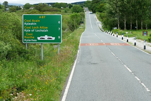
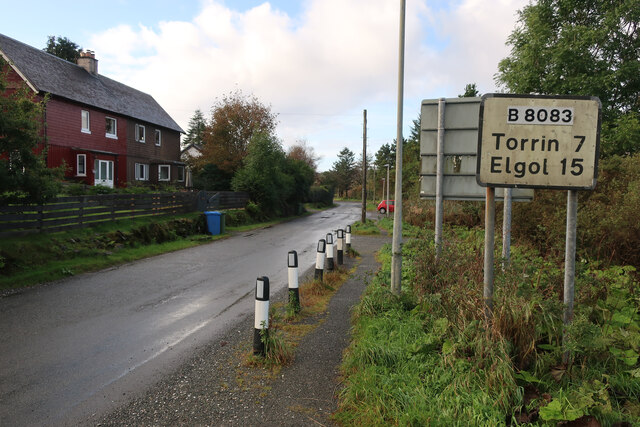
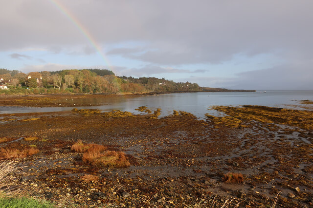
Images are sourced within 2km of 57.238739/-5.8992836 or Grid Reference NG6423. Thanks to Geograph Open Source API. All images are credited.

Footbridge across Broadford River
Foreshore on the Broadford River
The A87 westbound between Breakish and Broadford
Foreshore, Broadford Bay
Foreshore, Broadford Bay Beinn na Caillich (centre) and Beinn Dearg Bheag (left) are in the background.
Foreshore, Broadford Bay
Beinn na Caillich (centre) and Beinn Dearg Bheag (left) are in the background.
Marble line, Broadford This path follows the route of the railway from the marble quarries at Torrin to the quay at Broadford. This view is looking north on the approach to Broadford. The wooded hill in the centre background is Cnoc na Cachaille. The hills of Scalpay are beyond.
Marble line, Broadford
This path follows the route of the railway from the marble quarries at Torrin to the quay at Broadford. This view is looking north on the approach to Broadford. The wooded hill in the centre background is Cnoc na Cachaille. The hills of Scalpay are beyond.
Cable bridge, Allt a' Mhuilinn
Road bridge, Broadford Carries the A87 over the Allt a' Mhuilinn. Looking upstream. <a href="https://www.geograph.org.uk/photo/1113446">NG6423 : Allt a' Mhuillin</a> shows a downstream view.
Road bridge, Broadford
Carries the A87 over the Allt a' Mhuilinn. Looking upstream. NG6423 : Allt a' Mhuillin shows a downstream view.
Foreshore, Broadford Bay
Broadford, Isle of Skye Broadford, together with nearby Harrapool, is the second-largest settlement on the Isle of Skye.
Broadford, Isle of Skye
Broadford, together with nearby Harrapool, is the second-largest settlement on the Isle of Skye.
Isle of Skye, Broadford Broadford, together with nearby Harrapool, is the second-largest settlement on the Isle of Skye.
Isle of Skye, Broadford
Broadford, together with nearby Harrapool, is the second-largest settlement on the Isle of Skye.
A87, Harrapool The A87 is a primary route  in the Highland region of Scotland. It runs west for 99 miles from its junction with the A82 at Invergarry, along the north shores of Loch Garry and Loch Cluanie, then through Glen Shiel and along Loch Duich to Kyle of Lochalsh before crossing the Skye Bridge to Kyleakin, Broadford, and Portree, before terminating at Uig in the north of the Isle of Skye.
A87, Harrapool
The A87 is a primary route in the Highland region of Scotland. It runs west for 99 miles from its junction with the A82 at Invergarry, along the north shores of Loch Garry and Loch Cluanie, then through Glen Shiel and along Loch Duich to Kyle of Lochalsh before crossing the Skye Bridge to Kyleakin, Broadford, and Portree, before terminating at Uig in the north of the Isle of Skye.
Large House on a Bend in the A87 The A87 is a primary route  in the Highland region of Scotland. It runs west for 99 miles from its junction with the A82 at Invergarry, along the north shores of Loch Garry and Loch Cluanie, then through Glen Shiel and along Loch Duich to Kyle of Lochalsh before crossing the Skye Bridge to Kyleakin, Broadford, and Portree, before terminating at Uig in the north of the Isle of Skye.
Large House on a Bend in the A87
The A87 is a primary route in the Highland region of Scotland. It runs west for 99 miles from its junction with the A82 at Invergarry, along the north shores of Loch Garry and Loch Cluanie, then through Glen Shiel and along Loch Duich to Kyle of Lochalsh before crossing the Skye Bridge to Kyleakin, Broadford, and Portree, before terminating at Uig in the north of the Isle of Skye.
A87 Broadford to Kyleakin Road The A87 is a primary route  in the Highland region of Scotland. It runs west for 99 miles from its junction with the A82 at Invergarry, along the north shores of Loch Garry and Loch Cluanie, then through Glen Shiel and along Loch Duich to Kyle of Lochalsh before crossing the Skye Bridge to Kyleakin, Broadford, and Portree, before terminating at Uig in the north of the Isle of Skye.
A87 Broadford to Kyleakin Road
The A87 is a primary route in the Highland region of Scotland. It runs west for 99 miles from its junction with the A82 at Invergarry, along the north shores of Loch Garry and Loch Cluanie, then through Glen Shiel and along Loch Duich to Kyle of Lochalsh before crossing the Skye Bridge to Kyleakin, Broadford, and Portree, before terminating at Uig in the north of the Isle of Skye.
High Road, Broadford
B8083 out of Broadford
Rainbow at Broadford Good views of an otter from the car park.
Rainbow at Broadford
Good views of an otter from the car park.
Electric car charging at Broadford, Skye With the large petrol station beyond.
Electric car charging at Broadford, Skye
With the large petrol station beyond.
Show me another place!

Limepark is located at Grid Ref: NG6423 (Lat: 57.238739, Lng: -5.8992836)

Unitary Authority: Highland

Police Authority: Highlands and Islands

Also known as: Pairc an Aoil

What 3 Words

///rejoins.generally.boring. Near Broadford, Highland

Related Wikis

Broadford, Skye

Broadford (Scottish Gaelic: An t-Àth Leathann [ən̪ˠ t̪aːh ˈʎɛhən̪ˠ]), together with nearby Harrapool, is the second-largest settlement on the Isle of Skye...

Broadford Parish Church

Broadford Parish Church, Skye is a parish church in the Church of Scotland in Broadford, Skye. == History == The church was built between 1839 and 1841...

Harrapool

Harrapool (Scottish Gaelic: Harrapul) is a village, that lies on the right hand side of Broadford Bay, in Isle of Skye, Scottish Highlands and is in the...

Mackinnon Memorial Hospital

The former Mackinnon Memorial Hospital building is now vacant; it sits adjacent to the new Broadford Hospital, all services having moved into this new...

Nearby Amenities

Located within 500m of 57.238739,-5.8992836
Broadford
Name En: Broadford
Name Gd: An t-Àth Leathann
Name Non: Breiðafjorðr
Name Sco: Braidfuird
Place: village
Population: 1150
Wikidata: Q922593
Wikipedia: en:Broadford, Skye
Lat/Long: 57.2410146/-5.9061803
Post Box
Collection Times: Mo-Sa 14:00
Post Box Type: wall
Ref: IV49 32
Royal Cypher: GVIR
Royal Cypher Wikidata: Q33102169
Source: survey
Lat/Long: 57.2381175/-5.8944241
Parking
Access: private
Parking: surface
Lat/Long: 57.2408141/-5.9059725
Turning Circle
Lat/Long: 57.2354025/-5.9019378
Turning Circle
Lat/Long: 57.2385565/-5.9003703
Cafe
Deli Gasta
Addr City: Isle of Skye
Addr Housename: The Old Mill
Email: deligasta@outlook.com
Opening Hours: Mo-Su 09:00-17:00
Phone: +441471822646
Website: https://www.deligasta.co.uk/
Wheelchair: limited
Lat/Long: 57.2385677/-5.8987707
Barrier: bollard
Source: survey
Lat/Long: 57.2381157/-5.895926
Post Box
Brand: Royal Mail
Brand Wikidata: Q638098
Collection Times: Mo-Fr 14:00
Operator: Royal Mail
Operator Wikidata: Q638098
Post Box Type: lamp
Ref: IV49 33
Royal Cypher: scottish_crown
Source: survey
Lat/Long: 57.2394679/-5.9003615
Telephone
Booth: K6
Covered: booth
Phone: +44 1471 822216
Source: survey
Lat/Long: 57.2394743/-5.9004055
Bus Stop
Crowlin Bar
Naptan AtcoCode: 670030025
Naptan Bearing: W
Naptan CommonName: Crowlin Bar
Naptan Indicator: opp
Naptan Landmark: Crowlin Bar
Naptan NaptanCode: 45326464
Naptan Street: A87
Naptan Verified: no
Source: naptan_import
Lat/Long: 57.2408986/-5.9059912
Bus Stop
Old Mill Road End
Bench: yes
Bin: no
Lit: yes
Local Ref: AT
Naptan AtcoCode: 670030026
Naptan Bearing: W
Naptan CommonName: Old Mill Road End
Naptan Indicator: at
Naptan Landmark: Bus Shelter
Naptan NaptanCode: 45326465
Naptan Street: A87
Naptan Verified: no
Shelter: yes
Source: naptan_import
Tactile Paving: no
Lat/Long: 57.2385674/-5.8971043
Bus Stop
Caberfeidh Bar
Direction: SE
Long Name: Broadford, o/s Caberfeidh Bar
Naptan AtcoCode: 670030027
Naptan Bearing: E
Naptan CommonName: Caberfeidh Bar
Naptan Indicator: o/s
Naptan Landmark: Caberfeidh Bar
Naptan NaptanCode: 45326467
Naptan Street: A87
Naptan Verified: no
Source: naptan_import
Lat/Long: 57.2384122/-5.8963565
Bus Stop
Primary School
Naptan AtcoCode: 6700713463
Naptan Bearing: E
Naptan CommonName: Primary School
Naptan Indicator: o/s
Naptan Landmark: Broadford Primary School
Naptan NaptanCode: 45328749
Naptan Street: Limepark Terrace
Naptan Verified: no
Source: naptan_import
Lat/Long: 57.2398816/-5.9021351
Broadford War Memorial
Historic: memorial
Memorial: war_memorial
Source: survey
Wikidata: Q114169401
Lat/Long: 57.2400576/-5.9018555
Fire Station
Source: survey
Lat/Long: 57.2389033/-5.8943294
Turning Circle
Lat/Long: 57.2368108/-5.9018711
Hotel Dunollie
Addr City: Broadford
Addr Country: GB
Addr Postcode: IV49 9AE
Contact Phone: +44 1471 822 253
Tourism: hotel
Website: https://bespokehotels.com/dunolliehotel
Lat/Long: 57.241021/-5.9054887
Bar
Crowlin Bar
Lat/Long: 57.2410423/-5.9057302
Restaurant
Claymore Restaurant
Lat/Long: 57.2382383/-5.8948221
Parking
Access: customers
Fee: no
Parking: surface
Surface: gravel
Lat/Long: 57.2414124/-5.9051272
Power: pole
Lat/Long: 57.2353573/-5.8939522
Material: wood
Power: pole
Lat/Long: 57.2354194/-5.8949929
Material: wood
Power: pole
Lat/Long: 57.235463/-5.8955445
Material: wood
Power: pole
Lat/Long: 57.2360502/-5.8948037
Material: wood
Power: pole
Lat/Long: 57.2366493/-5.8946306
Material: wood
Power: pole
Lat/Long: 57.2372354/-5.8944736
Material: wood
Power: pole
Lat/Long: 57.2376232/-5.8943568
Give Way
Direction: forward
Lat/Long: 57.2384032/-5.8984674
An t-Àth Leathann - Broadford
Traffic Sign: city_limit
Traffic Sign Direction: backward
Lat/Long: 57.2392725/-5.8987338
Harrapul - Harrapool
Traffic Sign: city_limit
Traffic Sign Direction: forward
Lat/Long: 57.2389154/-5.8978723
Shop: hairdresser
Lat/Long: 57.2410726/-5.9040084
Restaurant
The Harbour Restaurant - El Puerto
Cuisine: spanish
Lat/Long: 57.2408009/-5.9051778
Carrick Bed and Breakfast
Contact Email: CarrickSkye@aol.com
Contact Phone: +44 1471 822 794
Tourism: guest_house
Website: http://www.lochalsh.net/carrick/index.html
Lat/Long: 57.2374671/-5.9011623
The data included in this document is from www.openstreetmap.org. The data is made available under ODbL.

Have you been to Limepark?

Leave your review of Limepark below (or comments, questions and feedback).