Redbridge
Settlement in Hampshire
England
Redbridge

Redbridge is a small village located in the county of Hampshire, England. It is situated on the western bank of the River Test, just south of the city of Southampton. The village falls within the Test Valley district and is surrounded by picturesque countryside.
Redbridge is known for its historic charm and idyllic setting. It has a population of around 2,500 residents and offers a peaceful and rural lifestyle. The village is well-connected, with good transportation links to nearby towns and cities.
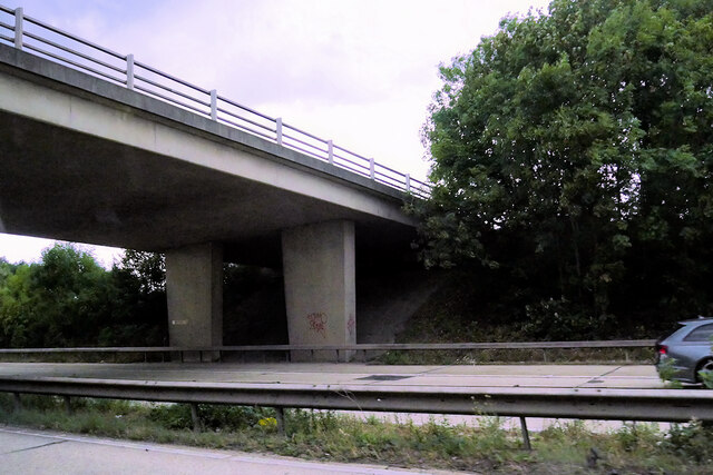
One of the notable landmarks in Redbridge is the Redbridge Causeway, a historic bridge that spans the River Test. Built in the 18th century, it is an important crossing point and a popular spot for fishing and leisure activities.
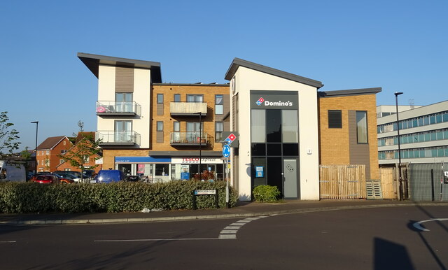
The village has a range of amenities to cater to the needs of its residents. There are several local shops, including a convenience store and a post office. Redbridge also has a primary school and a community center, which hosts various events and activities throughout the year.
For those who enjoy outdoor pursuits, Redbridge offers ample opportunities for walking, cycling, and exploring the surrounding countryside. The River Test is renowned for its excellent fishing spots, attracting anglers from far and wide. The village is also close to the New Forest National Park, providing further options for outdoor adventures.
In conclusion, Redbridge is a charming village in Hampshire, offering a peaceful and rural lifestyle. With its historic bridge, beautiful countryside, and range of amenities, it is a delightful place to live or visit.
If you have any feedback on the listing, please let us know in the comments section below.
Redbridge Images
Images are sourced within 2km of 50.921647/-1.464259 or Grid Reference SU3713. Thanks to Geograph Open Source API. All images are credited.


Redbridge is located at Grid Ref: SU3713 (Lat: 50.921647, Lng: -1.464259)
Unitary Authority: Southampton
Police Authority: Hampshire
What 3 Words
///shapes.train.reduce. Near Totton, Hampshire
Nearby Locations
Related Wikis

Redbridge Community School
Redbridge Community School is a mixed secondary school in west Southampton, Hampshire, in the south of England. The school previously held specialist school...

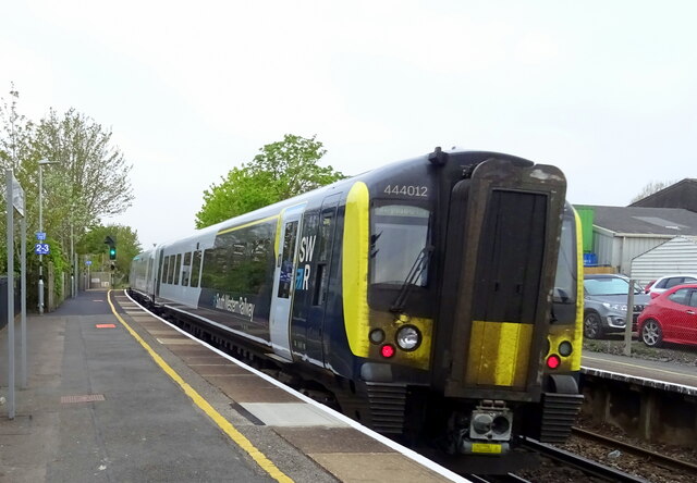
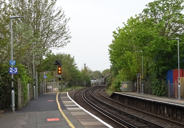
Redbridge railway station
Redbridge railway station is a small station in the Redbridge area of Southampton, England. The station is located at the junction of the Wessex Main Line...

Redbridge, Southampton
Redbridge is a ward with a population of 14,432, 3.1 miles (5.0 km) to the west of the city centre of Southampton, England. The settlement is positioned...
Solent University F.C.
Solent University Football Club was a football club attached to Solent University, based in Southampton, Hampshire. The club was affiliated to the Hampshire...
Nearby Amenities
Located within 500m of 50.921647,-1.464259Have you been to Redbridge?
Leave your review of Redbridge below (or comments, questions and feedback).