Redbridge Channel
Sea, Estuary, Creek in Hampshire New Forest
England
Redbridge Channel
Redbridge Channel is a prominent waterway located in Hampshire, England. It is a unique and picturesque area that encompasses various natural features, including a sea, an estuary, and a creek. The channel serves as a vital link between the River Test, the Solent, and the Southampton Water.
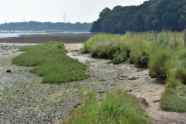
The Redbridge Channel is primarily an estuary, formed by the River Test as it flows into the Solent. The estuary is characterized by its vast expanse of salt marshes, mudflats, and reed beds, which provide essential habitats for a diverse range of wildlife. The area is home to a rich array of bird species, including waders, waterfowl, and migratory birds.
At its mouth, the Redbridge Channel connects with the Solent, a strait that separates the Isle of Wight from the mainland. The Solent is known for its strong tidal currents and is a popular destination for water sports enthusiasts, such as sailing and windsurfing.
In addition to its estuarine and marine features, the Redbridge Channel also includes a creek. This smaller watercourse branches off from the main channel and meanders through the surrounding countryside. The creek provides a tranquil and scenic environment, attracting visitors who enjoy activities such as kayaking, fishing, and nature walks.
Overall, Redbridge Channel offers a diverse and captivating landscape, encompassing a sea, an estuary, and a creek. Its combination of natural beauty, abundant wildlife, and recreational opportunities make it a popular destination for both locals and tourists seeking to explore Hampshire's coastal and riverine ecosystems.
If you have any feedback on the listing, please let us know in the comments section below.
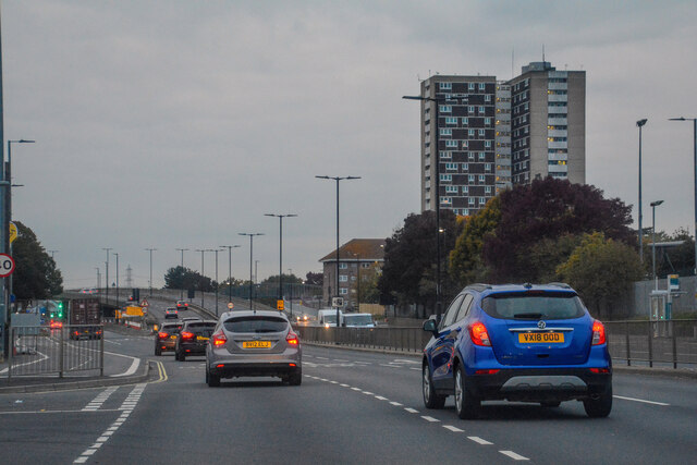
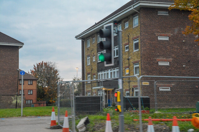
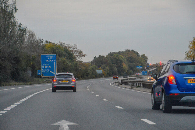
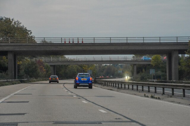
Redbridge Channel Images
Images are sourced within 2km of 50.917302/-1.4718826 or Grid Reference SU3713. Thanks to Geograph Open Source API. All images are credited.


Redbridge Channel is located at Grid Ref: SU3713 (Lat: 50.917302, Lng: -1.4718826)
Administrative County: Hampshire
District: New Forest
Police Authority: Hampshire
What 3 Words
///party.cute.monkey. Near Totton, Hampshire
Nearby Locations
Related Wikis

Redbridge, Southampton
Redbridge is a ward with a population of 14,432, 3.1 miles (5.0 km) to the west of the city centre of Southampton, England. The settlement is positioned...

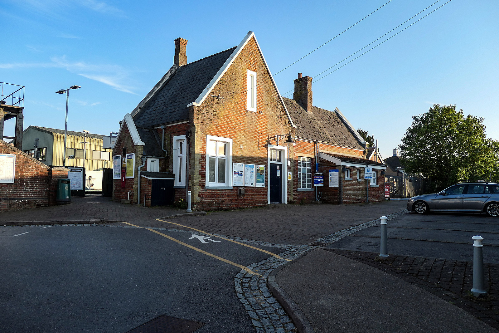
Redbridge railway station
Redbridge railway station is a small station in the Redbridge area of Southampton, England. The station is located at the junction of the Wessex Main Line...

Redbridge Community School
Redbridge Community School is a mixed secondary school in west Southampton, Hampshire, in the south of England. The school previously held specialist school...
Totton railway station
Totton railway station serves the towns of Totton & Eling, Hampshire, England and is on the South West Main Line. It is 82 miles 43 chains (132.8 km) down...

Bartley Water
Bartley Water is a two-branch small river in the New Forest district of Hampshire, England. It drains the north and north-east of the New Forest National...

Eling and Bury Marshes
Eling and Bury Marshes is a 112.3-hectare (277-acre) biological Site of Special Scientific Interest between Totton and Southampton in Hampshire. It is...

Eling Tide Mill
Eling Tide Mill, situated on an artificial causeway in Eling in Hampshire, England, is one of only two remaining operating tide mills in the United Kingdom...

River Test
The River Test is a chalk stream in Hampshire in the south of England. It rises at Ashe near Basingstoke and flows southwards for 40 miles (64 km) to Southampton...
Nearby Amenities
Located within 500m of 50.917302,-1.4718826Have you been to Redbridge Channel?
Leave your review of Redbridge Channel below (or comments, questions and feedback).