Ramsey Mereside
Settlement in Huntingdonshire Huntingdonshire
England
Ramsey Mereside
The requested URL returned error: 429 Too Many Requests
If you have any feedback on the listing, please let us know in the comments section below.
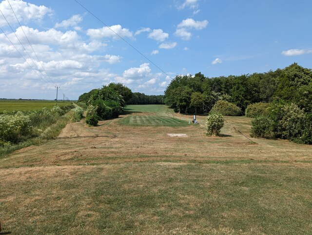
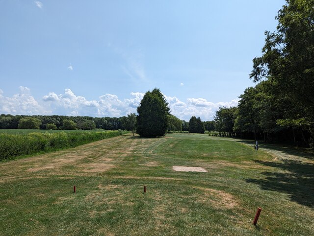
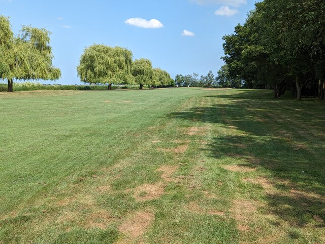
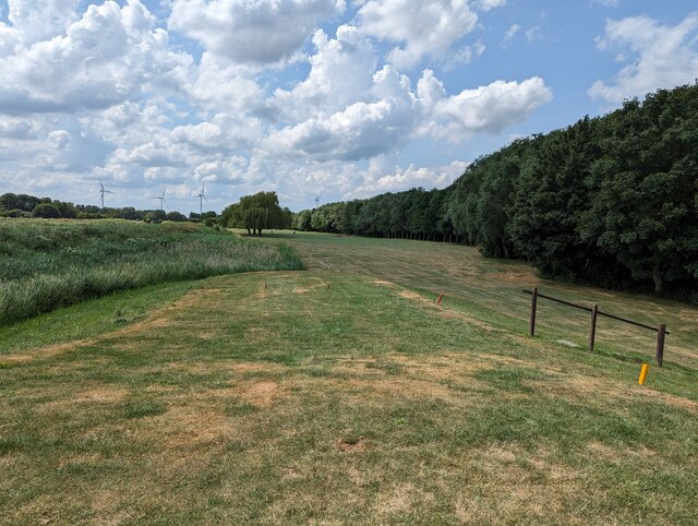
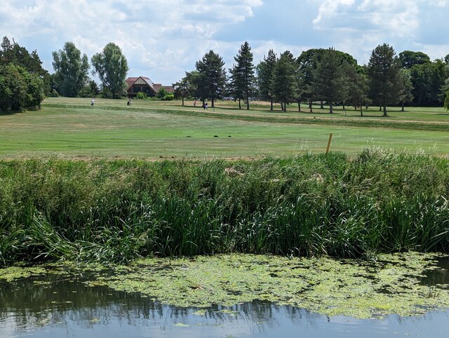
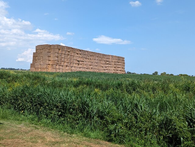
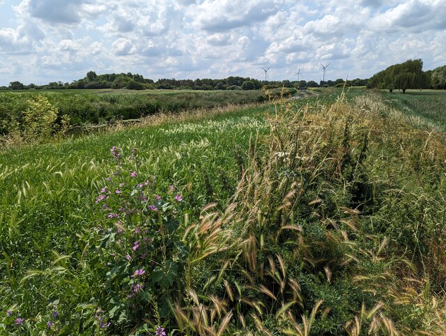
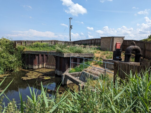
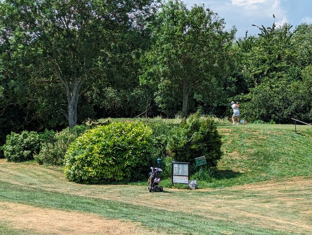
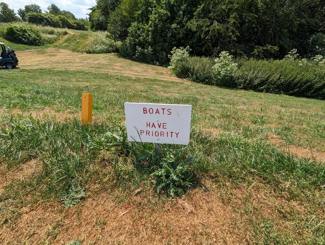
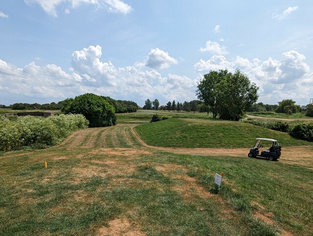
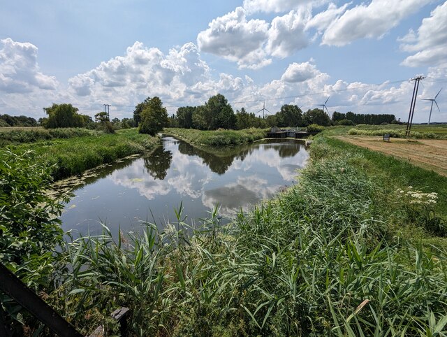
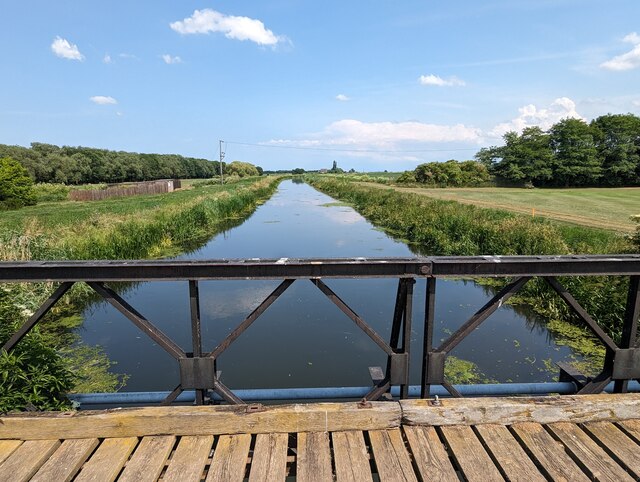
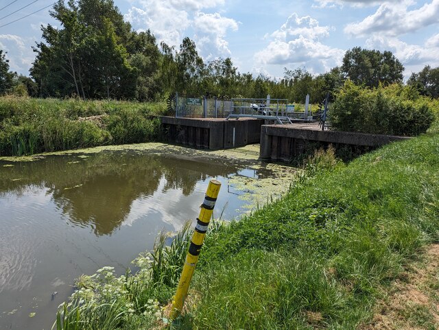
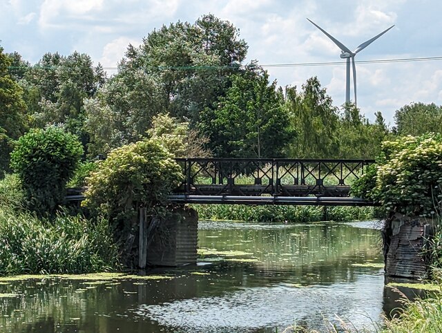
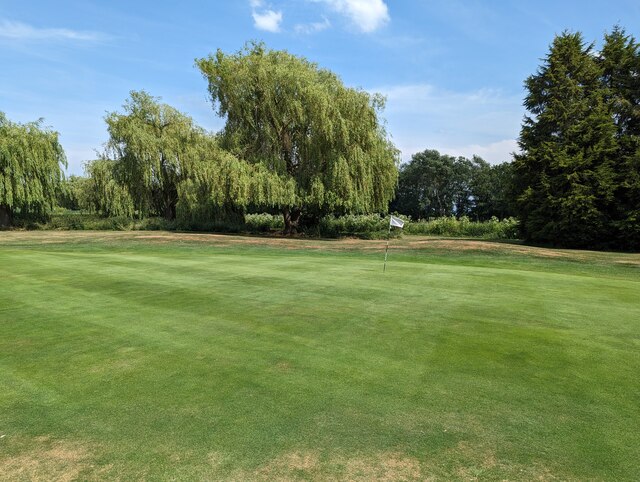
Ramsey Mereside Images
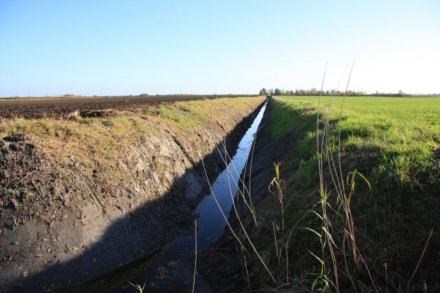
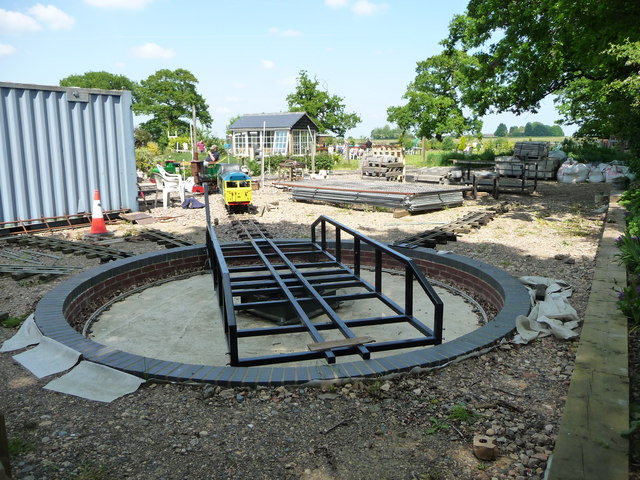
Images are sourced within 2km of 52.486236/-0.11038126 or Grid Reference TL2889. Thanks to Geograph Open Source API. All images are credited.
Ramsey Mereside is located at Grid Ref: TL2889 (Lat: 52.486236, Lng: -0.11038126)
Administrative County: Cambridgeshire
District: Huntingdonshire
Police Authority: Cambridgeshire
What 3 Words
///remarked.denim.portfolio. Near Ramsey, Cambridgeshire
Nearby Locations
Related Wikis

Ramsey Mereside
Ramsey Mereside, known colloquially as "The Village", is a small village approximately 3.5 miles (5.6 km) north of the town of Ramsey, Cambridgeshire...

Ramsey Forty Foot
Ramsey Forty Foot is a village in Ramsey civil parish, part of the Huntingdonshire district of Cambridgeshire, England. It lies on the Forty Foot Drain...

Ramsey St Mary's
Ramsey St Mary's is a village in Ramsey civil parish, part of the Huntingdonshire district of Cambridgeshire, England. == Church == During the 1850s, the...
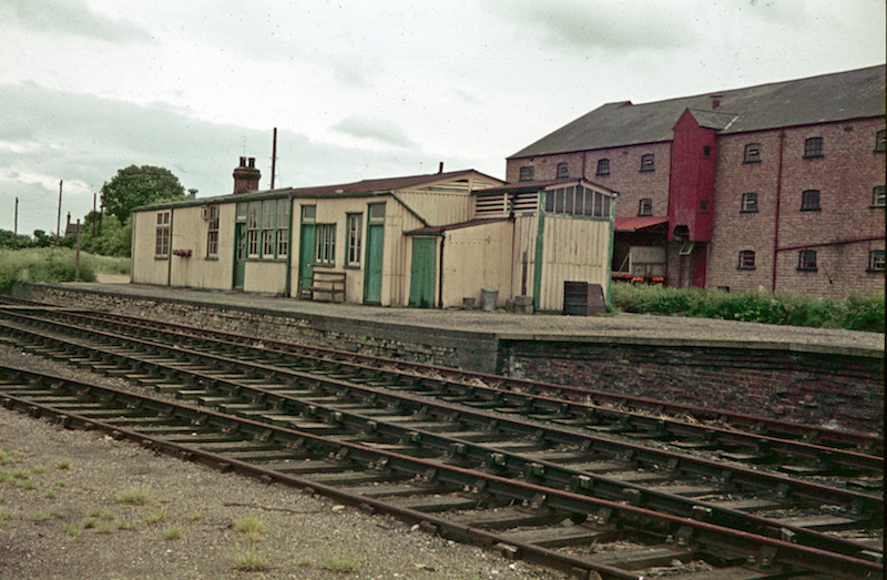
Ramsey North railway station
Ramsey North railway station was a railway station in Ramsey, Cambridgeshire which is now closed. It was the terminus of a branch line from Holme on the...
Nearby Amenities
Located within 500m of 52.486236,-0.11038126Have you been to Ramsey Mereside?
Leave your review of Ramsey Mereside below (or comments, questions and feedback).