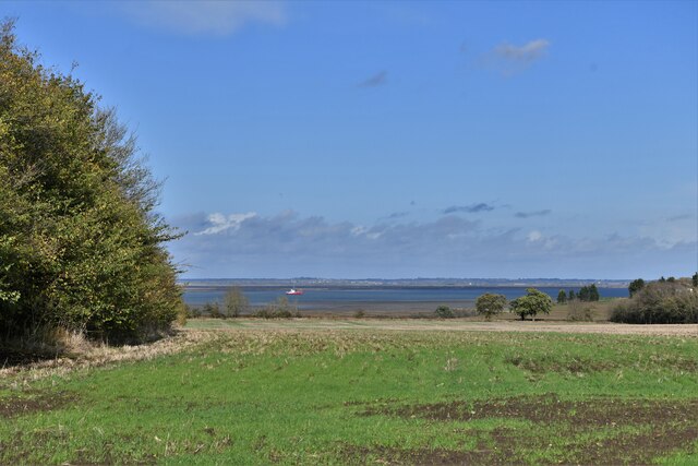
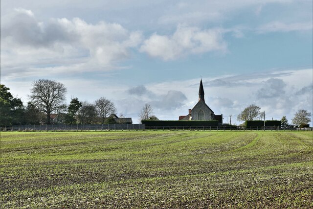
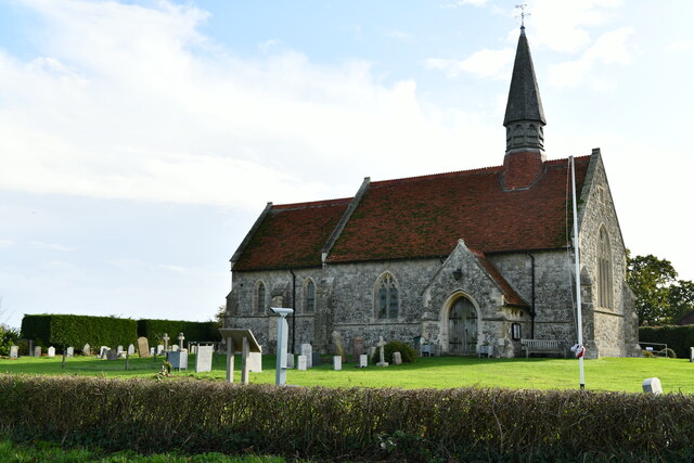
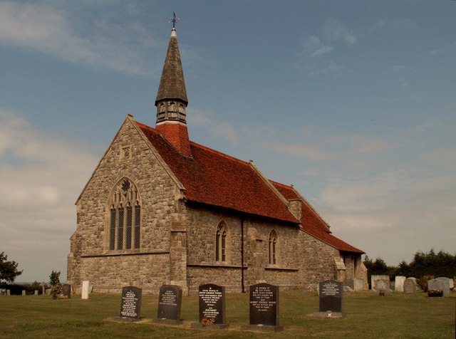
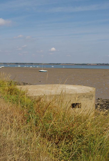
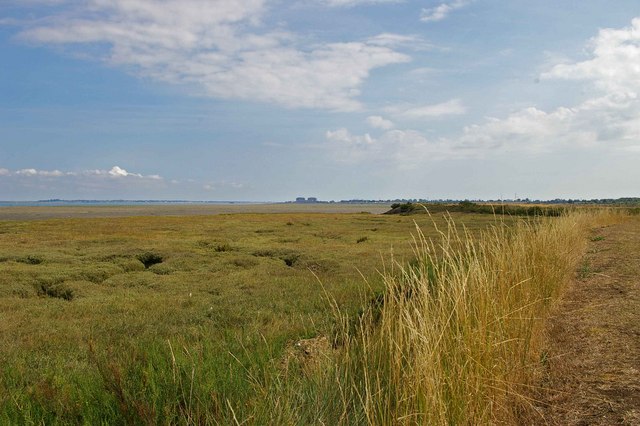
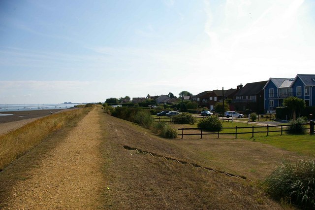
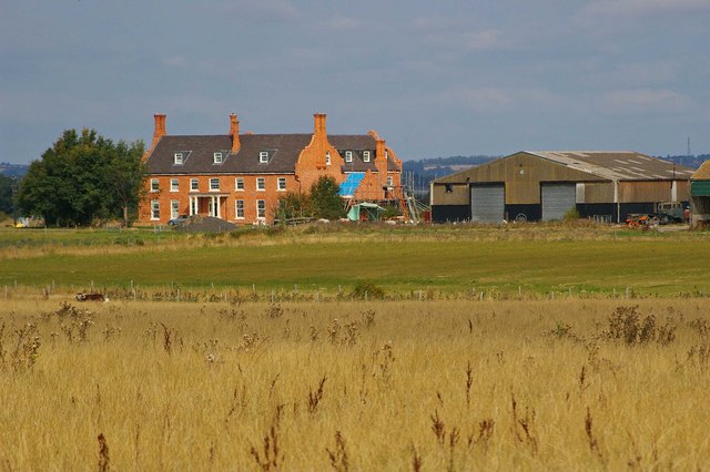
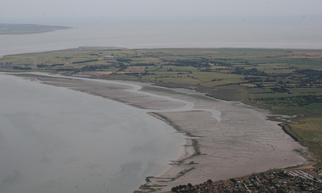
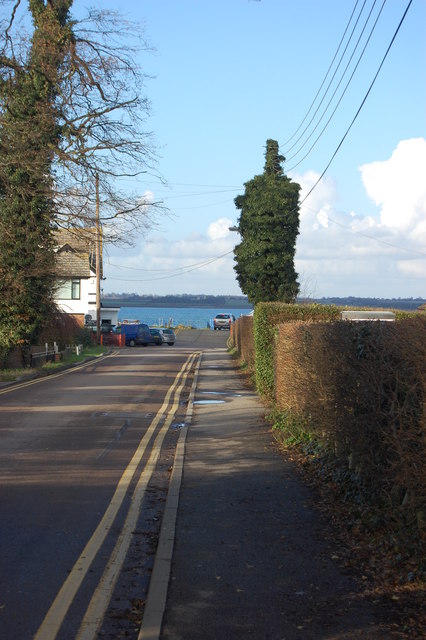
Ramsey Island

Settlement in Essex Maldon

England

Ramsey Island

St. Lawrence: Patchy spring cereal crop
St. Lawrence: Patchy spring cereal crop Credit: Michael Garlick

The requested URL returned error: 429 Too Many Requests

If you have any feedback on the listing, please let us know in the comments section below.

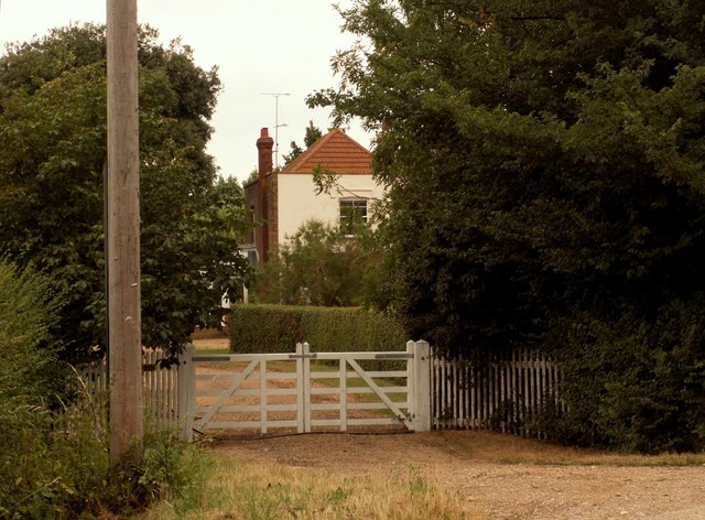
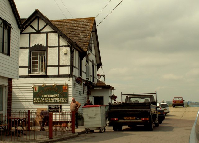
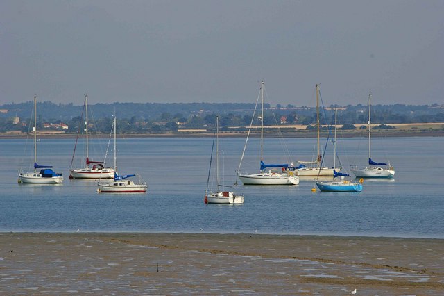
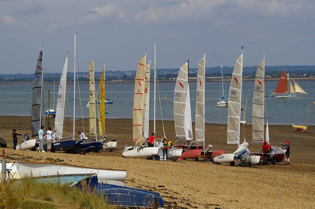
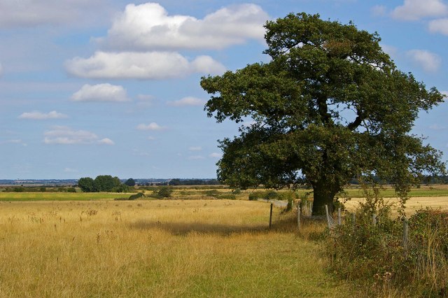
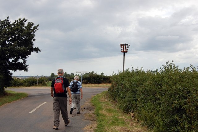
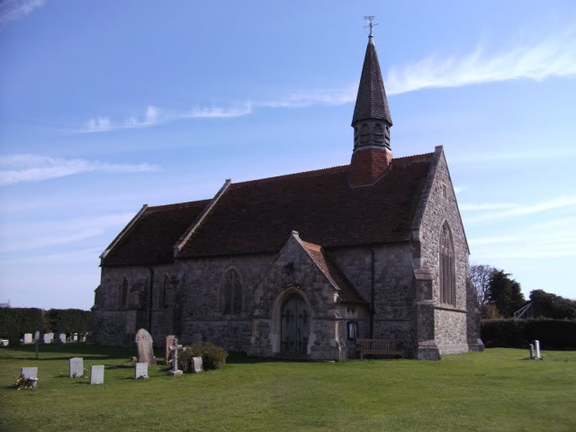
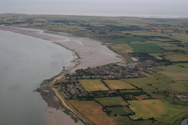
Ramsey Island Images

Images are sourced within 2km of 51.715344/0.82607698 or Grid Reference TL9505. Thanks to Geograph Open Source API. All images are credited.

St. Lawrence: Patchy spring cereal crop
St. Lawrence, St. Lawrence's Church: Eastern aspect
St. Lawrence, St. Lawrence's Church: Northern aspect
St. Lawrence's church at St. Lawrence, Essex This church was designed by Robert Wheeler and built in 1877-8.
St. Lawrence's church at St. Lawrence, Essex
This church was designed by Robert Wheeler and built in 1877-8.
Mott's Farm, St. Lawrence, Essex
'The Stone Inn' at Ramsey Island, Essex In the distance, beyond the red car, is the River Blackwater and the area known as St. Lawrence Bay.
'The Stone Inn' at Ramsey Island, Essex
In the distance, beyond the red car, is the River Blackwater and the area known as St. Lawrence Bay.
Blackwater Mooring The river Blackwater has numerous mooring sites such as this one around the mud flats.
Blackwater Mooring
The river Blackwater has numerous mooring sites such as this one around the mud flats.
Kaleidoscope of Cats Catamarans waiting for the tide at Stone Sailing Club
Kaleidoscope of Cats
Catamarans waiting for the tide at Stone Sailing Club
Type 22 and St Lawrence Bay This is St Lawrence bay looking back along the Blackwater towards Stone. For an explanation of type 22 see <span class="nowrap"><a title="http://www.pillboxesuk.co.uk/" rel="nofollow ugc noopener" href="http://www.pillboxesuk.co.uk/">Link</a><img style="margin-left:2px;" alt="External link" title="External link - shift click to open in new window" src="https://s1.geograph.org.uk/img/external.png" width="10" height="10"/></span>
Type 22 and St Lawrence Bay
This is St Lawrence bay looking back along the Blackwater towards Stone. For an explanation of type 22 see LinkExternal link
St Lawrence Bay Saltmarsh This is an example of coastal squeeze where saltmarsh is squeezed against an artificial land boundary. The unsightly blocks on the horizon are <a href="https://www.geograph.org.uk/photo/35708">TM0008 : Moody Magnox (Bradwell Nuclear Power Station)</a>
St Lawrence Bay Saltmarsh
This is an example of coastal squeeze where saltmarsh is squeezed against an artificial land boundary. The unsightly blocks on the horizon are TM0008 : Moody Magnox (Bradwell Nuclear Power Station)
Ramsea Island Homes The sea wall and some rather desirable homes on Ramsea Island  on the River Blackwater.
Ramsea Island Homes
The sea wall and some rather desirable homes on Ramsea Island on the River Blackwater.
Steeplewick Farm This picture was taken from the footpath that runs from The St Peters Way on Bradwell Rd to Stansgate Abbey Farm
Steeplewick Farm
This picture was taken from the footpath that runs from The St Peters Way on Bradwell Rd to Stansgate Abbey Farm
Footpath to Stansgate Abbey Farm The footpath along the fence runs from The St Peters Way on Bradwell Rd to Stansgate Abbey Farm
Footpath to Stansgate Abbey Farm
The footpath along the fence runs from The St Peters Way on Bradwell Rd to Stansgate Abbey Farm
Approaching the Beacon, St Lawrence The beacon at St Lawrence has a fine position overlooking the estuary of the River Blackwater.
Approaching the Beacon, St Lawrence
The beacon at St Lawrence has a fine position overlooking the estuary of the River Blackwater.
Parish Church, St Lawrence, Essex
Aerial photo of St Lawrence This aerial photo covers quite a few grid squares on the Dengie Peninsula, although the prominent focus is of St Lawrence.
Aerial photo of St Lawrence
This aerial photo covers quite a few grid squares on the Dengie Peninsula, although the prominent focus is of St Lawrence.
St Lawrence Bay As it would be difficult to photograph this grid on the ground, I thought this might be useful.
St Lawrence Bay
As it would be difficult to photograph this grid on the ground, I thought this might be useful.
End of the road Approaching the Stone slipway
End of the road
Approaching the Stone slipway
Show me another place!

Ramsey Island is located at Grid Ref: TL9505 (Lat: 51.715344, Lng: 0.82607698)

Administrative County: Essex

District: Maldon

Police Authority: Essex

What 3 Words

///sleepless.scrolled.pure. Near Tollesbury, Essex

Related Wikis

St Lawrence Bay

St Lawrence Bay is a village in Essex, UK. It is in an area known as the Dengie Hundred, next to the River Blackwater. The village is now known as St Lawrence...

St Lawrence, Essex

St Lawrence is a parish in the Maldon district of Essex in the East of England on the Dengie peninsula. The village of St Lawrence Bay, which takes its...

MV Ross Revenge

MV Ross Revenge is a radio ship, the home of Radio Caroline, as well as having supported Radio Monique and various religious broadcasters. Funded by the...

Steeple, Essex

Steeple is a village on the Dengie Peninsula in Essex, England. It is situated just east of Maylandsea and Mayland, on the southern side of the River Blackwater...

Nearby Amenities

Located within 500m of 51.715344,0.82607698
St Lawrence
Is In: Essex, England, UK
Is In Country: UK
Is In County: Essex
Place: village
Lat/Long: 51.7167052/0.8252145
Bus Stop
Bay View
Bus: yes
Naptan AtcoCode: 1500JMD040
Naptan Bearing: N
Naptan BusStopType: CUS
Naptan CommonName: Bay View
Naptan Indicator: Adj
Naptan Landmark: Bay View
Naptan NaptanCode: esxjdpdw
Naptan Street: Main Road
Naptan Verified: no
Public Transport: platform
Source: naptan_import
Lat/Long: 51.7177516/0.8244876
Bus Stop
Bay View
Bus: yes
Naptan AtcoCode: 1500JMD041
Naptan Bearing: S
Naptan BusStopType: CUS
Naptan CommonName: Bay View
Naptan Indicator: Opp
Naptan Landmark: Bay View
Naptan NaptanCode: esxjdpdt
Naptan Street: Main Road
Naptan Verified: no
Public Transport: platform
Source: naptan_import
Lat/Long: 51.7177333/0.8246834
Bus Stop
Dairy Stores
Bus: yes
Naptan AtcoCode: 1500STLAWNC5
Naptan BusStopType: CUS
Naptan NaptanCode: esxawtdp
Naptan Verified: no
Public Transport: platform
Source: naptan_import
Lat/Long: 51.7153454/0.8262311
Bus Stop
Dairy Stores
Bus: yes
Naptan AtcoCode: 1500STLAWNCA
Naptan BusStopType: CUS
Naptan NaptanCode: esxgwmwd
Naptan Verified: no
Public Transport: platform
Source: naptan_import
Lat/Long: 51.7152357/0.8260728
Direction: both
Surface: asphalt
Traffic Calming: table
Lat/Long: 51.7134641/0.8304483
Direction: both
Surface: asphalt
Traffic Calming: table
Lat/Long: 51.7129147/0.8314578
Barrier: lift_gate
Motorcar: yes
Motorcycle: yes
Lat/Long: 51.7186402/0.8246383
Ramsey Island
Place: locality
Lat/Long: 51.7171005/0.8194462
St Lawrence
Direction: 155
Traffic Sign: city_limit
Lat/Long: 51.7119925/0.8300613
Man Made: surveillance
Surveillance: public
Lat/Long: 51.7133481/0.8286222
Telephone
Defibrillator
Access: yes
Booth: K6
Covered: booth
Defibrillator Location: inside old red phone box next to St Lawrence Inn, Main Road, St Lawrence
Emergency: defibrillator
Man Made: telephone_box
Lat/Long: 51.7143495/0.827893
Post Box
Drive Through: no
Operator: Royal Mail
Operator Wikidata: Q638098
Lat/Long: 51.7153409/0.8257444
Telephone
Booth: KX100
Covered: booth
Operator: BT
Operator Wikidata: Q593786
Lat/Long: 51.719064/0.8244497
Waste Basket
Lat/Long: 51.7191493/0.8244466
Defibrillator
Emergency: defibrillator
Indoor: no
Lat/Long: 51.7161224/0.8256885
Post Office
St Lawrence Bay Post Office
Addr City: St Lawrence
Addr Housenumber: 33
Addr Postcode: CM0 7LY
Addr Street: Main Road
Brand: Post Office
Brand Wikidata: Q1783168
Contact Website: https://www.postoffice.co.uk/branch-finder/1051148/st-lawrence-bay
Opening Hours: Mo-Tu 09:00-15:00; We-Fr 09:00-13:00; Sa-Su off
Ref Pol Id: 18701
Website: https://www.postoffice.co.uk/
Lat/Long: 51.7153488/0.8256463
Direction: both
Surface: metal
Traffic Calming: bump
Lat/Long: 51.7194983/0.8247114
Direction: both
Surface: metal
Traffic Calming: bump
Lat/Long: 51.7192196/0.8247226
Barrier: lift_gate
Lat/Long: 51.7144906/0.82786
Direction: both
Surface: asphalt
Traffic Calming: bump
Lat/Long: 51.7125092/0.8301459
Direction: both
Surface: asphalt
Traffic Calming: bump
Lat/Long: 51.7124244/0.8302045
Childcare
Diddydots Nursery
Addr City: St Lawrence
Addr Postcode: CM0 7LR
Addr Street: Main Road
Opening Hours: Mo,Th 08:00-16:00; Tu,We,Fr 08:00-14:00; Sa-Su off
Phone: +44 1621 778965
Website: https://www.diddydots-nursery.co.uk/
Lat/Long: 51.7130021/0.8284226
The data included in this document is from www.openstreetmap.org. The data is made available under ODbL.

Have you been to Ramsey Island?

Leave your review of Ramsey Island below (or comments, questions and feedback).