Ramsey Forty Foot

Settlement in Huntingdonshire Huntingdonshire

England

Ramsey Forty Foot

Old Nene Golf Course - The 1st hole, par 3 ...
Old Nene Golf Course - The 1st hole, par 3 Credit: Richard Humphrey

Ramsey Forty Foot is a small village located in the county of Huntingdonshire, England. Situated approximately 70 miles north of London, it lies on the eastern side of the Great Ouse River. The village is part of the larger civil parish of Ramsey, along with its neighboring villages, and falls within the district of Huntingdonshire.

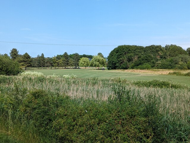
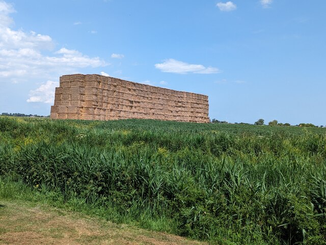
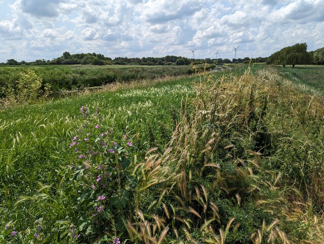
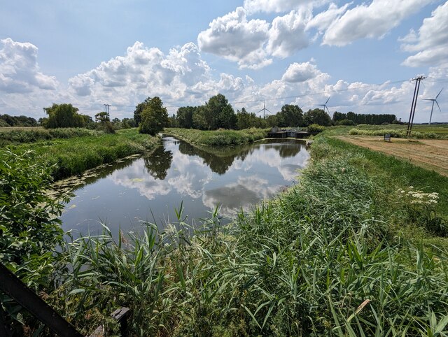
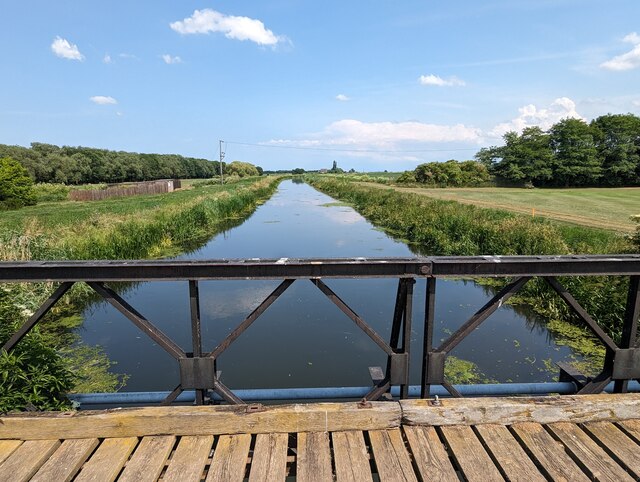
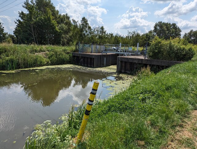
The name "Forty Foot" refers to the width of the river at this point, indicating its historical importance as a crossing point. The village itself is characterized by its picturesque rural setting, surrounded by farmland and open countryside. The landscape is dotted with charming cottages and traditional houses, lending a quaint and tranquil atmosphere to the area.

Although small in size, Ramsey Forty Foot boasts a close-knit community with a range of amenities. These include a village hall, a primary school, a church, and a local pub, providing essential services and spaces for social gatherings. The village is also well-connected, with good road links to nearby towns such as Peterborough and Huntingdon.

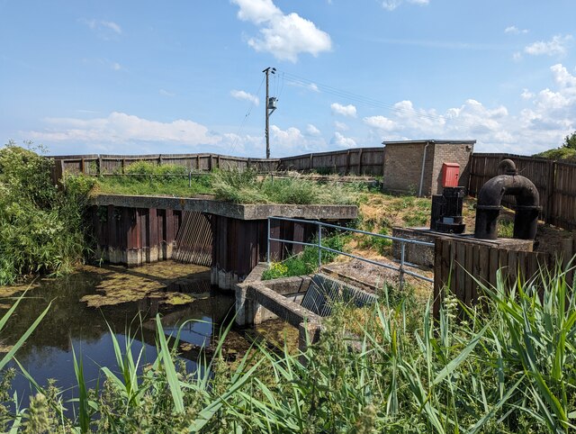
Nature lovers can appreciate the beauty of Ramsey Forty Foot's surroundings, as the Great Ouse River offers opportunities for boating, fishing, and scenic walks along the riverbank. The area is also home to various bird species, making it a popular spot for birdwatching enthusiasts.

Overall, Ramsey Forty Foot is a charming village that appeals to those seeking a peaceful and idyllic setting, while still providing essential amenities and a sense of community.

If you have any feedback on the listing, please let us know in the comments section below.

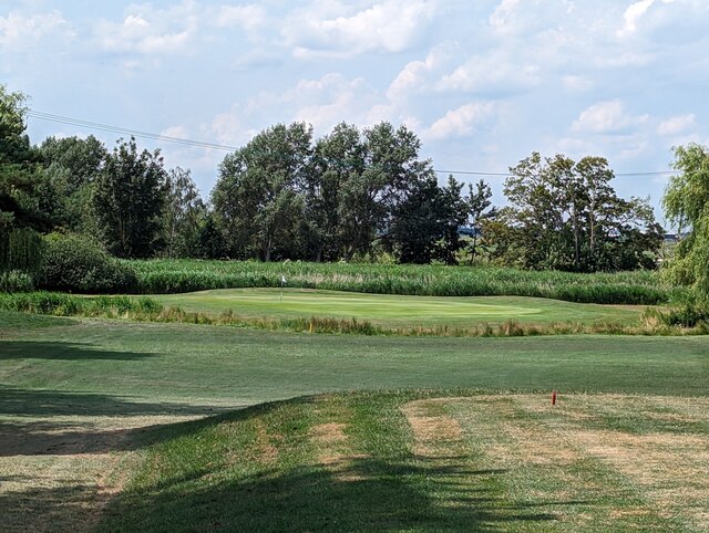
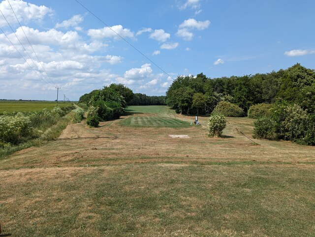
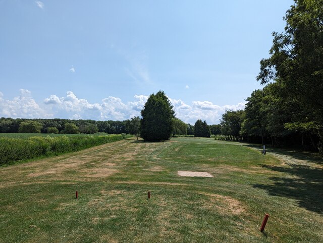
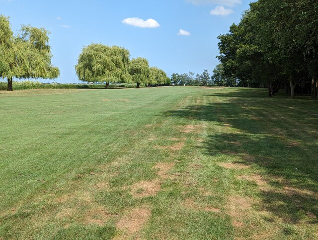
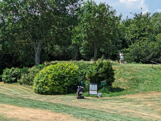
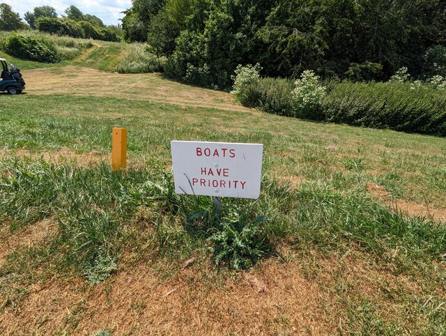
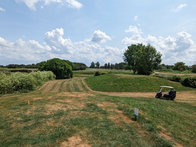
Ramsey Forty Foot Images

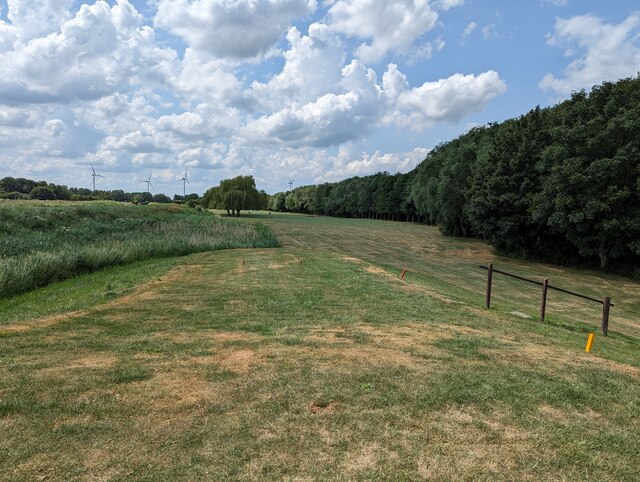
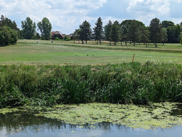
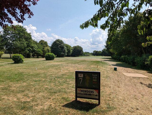
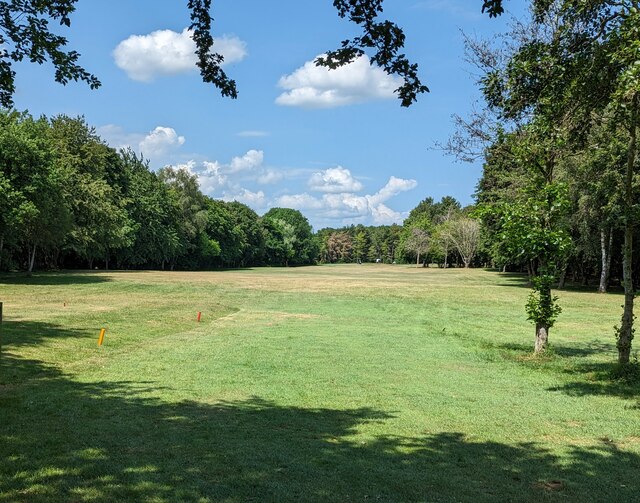
Images are sourced within 2km of 52.471145/-0.080506561 or Grid Reference TL3087. Thanks to Geograph Open Source API. All images are credited.

Old Nene Golf Course - The 1st hole, par 3 ...
Old Nene Golf Course - The 1st hole, par 3
...
Old Nene Golf Course - The 2nd hole, tee and fairway ...
Old Nene Golf Course - The 2nd hole, tee and fairway
...
Old Nene Golf Course - The 3rd hole, par 3 ...
Old Nene Golf Course - The 3rd hole, par 3
...
Old Nene Golf Course - The 4th fairway, par 4 ...
Old Nene Golf Course - The 4th fairway, par 4
...
Old Nene Golf Course - The 5th hole, par 4 ...
Old Nene Golf Course - The 5th hole, par 4
...
Old Nene Golf Course - The 6th fairway and water hazard, par 4 ...
Old Nene Golf Course - The 6th fairway and water hazard, par 4
...
Old Nene Golf Course - The 7th hole, par 3 ...
Old Nene Golf Course - The 7th hole, par 3
...
Old Nene Golf Course - The 8th hole, par 4 ...
Old Nene Golf Course - The 8th hole, par 4
...
Old Nene Golf Course - The 9th hole, par 4 ...
Old Nene Golf Course - The 9th hole, par 4
...
Straw stack near the 3rd tee on Old Nene golf course ...
Straw stack near the 3rd tee on Old Nene golf course
...
Old Nene Golf Course - On the edge of the 5th fairway ...
Old Nene Golf Course - On the edge of the 5th fairway
...
Old Nene Golf Course - Pumping station near the 5th green ...
Old Nene Golf Course - Pumping station near the 5th green
...
Old Nene Golf Course - On the 15th tee ...
Old Nene Golf Course - On the 15th tee
...
Old Nene Golf Course - BOATS HAVE PRIORITY On the 6th/15th tee golfers drive over the River Nene (old course) hence this most unusual sign.
Old Nene Golf Course - BOATS HAVE PRIORITY
On the 6th/15th tee golfers drive over the River Nene (old course) hence this most unusual sign.
Old Nene Golf Course - The 15th tee A drive has to carry about 150 yards to clear the River Nene (old course)
Old Nene Golf Course - The 15th tee
A drive has to carry about 150 yards to clear the River Nene (old course)
Old Nene Golf Course - The River Nene (old course) and High Lode on the left ...
Old Nene Golf Course - The River Nene (old course) and High Lode on the left
...
Old Nene Golf Course - The River Nene (old course) flows through the course The 5th /14th tees are on the left of the river and the fairway and green are on the right
Old Nene Golf Course - The River Nene (old course) flows through the course
The 5th /14th tees are on the left of the river and the fairway and green are on the right
Old Nene Golf Course - Lock on the River Nene (old course) ...
Old Nene Golf Course - Lock on the River Nene (old course)
...
Show me another place!

Ramsey Forty Foot is located at Grid Ref: TL3087 (Lat: 52.471145, Lng: -0.080506561)

Administrative County: Cambridgeshire

District: Huntingdonshire

Police Authority: Cambridgeshire

What 3 Words

///heat.narrating.themes. Near Ramsey, Cambridgeshire

Nearby Locations

Ramsey Forty Foot

Related Wikis

Ramsey Forty Foot

Ramsey Forty Foot is a village in Ramsey civil parish, part of the Huntingdonshire district of Cambridgeshire, England. It lies on the Forty Foot Drain...

Ramsey Mereside

Ramsey Mereside, known colloquially as "The Village", is a small village approximately 3.5 miles (5.6 km) north of the town of Ramsey, Cambridgeshire...

Church of St Thomas à Becket, Ramsey

The Church of St Thomas à Becket, Ramsey is the Church of England parish church of Ramsey, Cambridgeshire (formerly Huntingdonshire). The parish is part...

Abbey College, Ramsey

Abbey College is a secondary school located in Ramsey, Cambridgeshire, England. The school is around 10 miles from Huntingdon and Peterborough and offers...

Nearby Amenities

Located within 500m of 52.471145,-0.080506561
Bus Stop
St Felix Road
Bus: yes
Naptan AtcoCode: 0500HRAMS002
Naptan Bearing: NE
Naptan BusStopType: CUS
Naptan CommonName: St Felix Road
Naptan Indicator: near
Naptan Landmark: St Felix Road
Naptan NaptanCode: CMBDPTGA
Naptan ShortCommonName: St Felix Road
Naptan Street: Ramsey Road
Naptan Verified: no
Public Transport: platform
Source: naptan;bing;naptan_compare_tool
Lat/Long: 52.4712401/-0.0804478
Bus Stop
St Felix Road
Bus: yes
Naptan AtcoCode: 0500HRAMS008
Naptan Bearing: SW
Naptan CommonName: St Felix Road
Naptan Indicator: opp
Naptan Landmark: St Felix Road
Naptan NaptanCode: CMBDPTGW
Naptan ShortCommonName: St Felix Road
Naptan Street: Ramsey Road
Naptan Verified: no
Public Transport: platform
Source: naptan;bing;naptan_compare_tool
Lat/Long: 52.4711233/-0.0804529
Bus Stop
Blacksmiths Close
Bus: yes
Naptan AtcoCode: 0500HRAMS036
Naptan Bearing: SW
Naptan BusStopType: CUS
Naptan CommonName: Blacksmiths Close
Naptan Indicator: near
Naptan Landmark: Blacksmiths Close
Naptan NaptanCode: cmbdptmp
Naptan ShortCommonName: Blacksmiths Close
Naptan Street: Ramsey Road
Naptan Verified: no
Public Transport: platform
Source: naptan_import
Lat/Long: 52.4740702/-0.0764373
Bus Stop
Blacksmiths Close
Bus: yes
Naptan AtcoCode: 0500HRAMS037
Naptan Bearing: N
Naptan BusStopType: CUS
Naptan CommonName: Blacksmiths Close
Naptan Indicator: opp
Naptan Landmark: Blacksmiths Close
Naptan NaptanCode: cmbgdtpd
Naptan ShortCommonName: Blacksmiths Close
Naptan Street: Ramsey Road
Naptan Verified: no
Public Transport: platform
Source: naptan_import
Lat/Long: 52.4740894/-0.0765101
Post Box
Ref: PE26 66
Lat/Long: 52.4731536/-0.0787297
Turning Circle
Lat/Long: 52.4737515/-0.078785
Mere Farm
Landuse: farm
Note Retag: CS #48756035
Lat/Long: 52.4755193/-0.0802633
Power: pole
Lat/Long: 52.4705192/-0.0783689
Power: pole
Lat/Long: 52.4723573/-0.0734498
Power: pole
Lat/Long: 52.4709833/-0.0772342
Power: pole
Lat/Long: 52.4720044/-0.0745173
Power: pole
Lat/Long: 52.471498/-0.0760085
Power: pole
Lat/Long: 52.4700479/-0.0795114
Power: pole
Lat/Long: 52.4679981/-0.085018
Power: pole
Lat/Long: 52.4692219/-0.081754
Power: pole
Lat/Long: 52.469637/-0.0806299
Power: pole
Lat/Long: 52.4686272/-0.0834114
Ramsey Forty Foot
Place: village
Wikidata: Q7290216
Lat/Long: 52.4726777/-0.07754
Waste Basket
Lat/Long: 52.4744098/-0.0761201
Bench
Lat/Long: 52.4744074/-0.0760584
Information: board
Tourism: information
Lat/Long: 52.4744604/-0.0761858
Waste Basket
Lat/Long: 52.4741801/-0.0763131
Waste Basket
Lat/Long: 52.4740519/-0.0765571
Bench
Lat/Long: 52.4740821/-0.0765437
The data included in this document is from www.openstreetmap.org. The data is made available under ODbL.

Have you been to Ramsey Forty Foot?

Leave your review of Ramsey Forty Foot below (or comments, questions and feedback).