Ramsey

Settlement in Essex Tendring

England

Ramsey

Lane near Ramsey This short lane was once part of the original B.1352
Lane near Ramsey Credit: Robert Edwards

Ramsey is a small village located in the county of Essex, England. It is situated in the district of Uttlesford, approximately 10 miles northeast of the town of Saffron Walden. With a population of around 1,500 residents, Ramsey is a tight-knit community known for its picturesque countryside setting and historic charm.

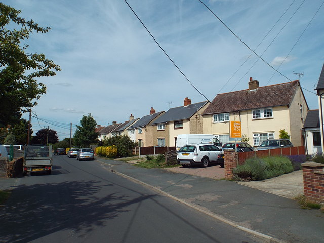
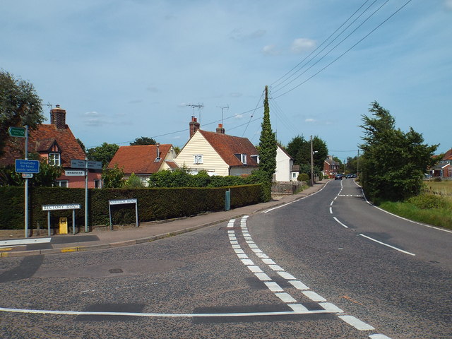
The village is characterized by its traditional architecture, boasting a collection of well-preserved timber-framed houses and thatched cottages. These buildings provide a glimpse into Ramsey's rich history, which dates back to medieval times. The centerpiece of the village is the St. Mary's Church, a beautiful Grade I listed building that stands as a testament to its religious heritage.

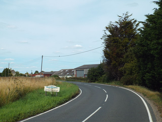
Ramsey is surrounded by stunning natural beauty, with the River Rhee flowing through the village and offering opportunities for peaceful walks along its banks. The countryside surrounding Ramsey is dotted with rolling hills, fields, and woodlands, making it an idyllic location for outdoor enthusiasts.

Despite its small size, Ramsey offers a range of amenities and services for its residents. These include a primary school, a village hall, a local pub, and a few small shops. The village also hosts various community events throughout the year, such as fairs and festivals, which further strengthen the sense of community spirit.

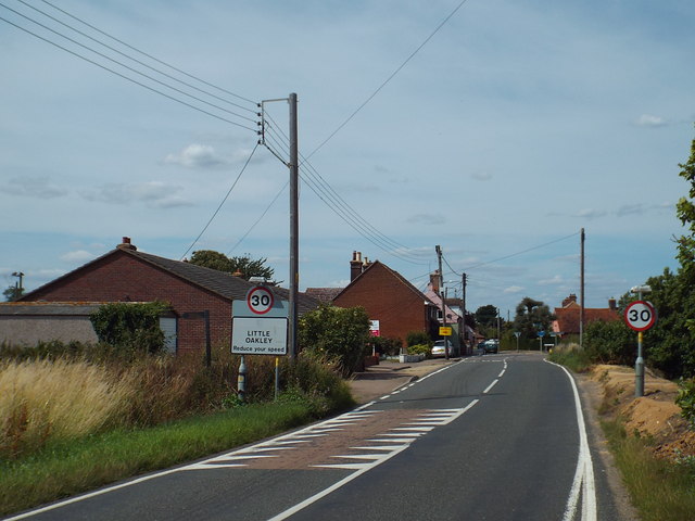
Ramsey's proximity to larger towns and cities, such as Cambridge and Bishop's Stortford, provides residents with access to a wider range of facilities and employment opportunities. The village is well-connected by road, with the A120 and A11 nearby, and public transport options are available for those who prefer not to drive.

In conclusion, Ramsey is a charming and historic village in Essex, offering a peaceful and picturesque setting for its residents to enjoy.

If you have any feedback on the listing, please let us know in the comments section below.
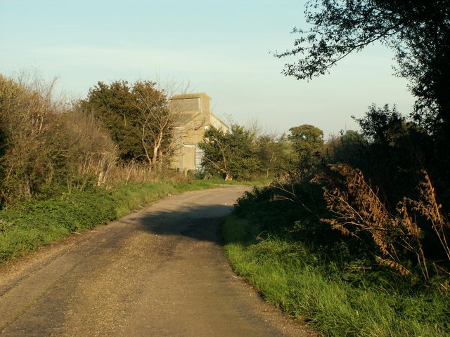
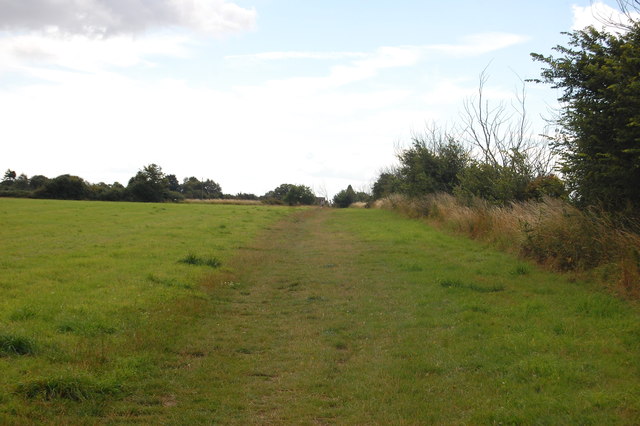
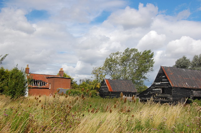
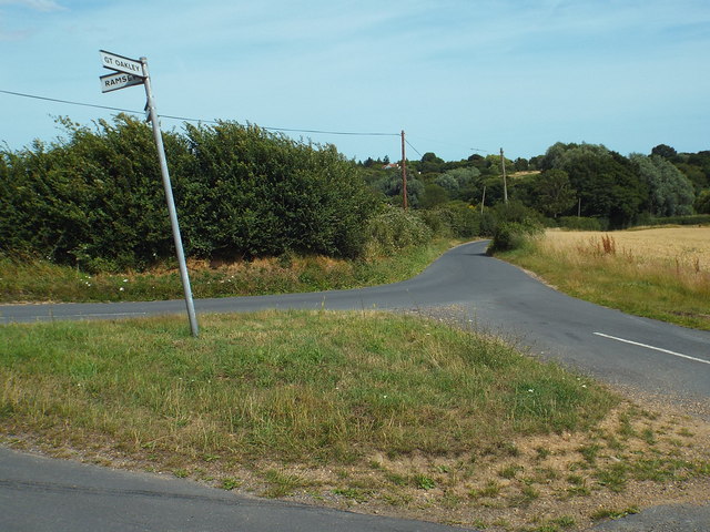
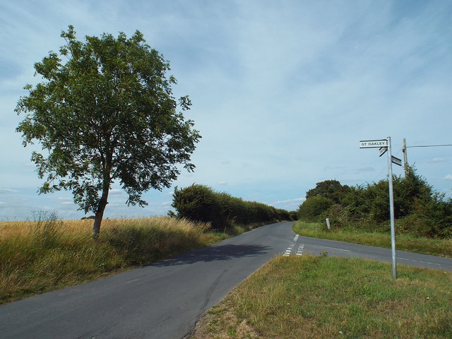
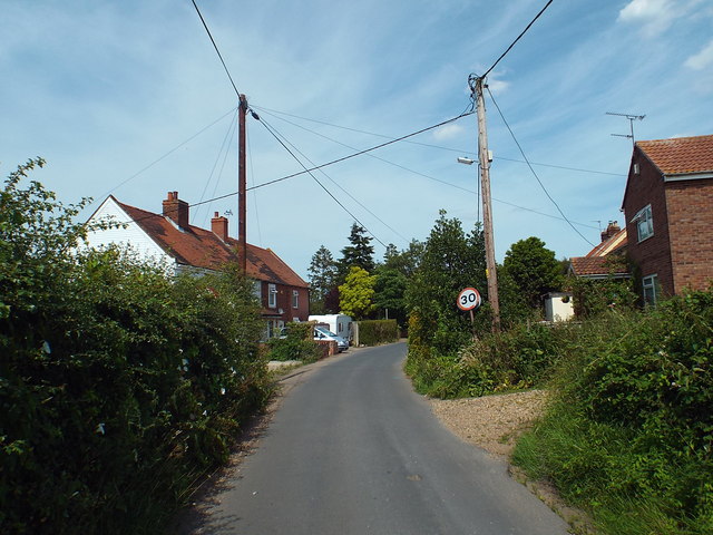
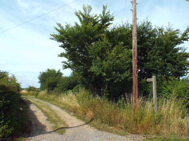
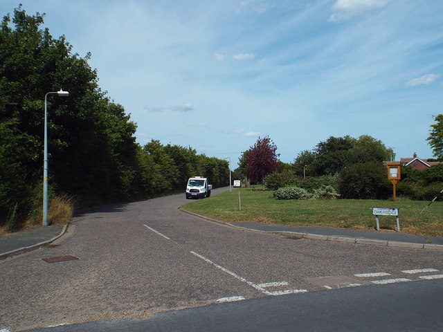
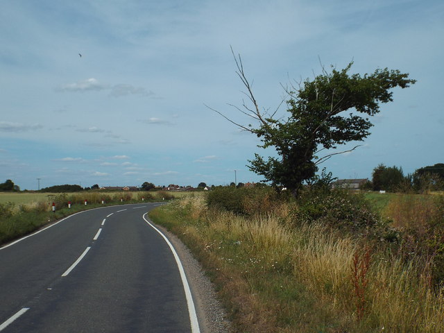
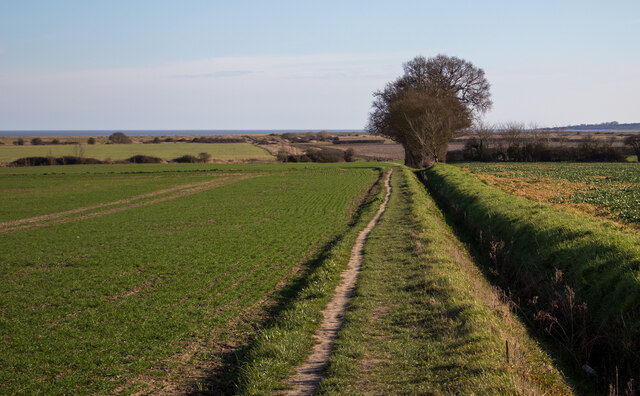
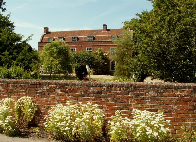
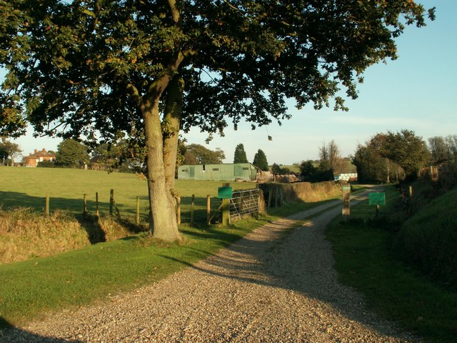
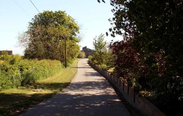
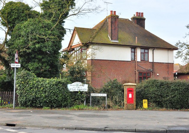
Ramsey Images

Images are sourced within 2km of 51.928624/1.216828 or Grid Reference TM2130. Thanks to Geograph Open Source API. All images are credited.

Lane near Ramsey This short lane was once part of the original B.1352
Lane near Ramsey
This short lane was once part of the original B.1352
The Essex Way 162: towards Little Oakley A largely straight path leads from Ramsey to a footpath junction near Little Oakley.
The Essex Way 162: towards Little Oakley
A largely straight path leads from Ramsey to a footpath junction near Little Oakley.
The Essex Way 163: Burnthouse Farm The Essex Way leaves the road at Little Oakley by the farm here - Burnthouse Farm - which bizarrely enough has suffered a fire.
The Essex Way 163: Burnthouse Farm
The Essex Way leaves the road at Little Oakley by the farm here - Burnthouse Farm - which bizarrely enough has suffered a fire.
Road junction near Little Oakley A junction of lanes in the north Essex countryside, near Little Oakley.

The sign for Great Oakley is pointing the wrong way, it should be pointing along the road to the right.
Road junction near Little Oakley
A junction of lanes in the north Essex countryside, near Little Oakley. The sign for Great Oakley is pointing the wrong way, it should be pointing along the road to the right.
Country lane junction near Little Oakley A junction in the north Essex countryside near Little Oakley.

The sign for Great Oakley has been bent round and points in the wrong direction.  It should be pointing towards the camera.
Country lane junction near Little Oakley
A junction in the north Essex countryside near Little Oakley. The sign for Great Oakley has been bent round and points in the wrong direction. It should be pointing towards the camera.
Rectory Road, Little Oakley Rectory Road, entering the village of Little Oakley in North Essex.

There are 30mph speed limit signs on both sides of the road here, however the sign on the left is obscured by the hedge.
Rectory Road, Little Oakley
Rectory Road, entering the village of Little Oakley in North Essex. There are 30mph speed limit signs on both sides of the road here, however the sign on the left is obscured by the hedge.
Public footpath near Little Oakley The sign to the right of the image indicates that this track is a public footpath.
Public footpath near Little Oakley
The sign to the right of the image indicates that this track is a public footpath.
Oakridge, Little Oakley This road leads to a housing development in the village of Little Oakley.
Oakridge, Little Oakley
This road leads to a housing development in the village of Little Oakley.
Rectory Road, Little Oakley Semi-detached houses on Rectory Road, in the village of Little Oakley in North Essex.
Rectory Road, Little Oakley
Semi-detached houses on Rectory Road, in the village of Little Oakley in North Essex.
Harwich Road, Little Oakley Harwich Road at the junction with Rectory Road in the village of Little Oakley.
Harwich Road, Little Oakley
Harwich Road at the junction with Rectory Road in the village of Little Oakley.
Clacton Road, Little Oakley Clacton Road entering the village of Little Oakley in north Essex.  This road is the B1414.
Clacton Road, Little Oakley
Clacton Road entering the village of Little Oakley in north Essex. This road is the B1414.
Clacton Road, Little Oakley Clacton Road approaching the village of Little Oakley, in north Essex.
Clacton Road, Little Oakley
Clacton Road approaching the village of Little Oakley, in north Essex.
Clacton Road near Little Oakley Clacton Road passing through Essex countryside, near Little Oakley.
Clacton Road near Little Oakley
Clacton Road passing through Essex countryside, near Little Oakley.
The Essex Way, Little Oakley One of the first county long distance footpath devised, tracing its history back to 1971.
It was also the first to make an appearance within the county borders of Essex.
The 81 mile trail starts outside the underground station in Epping, passing through Chipping Ongar, Pleshey, White Notley, Coggeshall, Great Horkesley, Dedham and Manningtree to the High Lighthouse in Harwich.  It runs through the entire county in a rough south west to north east line.
The Essex Way, Little Oakley
One of the first county long distance footpath devised, tracing its history back to 1971. It was also the first to make an appearance within the county borders of Essex. The 81 mile trail starts outside the underground station in Epping, passing through Chipping Ongar, Pleshey, White Notley, Coggeshall, Great Horkesley, Dedham and Manningtree to the High Lighthouse in Harwich. It runs through the entire county in a rough south west to north east line.
The Old Rectory, Little Oakley, Essex
Mill Pond Farm This is the entrance to the farm as seen from Hill Road. The farmhouse can just be seen in the distance on the left.
Mill Pond Farm
This is the entrance to the farm as seen from Hill Road. The farmhouse can just be seen in the distance on the left.
Road to Foulton Hall at Little Oakley This section of the road is also a footpath.
Road to Foulton Hall at Little Oakley
This section of the road is also a footpath.
Mayes Lane post box The junction of Mayes Lanes and Oakley Road, Ramsey, Essex.
Mayes Lane post box
The junction of Mayes Lanes and Oakley Road, Ramsey, Essex.
Show me another place!

Ramsey is located at Grid Ref: TM2130 (Lat: 51.928624, Lng: 1.216828)

Administrative County: Essex

District: Tendring

Police Authority: Essex

What 3 Words

///merit.central.guests. Near Dovercourt, Essex

Nearby Locations

Whinny Grove Ramsey

Related Wikis

Ramsey and Parkeston

Ramsey and Parkeston (formerly just Ramsey) is a civil parish in the Tendring district, in the county of Essex, England. The parish includes the villages...

Ramsey, Essex

Ramsey is a village on the B1352 road, in the civil parish of Ramsey and Parkeston, in the Tendring district, in the county of Essex, England. It is near...

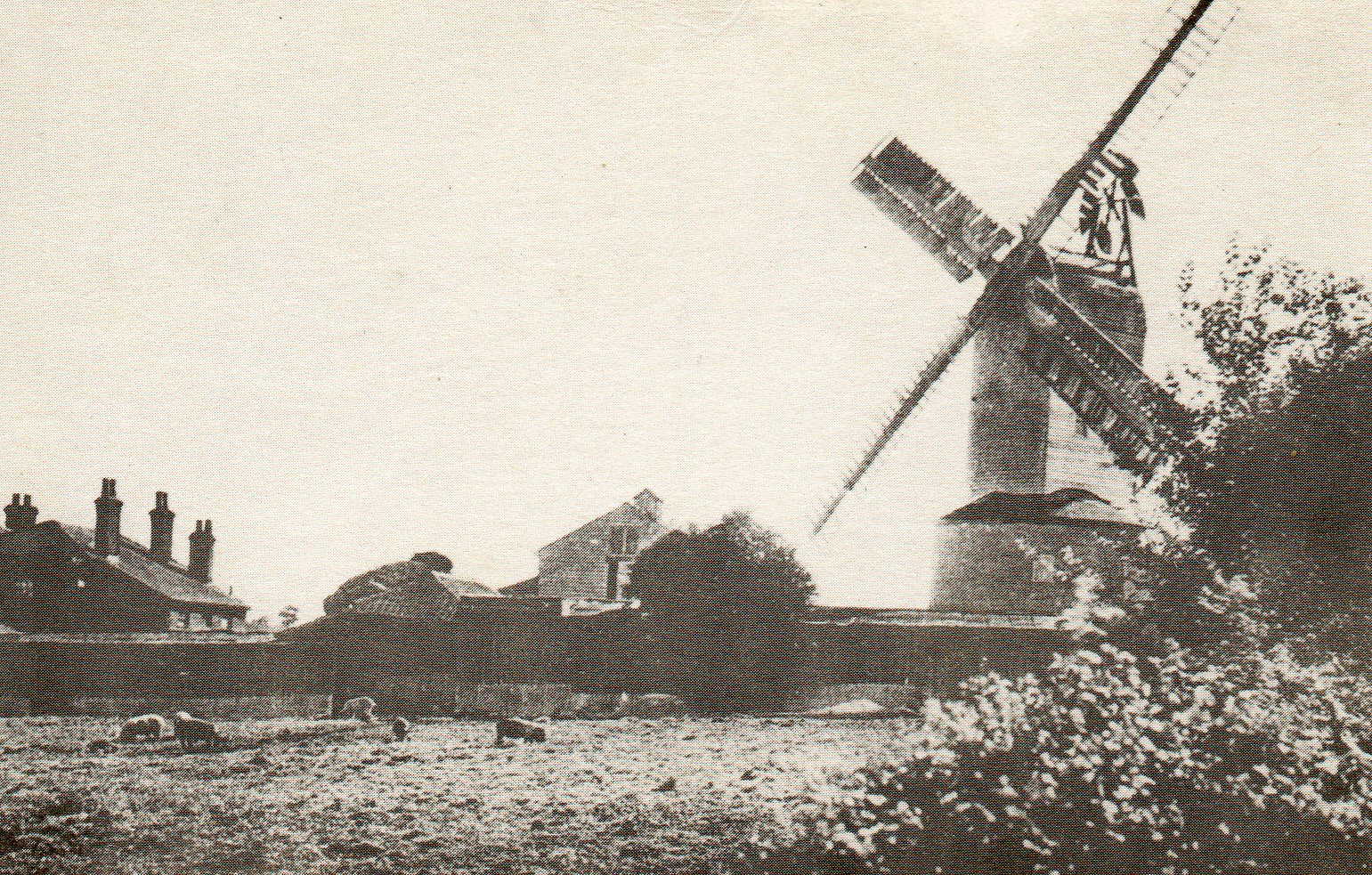
Ramsey Windmill, Essex

Ramsey Windmill is a grade II* listed post mill at Ramsey, Essex, England which has been restored. == History == Ramsey Windmill was originally built in...

Michaelstowe Hall

Michaelstowe Hall is a manor house in the village of Ramsey near Harwich, Essex, England. The present Michaelstowe Hall dates from 1903, but the Michaelstowe...

Nearby Amenities

Located within 500m of 51.928624,1.216828
Barrier: stile
Lat/Long: 51.9257753/1.2144429
Traffic Calming: chicane
Lat/Long: 51.9272139/1.2198043
Post Box
Post Box Mounting: pier
Post Box Type: lamp
Postal Code: CO12 5HB
Ref: CO12 14
Lat/Long: 51.9284769/1.2158585
Barrier: stile
Lat/Long: 51.9287749/1.2107471
Barrier: stile
Lat/Long: 51.9289614/1.209887
Ramsey
Is In: Essex, England, UK
Is In Country: UK
Is In County: Essex
Place: village
Source: NPE
Wikidata: Q1852878
Lat/Long: 51.9279381/1.2206721
Bus Stop
Ramsey Castle
Bus: yes
Kerb: raised
Naptan AtcoCode: 150029010002
Naptan Bearing: NW
Naptan CommonName: Ramsey Castle
Naptan Indicator: Opp
Naptan Landmark: Ramsey Castle
Naptan NaptanCode: esxgdptd
Naptan PlusbusZoneRef: HARWICH
Naptan Street: Main Road
Public Transport: platform
Source: naptan_import; survey
Lat/Long: 51.9284463/1.2171158
Bus Stop
Church Hill
Bus: yes
Kerb: raised
Naptan AtcoCode: 150029020027
Naptan Bearing: E
Naptan CommonName: Church Hill
Naptan Crossing: Rectory Lane
Naptan Indicator: E-bound
Naptan Landmark: Church Hill
Naptan NaptanCode: esxgdpmw
Naptan PlusbusZoneRef: HARWICH
Naptan Street: Church Hill
Public Transport: platform
Source: naptan_import; survey
Lat/Long: 51.9273588/1.220672
Bus Stop
Ramsey Castle
Bus: yes
Kerb: raised
Naptan AtcoCode: 1500IM57
Naptan Bearing: SE
Naptan CommonName: Ramsey Castle
Naptan Indicator: o/s
Naptan Landmark: Ramsey Castle
Naptan NaptanCode: esxgdpta
Naptan PlusbusZoneRef: HARWICH
Naptan Street: Main Road
Public Transport: platform
Shelter: yes
Source: naptan_import; survey
Timetable Case: yes
Lat/Long: 51.9283276/1.2174979
Bus Stop
Church Hill
Bus: yes
Kerb: raised
Naptan AtcoCode: 1500RMSYCHHL
Naptan Bearing: W
Naptan CommonName: Church Hill
Naptan Crossing: Rectory Lane
Naptan Indicator: W-bound
Naptan Landmark: Church Hill
Naptan NaptanCode: esxgdpmt
Naptan PlusbusZoneRef: HARWICH
Naptan Street: Church Hill
Public Transport: platform
Source: naptan_import; survey
Lat/Long: 51.9272652/1.2204604
Barrier: stile
Foot: yes
Lat/Long: 51.9263964/1.2135363
Barrier: stile
Lat/Long: 51.9257241/1.2144526
Ramsey Windmill
Man Made: windmill
Wikidata: Q7290251
Lat/Long: 51.9283408/1.2118096
Power: pole
Source: bing
Lat/Long: 51.931282/1.2168516
Power: pole
Source: bing
Lat/Long: 51.9315603/1.2173828
Power: pole
Source: bing
Lat/Long: 51.9289141/1.2122792
Power: pole
Source: bing
Lat/Long: 51.9295194/1.2134428
Power: pole
Source: bing
Lat/Long: 51.927614/1.2119849
Power: pole
Source: bing
Lat/Long: 51.9301165/1.2146128
Power: pole
Source: bing
Lat/Long: 51.9291289/1.2103612
Power: pole
Source: bing
Lat/Long: 51.9273753/1.2125615
Power: pole
Source: bing
Lat/Long: 51.9306659/1.2156782
Power: pole
Source: bing
Lat/Long: 51.9283627/1.2111895
Power: pole
Source: bing
Lat/Long: 51.9269142/1.2135305
Power: pole
Source: bing
Lat/Long: 51.9245324/1.2143888
Power: pole
Source: bing
Lat/Long: 51.9261385/1.2138094
Power: pole
Source: bing
Lat/Long: 51.9253313/1.2141072
Recycling
Lat/Long: 51.9279255/1.2194056
Power: pole
Lat/Long: 51.9322998/1.2174795
Defibrillator
Defibrillator Location: On outside of front wall of The Castle Inn
Emergency: defibrillator
Mapillary: 1431611964335636
Ref GB The Circuit: 3B1C5BA5-9C8A-4020-B754-AF9B010C6A94
Survey Date: 2023-06-06
Lat/Long: 51.9286939/1.2160905
The Street Hail & Ride
Naptan AtcoCode: 1500HNR612A
Naptan BusStopType: HAR
Naptan NaptanCode: esxjmdjd
Naptan Status: ina
Naptan Verified: no
Public Transport: platform
Lat/Long: 51.9283995/1.2156394
The Street Hail & Ride
Naptan AtcoCode: 1500HNR612
Naptan BusStopType: HAR
Naptan NaptanCode: esxjmdja
Naptan Verified: no
Public Transport: platform
Lat/Long: 51.9284798/1.2156597
DaRT Ramsey
Naptan AtcoCode: 1500FLX457
Naptan BusStopType: FLX
Naptan NaptanCode: esxjgwad
Naptan Verified: no
Public Transport: platform
Lat/Long: 51.9278205/1.2134594
Power: pole
Transformer: distribution
Lat/Long: 51.93093/1.2179505
Power: pole
Transformer: distribution
Lat/Long: 51.9316233/1.2144061
Power: pole
Lat/Long: 51.9315833/1.2156798
Power: pole
Lat/Long: 51.931853/1.2204049
Power: pole
Lat/Long: 51.9320458/1.2191755
Power: pole
Lat/Long: 51.931674/1.221589
Power: pole
Source: bing
Lat/Long: 51.9246051/1.219579
Power: pole
Source: bing
Lat/Long: 51.924376/1.2182768
Power: pole
Source: bing
Lat/Long: 51.9241271/1.2168498
The data included in this document is from www.openstreetmap.org. The data is made available under ODbL.

Have you been to Ramsey?

Leave your review of Ramsey below (or comments, questions and feedback).