Ramsey St Mary's

Settlement in Huntingdonshire Huntingdonshire

England

Ramsey St Mary's
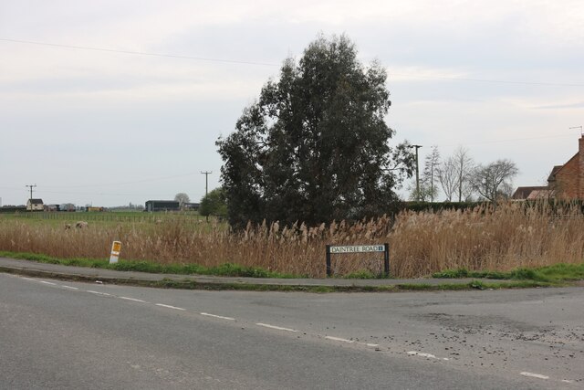
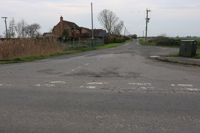
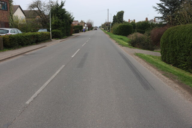
Herne Road, Ramsey St Mary's At the corner of Daintree Road
Herne Road, Ramsey St Mary's Credit: David Howard

The requested URL returned error: 429 Too Many Requests

If you have any feedback on the listing, please let us know in the comments section below.

Ramsey St Mary's Images

Images are sourced within 2km of 52.486145/-0.14953265 or Grid Reference TL2589. Thanks to Geograph Open Source API. All images are credited.
Herne Road, Ramsey St Mary's At the corner of Daintree Road
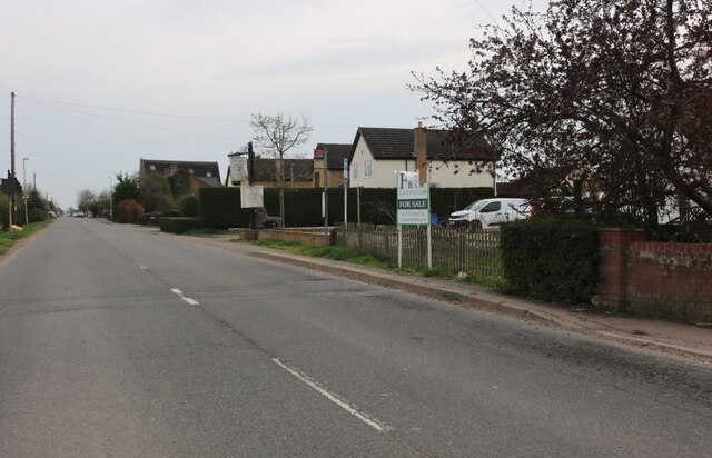
Herne Road, Ramsey St Mary's
At the corner of Daintree Road
Daintree Road, Ramsey St Mary's
Herne Road, Ramsey St Mary's
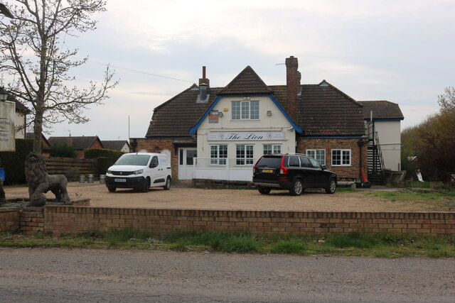
The Lion Pub, Ramsey St Mary's Probably to become residential
The Lion Pub, Ramsey St Mary's
Probably to become residential
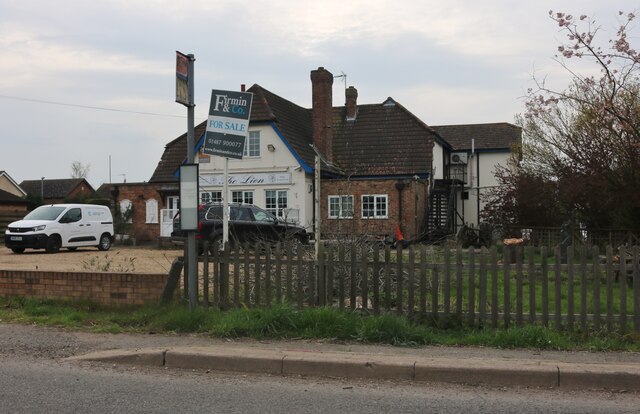
The Lion Pub, Ramsey St Mary's Empty and up for sale
The Lion Pub, Ramsey St Mary's
Empty and up for sale
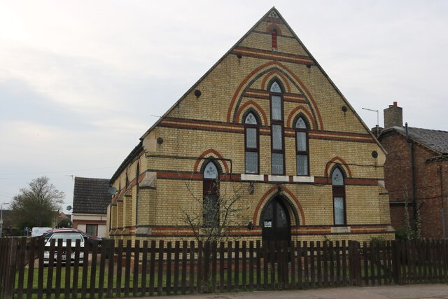
Ex church on Herne Road, Ramsey St Mary's It appears to be flats now
Ex church on Herne Road, Ramsey St Mary's
It appears to be flats now
Herne Road, Ramsey St Mary's
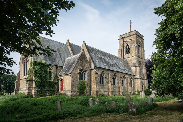
St. Mary's Church, Ramsey St Mary's <span class="nowrap"><a title="https://en.wikipedia.org/wiki/Ramsey_St_Mary%27s" rel="nofollow ugc noopener" href="https://en.wikipedia.org/wiki/Ramsey_St_Mary%27s">Link</a><img style="margin-left:2px;" alt="External link" title="External link - shift click to open in new window" src="https://s1.geograph.org.uk/img/external.png" width="10" height="10"/></span>
St. Mary's Church, Ramsey St Mary's
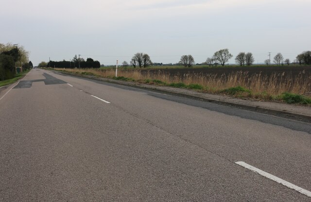
Herne Road, Pondersbridge
The River Nene (Old course) near Stoke's Farm ...
The River Nene (Old course) near Stoke's Farm
...
The last remaining building at Stoke's Farm ...
The last remaining building at Stoke's Farm
...
The River Nene (Old course) near Ramsey St Mary's Between Old Decoy Farm and Stoke's Farm
The River Nene (Old course) near Ramsey St Mary's
Between Old Decoy Farm and Stoke's Farm
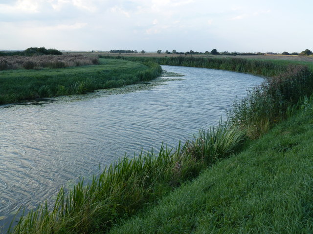
Bend in the river bank The River Nene (old course) makes a 90 degree turn near Old Decoy Farm to the west of Ramsey St Mary's
Bend in the river bank
The River Nene (old course) makes a 90 degree turn near Old Decoy Farm to the west of Ramsey St Mary's
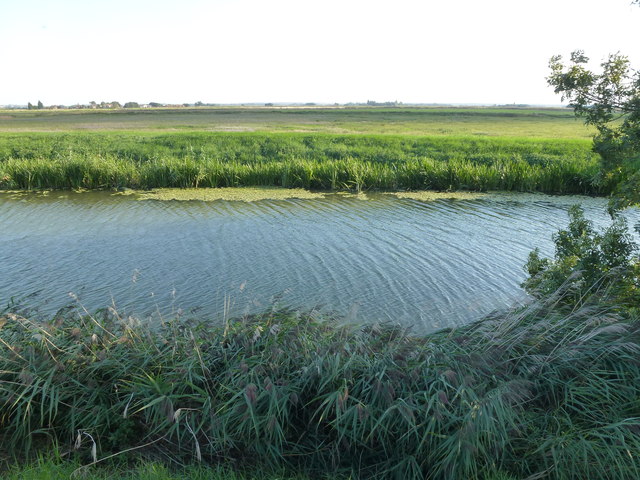
The River Nene (Old course) west of Ramsey St Mary's ...
The River Nene (Old course) west of Ramsey St Mary's
...
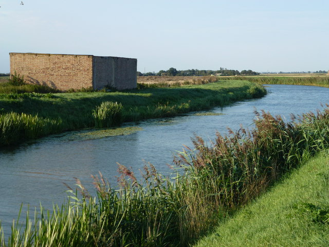
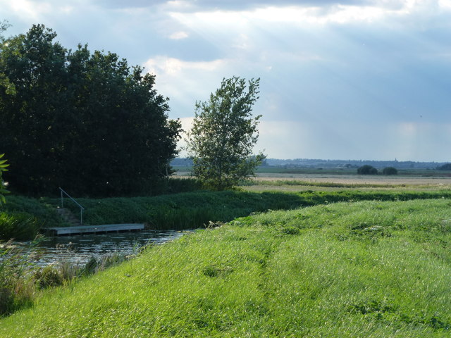
Mooring at Old Decoy Farm A remote farm on The River Nene (Old course) west of Ramsey St Mary
Mooring at Old Decoy Farm
A remote farm on The River Nene (Old course) west of Ramsey St Mary
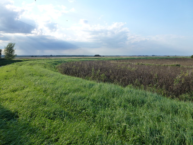
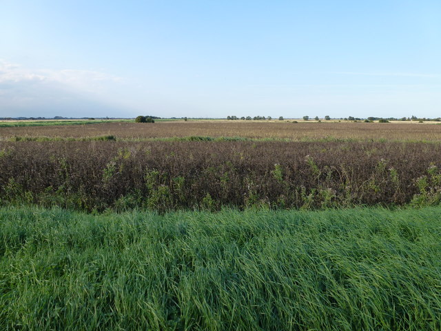
Crop of beans near Old Decoy Farm Remote and low lying fen farmland to the west of Ramsey St Mary's
Crop of beans near Old Decoy Farm
Remote and low lying fen farmland to the west of Ramsey St Mary's
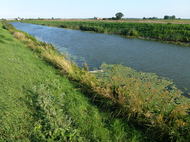
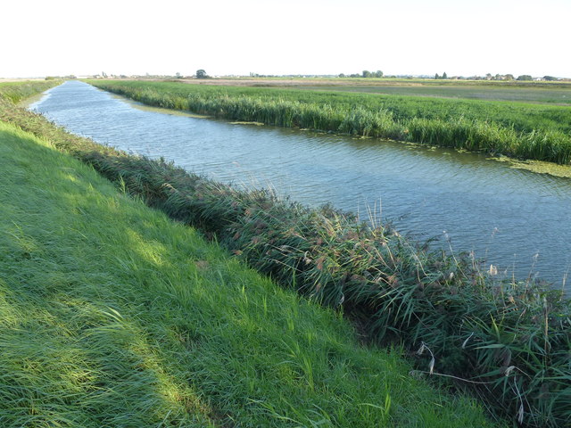
The River Nene (Old course) east of Old Decoy Farm Looking east towards Ramsey St Mary's
The River Nene (Old course) east of Old Decoy Farm
Looking east towards Ramsey St Mary's
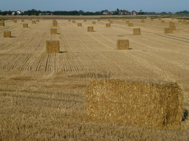
Baled straw near Stoke's Bridge Straw from this field near Ramsey St Mary's may well end up in this power station at Sutton in the Isle <a title="https://www.geograph.org.uk/photo/3562251" href="https://www.geograph.org.uk/photo/3562251">Link</a>
Baled straw near Stoke's Bridge
Straw from this field near Ramsey St Mary's may well end up in this power station at Sutton in the Isle Link
Show me another place!

Ramsey St Mary's is located at Grid Ref: TL2589 (Lat: 52.486145, Lng: -0.14953265)

Administrative County: Cambridgeshire

District: Huntingdonshire

Police Authority: Cambridgeshire

What 3 Words

///something.rinsed.parks. Near Ramsey, Cambridgeshire

Related Wikis

Ramsey St Mary's

Ramsey St Mary's is a village in Ramsey civil parish, part of the Huntingdonshire district of Cambridgeshire, England. == Church == During the 1850s, the...

St Mary's railway station (England)

St. Mary's railway station was the intermediate railway station in Ramsey St Mary's, Cambridgeshire on the Great Northern railway line running from Holme...

Pondersbridge

Pondersbridge is a village in Whittlesey civil parish, part of the Fenland district of Cambridgeshire, England. Pondersbridge is essentially a settlement...

Ramsey Mereside

Ramsey Mereside, known colloquially as "The Village", is a small village approximately 3.5 miles (5.6 km) north of the town of Ramsey, Cambridgeshire...

Nearby Amenities

Located within 500m of 52.486145,-0.14953265
Power: pole
Lat/Long: 52.4892303/-0.1495709
Power: pole
Lat/Long: 52.490091/-0.1493751
Building: yes
Lat/Long: 52.4865796/-0.1538856
Place: farm
Lat/Long: 52.4893822/-0.1538534
Power: pole
Lat/Long: 52.4863961/-0.1421827
Power: pole
Lat/Long: 52.4865023/-0.1434947
Power: pole
Lat/Long: 52.4866231/-0.1448097
Power: pole
Lat/Long: 52.4867197/-0.146068
Power: pole
Lat/Long: 52.4868246/-0.1473947
Power: pole
Lat/Long: 52.4869225/-0.1486872
The data included in this document is from www.openstreetmap.org. The data is made available under ODbL.

Have you been to Ramsey St Mary's?

Leave your review of Ramsey St Mary's below (or comments, questions and feedback).